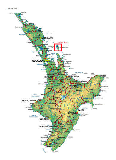
Great Barrier Island is 100km North East of Auckland Central, and sits between the Hauraki Gulf and the Pacific Ocean just to the north of the Coromandel Penninsula. More than half of the island is a nature reserve, and the 1000+ residents live off the grid.
I first visited Great Barrier 25 years ago, and have been trying to get back to do a hike for months now. I’ ha’d planned it as a warm up hike before my Southern Alps crossing, but it wasn’t to be. First, a downpour flooded Auckland, including the airport, so I couldn’t fly out, then the Island was closed down due to the Cyclone Gabrielle. Now, a month after completing my Southern Alps crossing, and I finally made it.
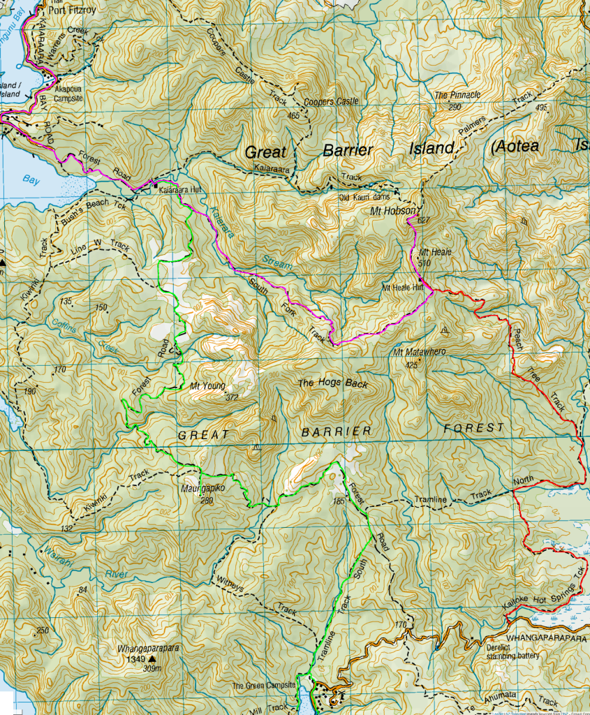
Day 1: Whangaparapara Road to Mt Heale Hut – 8.2 km – 3.5 hours – Red Track
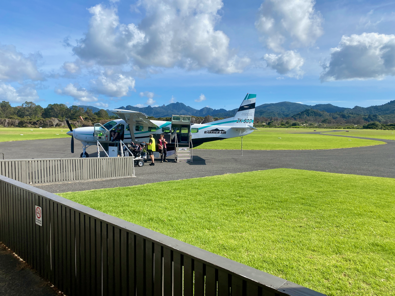
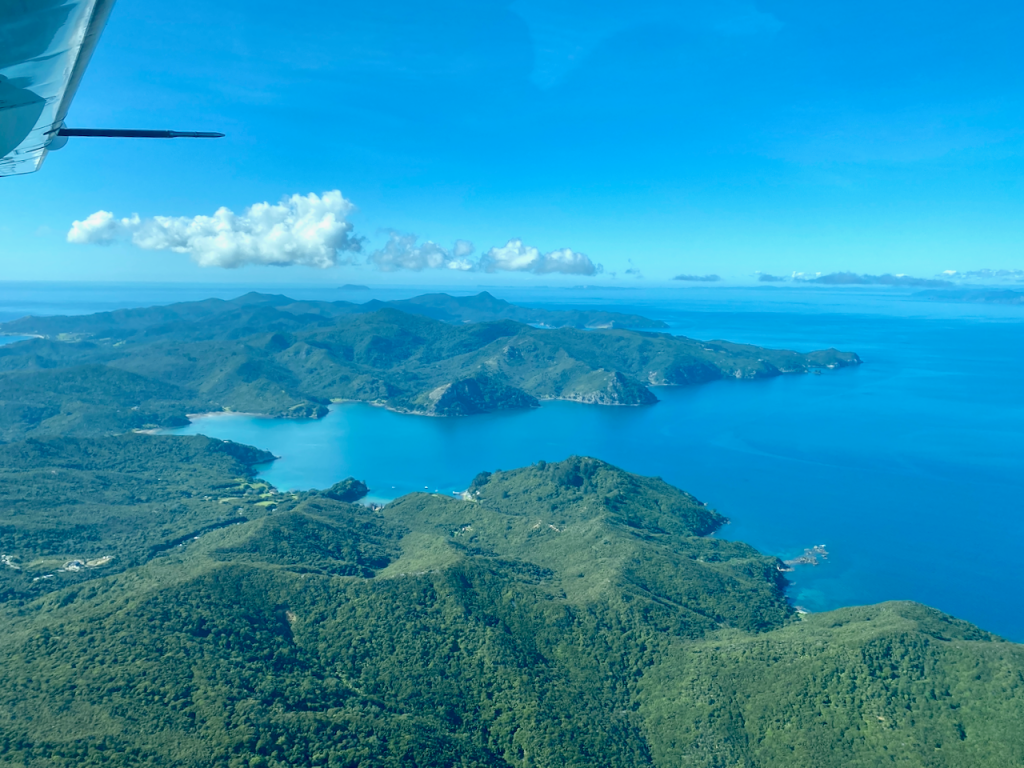
I’d tossed around catching the car ferry over, but with the extra costs associated with it, flying was only a little more expensive. So, after a quick 30 minute flight in a 12 seater Cessna aircraft, I arrived on the island.
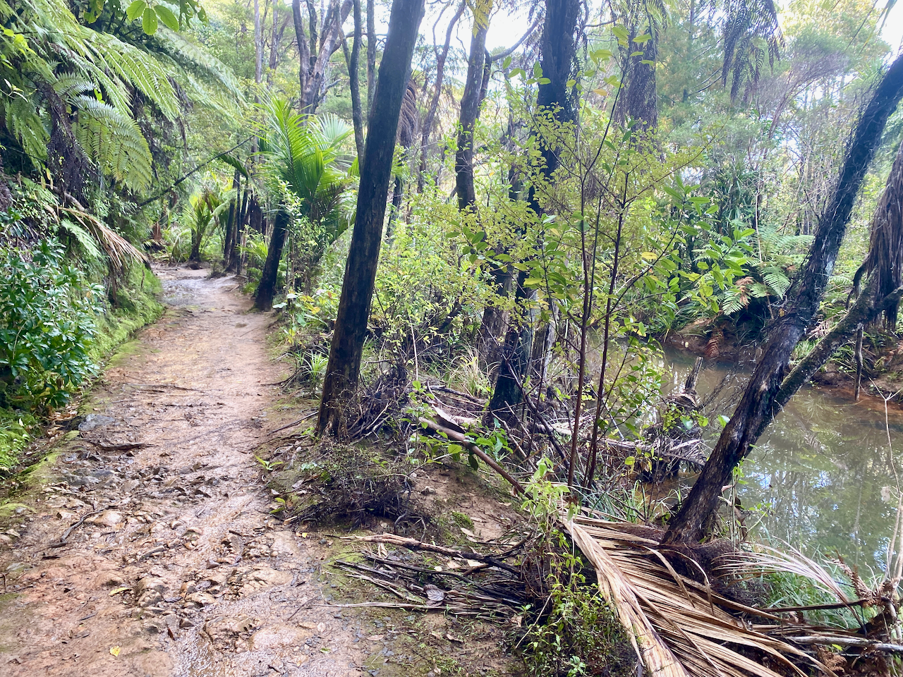
I’d arranged to be collected from the airport and delivered to the trailhead by a local transport. I arrived at 2:10 pm, and with an estimated 4 hours walk, I set out along a wide track beside a stream. As daylight savings ended last night, sunset was going to be just after 6, so I was going to be close.
Along the trail I got my first look across the grasslands, with views of the short mountains beyond.
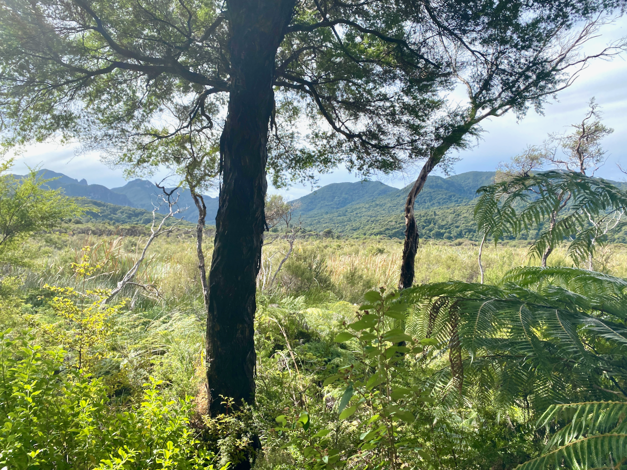
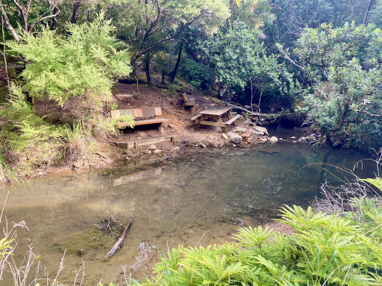
The trail was flat and the smell of sulphur in the air heralded in my arrival at the ‘hot springs’. The springs themselves were more of a luck warm stream with pools along it. I might have gone in if I hadn’t been pressed for time, although as they weren’t quite hot, they lost their appeal.
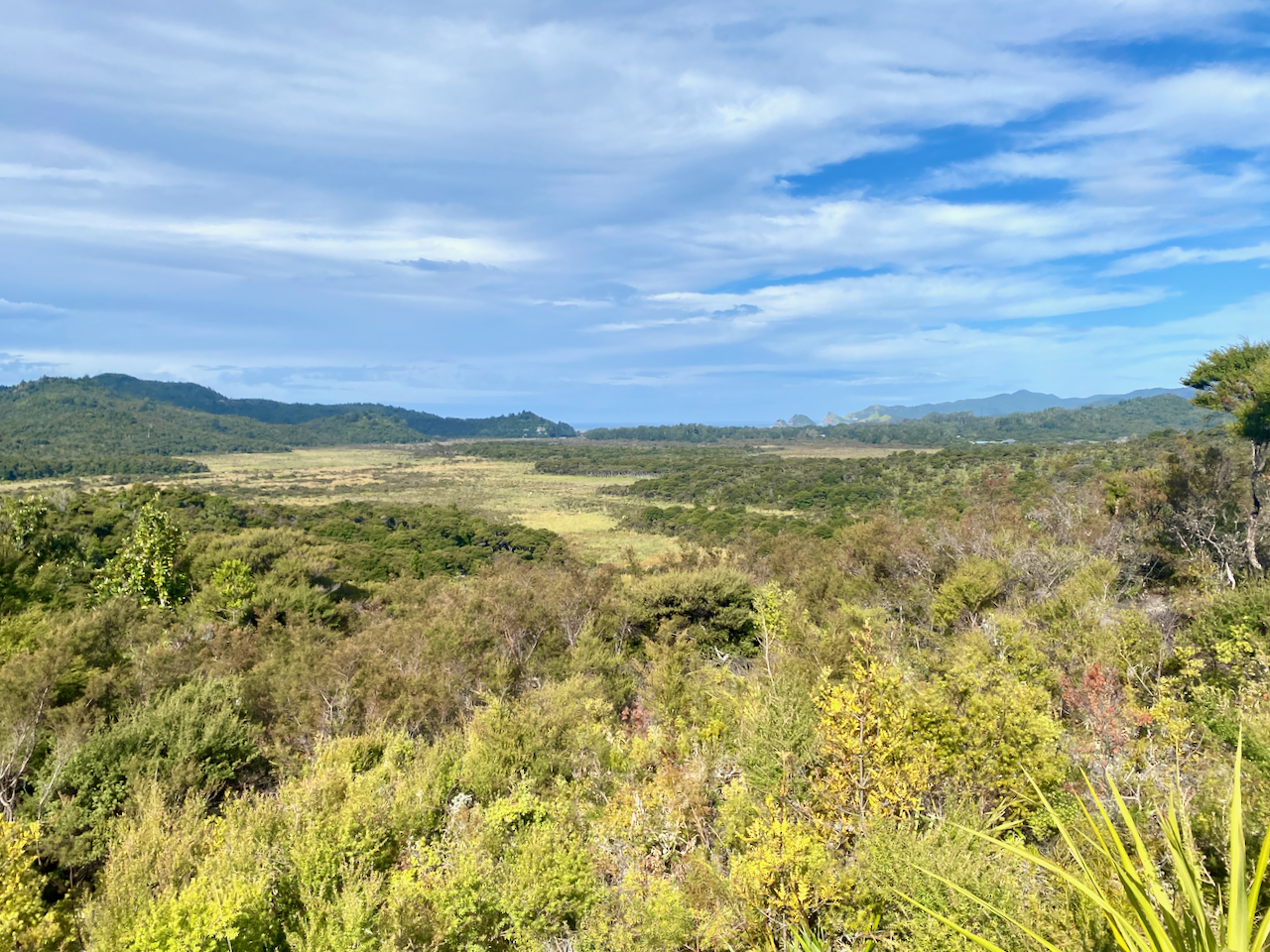
Not long after the hot springs, I arrived at the Tramline trail where Kauri Trees were logged more than 100 years ago. A view out over the grasslands to Kaitoke and Medlands Beaches.
The Tramline track was also flat until it headed up Peach Tree Trail, which began a crazy amount of steps. This would be a reccuring theme on the island.
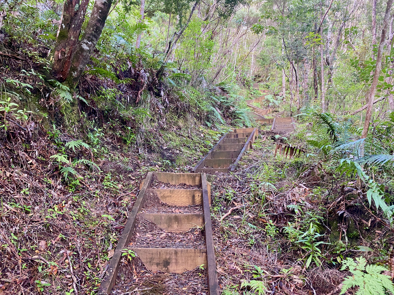
Starting near sea level, I climbed towards the the hut at 412m. The lack of breeze ensured that my climb felt more like I was swimming up the mountains in my own sweat. But the views were worth the energy.
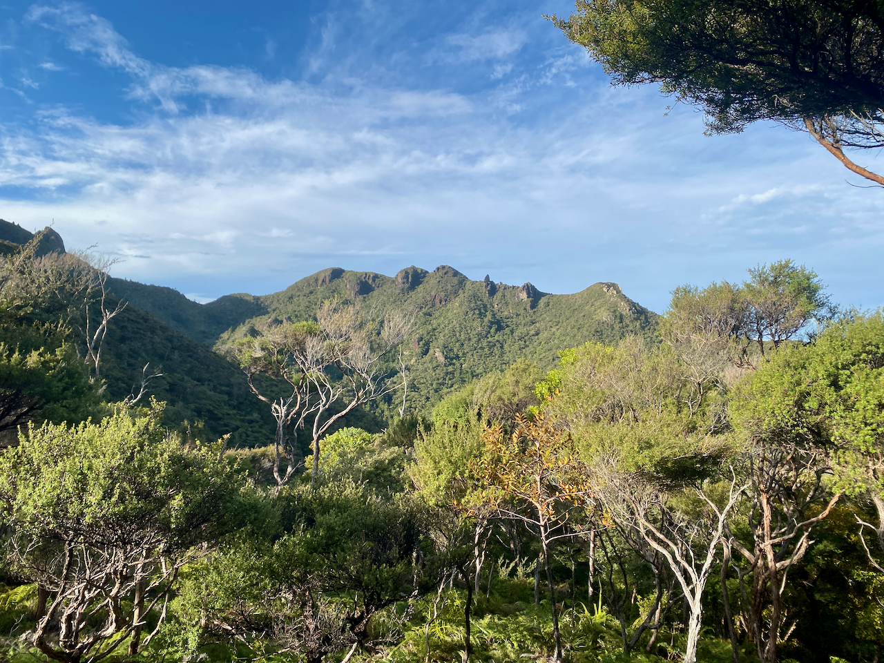
And I got a better look back to Kaitoke and Medlands Beaches as I got higher. The trees gave way to low scrub giving an almost alpine feel on a mix of dirt path and stairs.
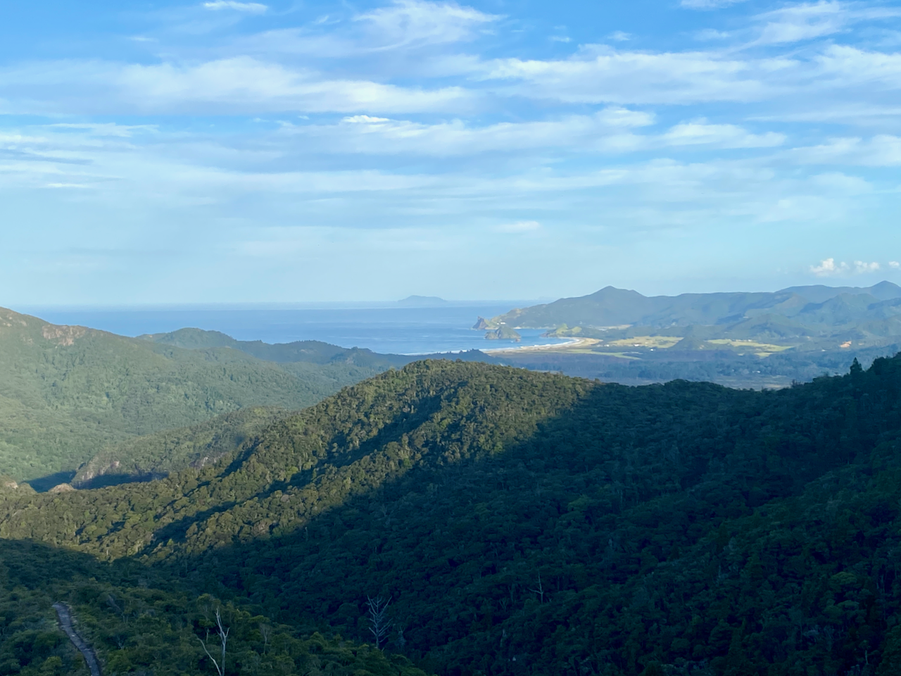
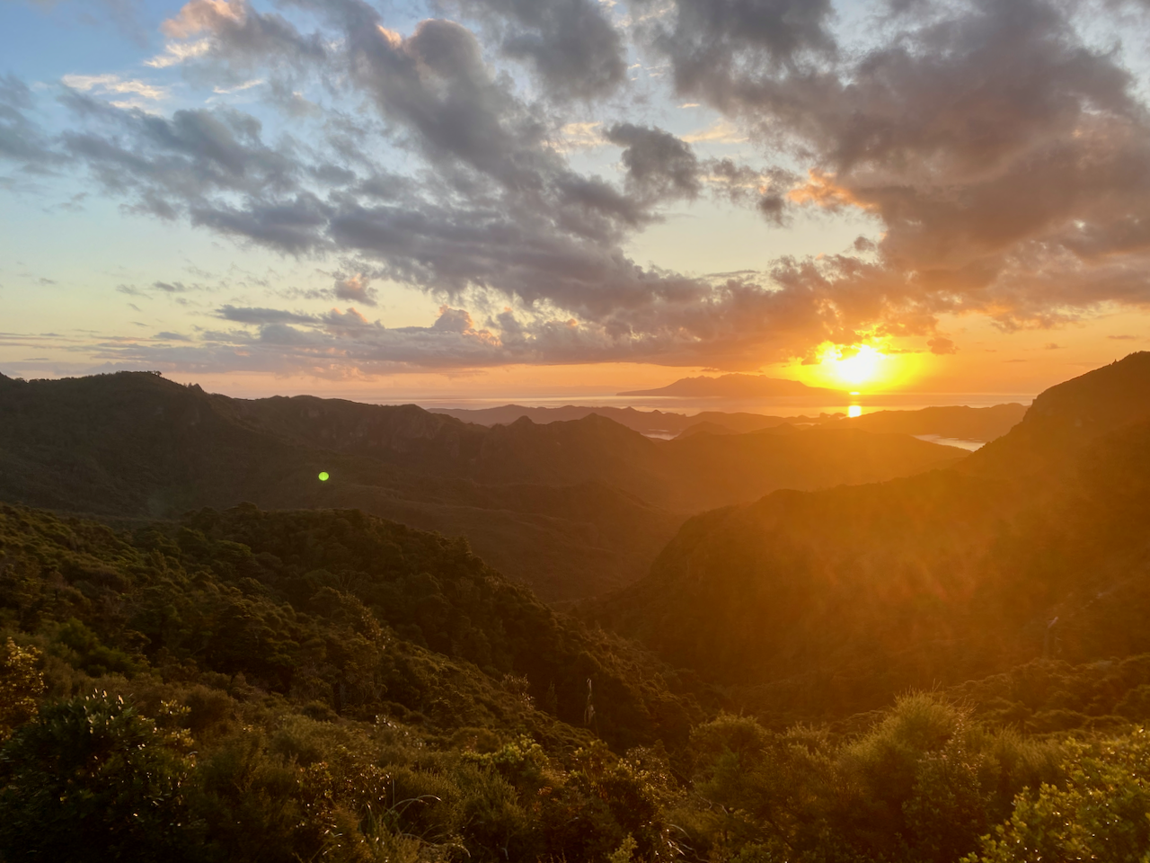
At the 400m altitude mark, I saw the sign to the Hut stating 5 min and 200 m. I arrived soon after and found a family group of 4 already there. I went in, claimed a bunk, had a quick hiker’s shower before going out to watch the sunset. Then while chatting to the family members, I cooked a Chef Corso Trail Meal, Macaroni with Bacon and Blue Cheese.
Day 2: Mt Heale Hut to Kaiaraara Hut via Mt Hobson Lookout and Port Fitzroy – 16.9km – 4.75 hours – Pink Track
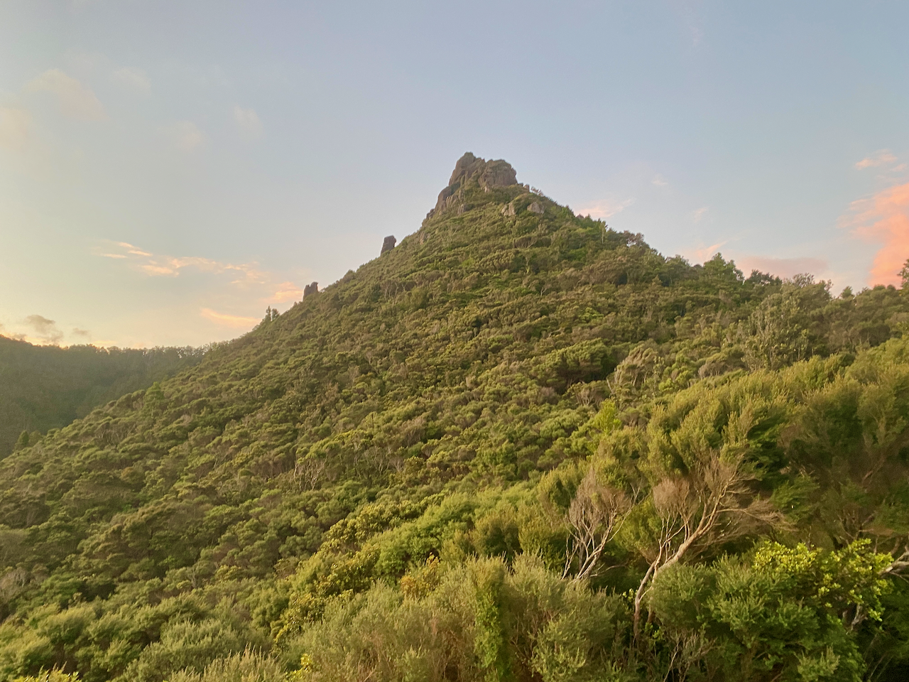
After a fitful night’s sleep, I arose and got ready for today’s walk. First, I climbed past Mt Heale to the summit of Mt Hobson, the tallest mountain on the island, at 627m. I was to have climbed past Mt Hobson and along the ridgeline to the next hut, but due to a slip the trail that was was closed. So I’d left my pack at the hut.
I knew there was going to be a lot of steps, as others in the hut had complained about the sheer number. I didn’t bother counting on the way up, concentrating on the climbing until I reached the summit platform with almost 360 degree views. This over Whangapoua Bay…
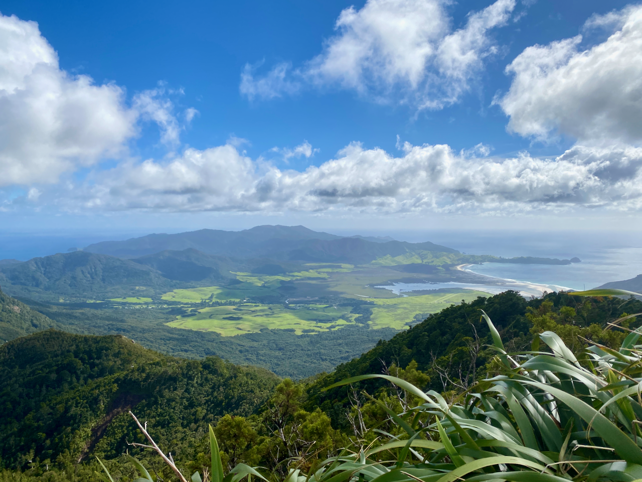
and this over Port Fitzroy with Kaikoura Island, in the centre, and Little Barrier Island, in the distance.
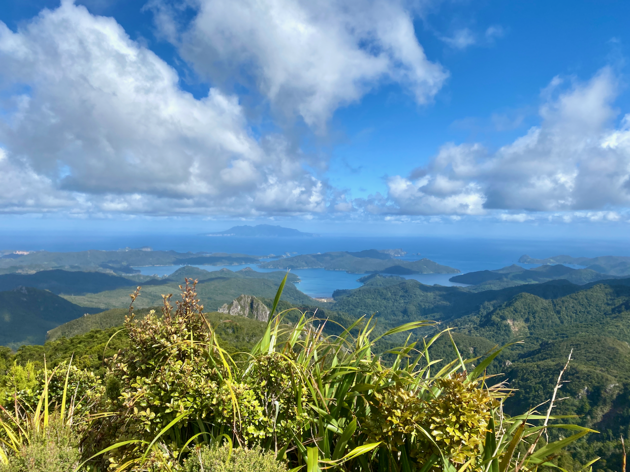
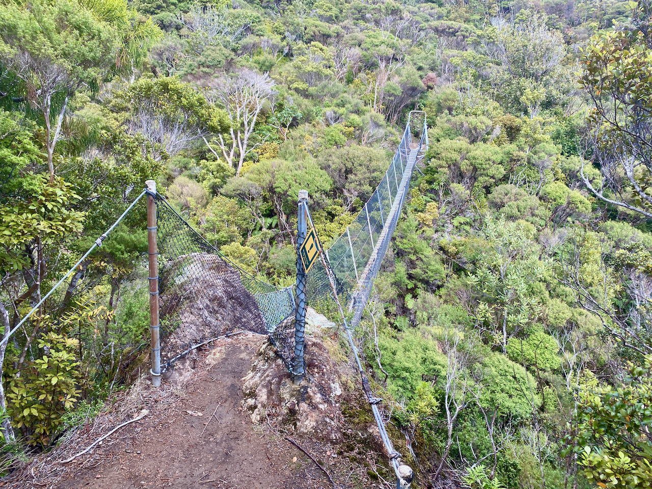
I counted 1016 stairs on the way back to the hut where I picked up my pack and headed straight off again. A sign at the top of the South Fork Track said an hour to the Forest Road, not far from the hut. So it was going to be a short day. The trail headed down slowly, crossing a wire bridge as it went.
The trail was wide and an easy descent. Along the way I passed a pair of woman, the only two people I’d see on the track today.
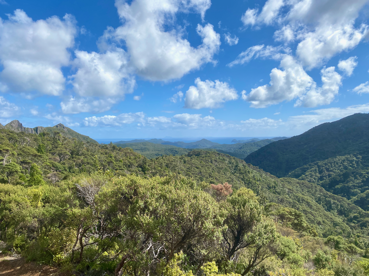
The trail crossed a stream several times, and was easy to avoid getting my boots wet, although the trail was a little muddy and slippery at times. I finally came out at the Forest Road after an hour and a half. Not sure where they got an hour from as I wasn’t walking slowly. The Forest Road is rocky road though the nature reserve, and the sign said 30 minutes to the hut, but it only took 10 minutes.
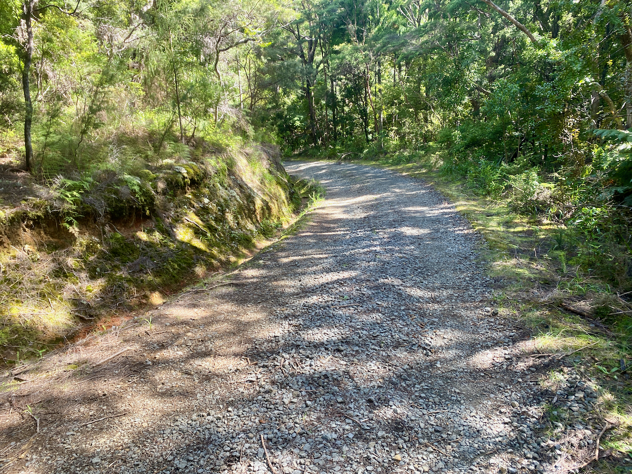
At the hut I ran into one of the ladies from the hut last night. It was early, so we decided to walk the 5km into Port Fitzroy. I’d heard there was a burger place, which turned out to be closed, so we continued walking to the Boat Club, hoping for a burger, but that was also closed. We did manage to persuade the owner to sell us a beer though. Afterwards, we stopped at the shop on the way back. That evening we discovered there were mice under the hut, as my hutmate had left a bag outside with a chocolate bar in it. The mice enjoyed that. Thankfully they couldn’t get inside.
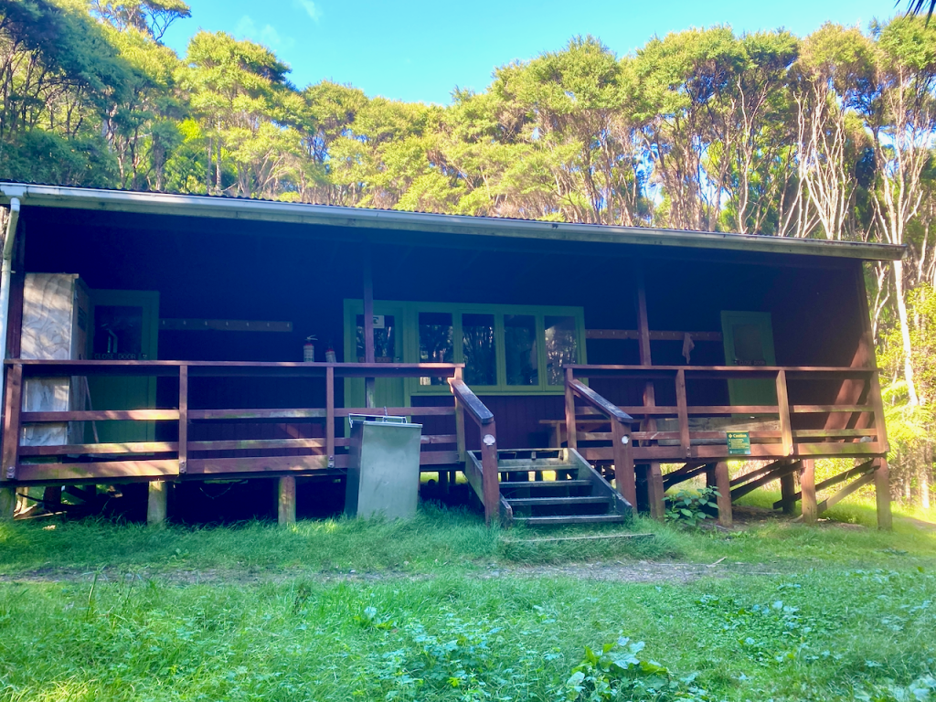
Day 3: Kaiaraara Hut to Green Campsite via Mt Maungapiko – 17km – 4 hours – Green Track
Today would be the longest day, although most of it would be spent walking along the Forest Road. Unfortunately, there wasn’t much of a view most of the time, so I took whatever photos I could.
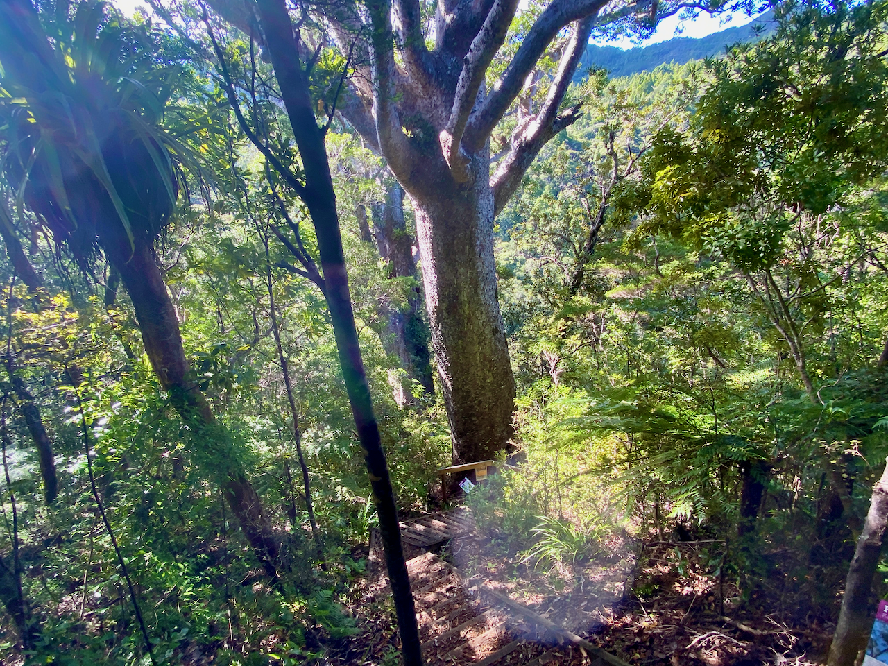
Then a short side trail with a bunch of stairs led down 50m to a pair of large Kauri Trees. After the logging a century ago, there were few of the ancient giants left, and with Kauri Dieback Disease, there are likely to be few others living to such greatness.
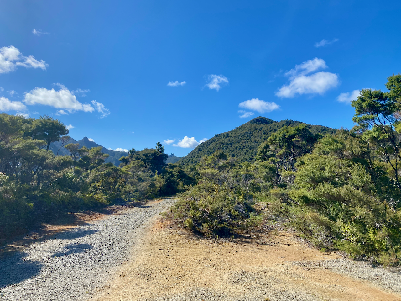
30 minutes later, I came to the turn off to Mt Maungapiko, a 280m peak with good views. It was the only climb off the Forest Road, and in time for lunch, so I took the opportunity, and climbed the rough rock to the top where there’s a wooden bench.
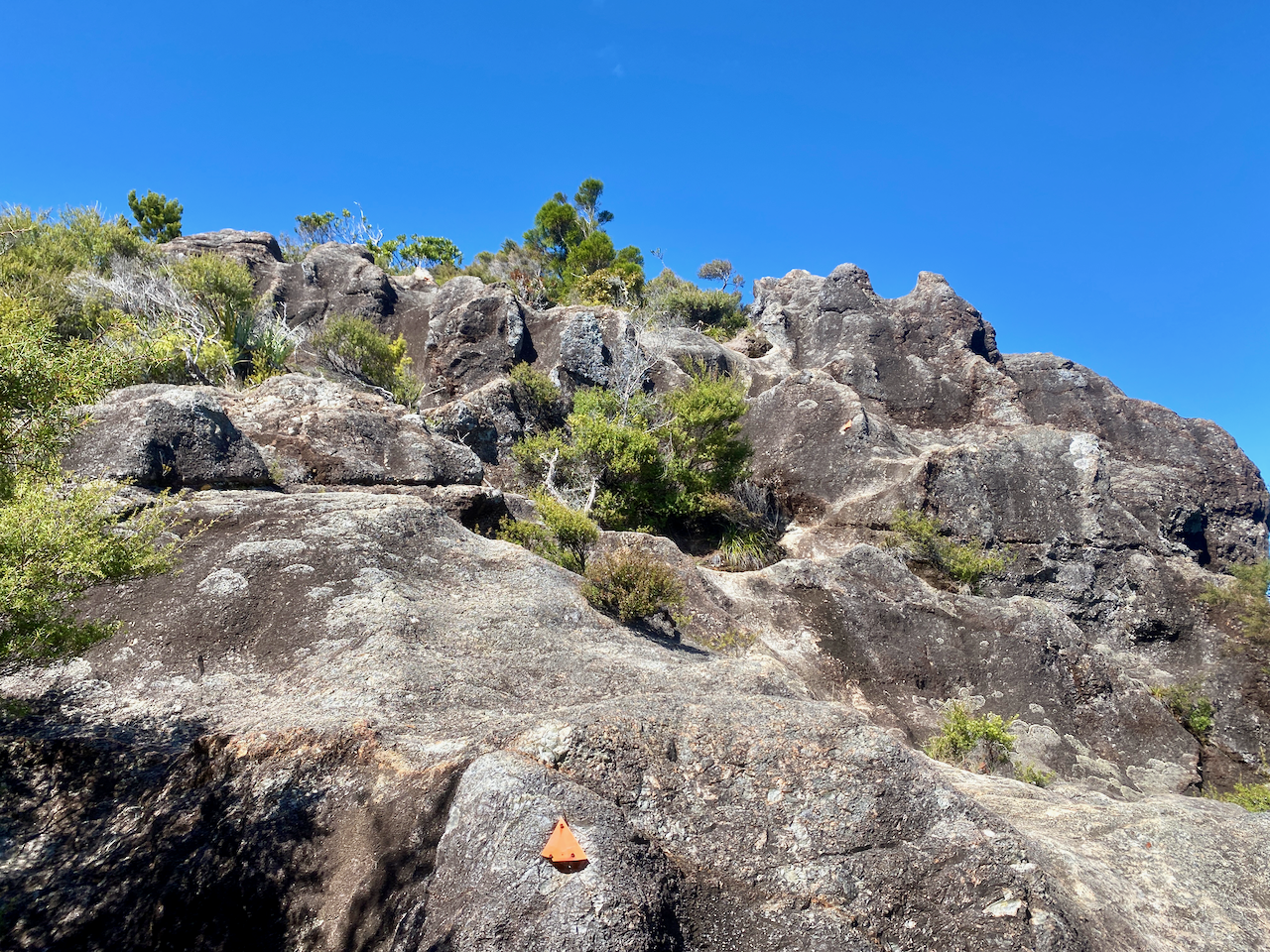
I stopped for lunch, taking photos of the near 360 degree views.
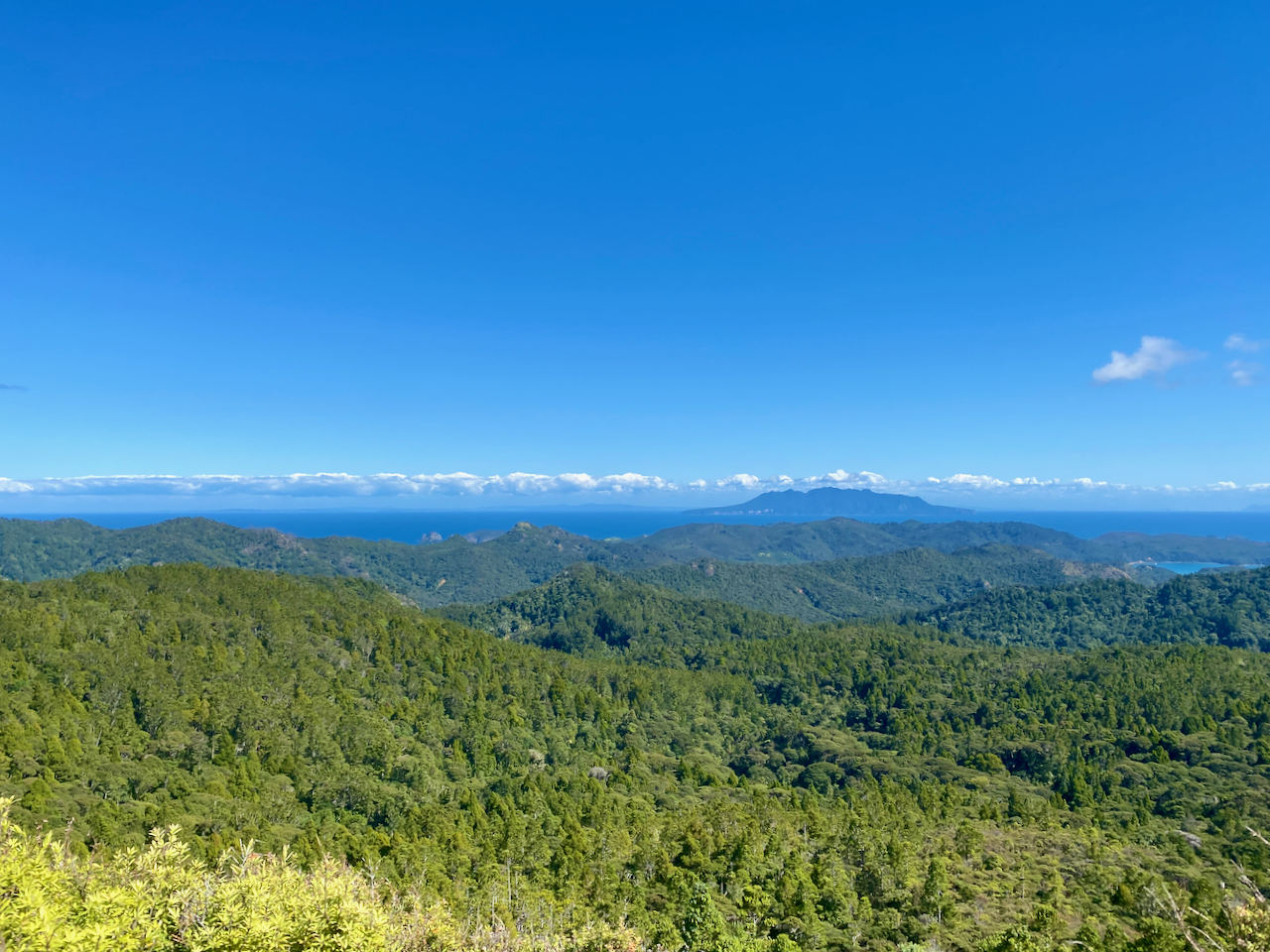
And back the way I’d come.
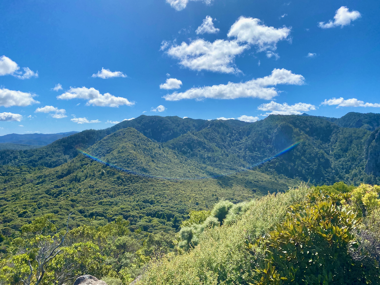
Back on the Forest Road, I headed down to a stream, the climbed for the final time before finally reaching the South Tramline Track. The actual metal tramline had been removed many years ago, leaving just a steep descent. About halfway down I came to the turnoff to the Kauri Falls, and stopped to have a look.
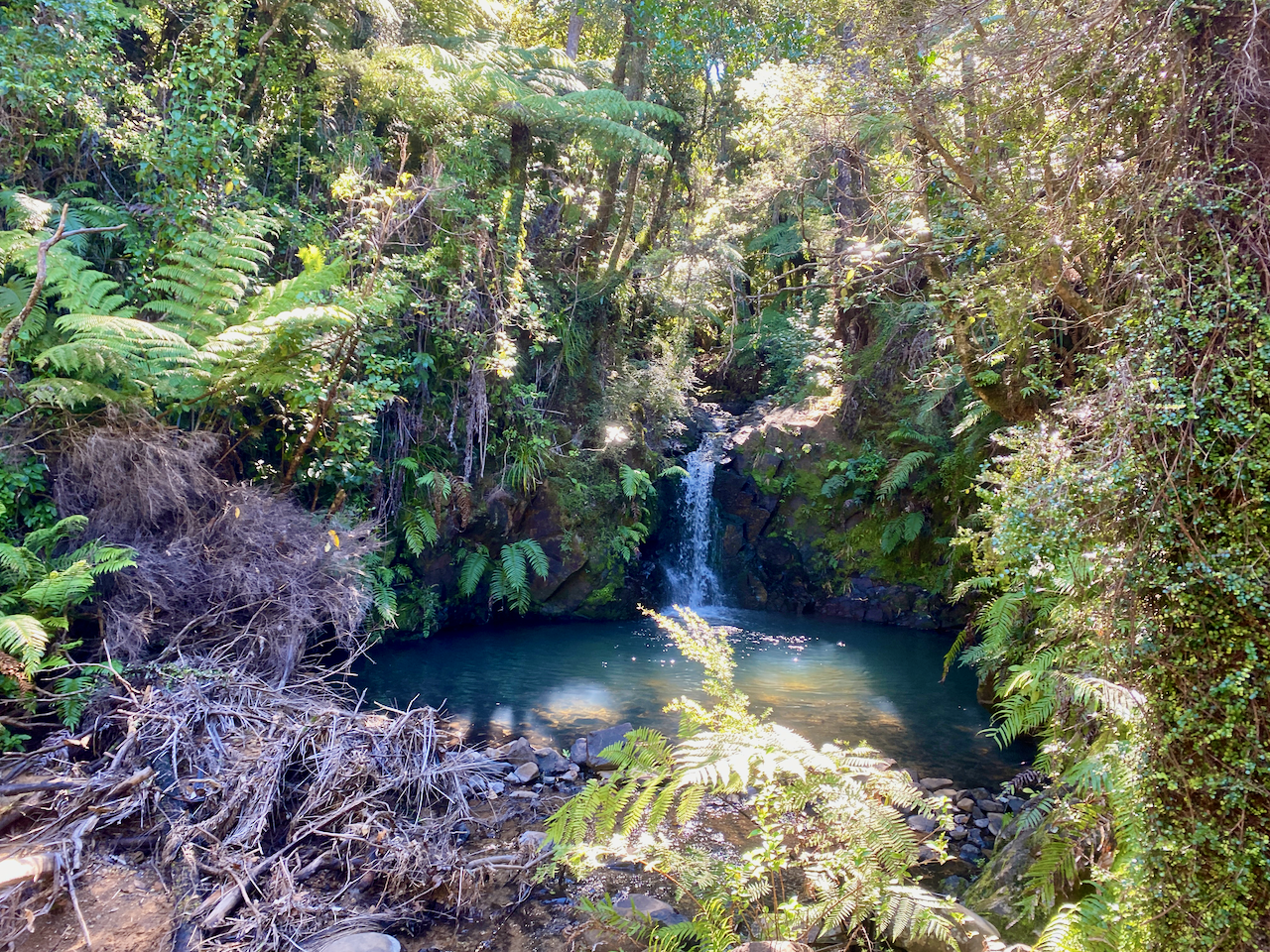
Then it was a fairly easy walk, crossing numerous streams via wooden bridges, before I came out near Whangaparapara, then a 7 minute walk to the Green Campsite, opposite the village. I set up my tent, then went for a short walk along the main road of Whangaparapara hoping to find a beer at the lodge, but it was closed. So, I just chilled, reading in the sun.
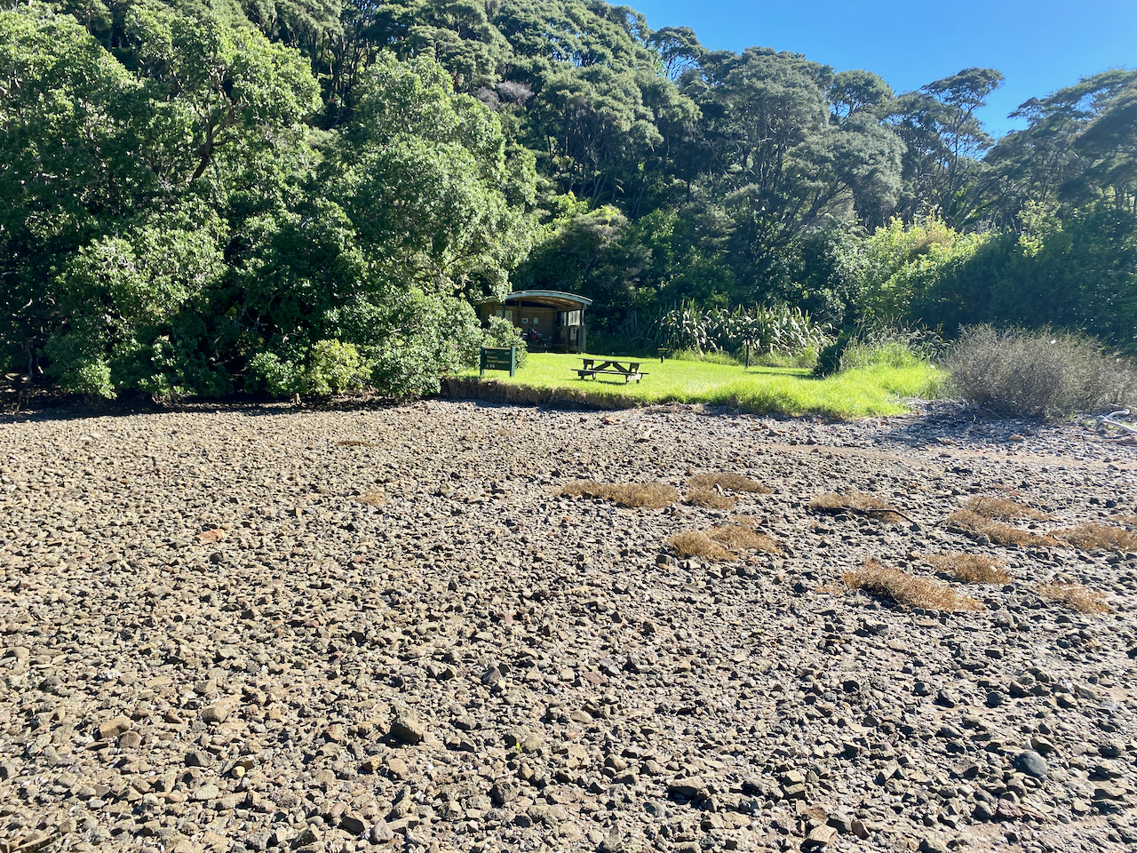
The next morning, I packed and had breakfast, before I met the trail transport guy who dropped me off at the airport for my 30 minute flight home.
Overall
The hike was a fairly easy walk over three days, and would have made the perfect warmup hike had it not been for the weather events. I enjoyed my time there in relative quiet.
The Lone Trail Wanderer

