Valley of the Diamonds – 13km – 5 hours
The only official walk in the Crows Nest National Park that is commonly walked by the public: the Crows Nest Falls and Koonin Lookout (see map below). The entire trail is 4.8km return and should take about 45 minutes. The Valley of Diamonds hike I am writing about here is an off trail hike starting and ending on the official trail. Unfortunately I am unable to modify the map below due to copyright laws. The actual trail I took contains a well-traveled old trail and there are several trail markers in the early part of the walk.
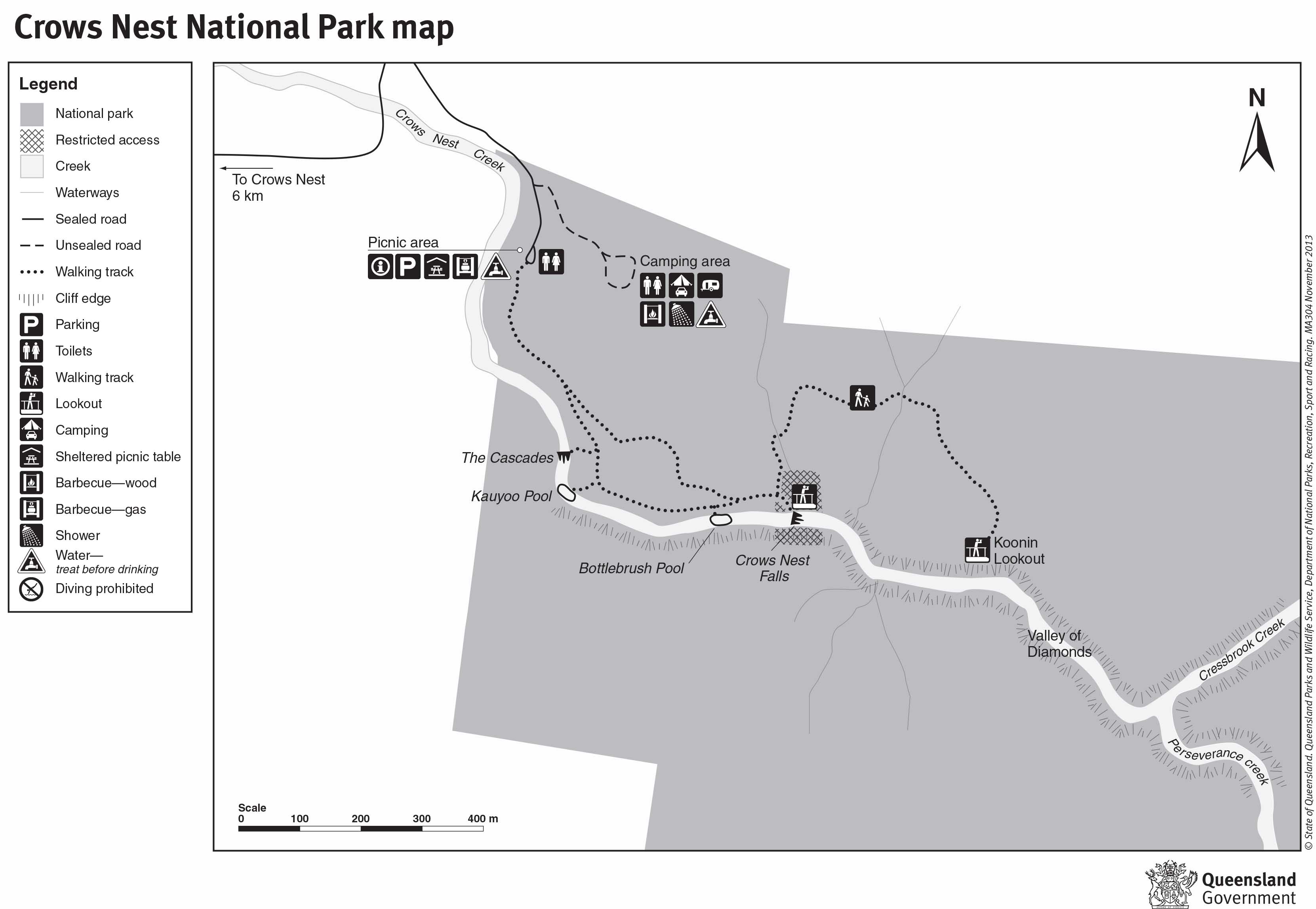
Map is owned by and used with courtesy of Queensland Government. Please visit that site for more detailed information on hiking in this region.
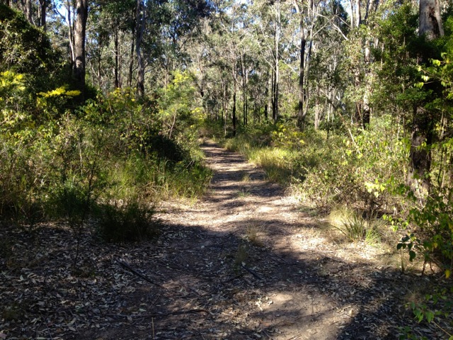
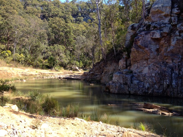
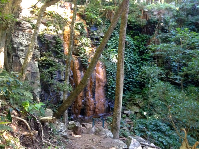
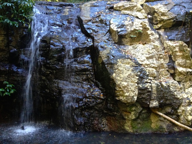
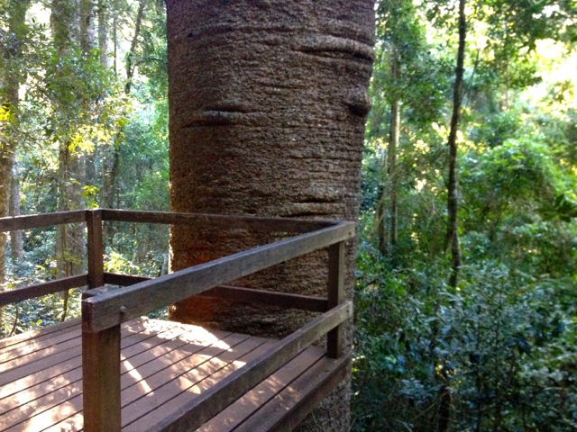
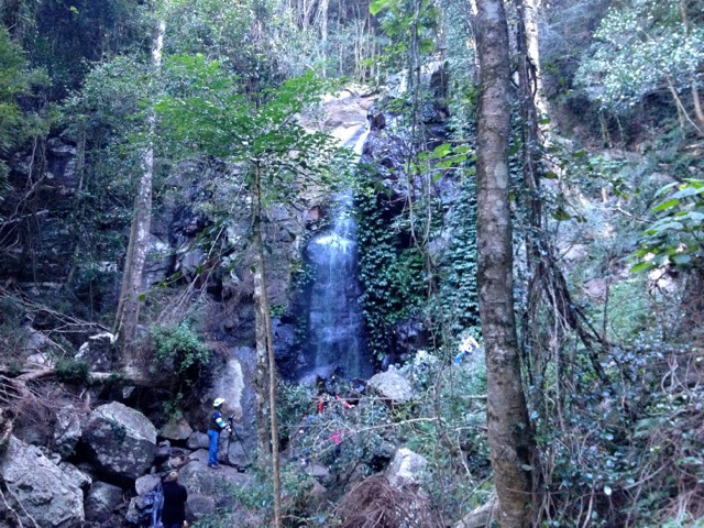
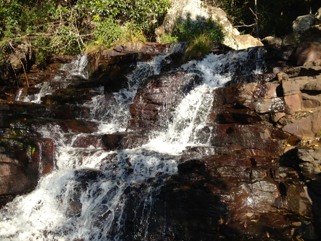
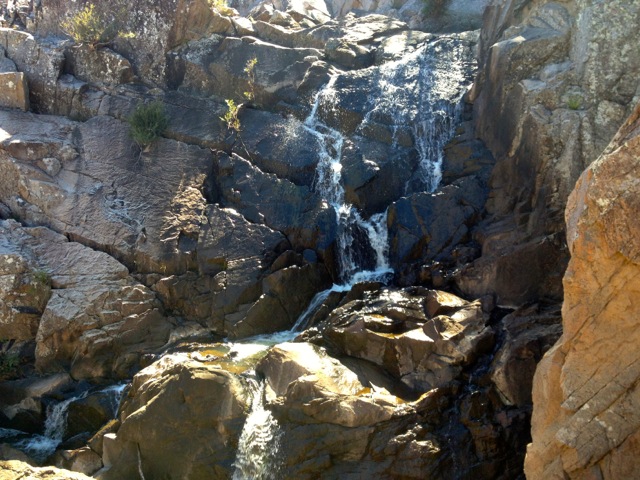
I headed off from the car park along a well-groomed path for a couple of hundred metres. I turned at a junction and headed down the steps to The Cascades. The Cascades is an interesting waterfall. There’s a large pool at the top that flows into a channel of rock that acts like a dam. The water enters the channel on the right side, flows the length of the dam and exits on the left on the other side, down a set of cascading rocks. It’s easy to see why it’s a tourist attraction. There’s also a large pool at the bottom where you can swim.
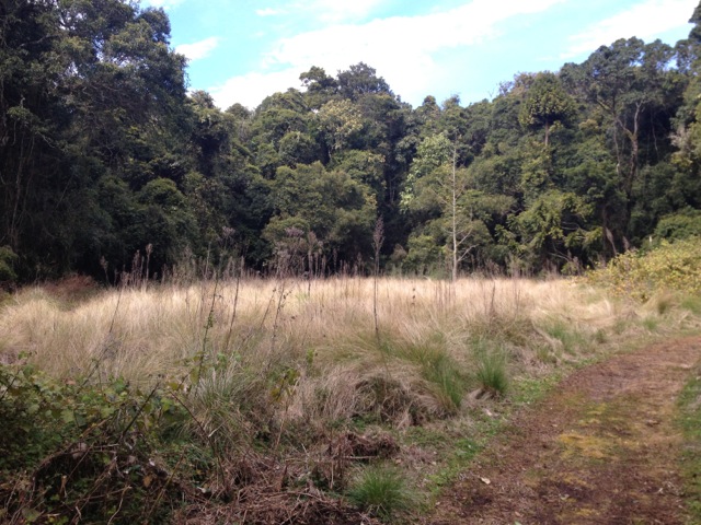
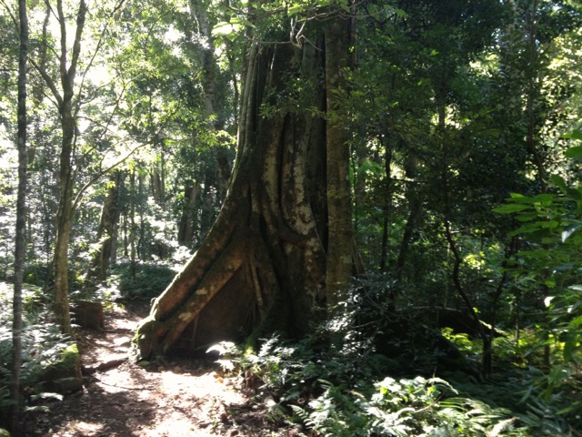
I crossed a concrete causeway just above The Cascades to the far side of the creek and slipped up a hidden trail behind some trees. The trail climbed hidden around the side of the gorge and across the ridge on the far side.
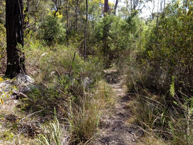
You can’t see any of the falls or water from this side. I climbed until I came to a dirt 4WD road and a trail marker- a short post with a luminous arrow nailed to it pointing the direction.
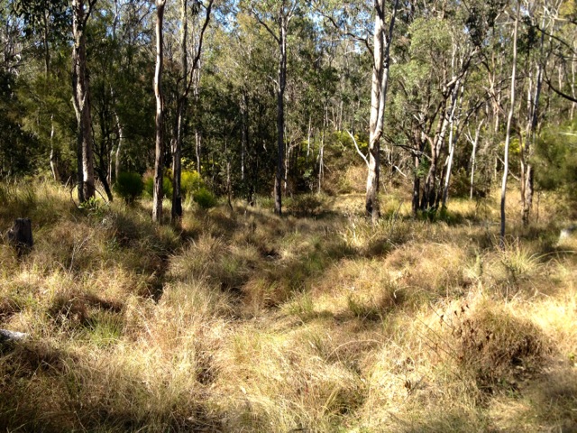
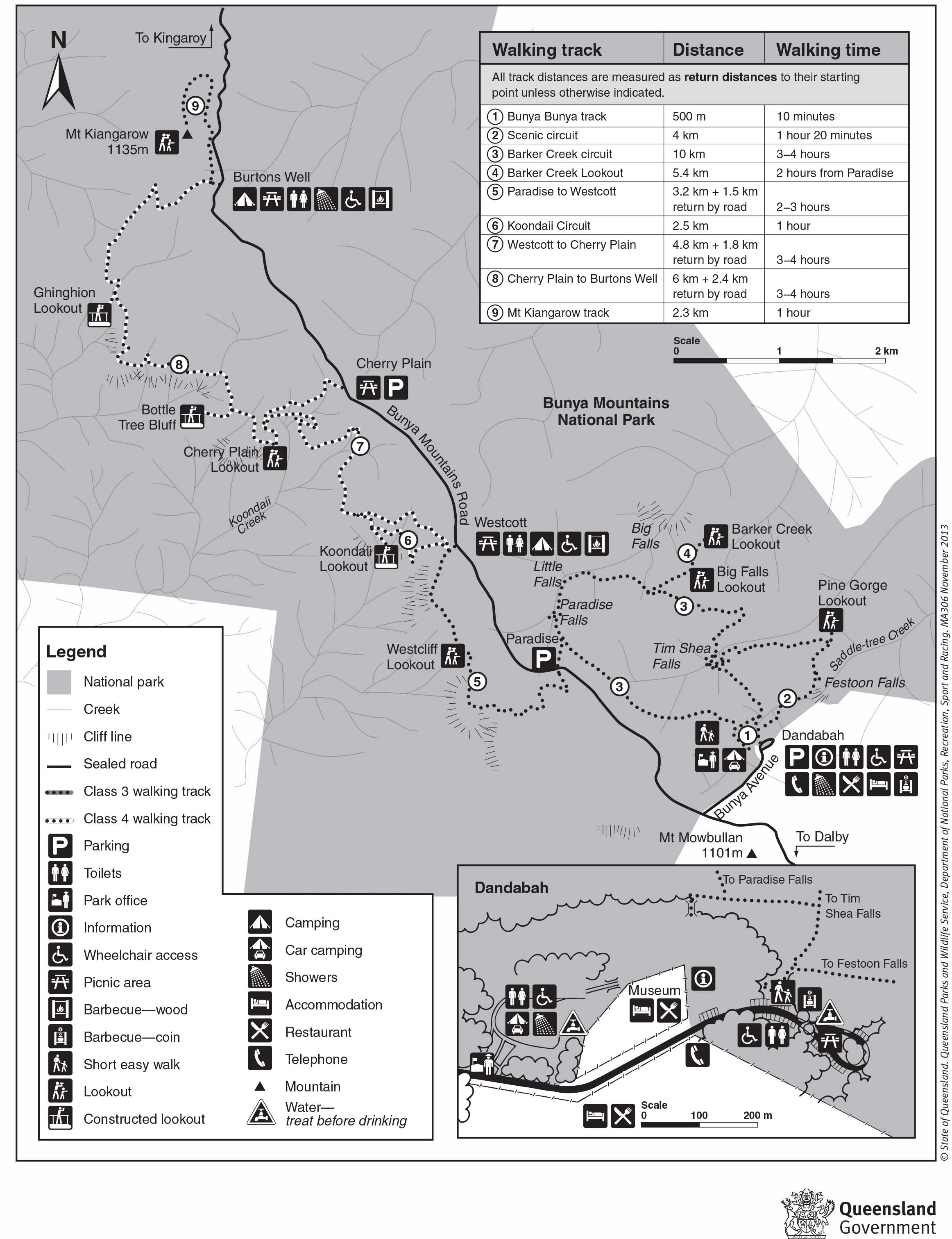
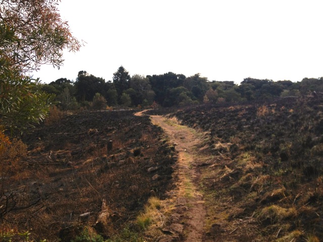
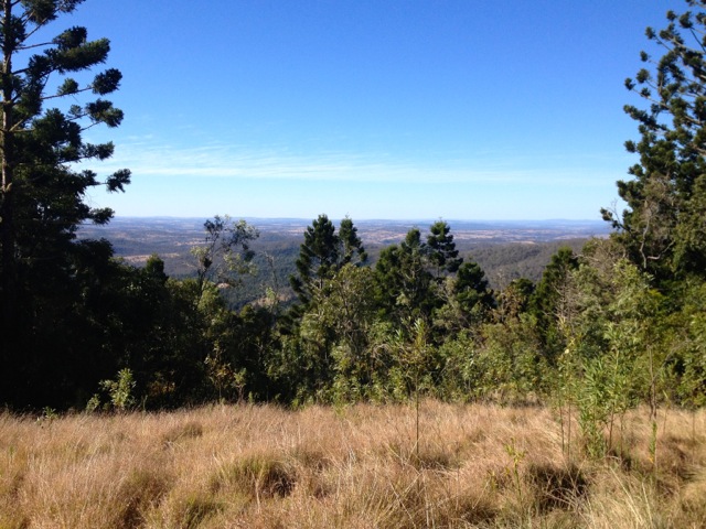
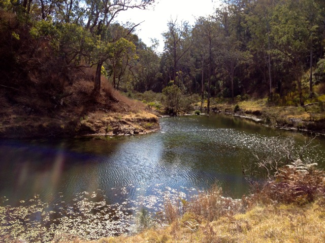
I followed the dirt road for a few hundred meters until I came to a locked gate which I skirted and continued on. Every now and again I would come upon a track marker pointing the way. The road continued for another kilometre before turning sharply to the left. There I found another path and a track marker pointing me along it. The trail opened onto an open dry grassy plain. I continued on until I came to Perseverance Creek. This is the same Perseverance Creek as the one I walked along yesterday, just north of the lake.
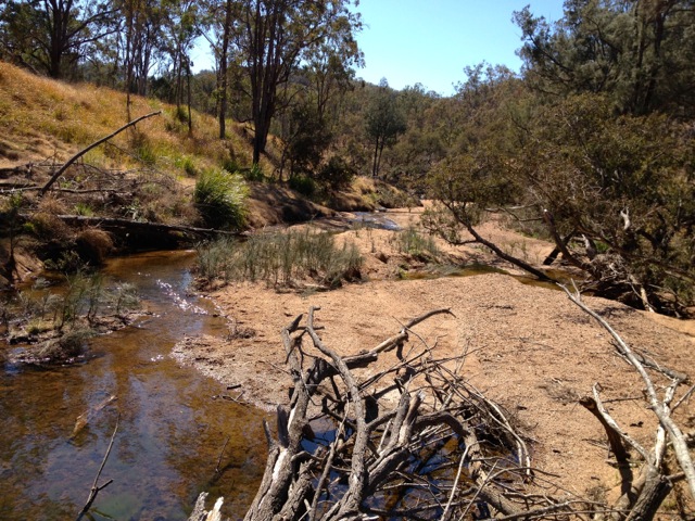
I walked down to the creek and disturbed a massive bird not two metres away – a Wedge Tailed Eagle. That one moment made my entire weekend. If I had been faster, I would have had my camera out and taken shots, but could just stare as it circled into the sky and flew away. This explains the crow feathers I’d found yesterday and the feathery remains I noted in a couple of other places.
High on that little experience, I continued following the trail markers along the creek and south through patches of Lantana – yay! I don’t swear much, but this weed no longer just goes by the name Lantana for me. I have prefixed it with an F word. There wasn’t as much of it as yesterday and I was able to skirt it for the most part. Today I wore only shorts, so my legs suffered a little, but nothing like my arms did yesterday.
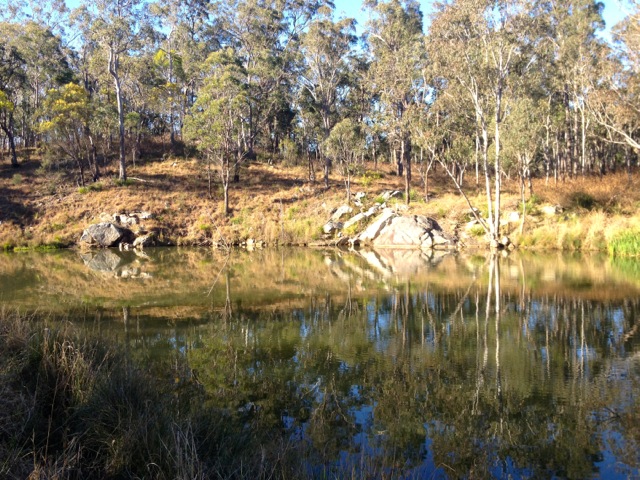
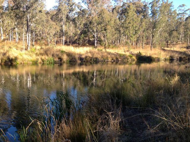
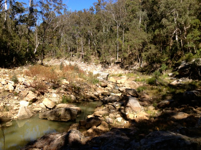
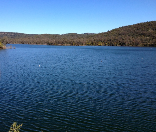
After a couple of kilometres and several areas of skirting Lantana and rock hopping, I arrived at a large pool. I followed a 4WD dirt track on the far side up a hill for several hundred meters to a bitumen road and a picnic area next to Perseverance Lake. On the far side of the lake was the ridge I had climbed along yesterday. I took off my boots and sat down for a bit of a relax before beginning the trip back. I should have probably brought some food, as this was the perfect lunch spot and if I knew how long it would take me to get back, I would have.
After a short break, I retraced my steps back to where I had seen the eagle, but instead of heading back up along the 4WD track I instead headed upstream along the creek.
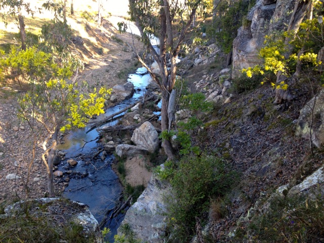
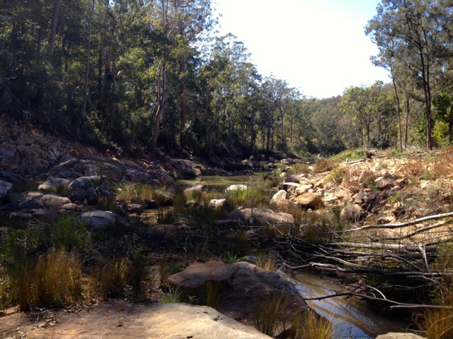
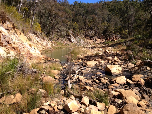
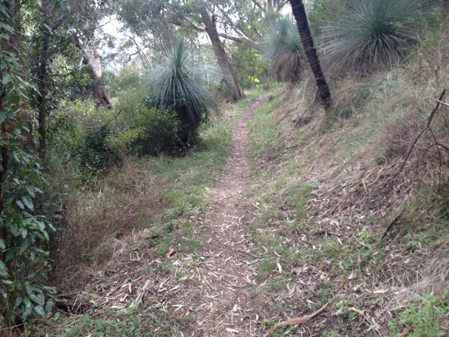
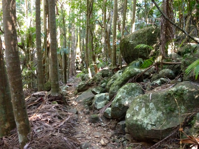
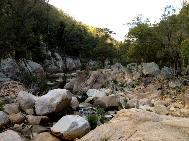
No more track markers from here… I followed the creek, avoiding Lantana as best as I could until I arrived at a section classified as ‘rapids’. There were none as it had not rained here for some time. I rock hopped back and forth across the river until the rocks began to get somewhat larger. Rock hopping through a gorge is a slow activity, especially when the boulders are the size of cars.

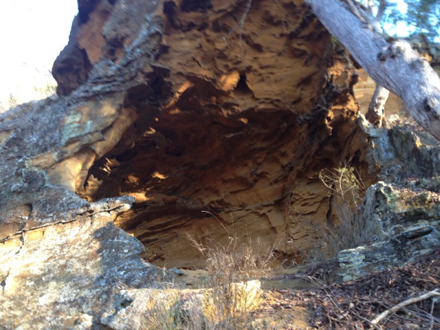
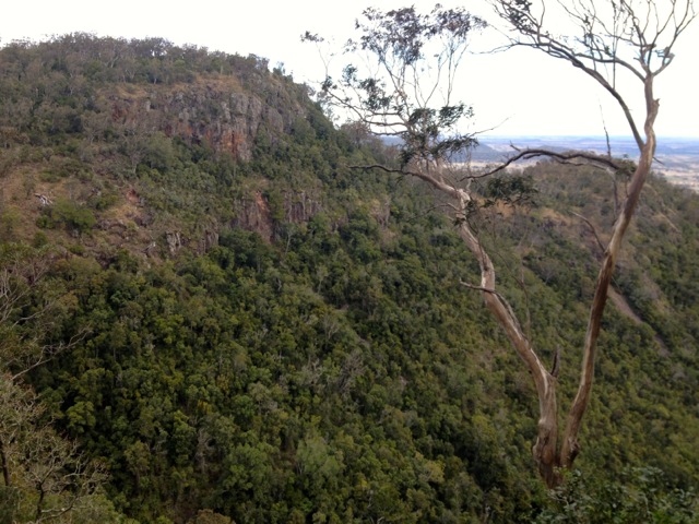
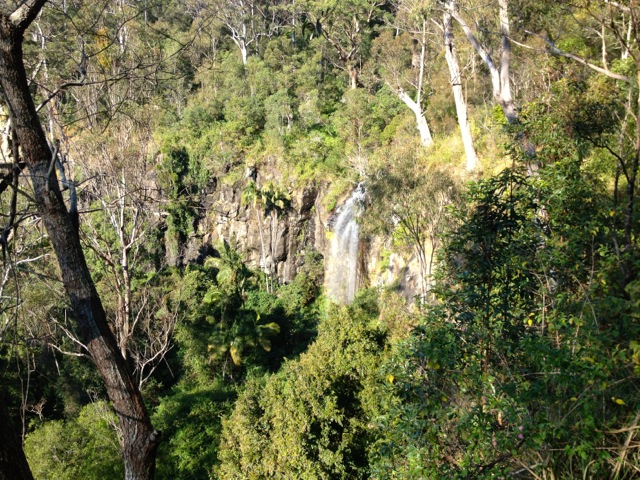
I entered the Valley of Diamonds with it’s massive solid stone cliffs and boulders littering the creek bed.
Flows of waters moved through some areas of the creek. I continued along the valley at a snail’s pace, having to climb and slide down to get to different areas.
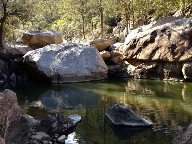
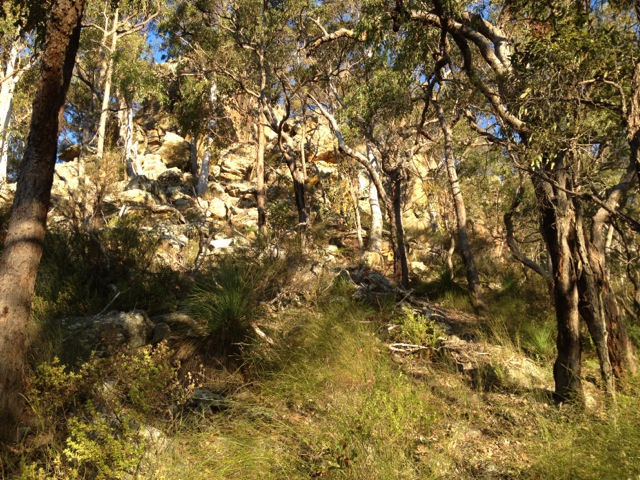
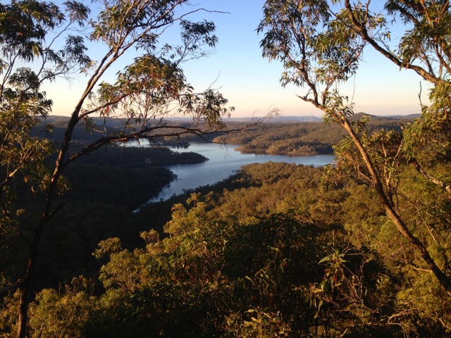
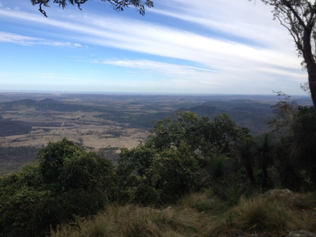
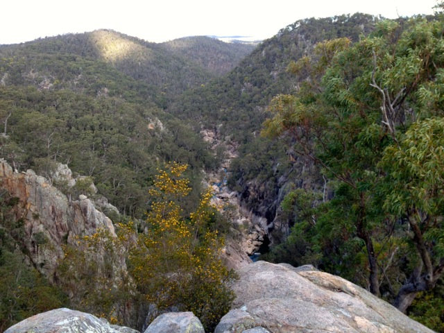
I arrived at a large pool and stopped to read the description in the book. It said, ‘If you arrive at a large pool, you’ve come too far. The escape from the gorge is a gully up the side of the cliff just back from the pool.’ The gully in question is 150 metres tall. I took a drink of my water and it ran out. The climb was not hard, but without water and it being a warm day, I was knackered by the time I reached the top. I climbed a little further to Koonin Lookout and looked down the gorge from whence I’d come.
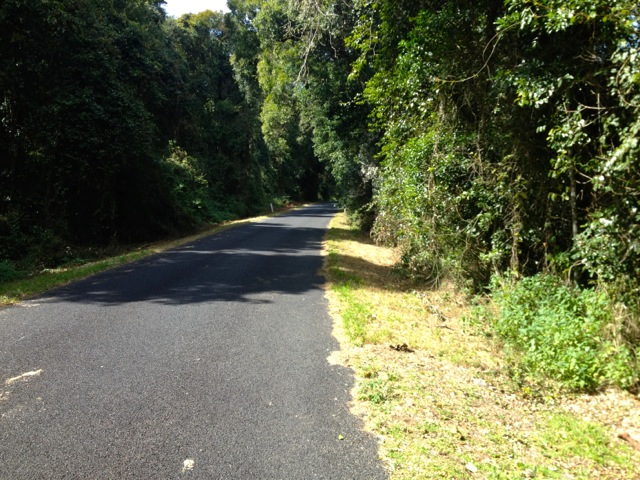
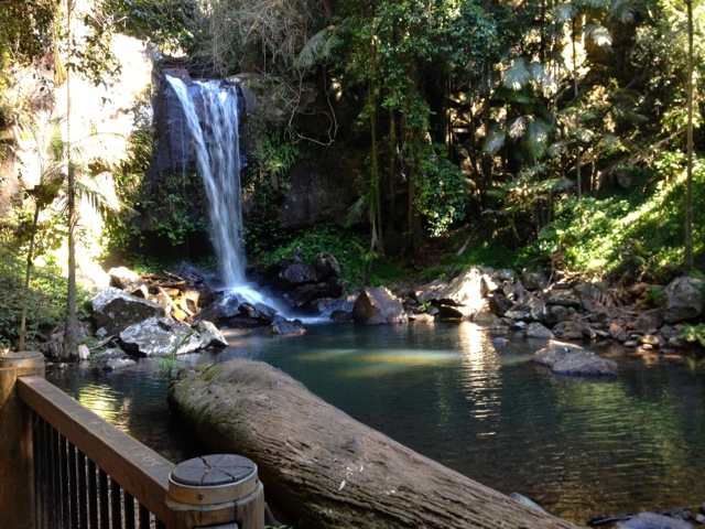
Then it was along the official track past the Crows Nest Waterfall and back to the car park where water and food waited. After a short break, I packed up the van and began the two-hour drive back to Brisbane.
Next Weekend I’m off to Moogerah Peaks National Park where I’m taking the hiking group up Mt Greville.
The Lone Trail Wanderer