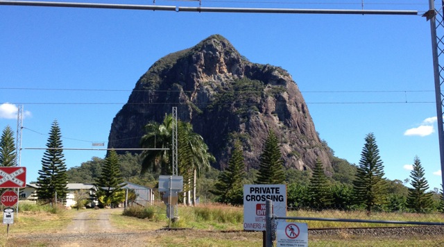
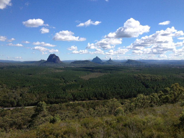
Today was my third day walking in Glass House Mountains. On Day One I climbed Mt Ngungun and Mt Beerburrum, while on Day Two I climbed Mt Tibrogargan and Wild Horse Mountain. Today I won’t be climbing any of the mountains, instead walking several of the other short walks in and around the Glass House Mountains.
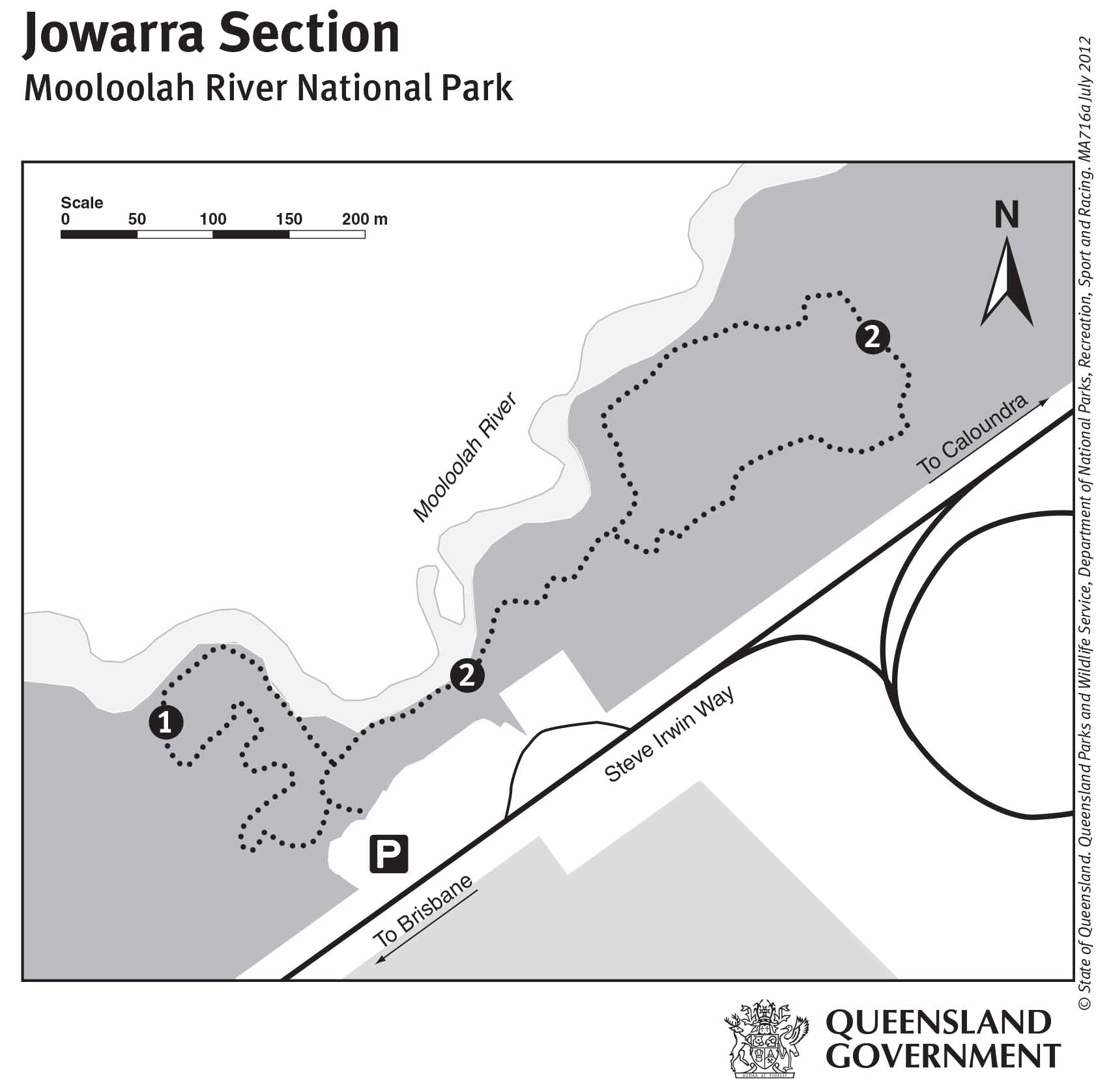
Mooloolah River National Park, Jowarra Section 1.5km
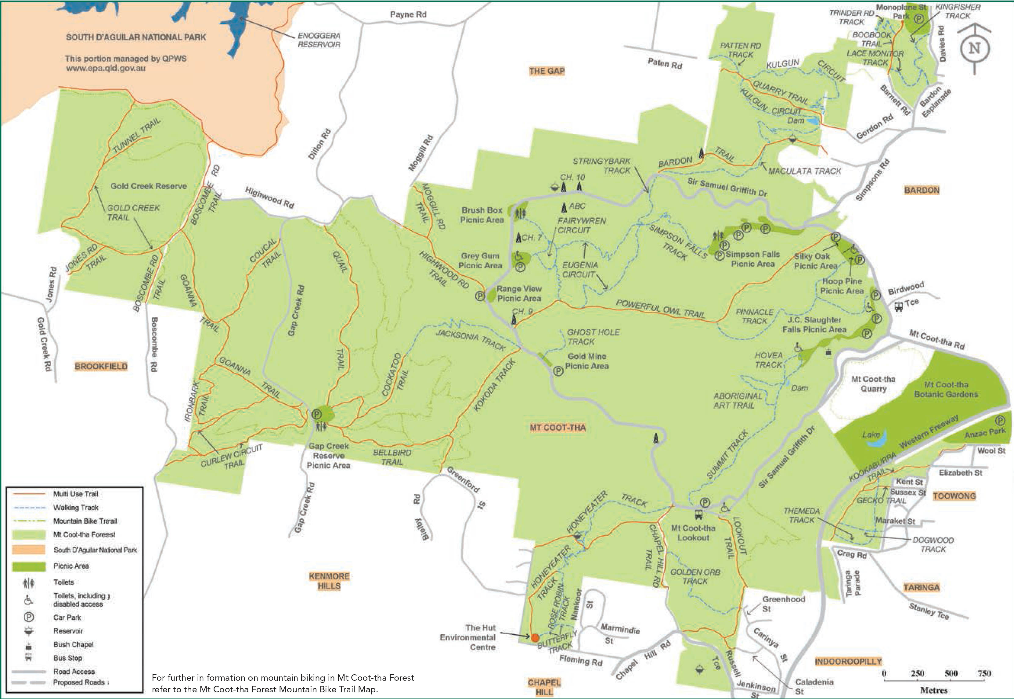
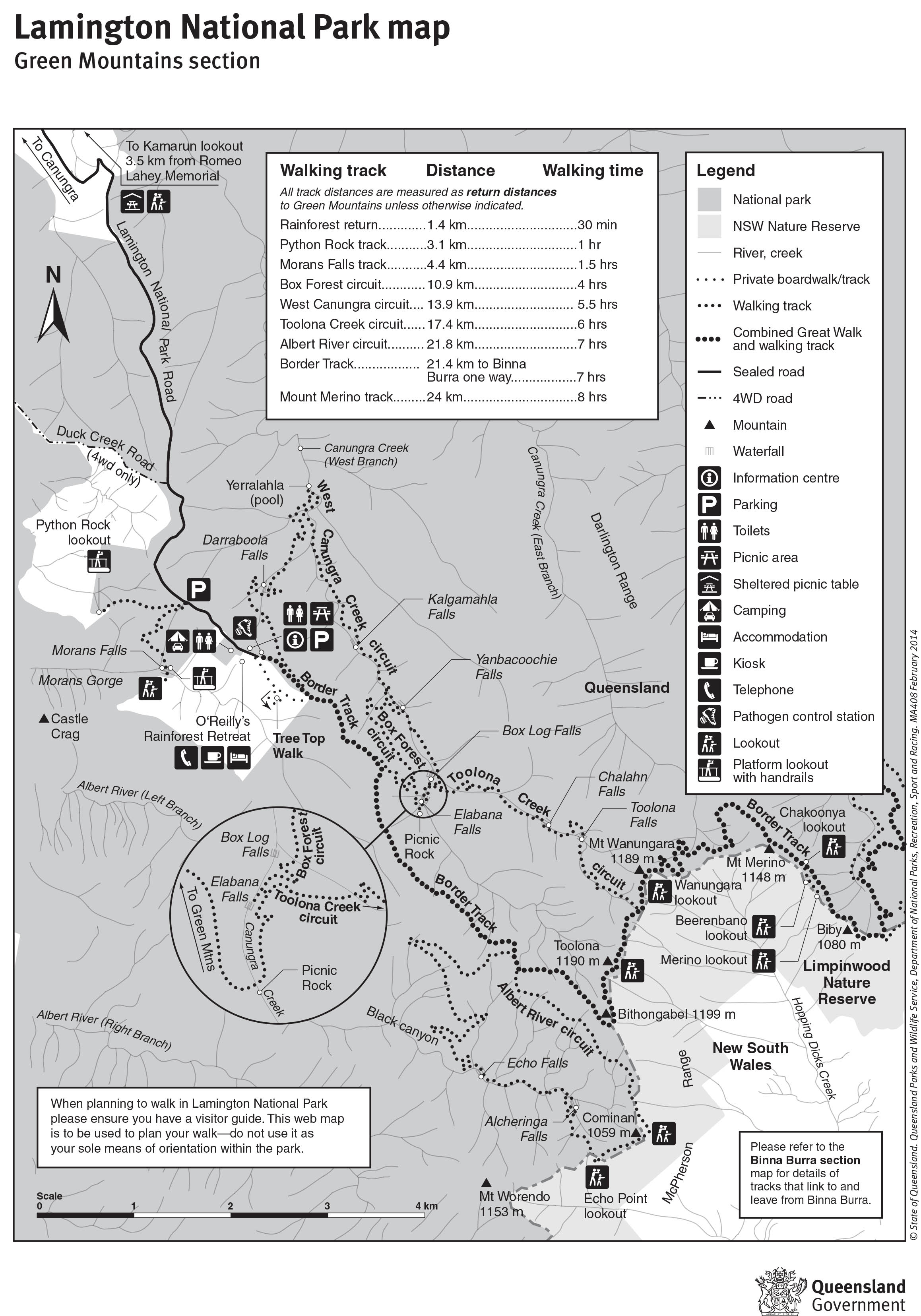
Map is owned by and used with courtesy of Queensland Government. Please visit that site for more detailed information on hiking in this region.
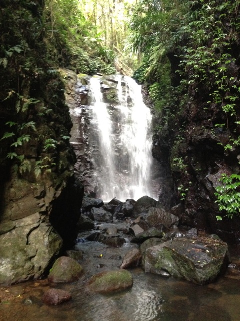
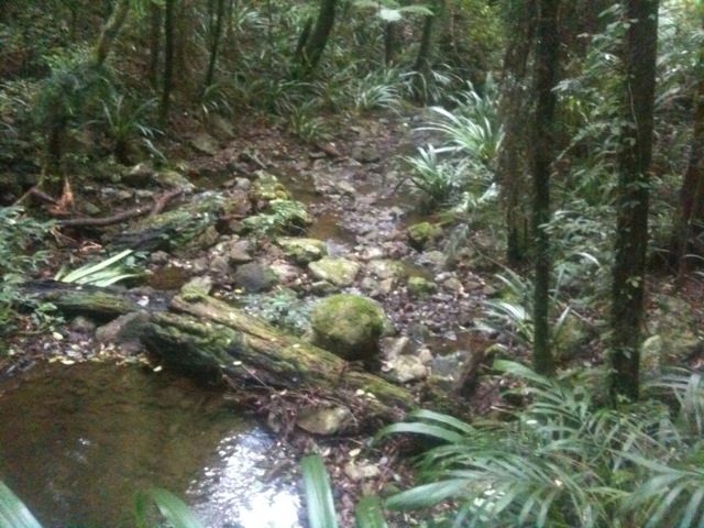
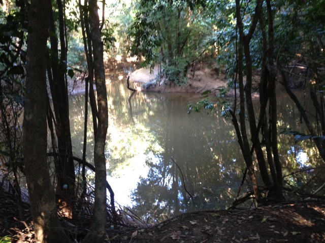
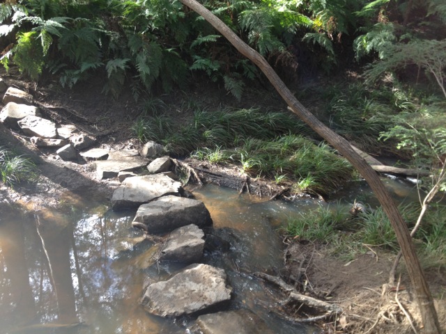
There are two short tracks in the tiny Jowarra Section of the Mooloolah River National Park and together they are only 1.5km long. They are both only class 2 with concrete tracks and no climbing at all. It was a cool morning when we arrived and much of the beauty was in the mists that hung about trees. The two simple loops took little time to walk and before we knew it we were back in the car and off to Dularcha National Park.
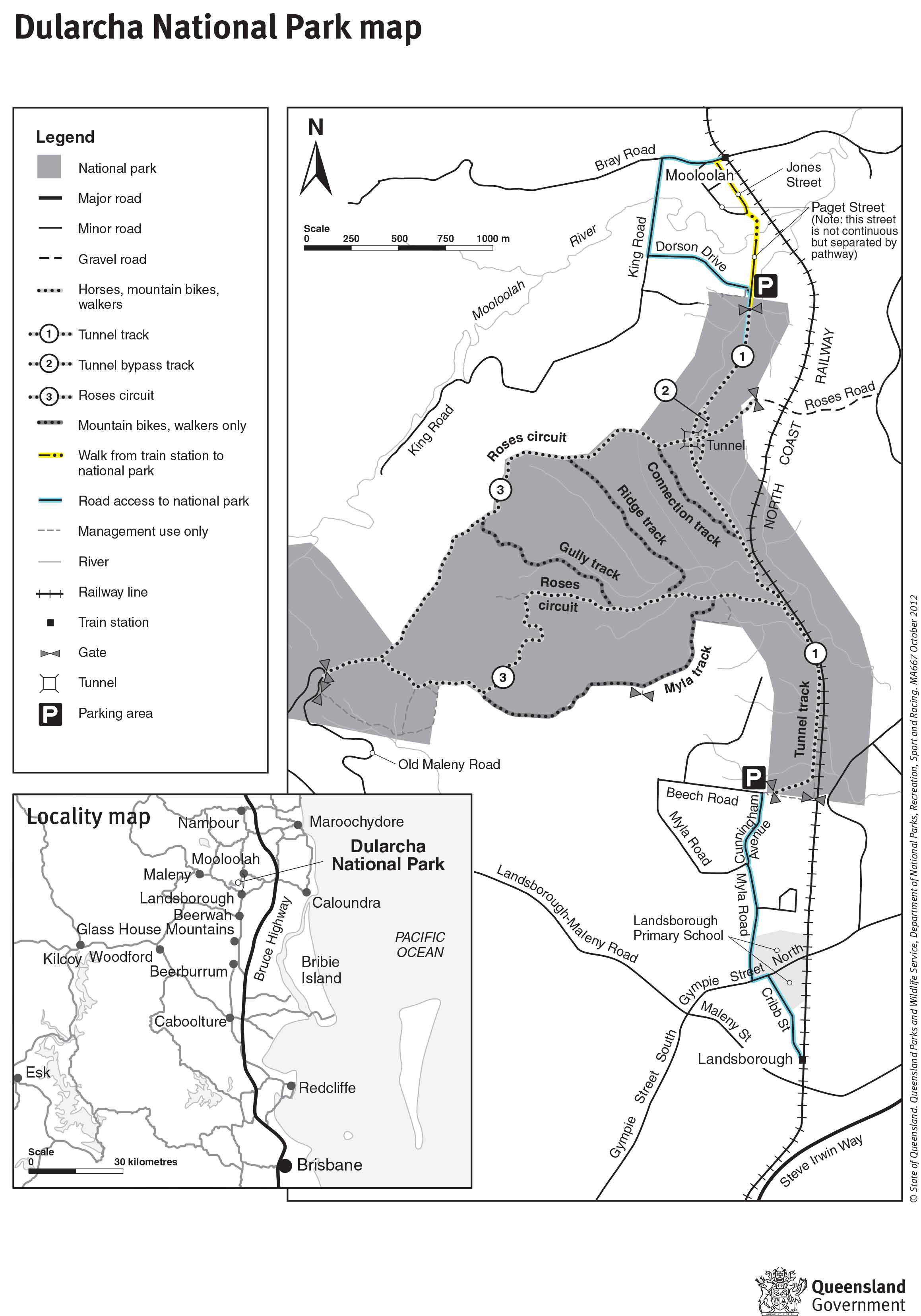
Dularcha National Park – 4km
The main draw card for the Dularcha National Park is an old railway tunnel about half way along the trail.
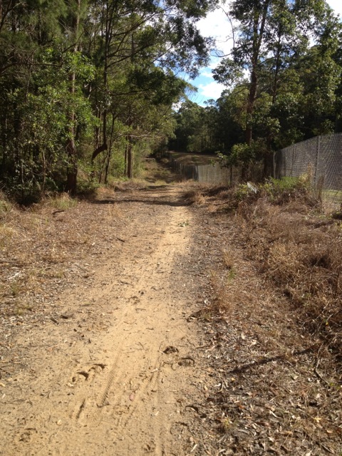
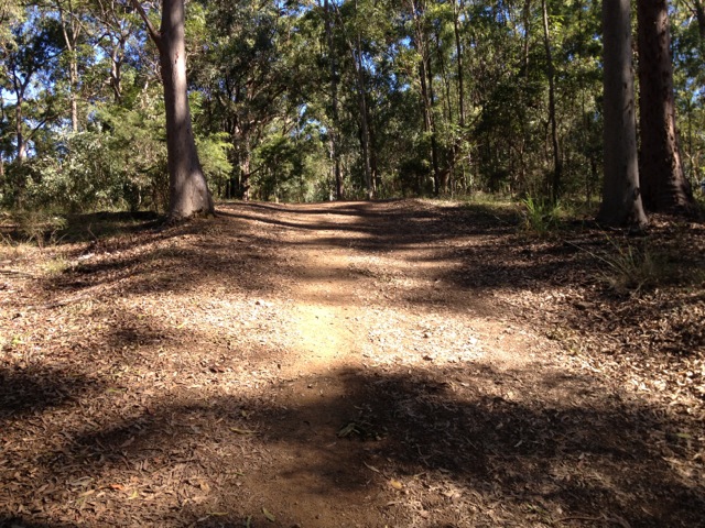
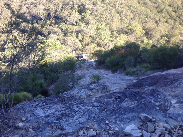
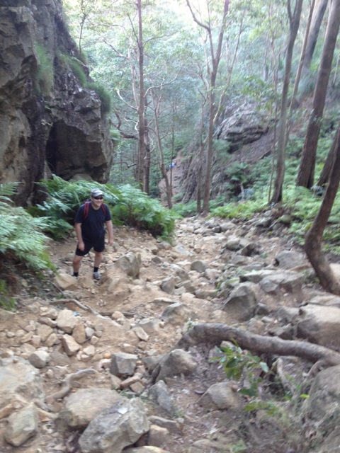
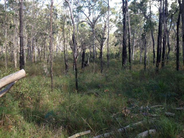
The trail is wide and easy to follow as it runs alongside the new railway tracks. Horses and cyclists regularly ride along the trail and while here we saw two different families on their bikes. This class 3 trail rose and fell slightly as we walked but remained fairly flat. While not a difficult walk I did break a sweat but more from the direct sunlight than how strenuous the trail was.
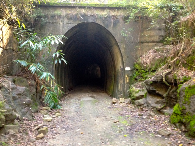
The train tunnel was pretty cool, although was only fairly short. There are reportedly micro bats living in this tunnel which I was keen to see, but we didn’t find any.
Map is owned by and used with courtesy of Queensland Government. Please visit that site for more detailed information on hiking in this region.
The track is linear and after 2km you’re required to walk back along the same trail to the beginning. On reaching the car, my companion waved the white flag, so I dropped him home and set off alone to do the last couple of more difficult tracks.
Tibrogargan Circuit and Trachyte Circuit – 7.3km
I climbed Mt Tibrogargan on a previous foray into the Glass House Mountains, but around the base of the mountain are a pair of tracks that when joined together are over 7km long.
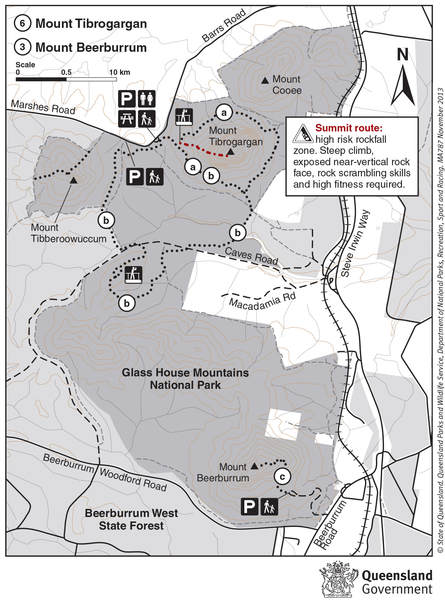
Map is owned by and used with courtesy of Queensland Government. Please visit that site for more detailed information on hiking in this region.
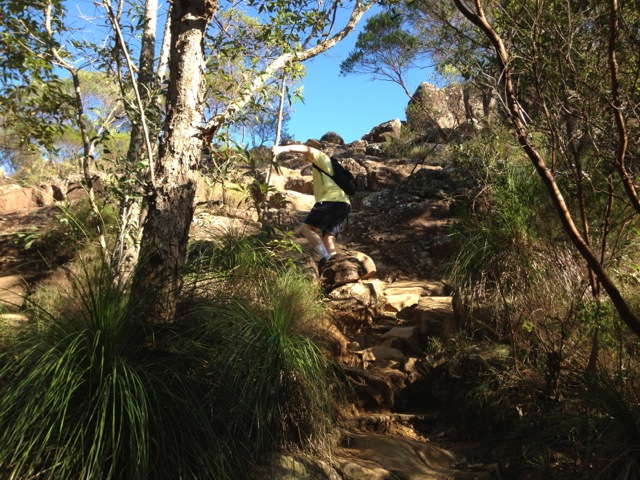
The Tibrogargan circuit (‘a’ on the above map) leads around the mountain to a T-junction where one branch heads back to the car park, the other is where Trachyte Circuit (‘b’ on the above map) begins, cutting across the valley towards Mt Tibberoowuccum to a lookout before returning to the car park. The trails are class 3 and class 4 respectively with a short climb to the lookout on the Trachyte Circuit.
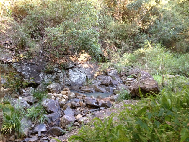
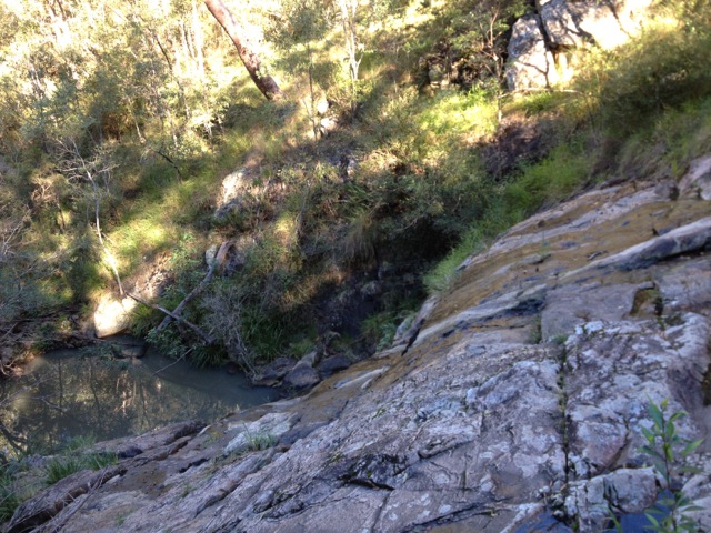
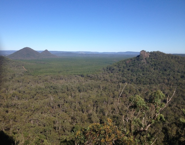
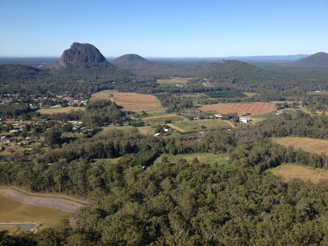
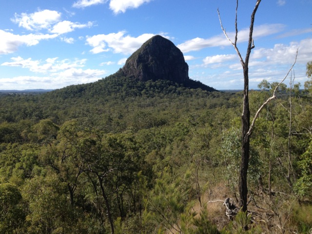
The views from the trail consist mainly of trees with the occasional creek crossing. I stopped in several places to peer through the trees at one of the neighbouring mountains, but most did not give clear enough views to take photos.
The most difficult part of the walk was the 100m section up to a Tibrogargan Circuit, where I chatted to some English tourists about New Zealand.
The remainder of the track was fairly gentle and after a total of about an hour and a quarter I returned to the car park.
It was a good day of walks on Queensland’s Sunshine Coast and while I hadn’t planned any further walks in the Glass House Mountains National Park, my hiking group had other ideas. In a month they plan to climb the Tunbubudla Twins, a pair of small peaks at the southern end of the National Park.
Next I head to The Cougals for something more difficult hard to dig my teeth – or feet – into.
The Lone Trail Wanderer.