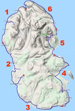
In late June 2019, I undertook a 6-day coastal hike around the Isle of Arran, my namesake island. This 65 mile / 105 km hike is a circuit of the island starting from the northernmost village and heading inland on several occasions. The weather was scheduled to be amazing with little rain.
Back to Part 2
Day 5 – Brodick to Corrie – 7 mi / 11.5 km
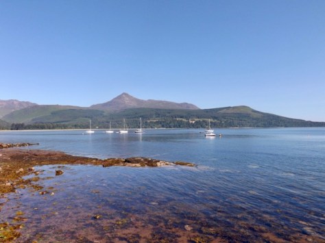
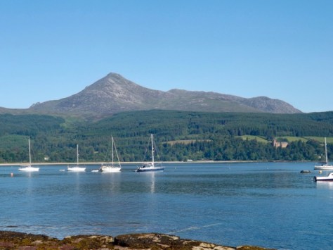
While today is the shortest day distance-wise, I will be climbing Goatfell with my pack, so it will be one of the more difficult days of the walk. Although as it is just under 900 metres, it should not take too much of the day. After my first full Scottish breakfast for this trip, I set out from the bunkhouse and through Brodick. As I walked, more people came out and began the long slow walk to the Fell.
The path led around the beach with some sand walking as I went. The Brodick castle standing prominent in the trees off to one side.
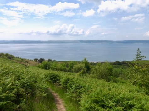
The trail around the bay and up into the trees with a mix of short steep areas and slow gliding climbs. With my march on, I passed several slower climbers. While the trees offered respite from the sun, it also stopped the breeze, so the sweat came heavy. When I finally broke out of the tree line, the cool breeze in itself was worth the climb. I looked back for a view of Brodick.
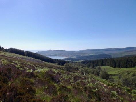
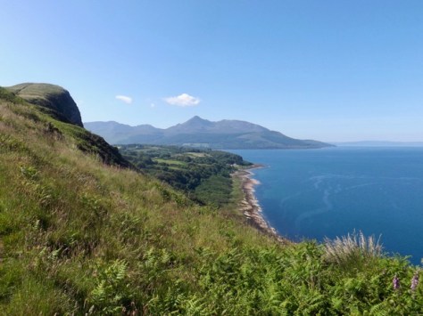
As people took breaks, I climbed on as the trail grew rockier and steeper. I crossed a wooden bridge and through a deer gate. I pushed on up the mountain, stopping for the occasional 10-second break before pushing on again. 10 seconds is enough to get the breath back before continuing on. I finally took a longer break where the trail reached a ridge that offered great views back the way I’d come, into the valley beyond and up the final 250 metres to the summit.

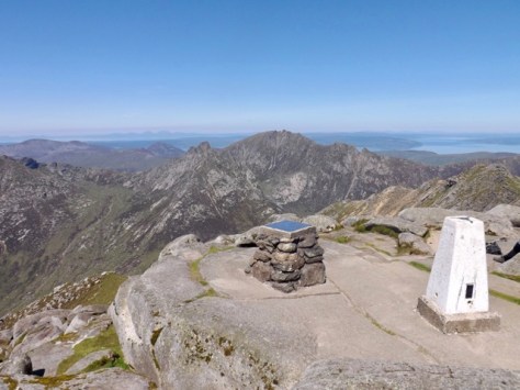
After 10 min I pushed on up the very steep trail with more 10 second breaks, one every 20m until I reached the summit in the glorious sunshine. The views in every direction were amazing and all who had reached the top relaxed and enjoyed the sun.
After about 30 minutes, I packed up and began the climb down. It didn’t take long to get to the junction, and I continued down the Corrie route. The way down was rockier, but I continued my charge down onto the plateau and across a stream.
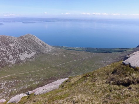
At the edge of the valley, it descended again on rocky steps eventually to a forest…
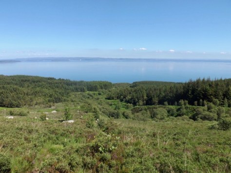
…along a dirt track…
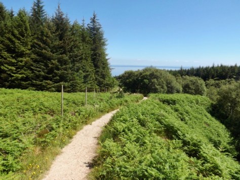
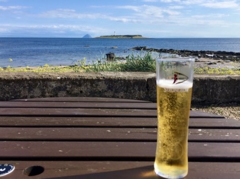
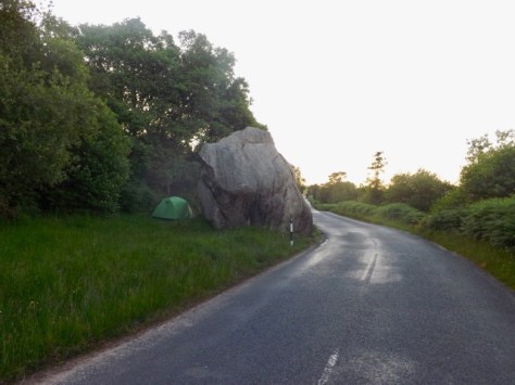
…to a road and down steeply to the main road. I found the first seat I could, got off my feet and out of my boots. After 10 minutes I headed a further few minutes to the local pub for a cider or three in the sun. I then headed on to Sannox where I would be staying the night, or so I thought. The hotel there was closed, and there were no other food options. I decided to walk the 2km back to Corrie for another cider and to wait for the hotel’s kitchen to open for dinner. After dinner, I headed along to the town hall and pitched my tent, where I had seen a bunch of people doing days earlier. It turns out I couldn’t camp there, so I headed back towards Sannox to a large boulder beside the road where I pitched a wild camp.
Day 6 – Corrie to Lochranza – 10 mi / 16.5 km
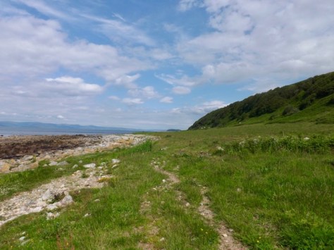
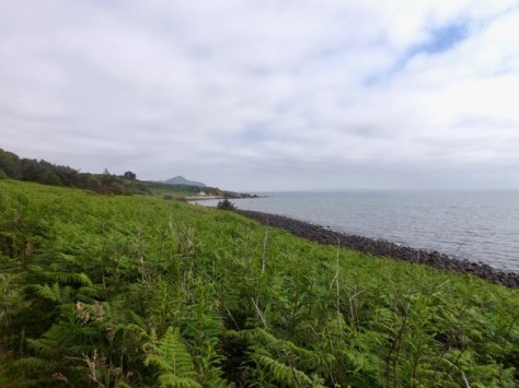
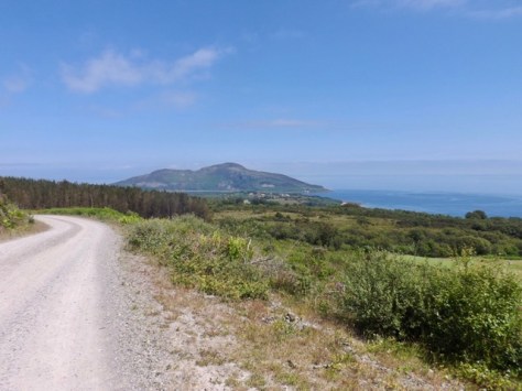
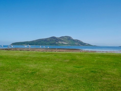
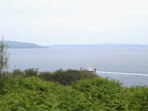
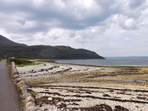
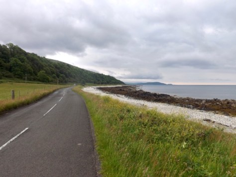
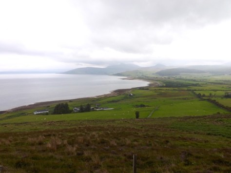
After my night of wild camping, I packed up and headed back to Corrie for breakfast. Today was the shortest day with little to see, but it is expected to be the hottest day of the year also. This is Scotland, so we’re talking 24ºC. I headed out of Corrie and back along the road to Sannox, past the site of my wild camp and on to the beach. I then walked at the top of the beach, along a trail of sand and then dry earth.
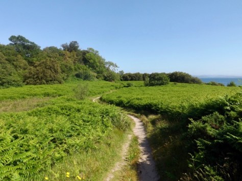
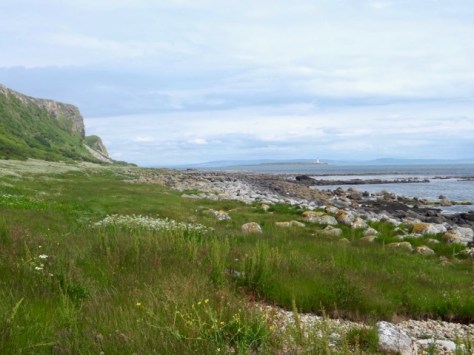
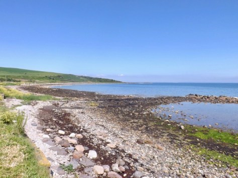
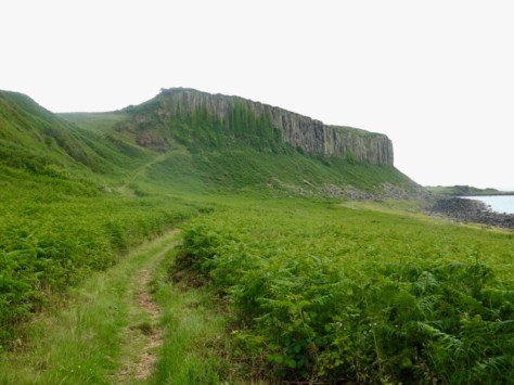
I walked on as the heat increased along with the wind, through a wooded area until I came to the Sannox Burn flowing out to sea. I didn’t see the point of walking a 400m inland and a 300m back when I could just cross on stepping stones. On the other side, I followed a sandy trail past some cliffs.
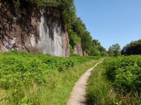
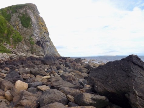
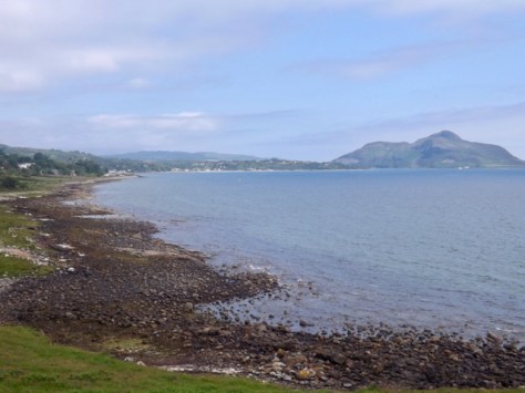
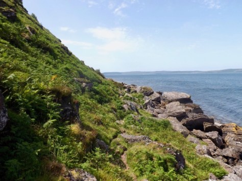
On the other side, I followed two women for more than 2km along a rocky trail until it reached a place called quite descriptively “fallen rocks”. Giant rocks had fallen from the ridge a few years back.
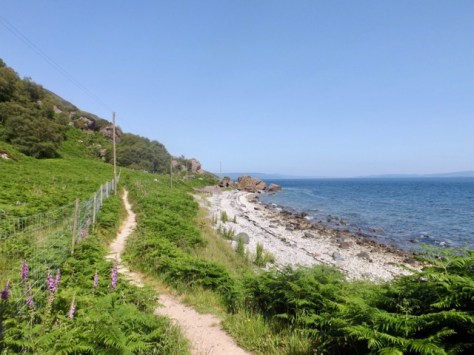
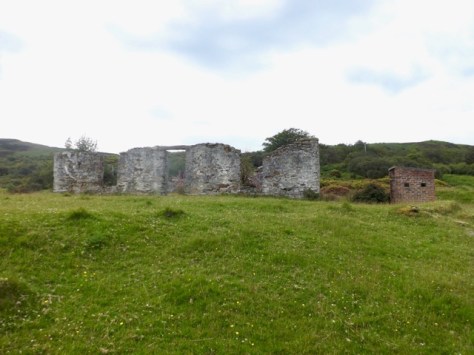
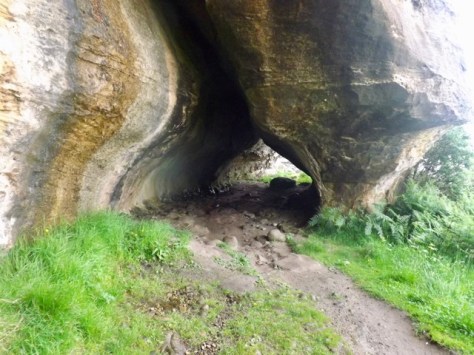
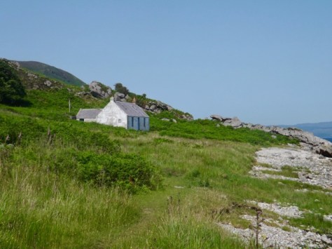
I passed the girls as the trail became more defined, and for the next 3 km, I followed it until it came to Laggan cottage where I popped inside to have a brief look around.
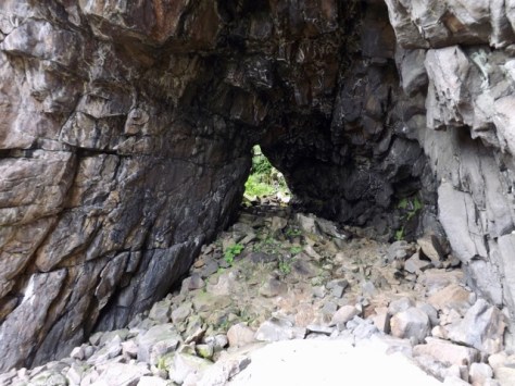
The trail became more rocky and rugged for much of the rest of the trail except for a 500m stretch of beach called Fairy Dell. It passed a rock formation known as the Cock of Arran. It, apparently, once looked like a male chicken until its head fell off a year or two ago. Now it’s just a rock.
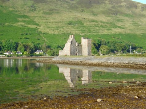
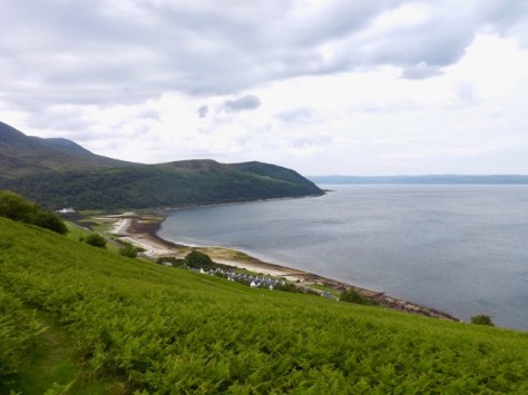
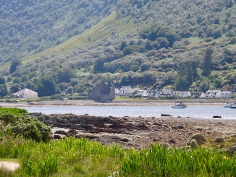
After a short time, I came around the coast, and Lochranza appeared. Then it was only 30 minutes across the tarmac road around the bay to the ruins of the Lochranza Castle and then on to the Sandwich Shack where I began the walk.
Overall
The Arran Coastal Way was a great six-day walk. Each day had its special elements all different from previous days. It worked out well for the weather, which likely added to the enjoyment.

I would definitely recommend this walk, while fairly easy, is still enjoyable.
The Lone Trail Wanderer.