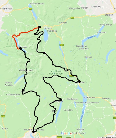
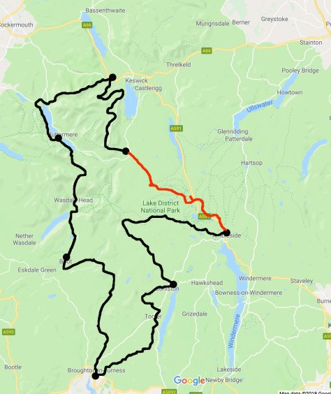
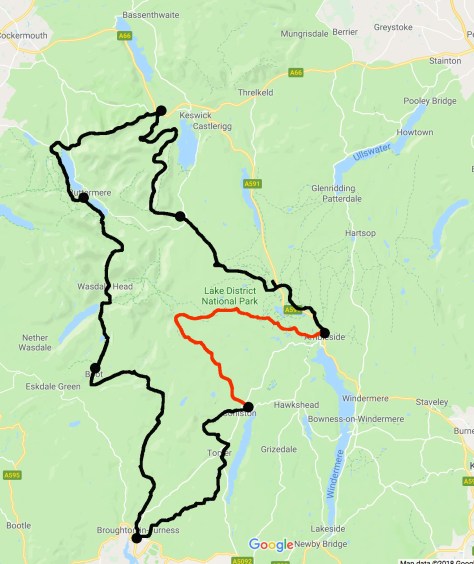
Day 7 – Coniston to Ambleside – 15 miles (24km) – 8 hours
Today is to be the longest day and has the highest climb of the hike, while it is 200m short of Snowdon, I have two further climbs today, plus a lot of road walking. But it is the final day of the hike, and I will be pushing it at the end.
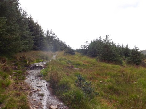
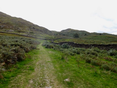
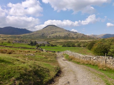
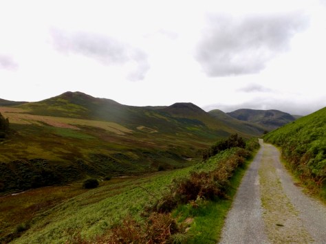
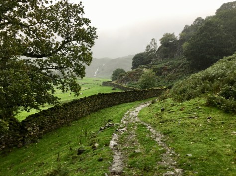
I set out from the hostel climbing a fairly steady road until it merged with a dirt one. This rose steadily into the mountains, past an old copper mine to where the YHA Coniston Coppermines. A remote hostel for those wanting to be out in nature. Beyond it, the next stage of my climb.
I cut up the hill on a vague trail which didn’t seem to match my OS map and GPS locator. But it eventually caught up, and I climbed steeply up the hill until I came to a prominent trail. It was about here that it decided to try to rain. I stopped and put on my pack cover, but the rain didn’t make it past a light drizzle and eventually stopped.
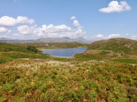
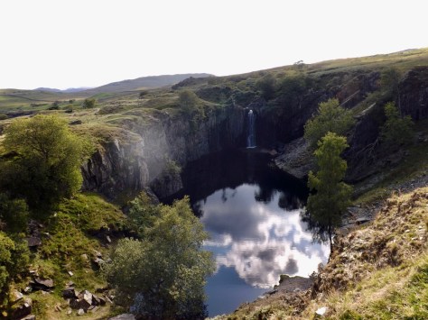
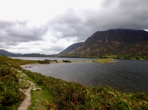
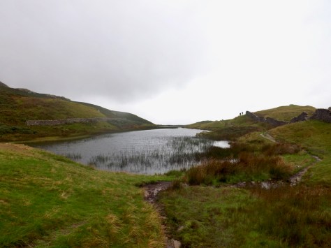
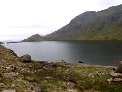
I made it to the Levers Water reservoir to find a group of female hikers studying a map. I joined in a discussion on the various crags around the basin. They were doing a circuit of the basin, while I was climbing to the top.
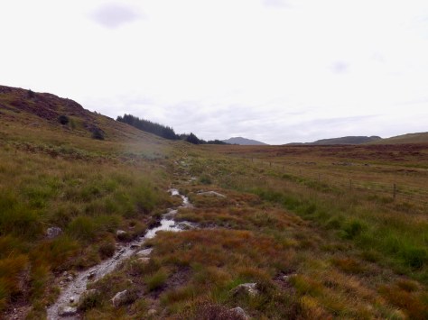
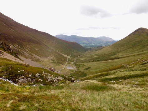
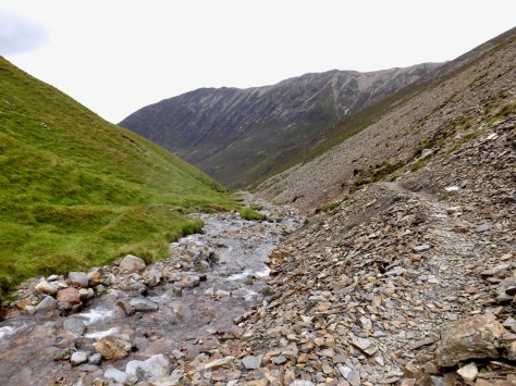
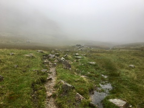
I pushed on past the reservoir and into boggy ground. The top of the valley was ahead of me, and I presumed it would be the top of my climb, boy was I wrong.
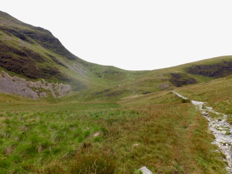
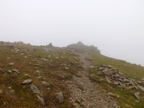
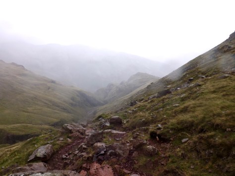
At the top of the valley, there is a large cairn. But this is not the top, the trail cuts steeply up the rocky face of Swirl How. To add to the fun, the mist had rolled in, and the drizzle continued. Thankful I had worn my long sleeve hiking shirt today, I turned down the sleeves and began the long climb up the mountain.
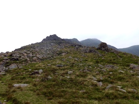
Each time I thought I had arrived at the top, the mountain continued higher, until I eventually could see the cairn at the top in the mist. I climbed on, but as it was cold and I couldn’t see much at the top, I didn’t hang around.
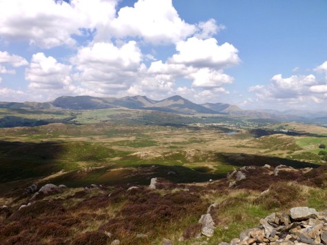
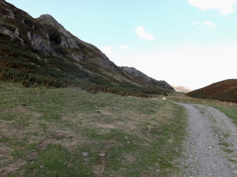
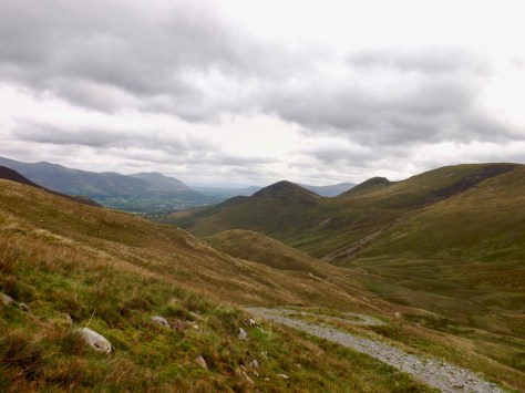
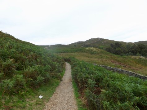
The trail cut around to the north, dipping and climbing past the Great Carrs, Little Carrs, Hell Gill Pike and several crags as it slowly made its way down over the course of three kilometres.
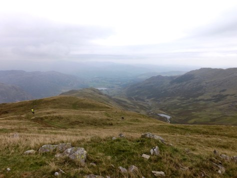
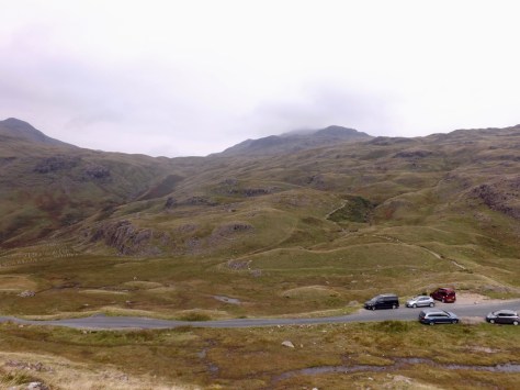
Once I could see the bottom point of the mountain – where the cars are – I realised that my next climb was right across the road. It was a little chilly, and the wind had a slight bite to it. But I found a sheltered rock and sat to eat my lunch.
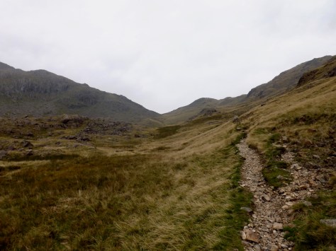
The climb up to Red Tarn was easy, although I am not sure where the name came from. Perhaps the mist and rain hid some redness?

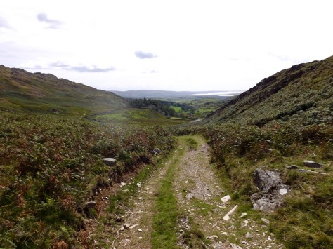
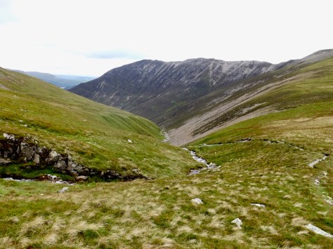
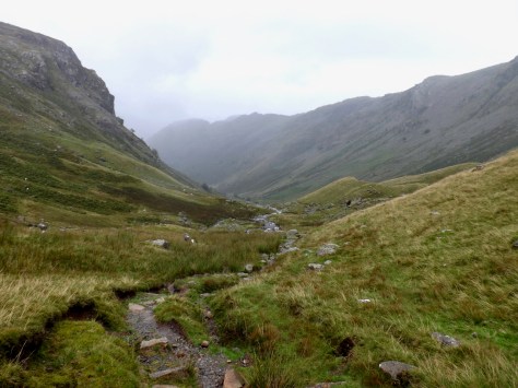
While the climb up to Red Tarn was easy, the climb down the other side was not so fun. For a start, it was wet and rocky, but it seemed to go on forever. Descending is hard on the knees, and by the time I got to the bottom, I was hurting quite a lot.
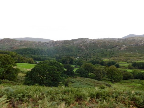
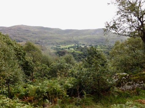
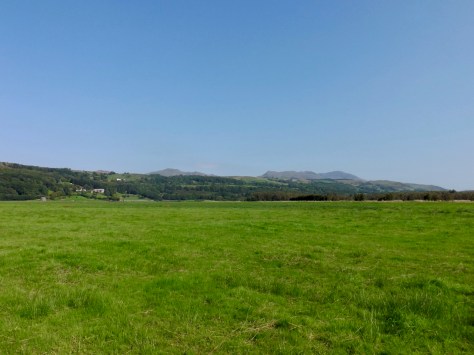
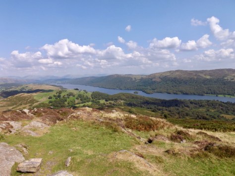
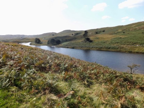
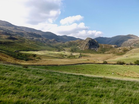
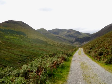
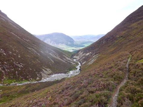
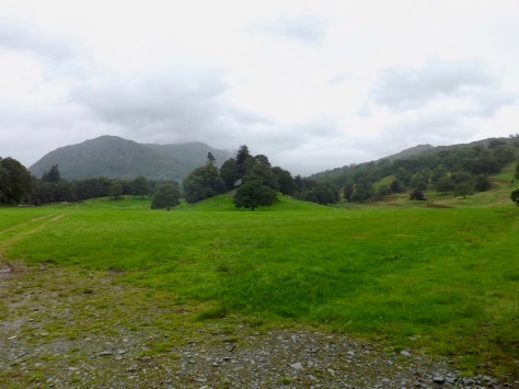
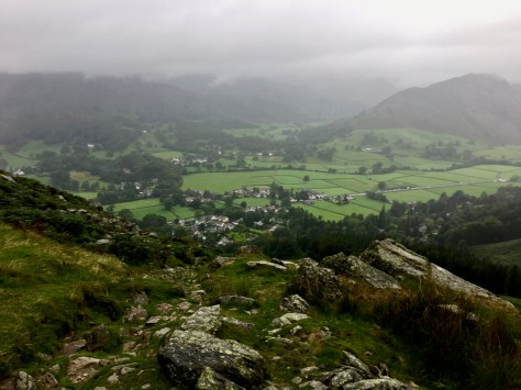
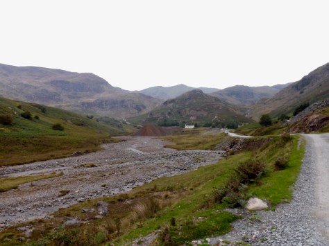
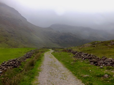
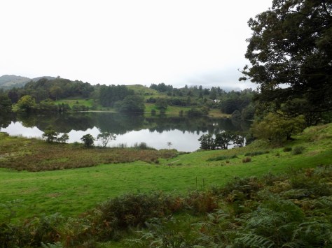
By the time I reached the valley, the mist had moved enough to take a good photo. For the next 3 kilometres, I walked along a flat valley on a stone road. The road continued for some time through the middle of the valley until eventually coming to a farmstead where it met a real road.
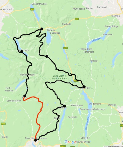
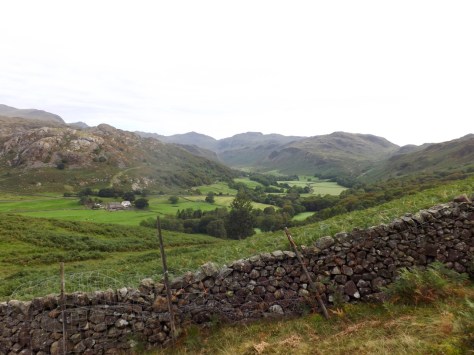
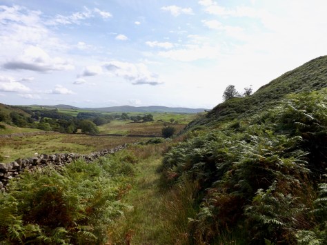
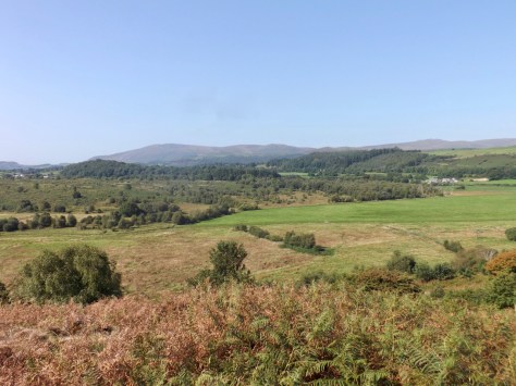
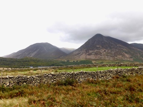
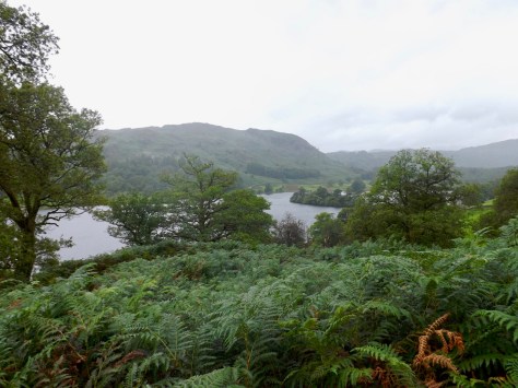
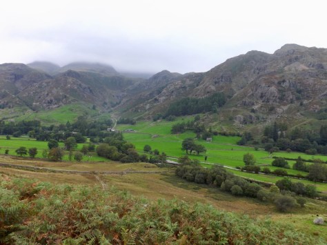
I followed the trail to the left and over a bridge. It led into a paddock along the river where I walked for a kilometre to a pub where I took the opportunity to stop for a cider. The trail then merged with the Cumbria Way and made its way up the hill a little. I paused and looked back down to the Inn in a valley with the mountains behind it.
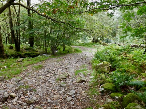
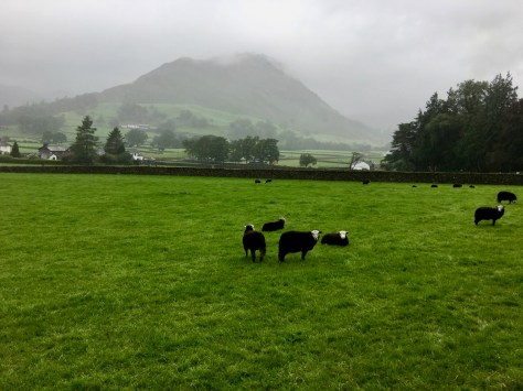
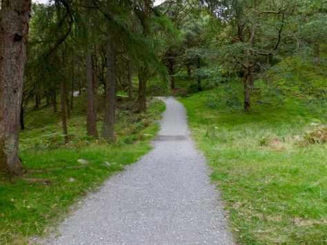
I then followed a quiet road behind many of the farms and quarries for several miles through the forest. This area was quiet, and I only passed one couple as I walked.
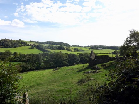
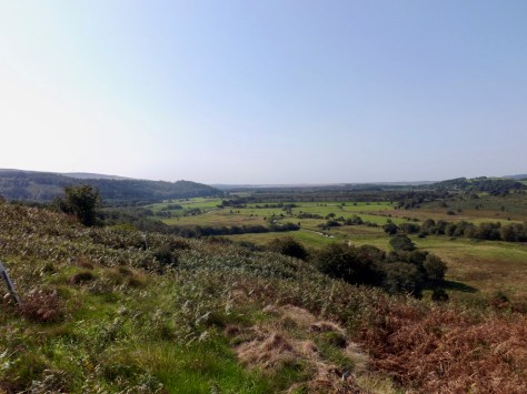
Eventually, I made it to a major road and then on through the town of Elterwater and up to another major highway on the other side. I then crossed several fields and walkways until I came around the back of Loughrigg Tarn to a caravan site and beyond.
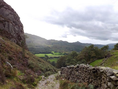
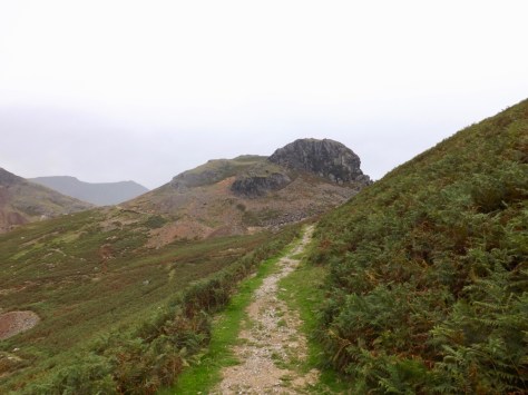
Finally, I climbed beneath Ivy Crag, my last climb of the hike and the final Fell. The trail led only 500 metres across until it came down onto farm roads.
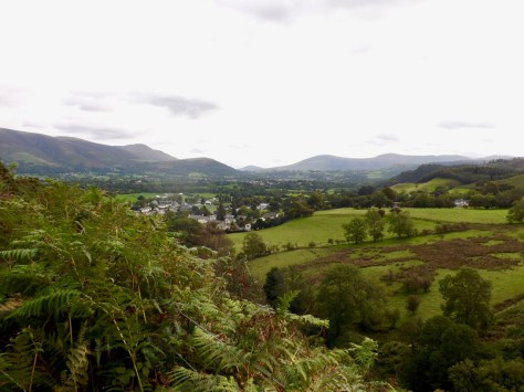
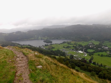
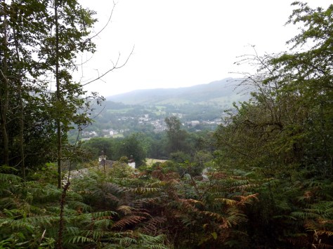
From there, I got a good view down into Ambleside.
For the next 2 kilometres, I walked down farm roads onto more distinct roads and finally into the town itself. Then it was the last kilometre from Ambleside to the YHA I had left 7 days earlier.
Overall, the 7-day, 90-mile loop that is the Innway of the English Lake District has been by one of the better hikes I have walked in the UK. Finally, I found the right balance of nature and civilisation. There is much beauty in the region, days where I just looked back, and all I could see was nature.
Next time I push further north and into Scotland to find some true wild country in these Isles, but that won’t be until the next hiking season, next year.
Until then,
The Lone Trail Wanderer.