Mt Coot-tha is the tallest ‘mountain’ in Brisbane and is popular with tourists as its top lookout gives great views of the city and surrounding land.
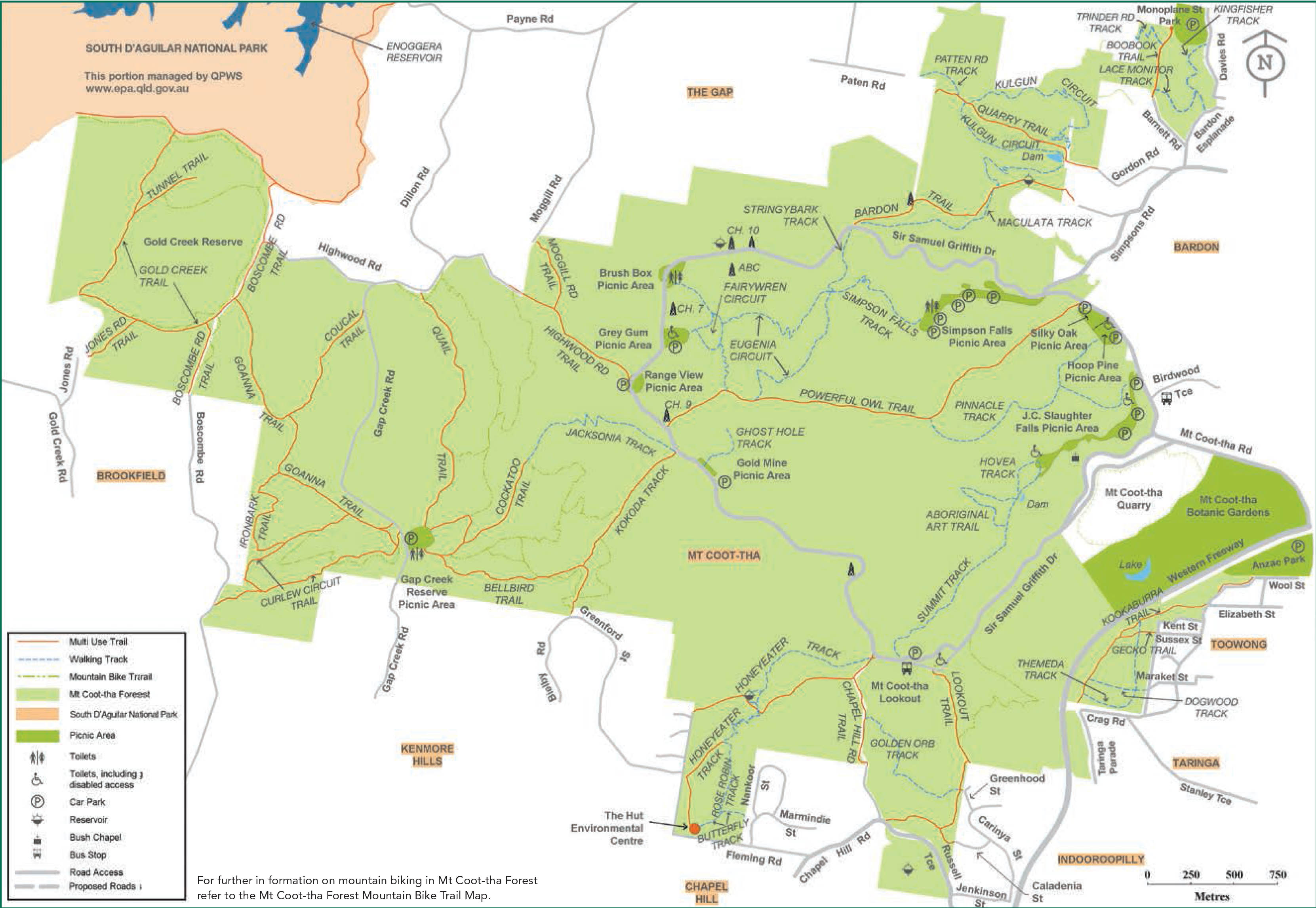
Map is owned by and used with courtesy of Brisbane City Council. Please visit that site for more detailed information on walking in this region.
I’ve been to the lookout numerous times and have walked the lookout trail a couple of times also. On the northern slopes of Mt Coot-tha there are several less popular and less scenic walks I decided to explore.
Powerful Owl Track – 2.8km

Powerful Owl Trail is a short track that climbs the north side of Mt Coot-tha. Initially I was expecting a fairly straightforward walk in the woods, but shortly after beginning I got quite a surprise. Not far after the beginning the trail turns quickly upwards and climbs fairly steeply. It certainly gets your muscles working and my calves felt it when I arrived at the top of the ridge.
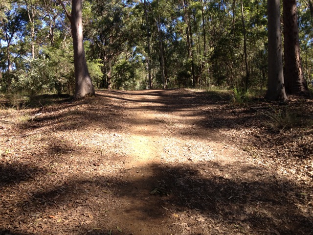
At the top of the ridge I followed the trail around to the left, through the forest until it began to descend down mud and roots steps. After the steady downhill it didn’t take me long to emerge at a grassy reserve just around from the car park.

Overall a good short walk although beyond the trees, not much to look at.
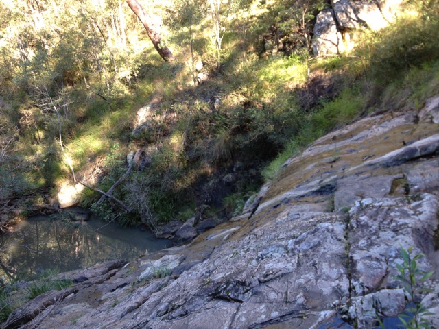
Simpson Falls and Eugenia Circuit – 4.1km
Beyond the Lookout Walk, the Simpson Falls circuit is one of the more popular on Mt Coot-tha. It’s for this reason the trail leading to the falls is well presented and designed for casual walkers. The trail climbs in switchbacks up the north-east side of the Mt Coot-tha with plentiful steps.
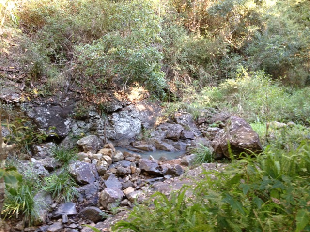
Simpson Falls is a quaint little rocky area that during a wetter season would likely be more than just a trickle with small rock pools at the top and bottom of the rocky outcrop. This was to be expected as it had been plentifully dry around the time I walked here.

The Eugenia Circuit continues another 2.8km up the mountain from the Simpson Falls. The path turns rockier and is less walked, crossing the stream twice on stepping-stones. At a couple of points on the track I could make out suburbia over the trees, but no grand views.
There was one other track I did not make it to – the Kokoda Trail, named after one of the men who walked the actual Kokoda trail.
The Lone Trail Wanderer.
