
Eighty-six kilometres south of Nelson in the Nelson Lakes regions, I walked the Travers Sabine Angelus Circuit. Click for Travers Sabine Angelus Circuit, Nelson Lakes – New Zealand – Part 1
Day 4 – West Sabine Hut to Sabine Hut – 14.2km – 6 hours
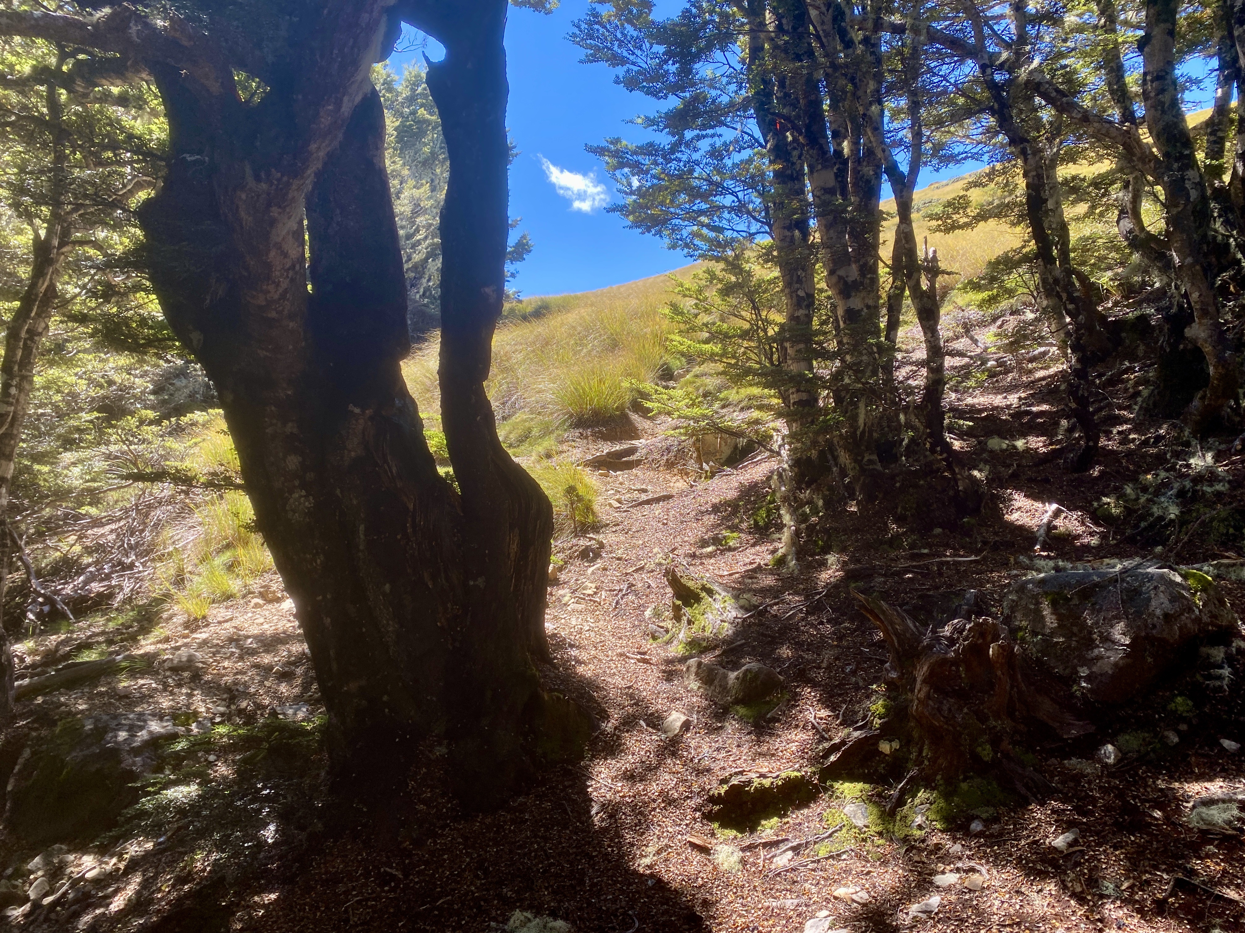
After making the decision to skip the day walk to Blue Lake, I headed out this morning and made for Lake Rotoroa and the Sabine Hut. A hundred metres from the West Sabine hut I cross the wide river on a suspension bridge and followed it into the mossy forest.

Today’s walk is six or so hours through the forest, but thankfully, unlike the previous day, there is no major climbs or descents, just a gentle downhill for most of the day.

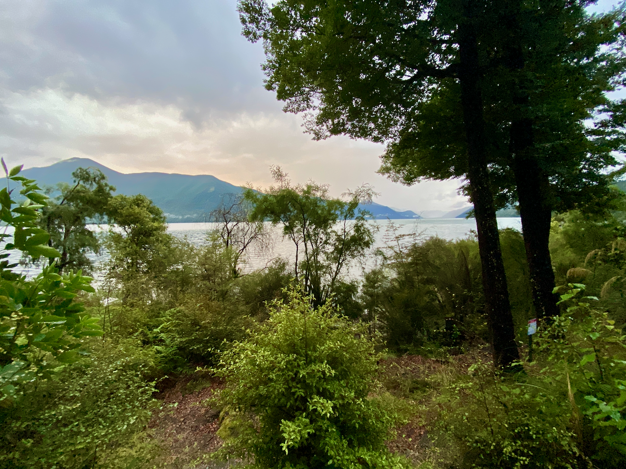
And yes, with the exception of the 2 hours I spent crossing the saddle yesterday, this is my fourth full day in the forest. But even the forest itself seemed to feel my frustration and came out to remind me all was fine.

There were plenty of opportunity views back along the river…

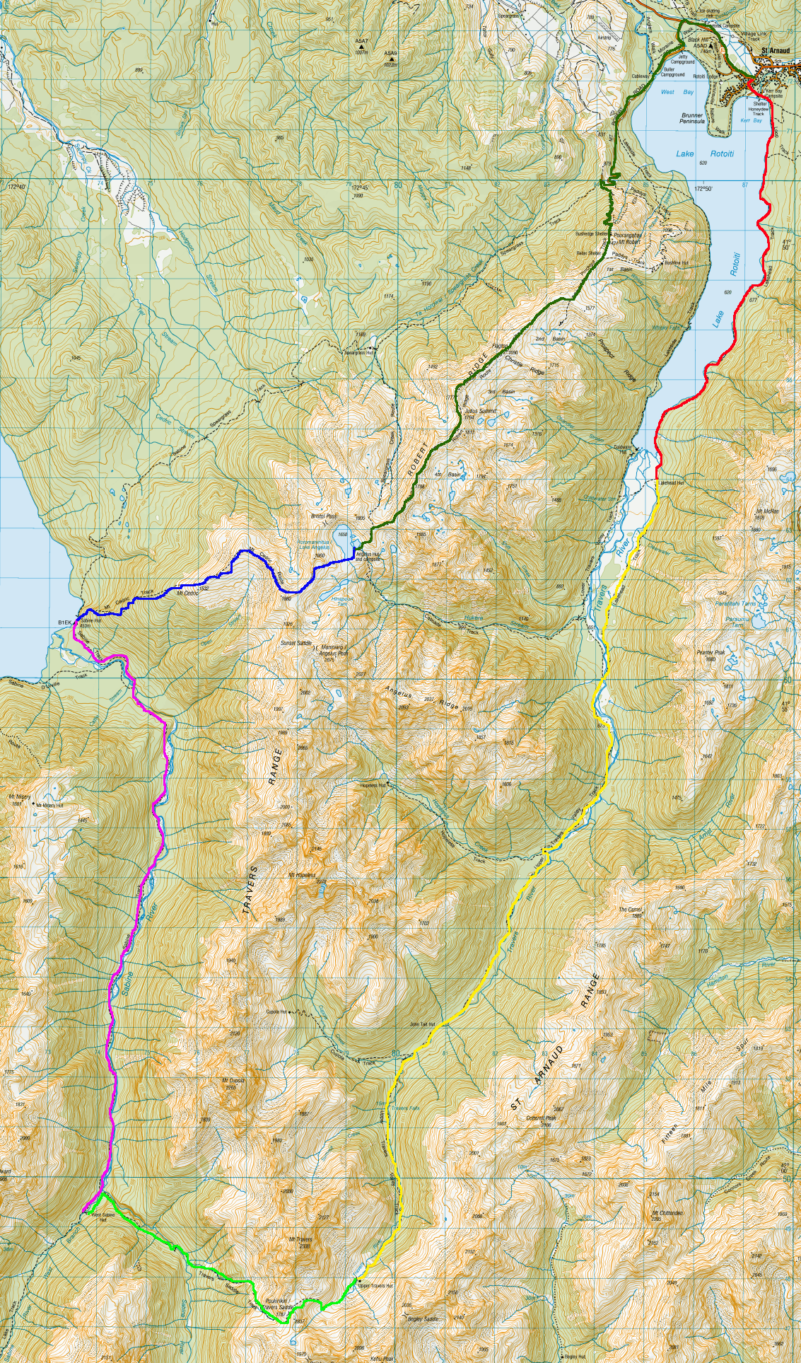
And the occasional open grassy areas to cross, to break up the constant forest. This one led onto the only real climb of the day, passing over a knoll to get the heart pumping a little. At the end of the knoll, I met an exhausted looking couple who were carrying far too much. They’d only started an hour earlier after getting a water taxi across the lake.
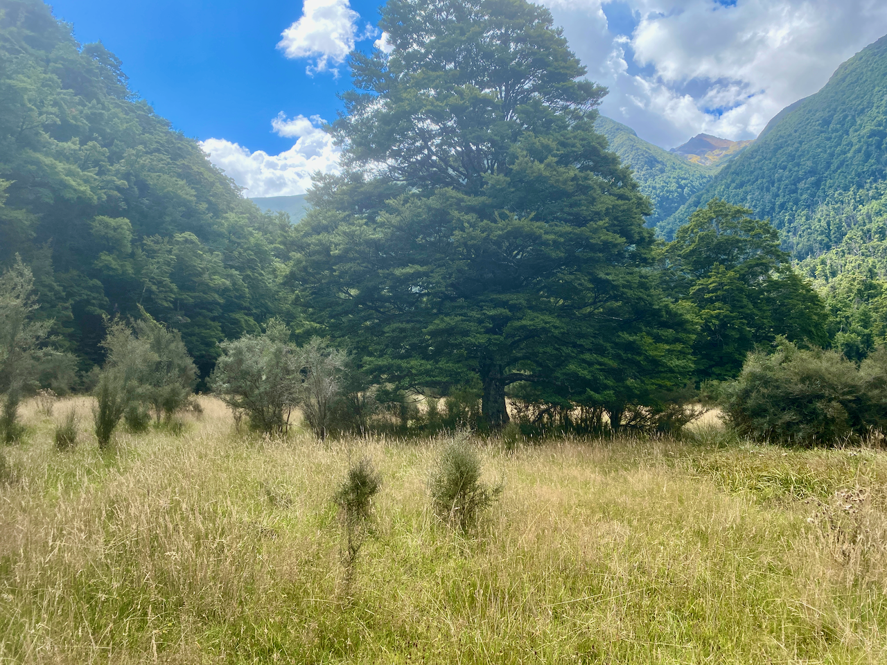
With only a couple of kilometres left, I crossed the river and made my way through the flat forest waiting for the lake to appear. Then, for the first time this hike, the weather turned and a very light rain began. It continued until I finally arrived at the lake and then shortly after to the hut. On arrival, the sky opened up and bucketed down with lighting and thunder for much of the evening. About midway, a rather wet walker arrived, no doubt thankful to be out of the rain.
Day 5 – Sabine Hut to Angelus Hut 7.2km – 6 hours
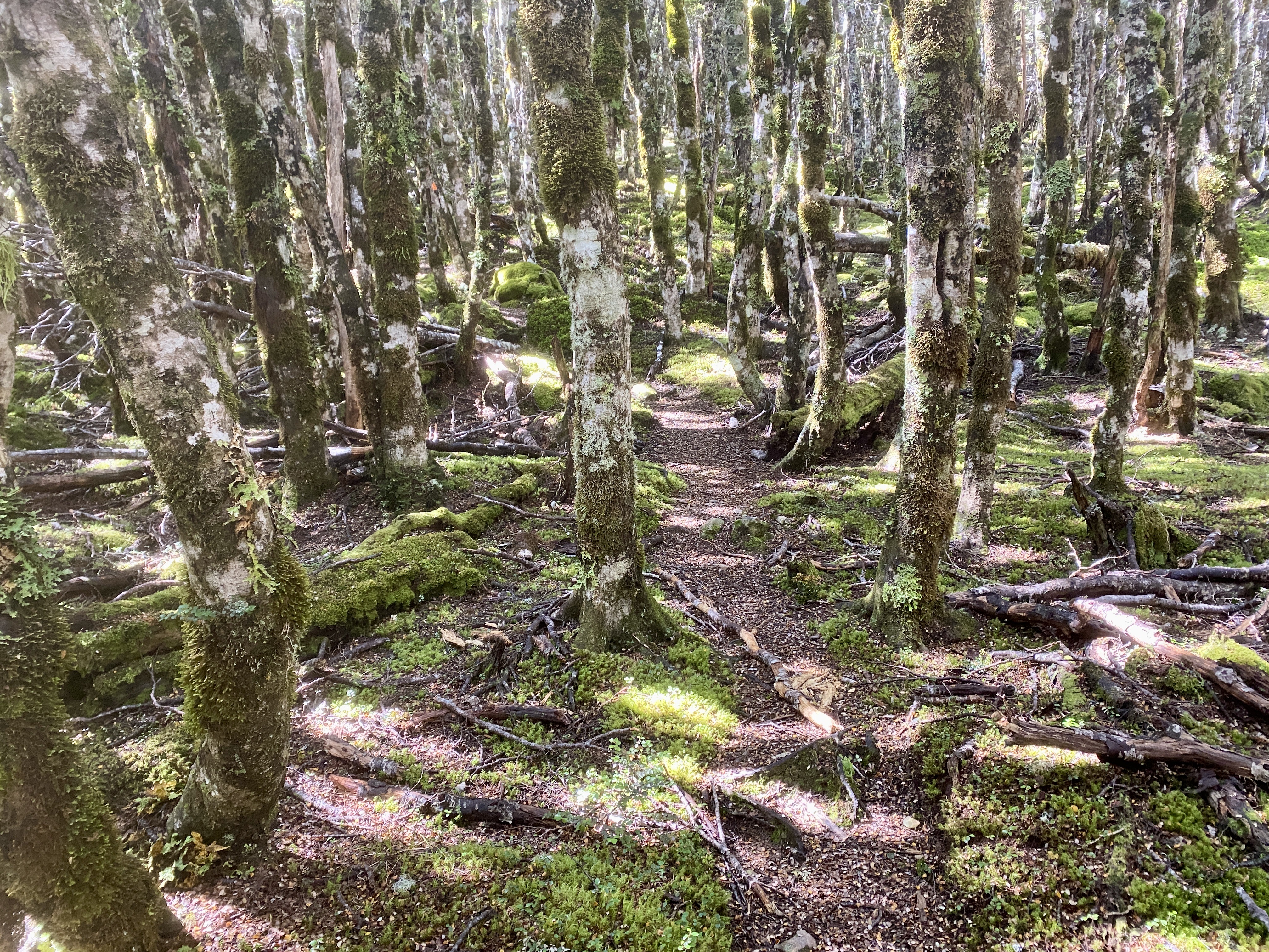
After the rain of the previous evening, I was concerned that the steep first route that left from beside the hut would be overly wet and slippery, but I went anyway. The initial climb was very steep and foot placement was pertinent, carefully placed on dirt with a slight covering, no rocks or roots unless I could get a good foot holding.

It was slow work, and I used the trees where I could. After the first hour, the steepness eased with easier paths, but I remained fastidious, ever watching my steps. The climb grew easier, but the forest must have held a fairly low temperature, as I neither felt tired nor even broke a sweat as I climbed. This is odd, as I am an easy sweater while walking under weight. The trail grew steeper in hour three, only to round off and become flatter once again.
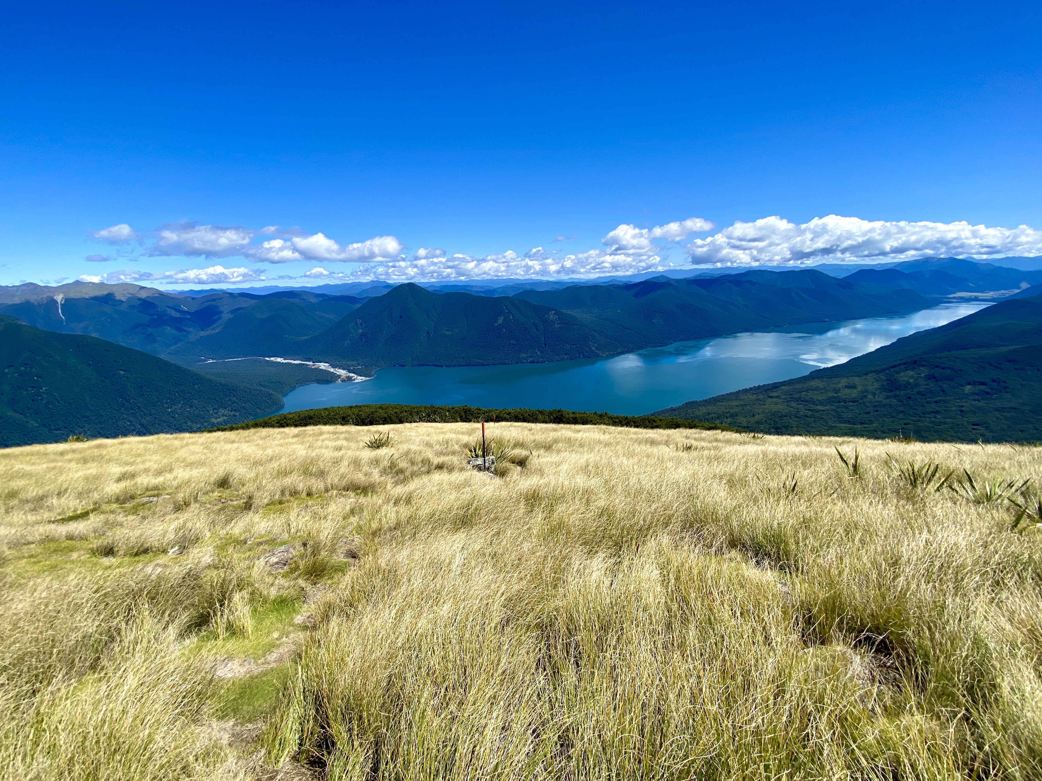
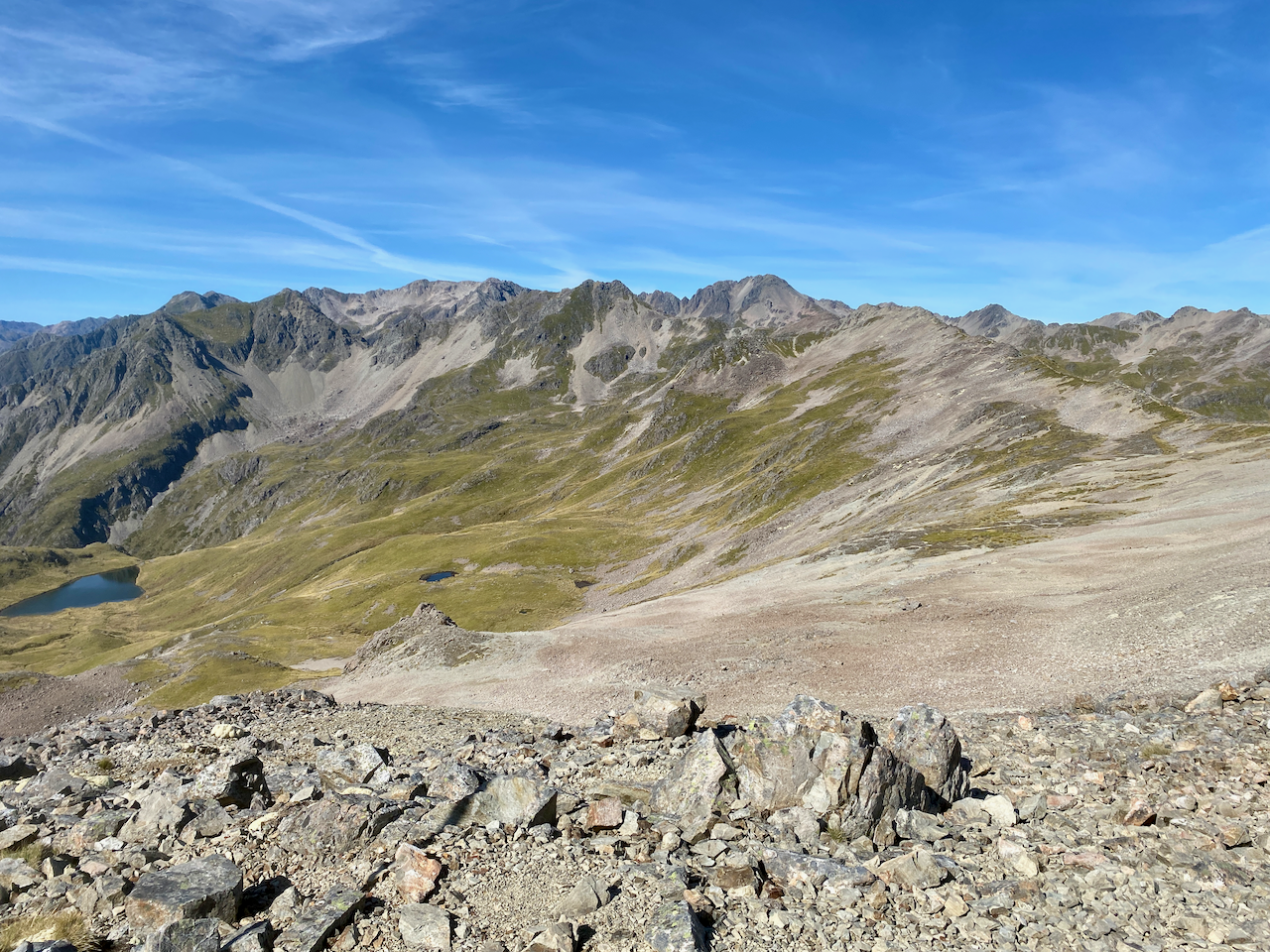
The Sabine hut is at 467m and at 1335m I emerged into a sunny Tussock covered rolling hilltop. I stopped just inside the forest to prepare for the open trail.
I climbed a further 200m in the glorious open sky to the summit of Mount Cedric and stopped for lunch. Below me lake Rotoroa stretched away while to the side mountains stood tall. Out of the shade of the trees the wind at this height was icy, so I put on my wind breaker.
A crown of mountains headed off to the right, and I saw that the Mount Cedric Track followed it, so after eating, I continued walking.

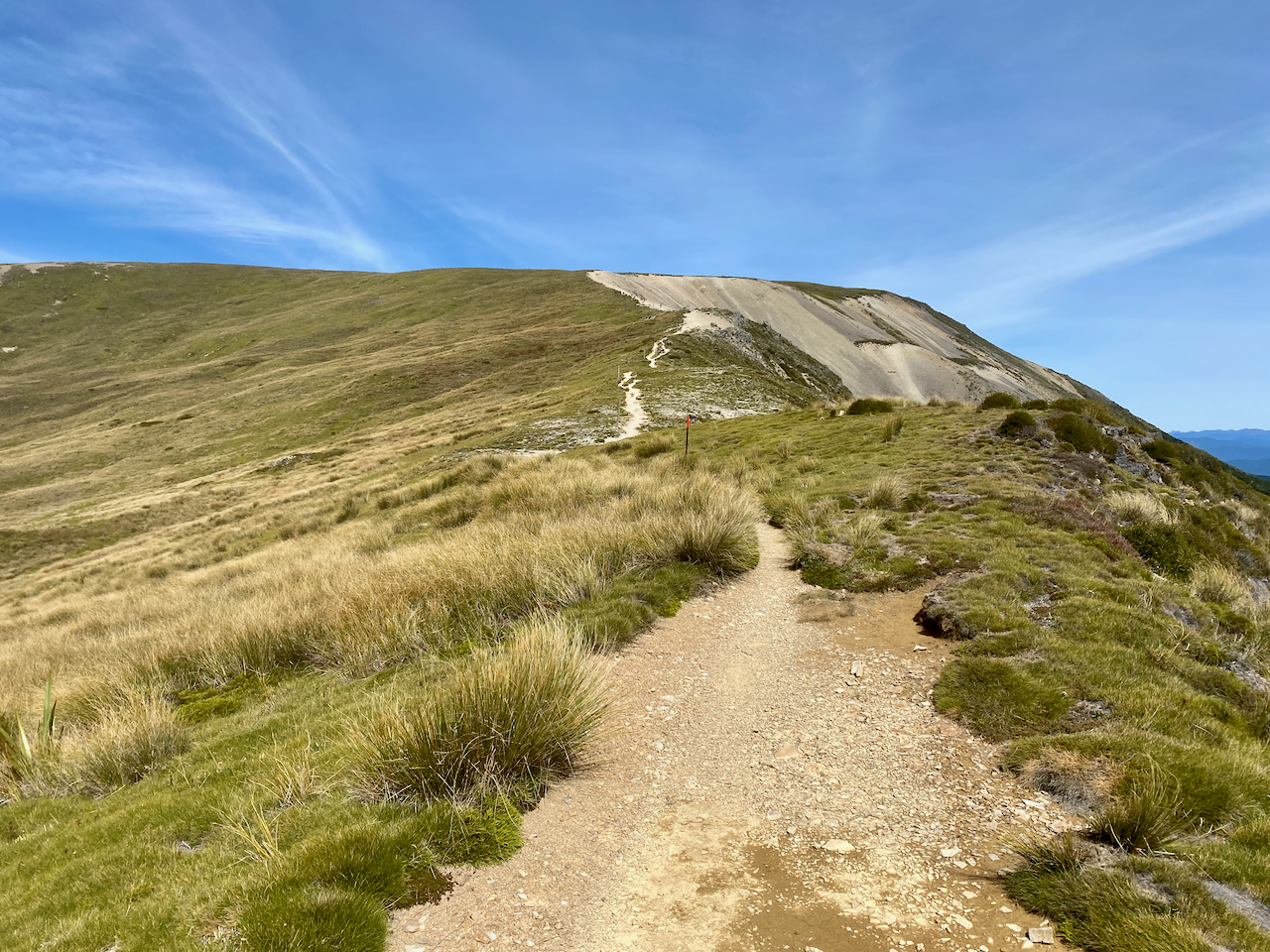
My climb, now in the open air, was glorious, and under the direct sunlight I began to sweat. The climb grew higher as I skirted around the rocky top of the crown and followed the ridge line off to the left, climbing even higher.

After being in the forest for four days, just being atop an open mountain ridge gave me a sense of enjoyment. The direct sun, the slight breeze, the rocky bliss and the sense of smallness among giants…
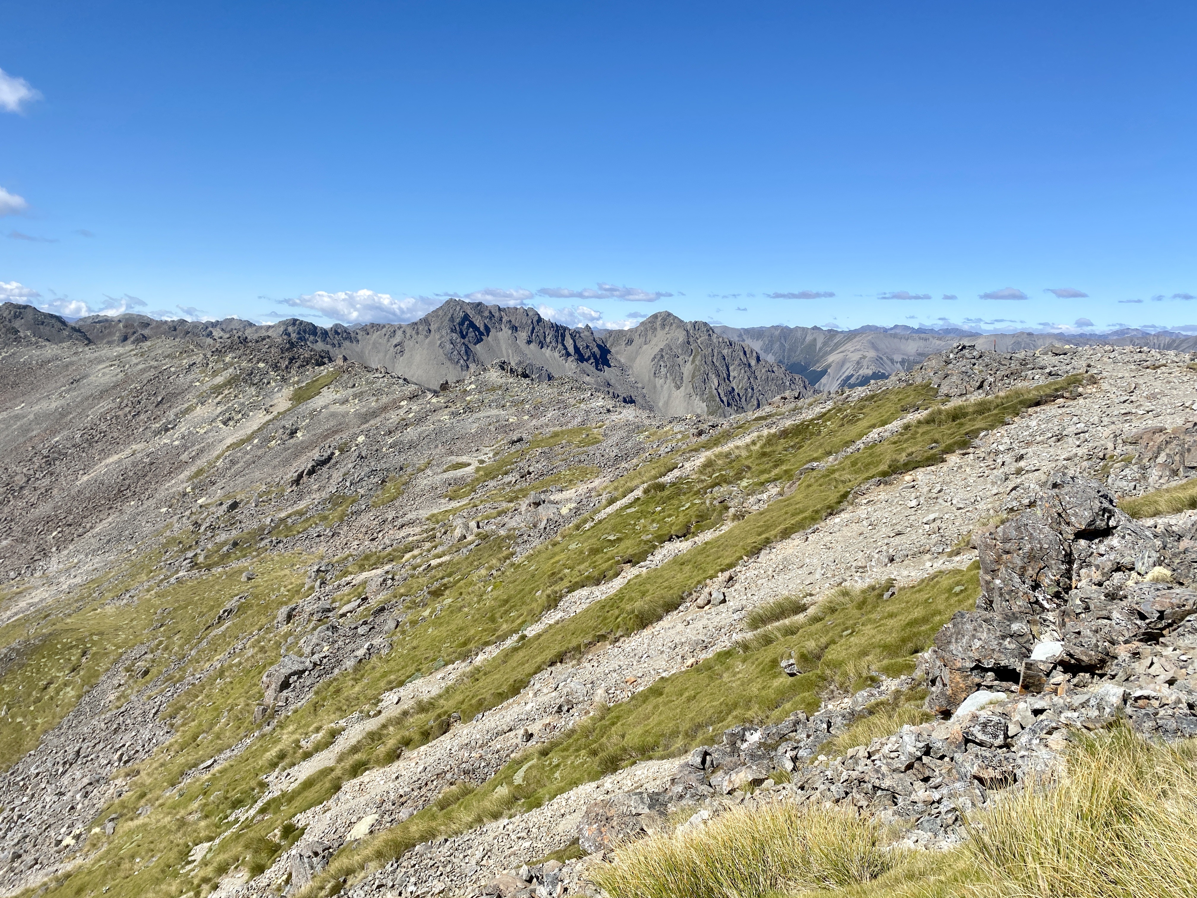
While there was a defined path, there was some rock hopping and thin somewhat precarious paths, but I always walk with caution on these paths. I got past and rounded the ridge line to look down onto the valley where Lake Angelus was supposed to be, but there was another smaller ridge in the way. Below me I could see the Hinapouri tarns instead.

I descended towards their smaller ridge with much rock hopping, which took some time, before I finally climbed down the slope to stand before Lake Angelus.

I climbed down to a flat tussock path, then around the lake to the Hut where, in the blissful sunshine, dropped my pack and chatted to some ladies on the front deck. Angelus hut turned out to be a very social hut with more people arriving through the afternoon.
Day 6 – Angelus Hut to St Arnaud – 18km – 5 hours
After my usual breakfast and packing regime, I set out across the tussock towards the ridge line behind the smaller two lakes in the basin, to the trail called the Robert Ridge Route. The climb affording good views back down the Lake Angelus basin as I climbed. The lake soon disappeared as I walked along the top of the ridge away from the hut.

As I climbed towards the Mt Julius Summit at near 1800m, I got a view down the valley to where I had crossed on the 2nd day of this adventure.

At Mt Julius Summit, I found a wide area where I could stop – wide in this case being 1.5 – 2m. I also found good 4G reception, so thought I would video call my parents at home in Auckland, to show them the view.
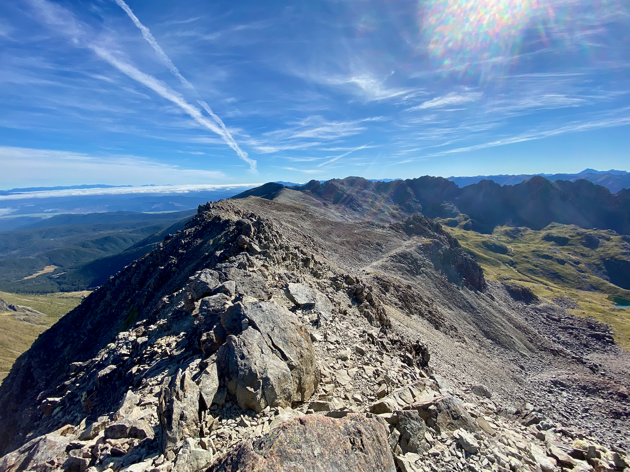
Afterwards, the trail cut across the side of the rocky ridges as it continued, before changing to the rounded hilltops with wide paths. There were some climbs, but nothing major, but all the time glorious views in all directions with the weather warm and minimally cloudy.
The route continued and I began to see walkers coming towards me, I climbed the last of the large round hilltops and stopped on some flat rocks for lunch.

After chatting with a couple of passersby, I headed off again along the ridge, this time slowly descending. The route continued down past a rest shelter likely build for day walkers, to the summit of Mount Robert, the final peak before my big descent out of the National Park.
I took a break at the top to chat to another climber and admire the view down on Lake Rotoiti.

The descent to the carpark was partially through the forest, but mostly in the open, growing steadily warmer as I got closer to the bottom. There are more than 22 switchbacks on the way down, and I find it handy to count then down. In my mind it helps as fast descents are not my knee’s favourites.

At the bottom, I set out along the road towards St Arnaud, a further 90 minutes along a dirt road which turned to a major highway. I had intended to camp 45 minutes from the end of the hike, but it was still early with plenty of daylight left, so I decided to crack out onto the road and thumb a lift back to Nelson, some 86km away. I made it getting two lifts and not having to walk too much.
Overall,
I should have taken more care in selecting a hike, as I found this circuit to be particularly frustrating. If I had walked the entire length as planned, but added the side trip to Blue Lake, it would have been six days in the forest, with only 2 hours in the alpine region crossing the Travers Sabine saddle. As I particularly dislike walking in the forest for anything longer than a day, I was thankful for the girl I walked partially with on day 2 and her suggestion to go to Lake Angelus instead. As these are my first long hikes in the NZ mountains, I will be more careful with my planning in the future.
Next, after a week or so giving my legs a break, I have a couple of walks in the North Island.
Until then,
The Lone Trail Wanderer
