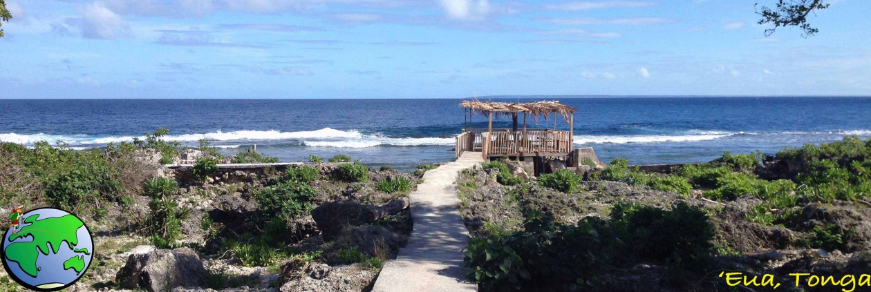
During the COVID pandemic, I chose to take a break from Europe and head to New Zealand for a bit. In early February, I’d planned a hike in the central North Island. But due to sustained rain over the two available weekends, I put that trip on hold and instead flew to Fiordland, at the the bottom of the South Island, where it was still sunny.

The Routeburn Track is a popular 3-day hike crossing the Mount Aspiring National Park and the Fiordland National Park. As it’s considered a Great Walk run by DoC (the NZ Department of Conservation), there are 3 huts along the way where most people will stay. However, at NZ$68 a night, I chose instead to camp for only NZ$21 a night. Unfortunately, there are only two campsites on the trail, meaning the first day would be very short, and the second day, very long.
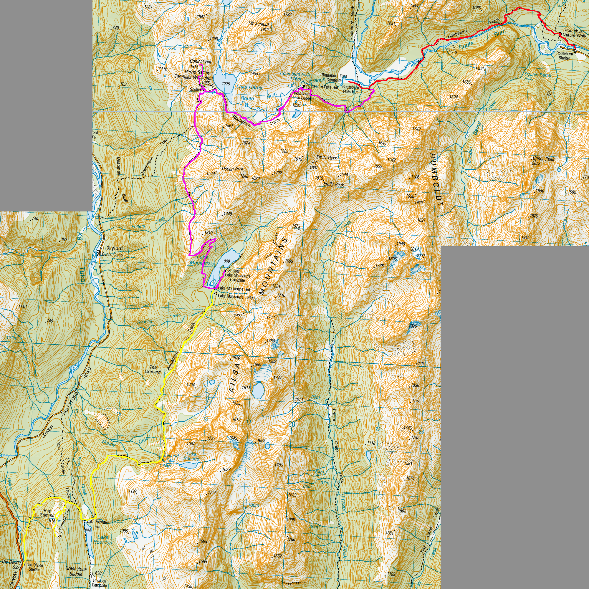
Day 1 – Routeburn Shelter to Routeburn Flats Campsite – 7.5km – 1.5hr
Having spent the night in nearby Queenstown, I caught a trail transport to the trailhead at the Routeburn Shelter where several of us were dropped off. I left the shelter feeling icy at just after midday, marching into the forest and following Route Burn. A burn is a watercourse, somewhere between a large stream and a small river.

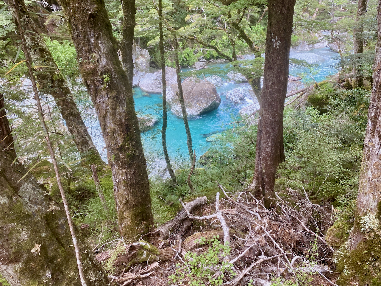
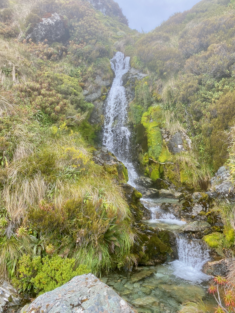
Over the course of the day, there would be a gradual 250m climb, which was barely noticable. With only a short walk, I out marched the others from the trail transport, crossing several side streams on swing bridges and static wooden bridges. These bridges gave the only real views of the day other than trees. The water of the burn ran very clear and was a tourquoise blue in many of the pictures I took.
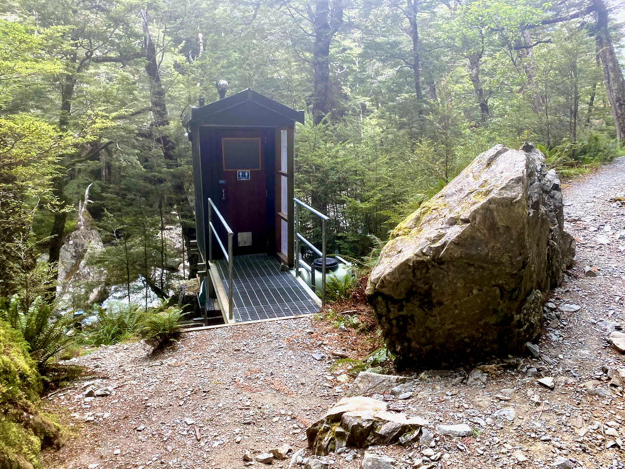
As I walked, I came to a purpose built toilet, just off the side of the trail. There’s nothing like the sense of being in the wilderness with random toilet blocks.
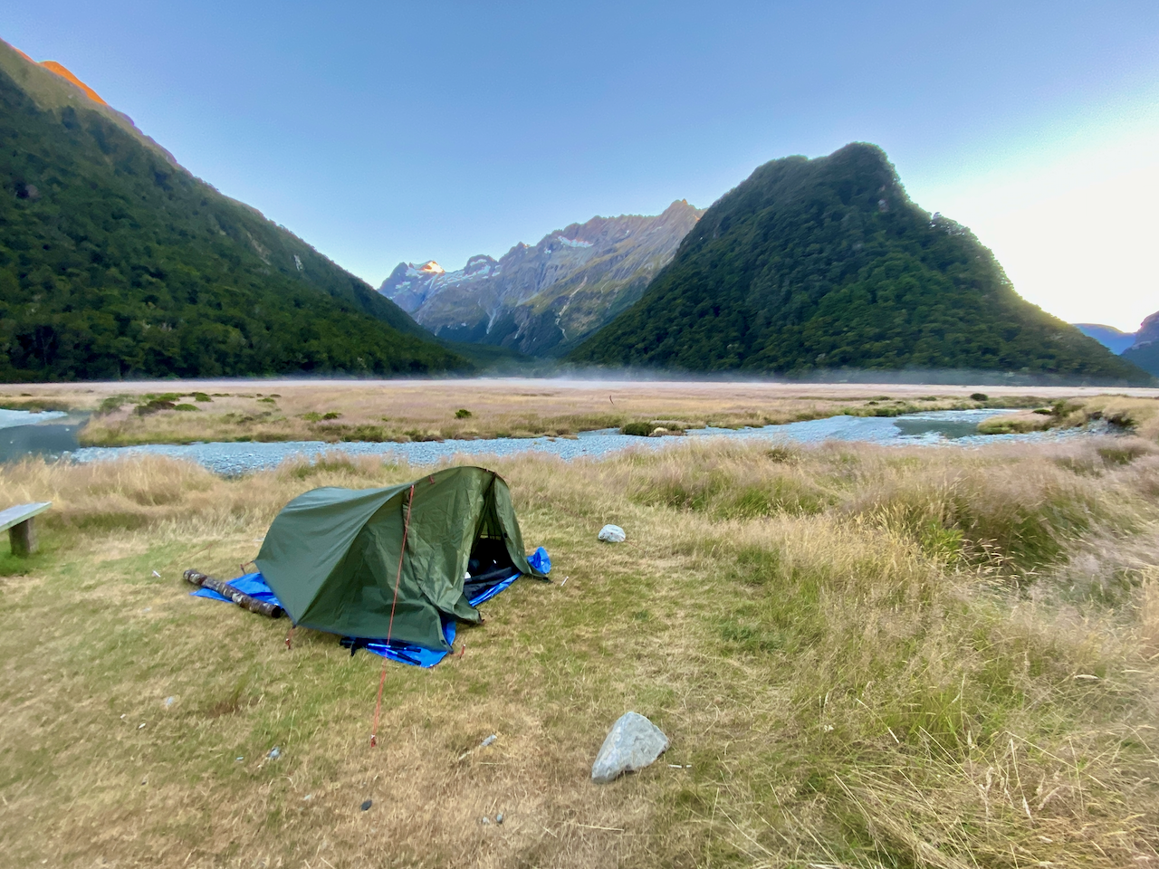
The trail itself could be described as the motorway of hiking trails, wide, flat and stony. This was purposeful, I assume, to make the hike accessible to beginning hikers. Before long, I could see the flats opening up on one side of the river and came to the Routeburn Flats Hut. Only 200m to the campsite and I was out of the trees, where I pitched my tent and hung out for the afternoon.
Day 2 – Routeburn Flats Campsite to Lake MacKenzie Campsite – 13.5km – 7hr + Side trip: Conical Hill
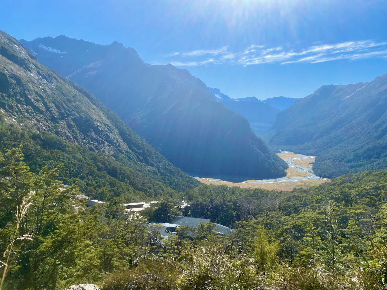
It had been cold overnight, but my new gear was warm. I was up early the next day, and as I packed up I watched the pink light on the tops of the mountains as the sun came up, well before it reached me and the other handful of tents. Once ready, I headed out of camp, back past the hut and up the hill. It began a fairly steady climb of 250m over the course of the 2.3km, but still in the trees. The trail became thinner and rocky as it skirted around the mountain until the hut came into view. After my first spot of hard work on this hike, I dropped my pack at the hut and took a 10 minute break, admiring the view back whence I’d come. It was around here that I first began to notice my pack didn’t feel weighted right.
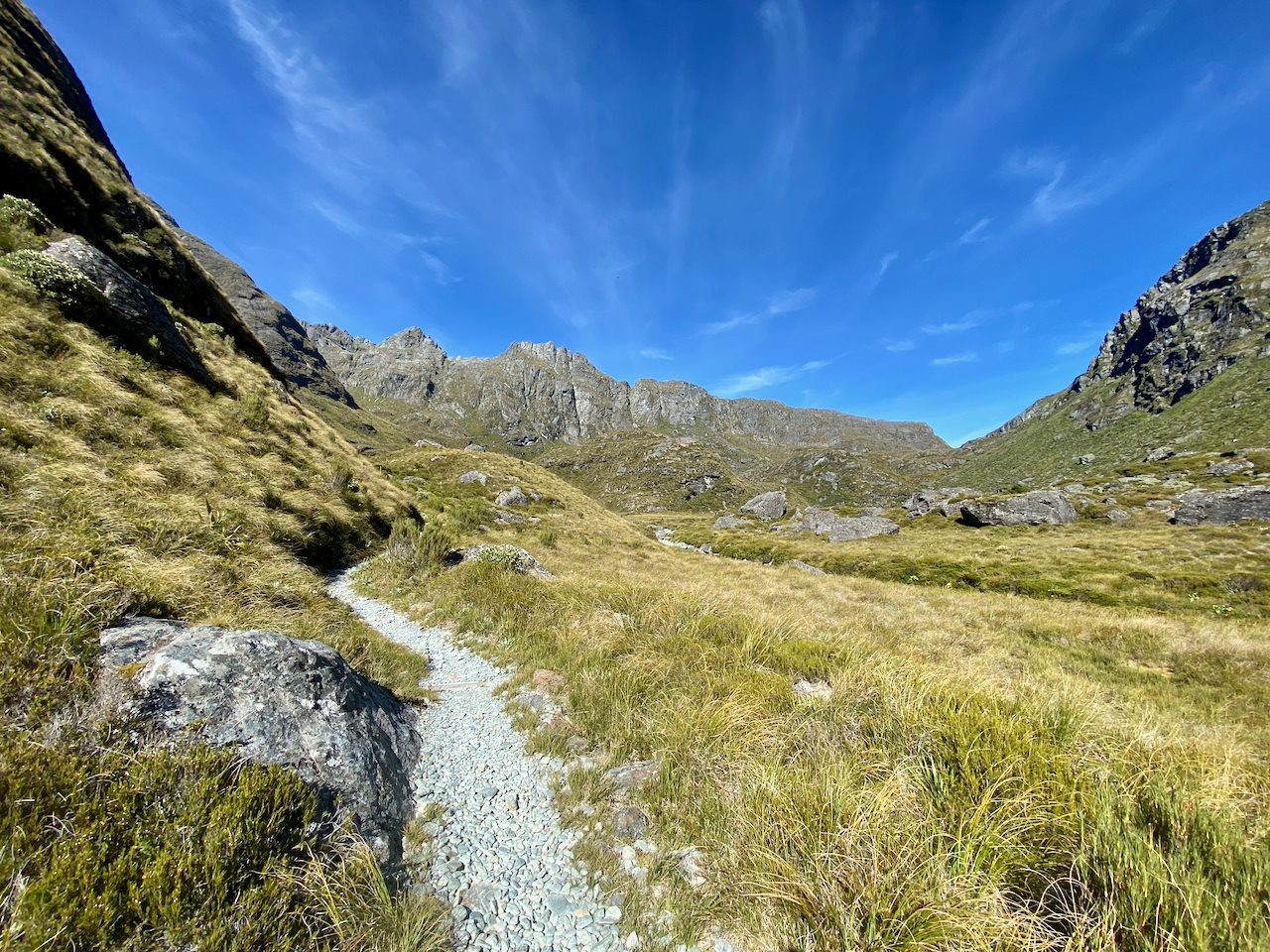
After my break, I pushed on up the hill and out of the forest for the first time. Today, the weather was blissfully sunny, as I climbed another 250m over 2km and got a sight of the trail ahead crossing the small plateau. At one point I passed an older couple and their daughter having a late lunch.
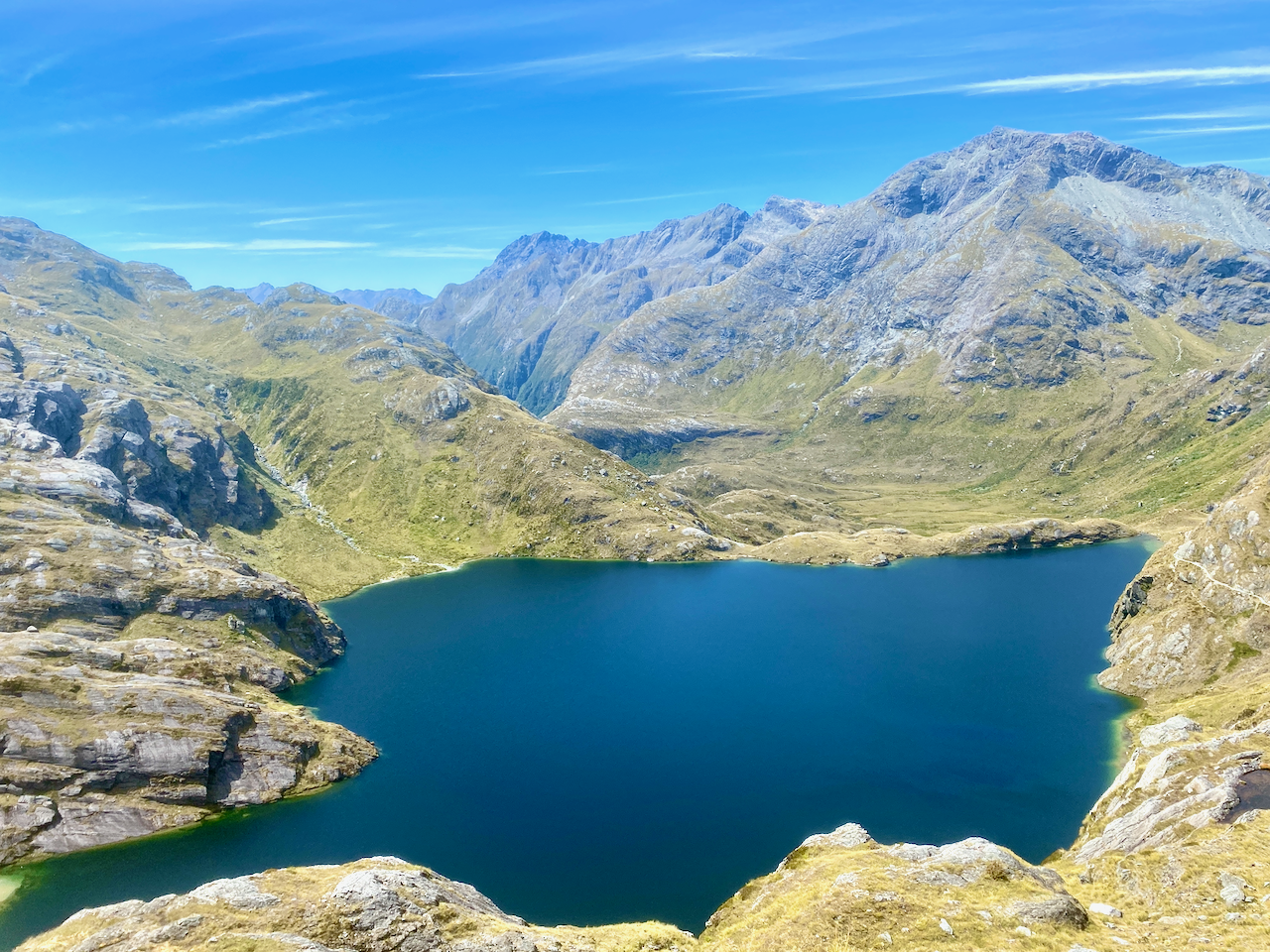
Without looking at the map, I guessed a lake sat in the crater above. On climbing around the side of the peaks my guess was confirmed when Lake Harris came into view at the top of the Route Burn Left Branch.

As the path led around above the lake, I crossed the hike’s highest point (not including side trails) at just under 1300m, and rounded the peak to see the Harris Saddle Shelter. I crossed the saddle and set my pack down for lunch.
It’s here that the side trail up Conical Hill begins. I’d heard it was well worth the effort, so I donned my day pack with water bladder inside and begin the climb. I won’t lie, it was hard work, and I stopped many times for short breathers until I finally came over the top. At 1515m, the summit of Conical Hill gave me great views along the Hollyford River Valley leading to Lake McKerrow and further out to the Tasman Sea.

At the other end of the valley I could see a lake, but with so many lakes in Fiordland, I couldn’t tell which it was. I hung about for 10 minutes before heading down. As I got to the shelter, I discovered I was out of water with 3-4 hours of today’s walking still to go. I stopped for a few minutes before heading off south along the upper slopes of the Hollyford River Valley.

I’d heard much of the water in the streams, huts and campsites were good to drink without treating. So at the first stream I filled up. The taste was crisp, clean and refreshing. I continued along as the trail slowly undulated around the small peaks. I again passed the trio from before the saddle, they too had run out of water, but were more nervous about drinking from the streams.
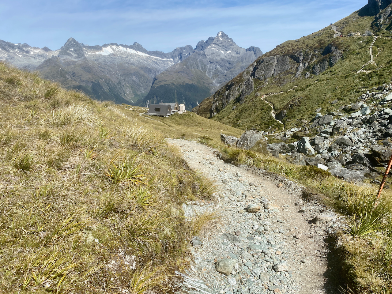
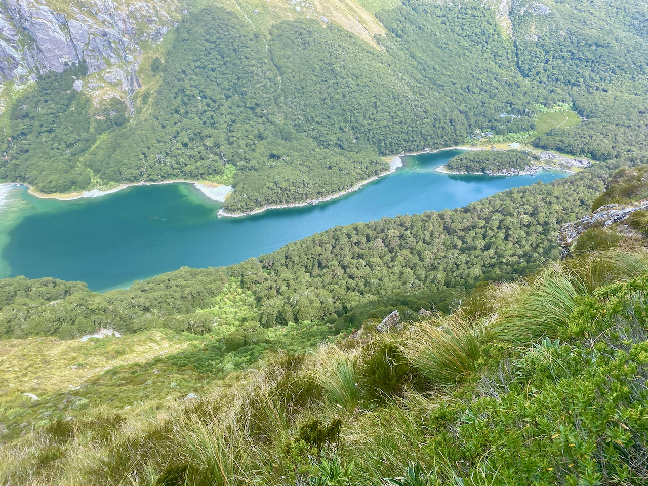
I continued and eventually rounded a peak to see Lake Mackenzie below, the hut (the white block on the right), and the camp (near the largest of the visible beaches. After rounding the peak, it was all downhill to the lake.
The trail hit a couples of switchbacks before diving back into forest. Over the past couple of hours, I had begun to notice more and more that my pack wasn’t quite right. It was hanging to one side all the time, and the straps kept slipping. It felt more like a travel pack meant to sit on the back for an hour at a time, not a 9 hour slog over mountains. I stopped and repacked it, but while the balance felt a little better, but it still wasn’t quite right. I followed a girl down the hill and came out at the hut. Nearby people swam in the lake as I continued the the 10 minute walk to the campsite. Finding a spot, I pitched the tent, had a wetwipe ‘shower’ and zipped myself in for the evening.
Day 3 – Lake MacKenzie Campsite to The Divide 12km – 5 hours + Side Trip: Key Summit
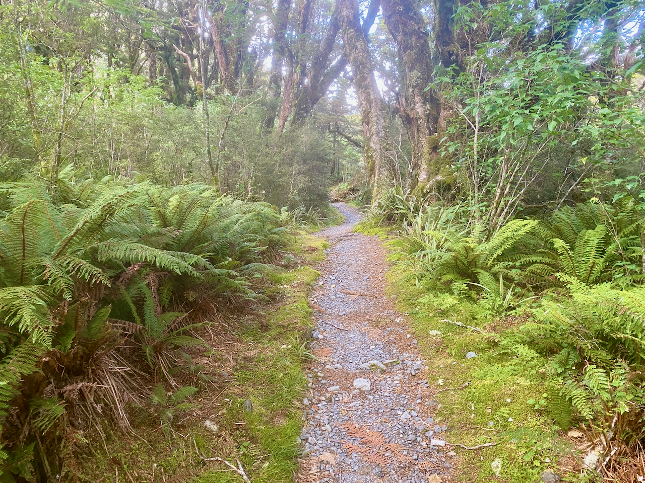
Most of today would be in the forest, so after a late breakfast I headed out. I climbed the first of today’s two short climbs, barely noticing the 100m over the 1.5km distance. It was then fairly flat over the next few kilometres, the only views were in places where there had been slips although signs advised to hurry through and not stop.
At one point, I ran into the older lady and her daughter and stopped for a chat. Then a kilometre on I came out at the Earland Falls and met the husband with a family I’d met on the transport to the hike on the first day. It seemed we would all be on the transport out of the hike later that day. Earland Falls is a 179m tall with a large pool at the base. The water levels were low, but it can apparently flood during the winter.

From here it was a descent of 300m over 2.5km, but as it was through the forest, it was hard to tell. I passed several people going the other way in the early hours of their hikes before eventually coming out at lake Howden where I stopped for a 15 minute break. There was once a hut at this location, but it burned down a couple of years ago. After my break, I headed up the last 100m climb of the trail, still in the forest and stopped after a kilometer, when the trail led up to the Key Summit. I dropped my pack and headed up without it. The side trail climbed above the forest line giving wonderful views back north along the Hollyford River Valley from whence I’d come. At the top, it also gave a view of Lake Marian.

I stopped only briefly before heading down again. I donned my pack and continued for the last 3 kilometers of the trek, all downhill and all within the forest. I emerged at the Divide Shelter, took my pack off and rested. Not long after, others began emerging too, many of whom would be on the 4 hours bus ride back to Queenstown.
Overall
The Routeburn trail is a classic three day hike centred around crossing Harris saddle, with much time spent above the forest line. It was a busy and popular hike that I’d rate as having a moderate difficulty. I’d recommend for beginners and and those fairly new to hiking, although advanced and experienced hikers would enjoy too, although there are other more challenging hikes around.
It was good to get out on the track after 18 months away from hiking due to COVID and moving countries. I was troubled by my new pack, so set a task for myself to buy a new one on returning to Auckland.
Next week, I head to Nelson to start the Abel Tasman Coastal Great Walk.
Until then,
The Lone Trail Wanderer

What amazing scenery. Definitely interested in this one.
Thank you.