In mid February 2023, I found a gap in the rainy summer and headed to the central North Island of New Zealand to walk the four day Tongariro Northern Circuit. See Day 1 here.
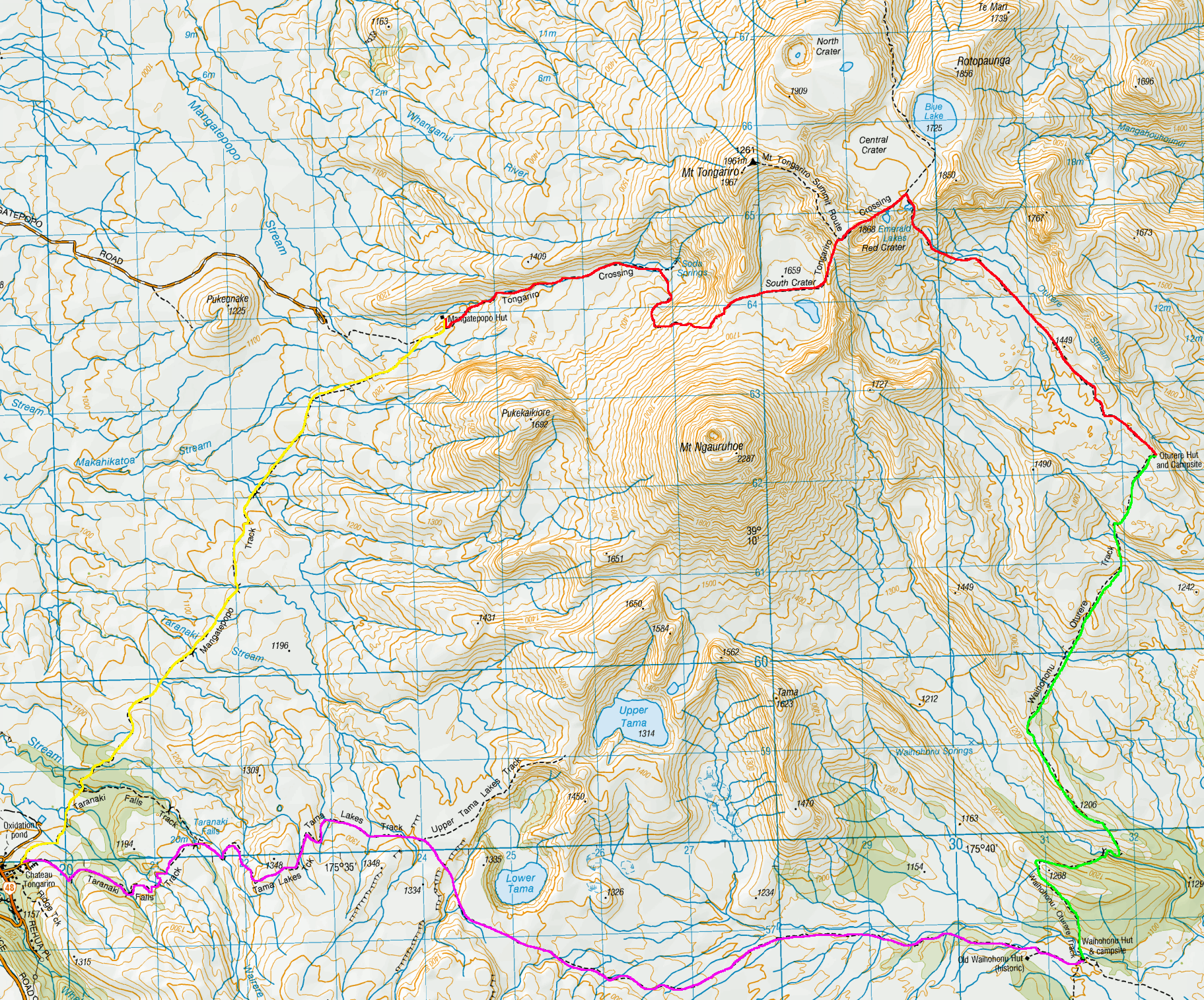
Day 2 – Mangatepopo Hut to Oturere Hut via the Tongariro Alpine Crossing – 5 hours 10 minutes – 12 km (Red trail)
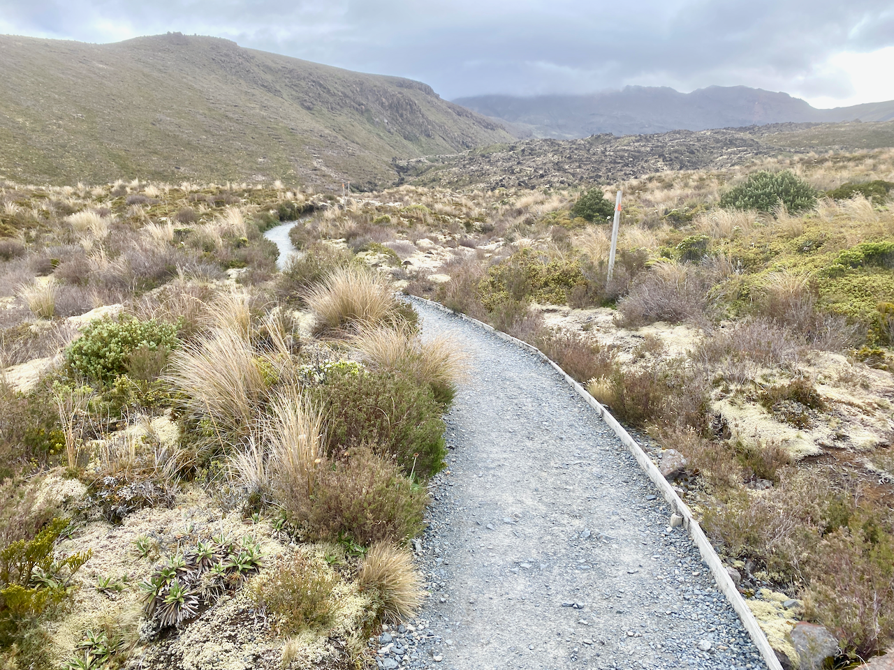
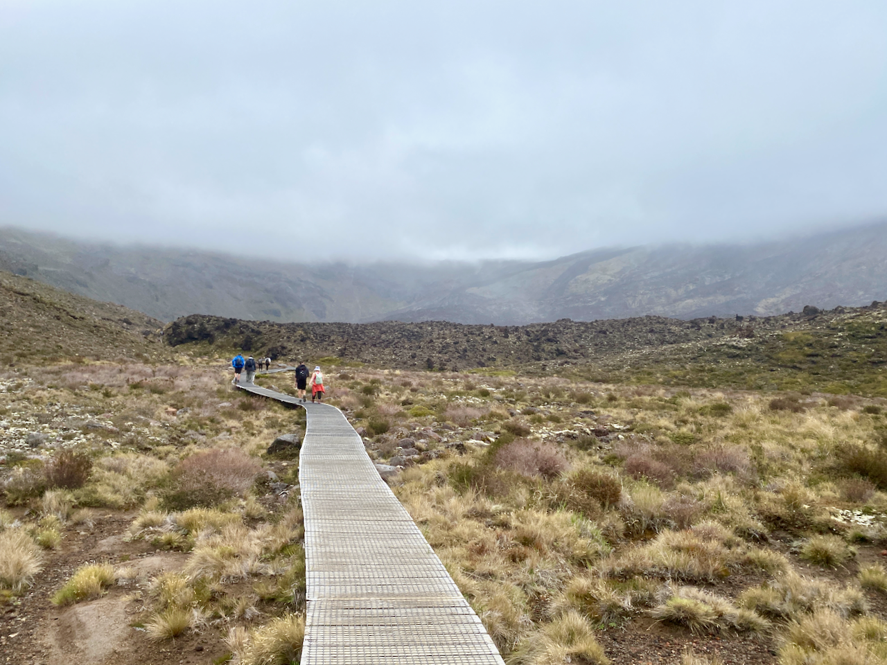
Morning came and the rain had stopped but it was still cool. With the carpark for the Alpine Crossing only 20 min from the hut, the first waves of people began filtering by fairly early. I got ready and headed out onto the wide gravelly trail, the ridge I’d climbed the day before up to the left.
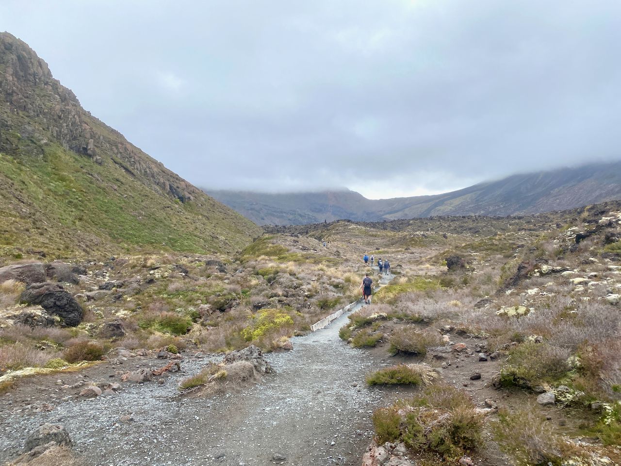
The beginning of the trail is a fairly slow climb through the lower portions of Tongariro heading towards the South Crater, which is just over the lowest point of the ridge straight ahead.
There are boardwalks in many places along this route to protect the ground from so many marching feet on their daily attempt up the mountain. I got into a good rhythm passing many of the walkers with their tiny packs while carrying near 20kg in mine.
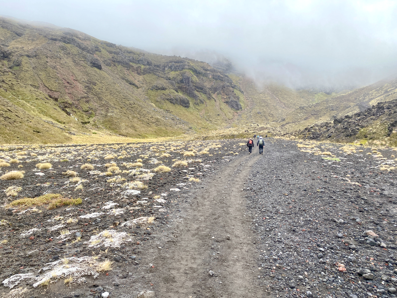
The lead up to the first climb is stony but also well worn. When I did the Alpine Crossing previously, I was already immersed in the cloud which stayed with us for most of that walk. I was hoping today would be different.
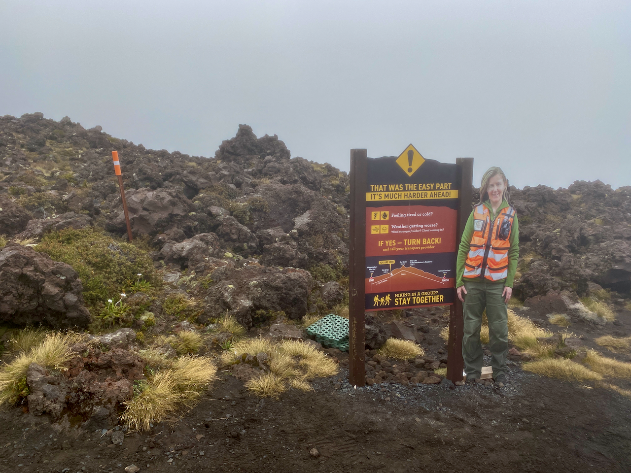
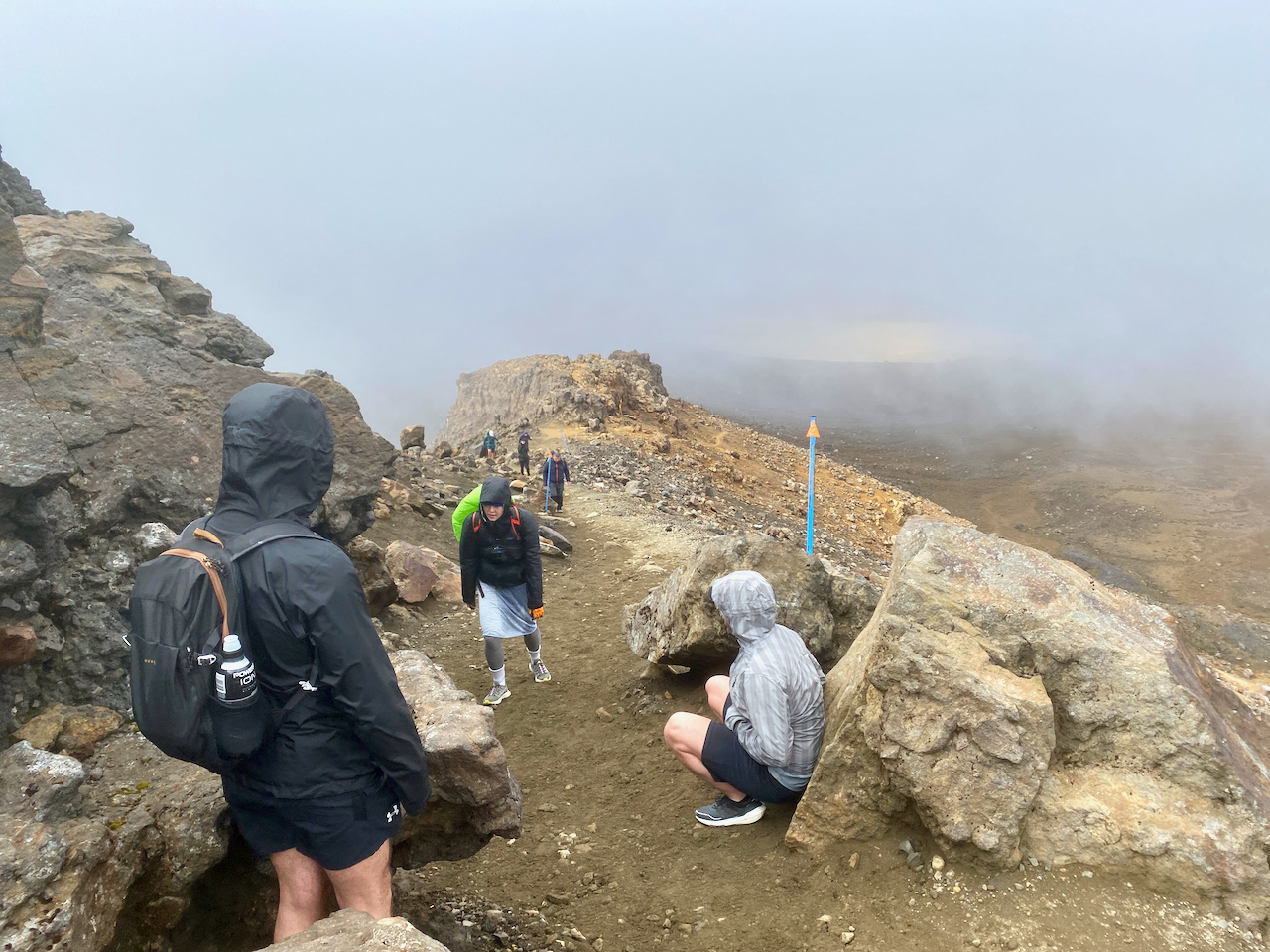
I began the initial climb to the toilets, some of the many emplacements along the crossing. I was approached by the two French girls I’d picked up hitch hiking to National Park village 2 days ago. I wished them well before proceeding. I was already in the low clouds at this stage, and had my thin waterproof jacket on backwards. I sweat heavy down my back, no point adding an extra layer where I don’t need it. And, when I no longer need it, I can remove it without having to take my pack off. At the toilets is the first warning sign:
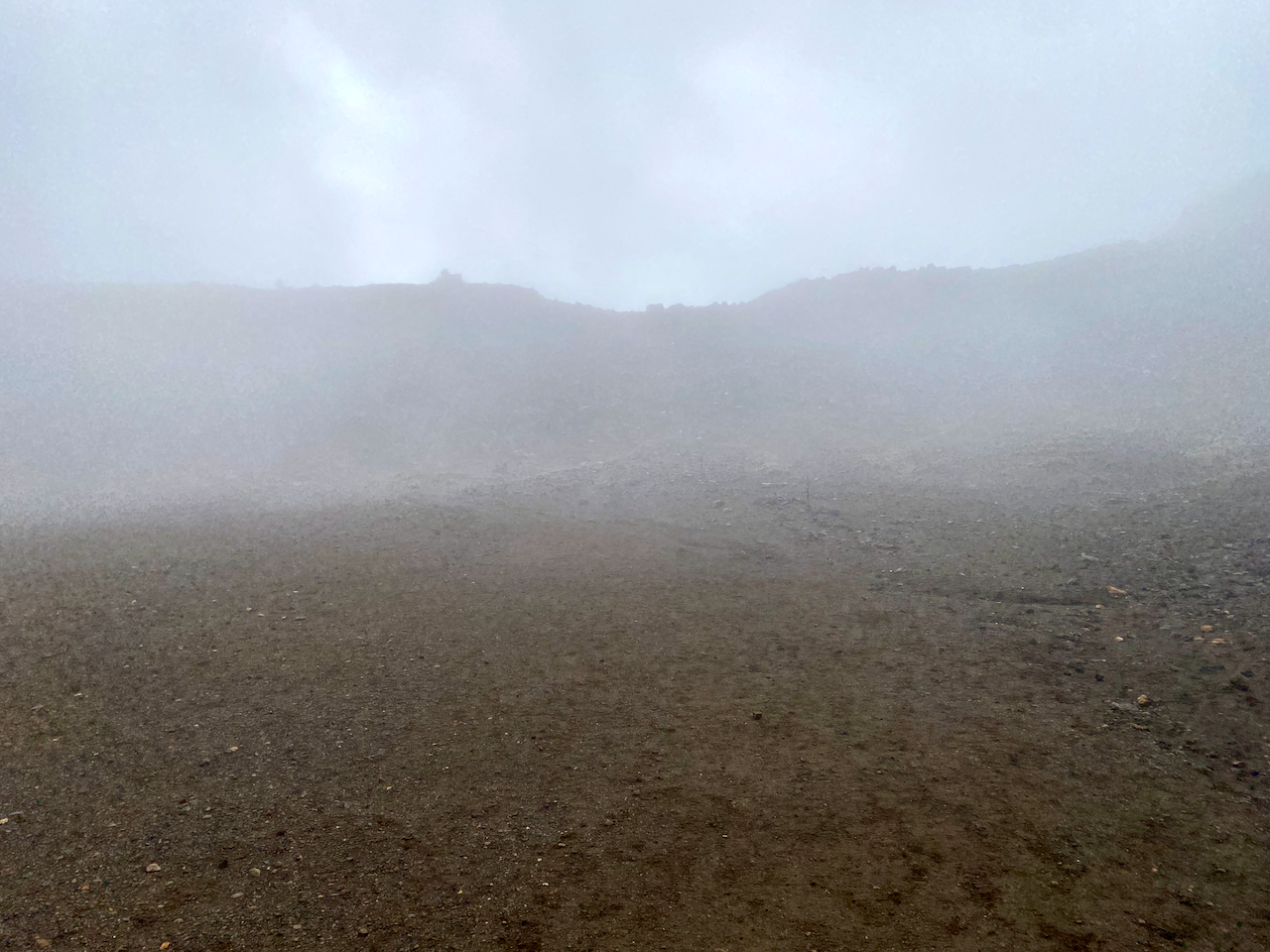
The climb from the sign to the southern crater is only 250m in altitude gain, but in the light rain and wind it felt longer. It was here I first started hearing people coming back down warning how bad it was up top. When I got to the plateau of the Southern Crater, the wind had died down but the clouds still hung heavy.

The wall of the crater came into view after a five hundred metre walk across the plateau, and the wind began again tugging at my jacket and pack cover. I’ve heard some nightmare stories of people’s pack covers being torn off in the wind. Thankfully, mine has a cross strap, so was stable just a little noisy.
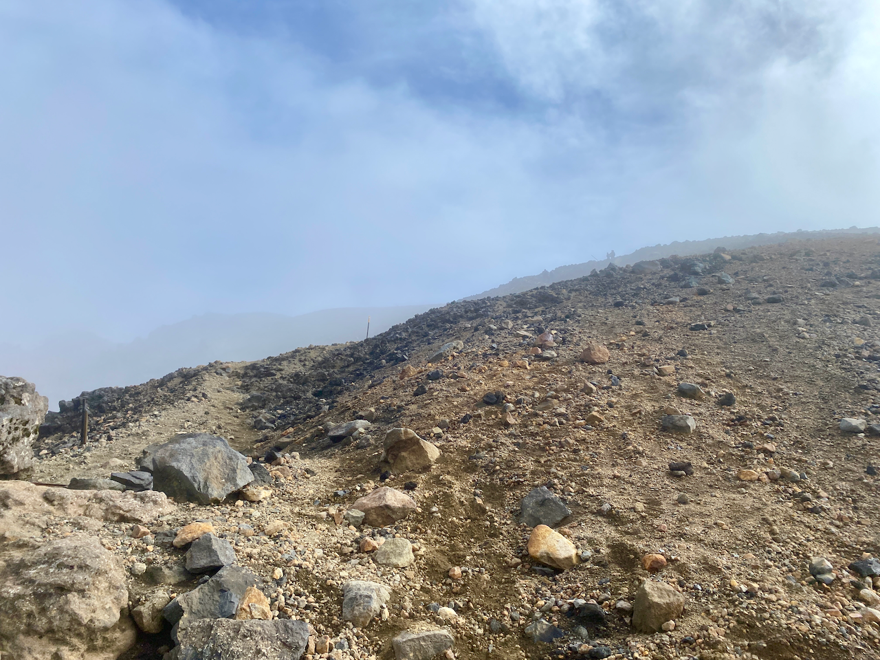
The Decision Time sign appeared out of the gloom, no doubt causing more people to head back. I marched on, my fingers starting to get cold but I was thankful for the long sleeves of my backward jacket giving a little protection. Some groups around me continued the climb, bit by bit, resting briefly where they could. My fingers got so cold they went numb and I couldn’t feel the buttons on my phone.

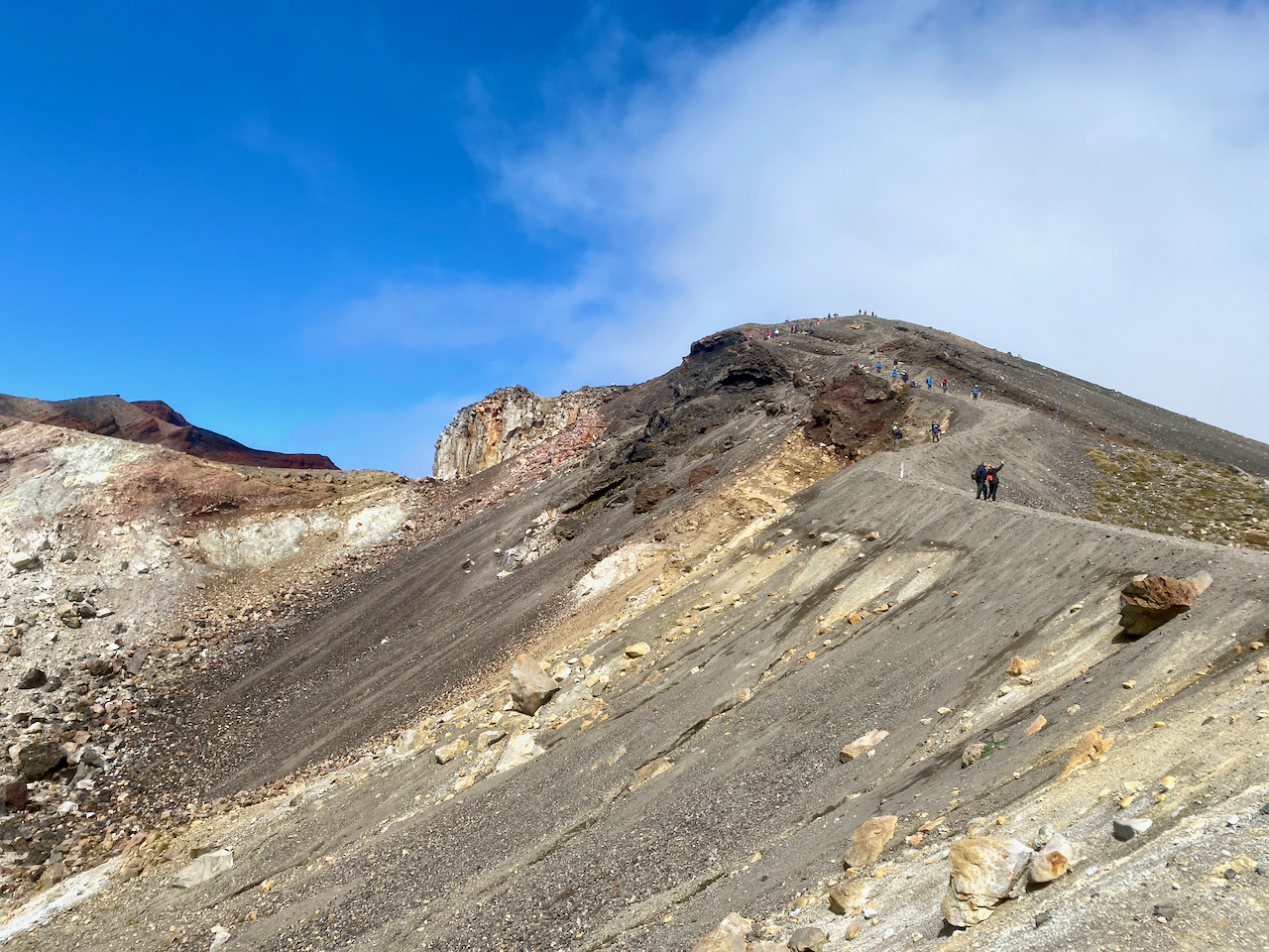
Like the first time I did the crossing, the most exposed section near the Red Crater had wind blasting visibly across it, and as per last time, I pushed on. This time I’m thankful for my hiking poles to give me a little more stability as I climbed. I marched on scurrying from rocky outcrop to outcrop across the exposed areas.
Then out of the mist, the final climb to the highest point at 1868m. Wind tearing at me, fingers numb and hands red, I pushed on.
Then in what seemed like a handful of moments, the mist swept away and looking back I got a better view of the South Crater from above.
And to my right, the Red Crater.

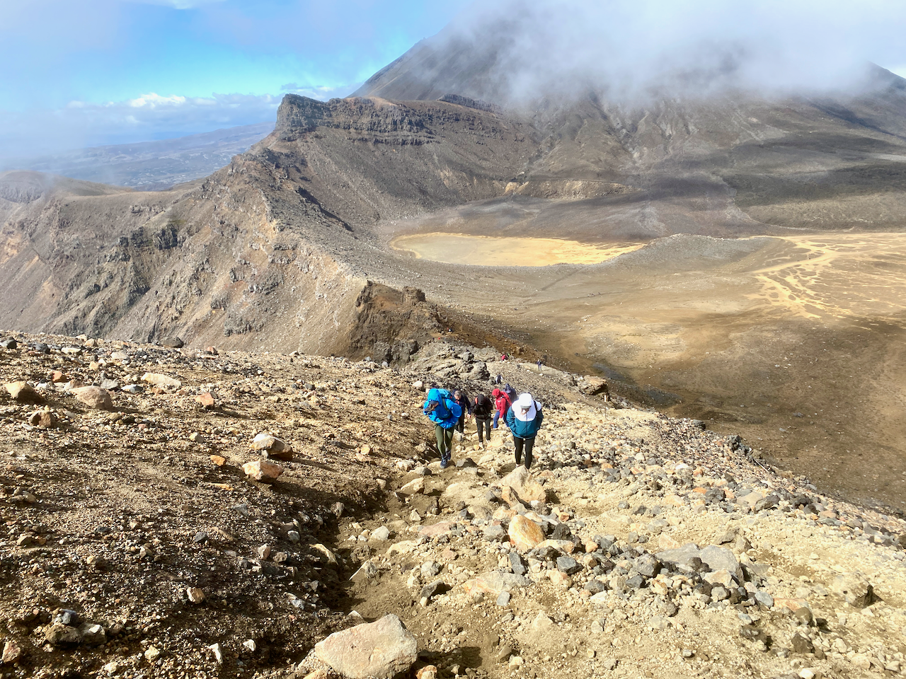
The wind was still cold, so I pushed on, but as I began my descent, it ceased and the sun began its warming effect. I could feel my fingers again. Below me was the Central Crater and across it, the Blue Lake. The crossing continues past the Blue Lake and down the side of the mountain for several more hours to the collection point. Last time, none of this was visible, the cloud only clearing when we were half way down, past all the main sights.

The Northern Circuit doesn’t go past the Blue Lake, instead cutting right after the Emerald Lakes.

The trail down is not rocky like the ascent, instead it’s a light dirt/ash mix where you can slide if you aren’t careful. I slithered down in my boots and took a shot back up the peak. Afterwards, it was estimated more than a third of the climbers today had turned back.
I dropped my pack on the trail and stopped for lunch in the sun, then left it beside a rock and walked to the Blue Lake and its fairly easy climb. I looked back across the Central Crater to the Red Crater which looked like a gaping maw of the mountain.

I didn’t stay long at the Blue Lake before heading back.

Donning my pack again, I headed down the quieter trail towards what I describe as a hellscape, the Italian couple are ahead of me.

The trail to the hut has a long slow rocky descent onto the hell plains, then a hot 3-4 km march across rocky landscape.
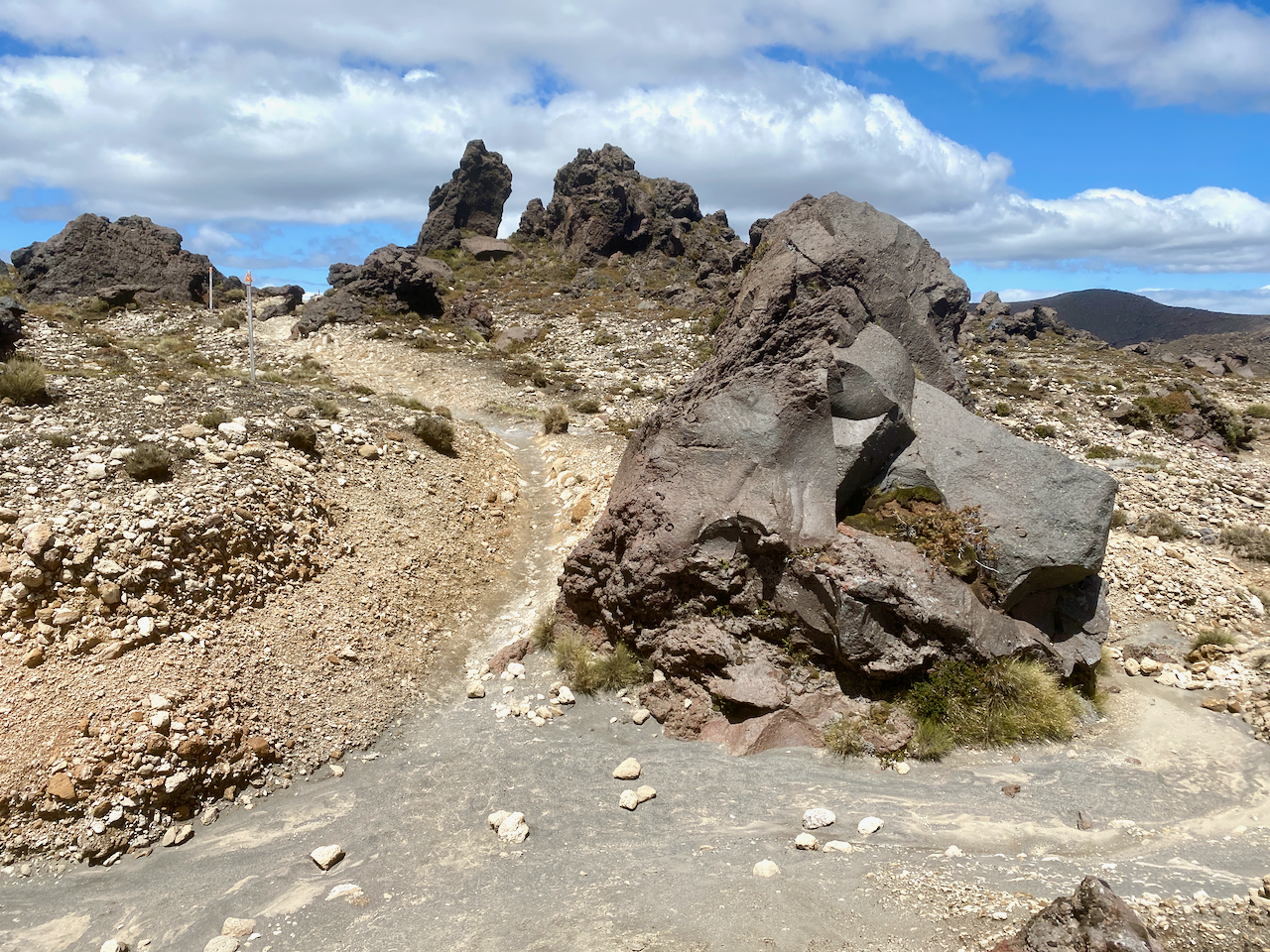
Oh, and did I mention the never ending sand?

Eventually, I came over the a rocky outcrop and saw the hut up ahead. Perhaps it was my lack of sleep the night before, but the final hour across the hellscape just seemed to drag. I was grateful to arrive. At the hut, I unpacked my tent and ground sheet, lying them out to dry in the sun and warm wind.
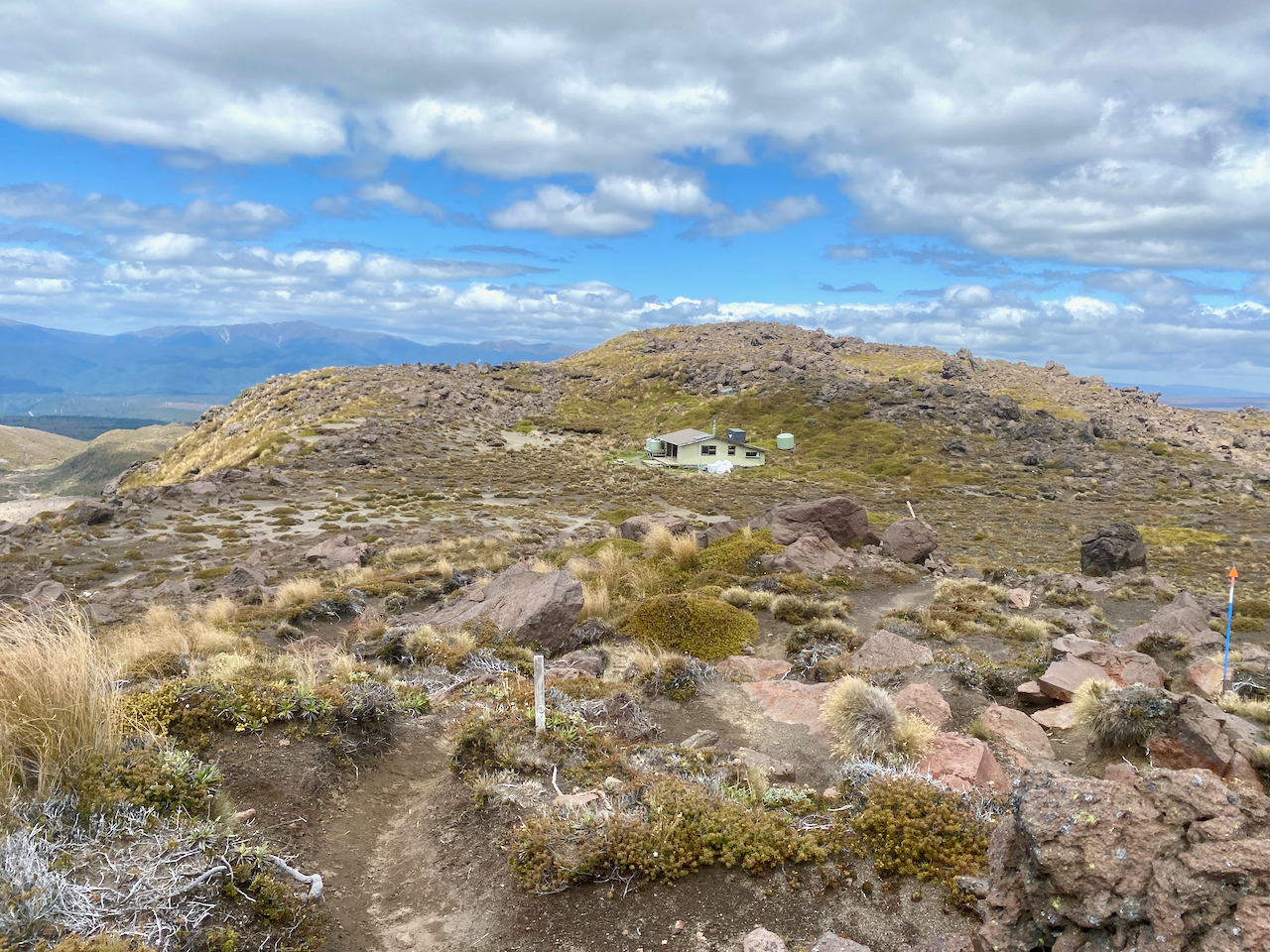
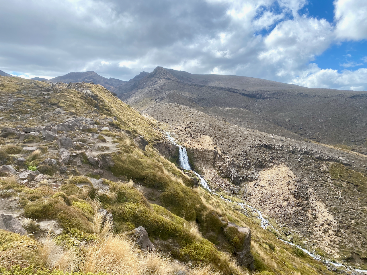
I headed inside to get myself a prime bed in one of the smaller rooms, before heading out to the ridge where I found the campsites, a good 4G zone and a waterfall.
The crossing was everything I remember from my previous effort, except I got to see some sights this time. It’s definitely the high point of the trail (pun not intended but accepted). Tonight I relax and prepare for the shortest day of the trail tomorrow.
Next, Days 3 and 4 of the Tongariro Northern Circuit Great Walk!
The Lone Trail Wanderer.
