In late February 2023 I embarked on my longest walk in New Zealand, 13 days across the Southern Alps of the South Island. Go back to Days 9 – 10 or the beginning Days 1 – 3.
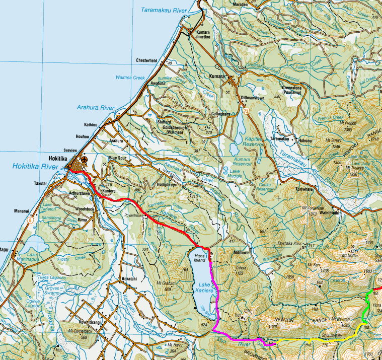
Day 11 – Mudflats Hut to Mid Styx Hut – 12.38 km – 6 hours – Yellow
My German hut mate for the night left in the dark to walk out along the trail I’d come in on yesterday, so when I awoke, I did my usual breakfast and pack up routine before heading out. The rain had stopped early this morning, but the grasses would no doubt be wet. The sky in the direction I was heading looked promising.
I crossed the river via the wire bridge and followed the trail along the grassland alongside the river. Not far along, it began to climb, but not high, perhaps 100m in elevation before levelling out in a wide flat trail similar to the one coming around the mountain yesterday. The trail continued for several kilometres, crossing many small streams, creeks and rock slides, but staying wide and flat, although edging higher as it went. The views along the river continued with Harman Hut, where the German girl had come from yesterday, somewhere down that way.
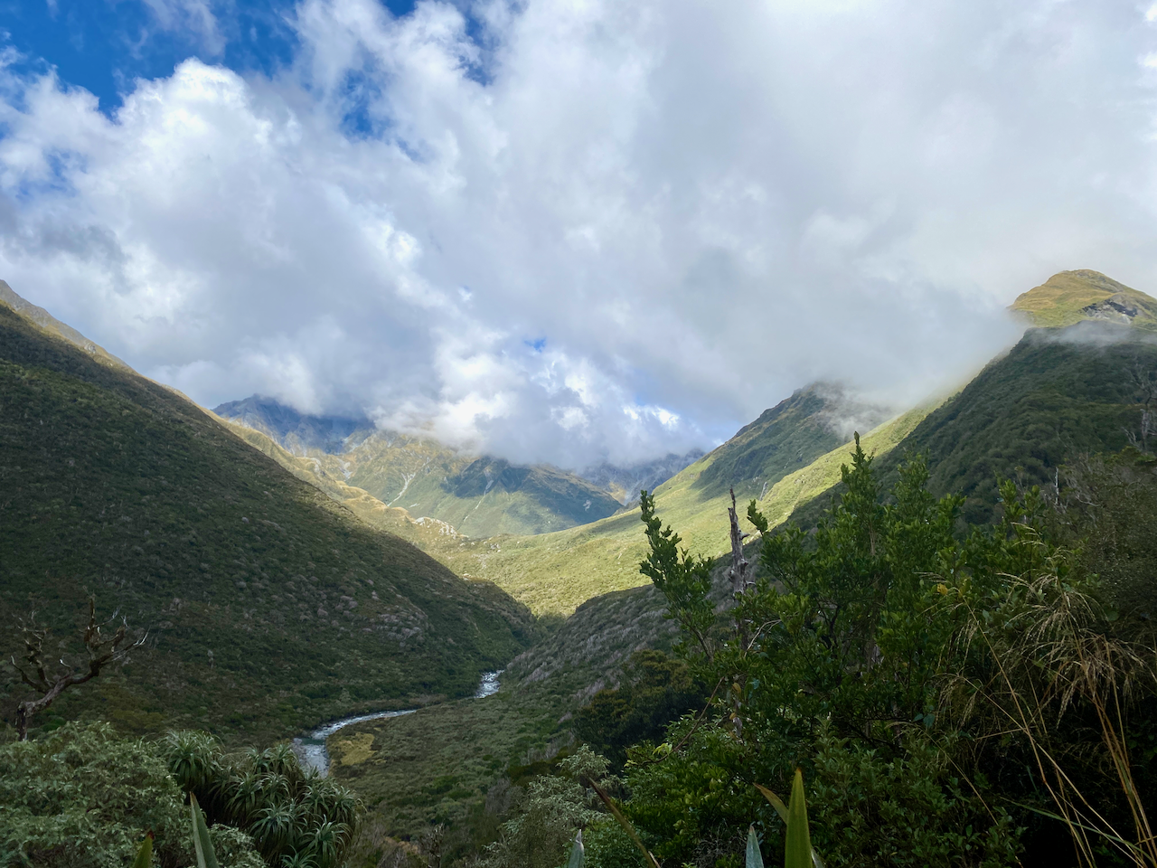
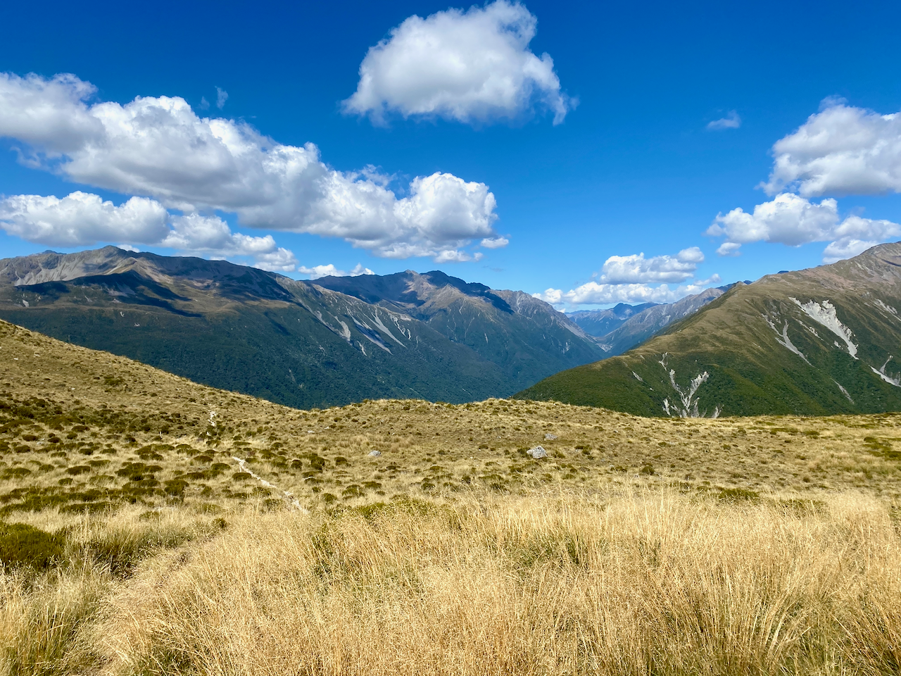
But I wasn’t going that far as my trail came to a T junction, the third trail heading over the Styx saddle, a low pass compared to many in the area. It wasn’t a difficult climb, more annoying as it was through tall grasses with little streams running across it, not to mention bogs here and there. I got wet as I crossed it, both boots and body due to the still wet grass, some of which were taller than me. I followed the trail markers towards the edge of the saddle hidden in mist. I passed a memorial of several people who’d died in a plane crash in the area in 1979.
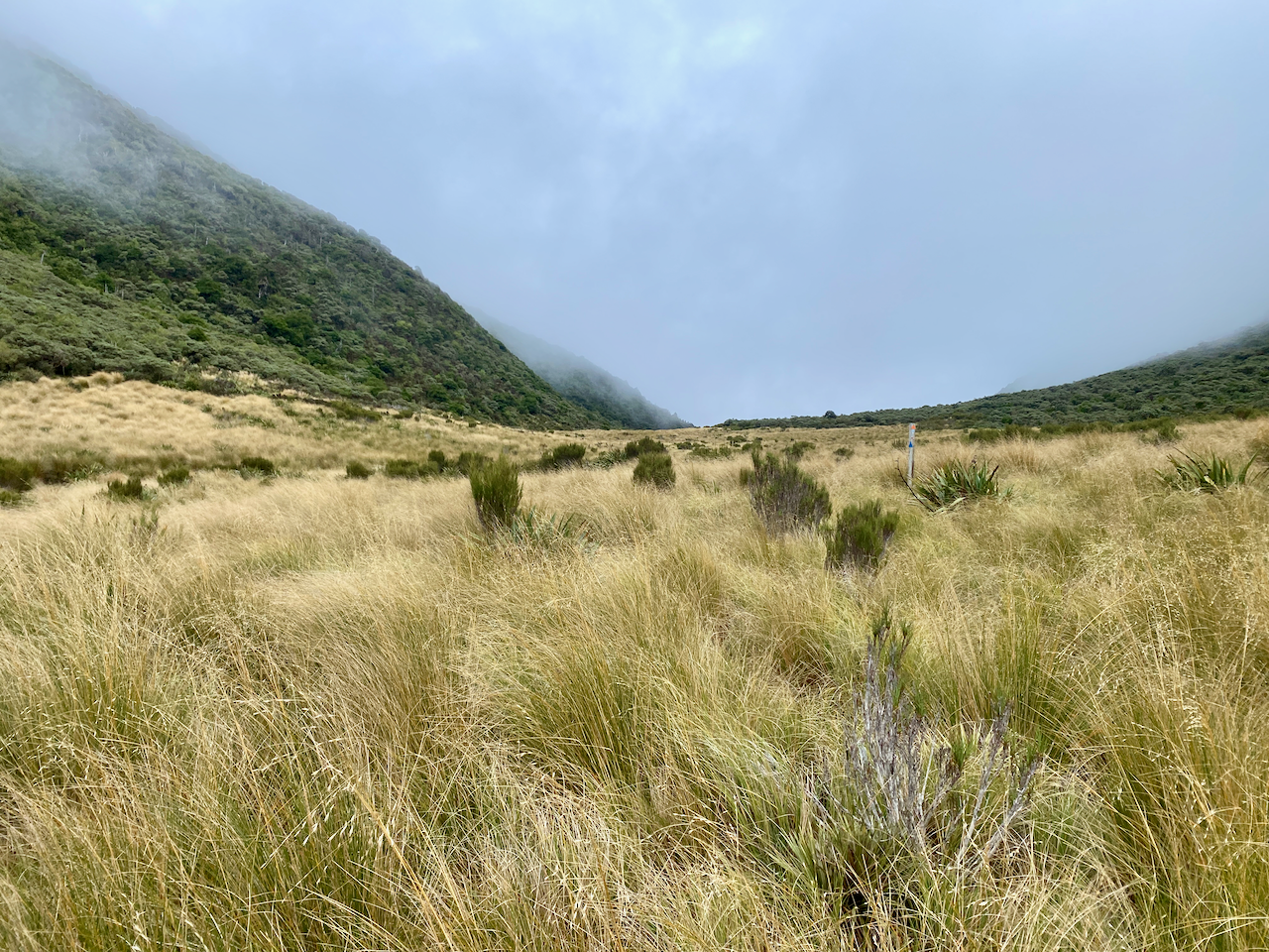
The way down was more thick grasses and thin trees along small streams but the mist cleared and I could see the descent ahead.
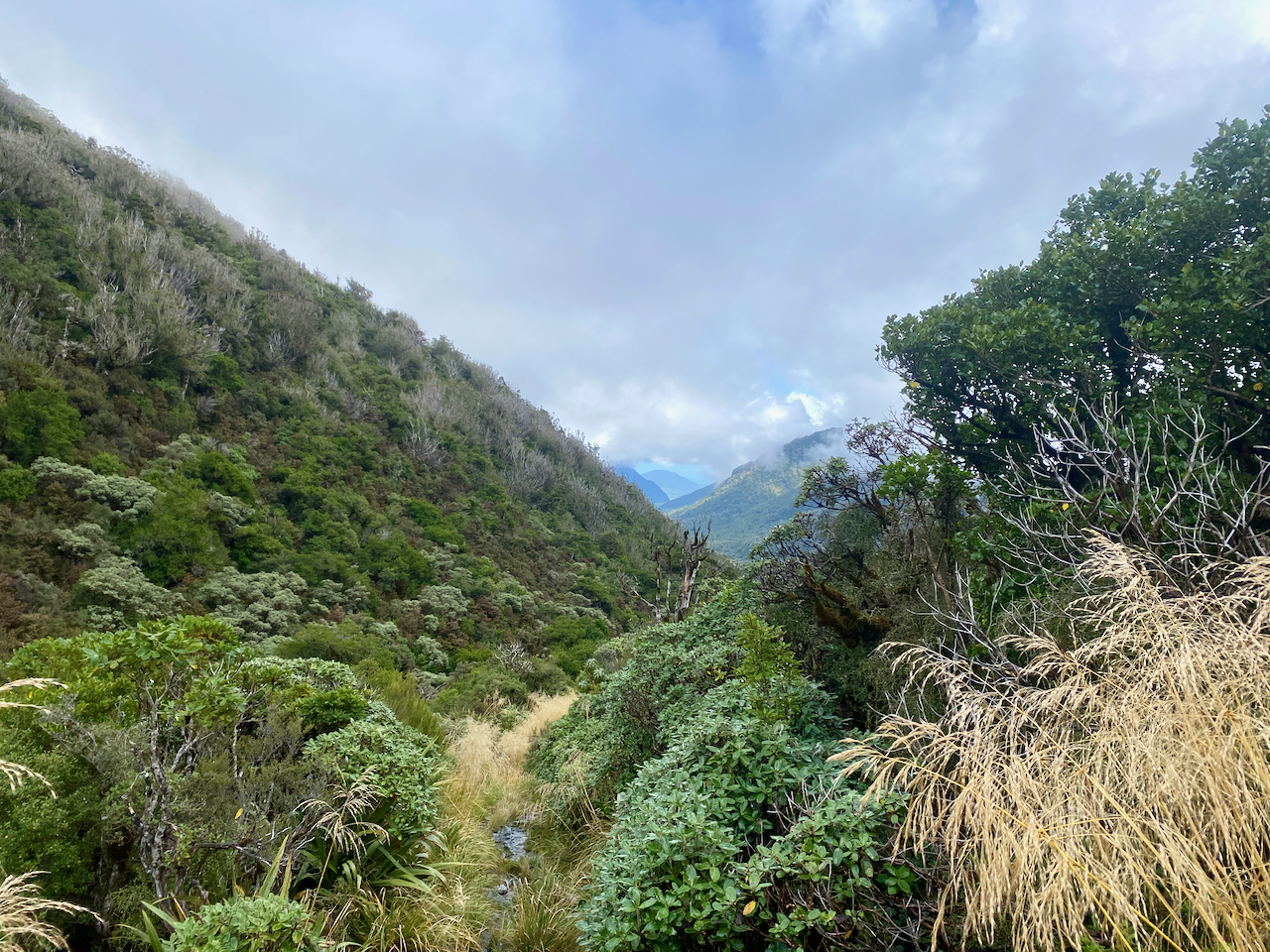
It was fairly gentle for the most part, dropping more than 100m to the grassy river plains below.
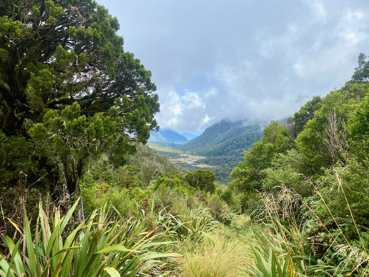
It didn’t take me long, crossing the occasional wide creek before popping out on the grassy plains.

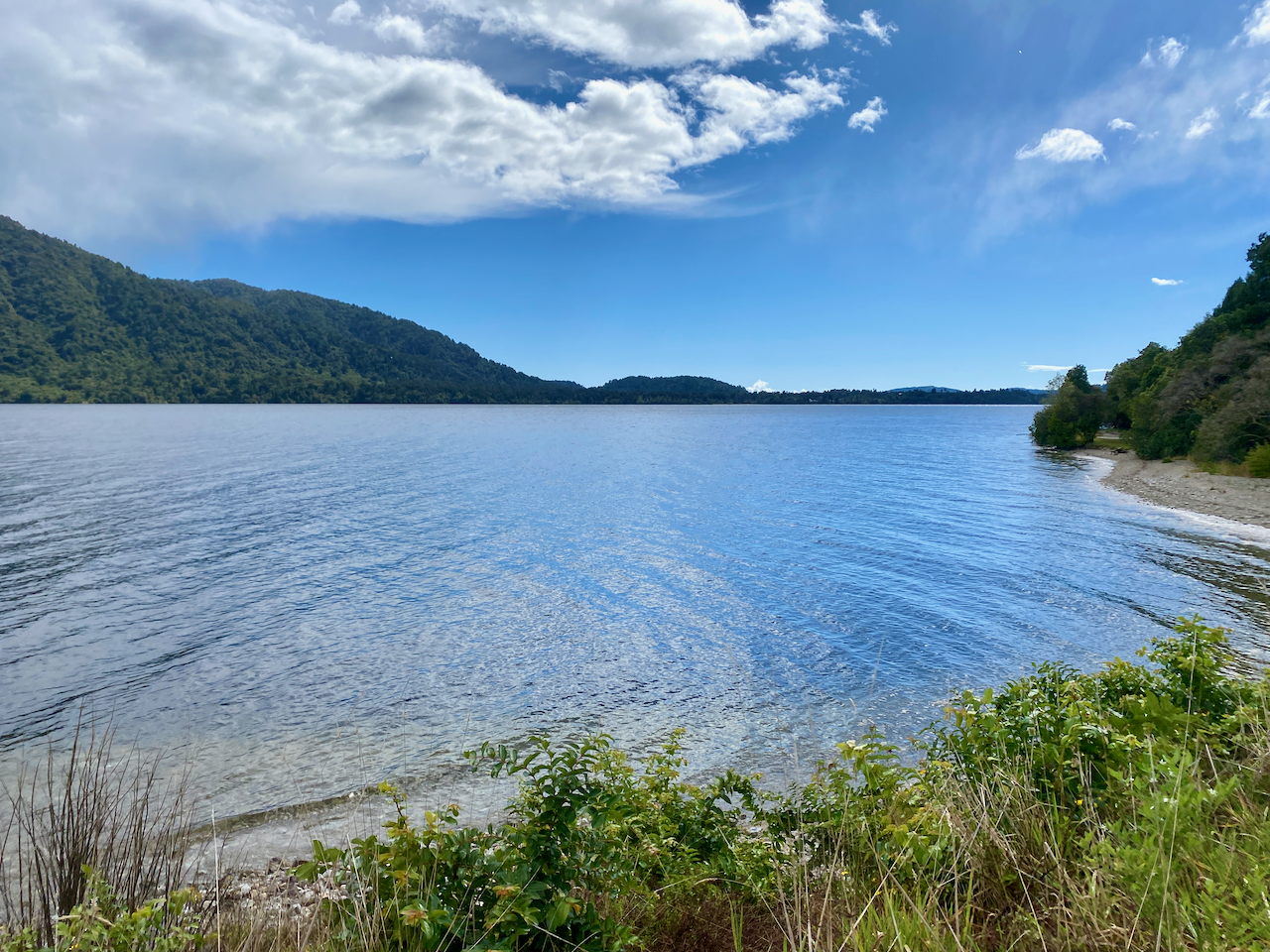
One more creek and I arrived at the Grassy Flat Hut. This is where I’d intended to walk to yesterday if it hadn’t been for the rain. I stopped, boots off and went inside to make a coffee and have lunch. I also checked the routes to the next hut. Over the wet winter, the heavy rains had washed away a section of the trail meaning that all walkers had to follow the trail to the Mid Styx Hut instead of just following the trail along the Styx River to the carpark. This meant I’d have to do a major river crossing at some point.
I headed out again after lunch, crossing some river flats, through grasses taller than myself, finding a way across a deep stream and then across the river to the far bank. From here I’d walk for an hour looking for the sign telling me where to cross the river, all the while watching the river grow deeper and wider.

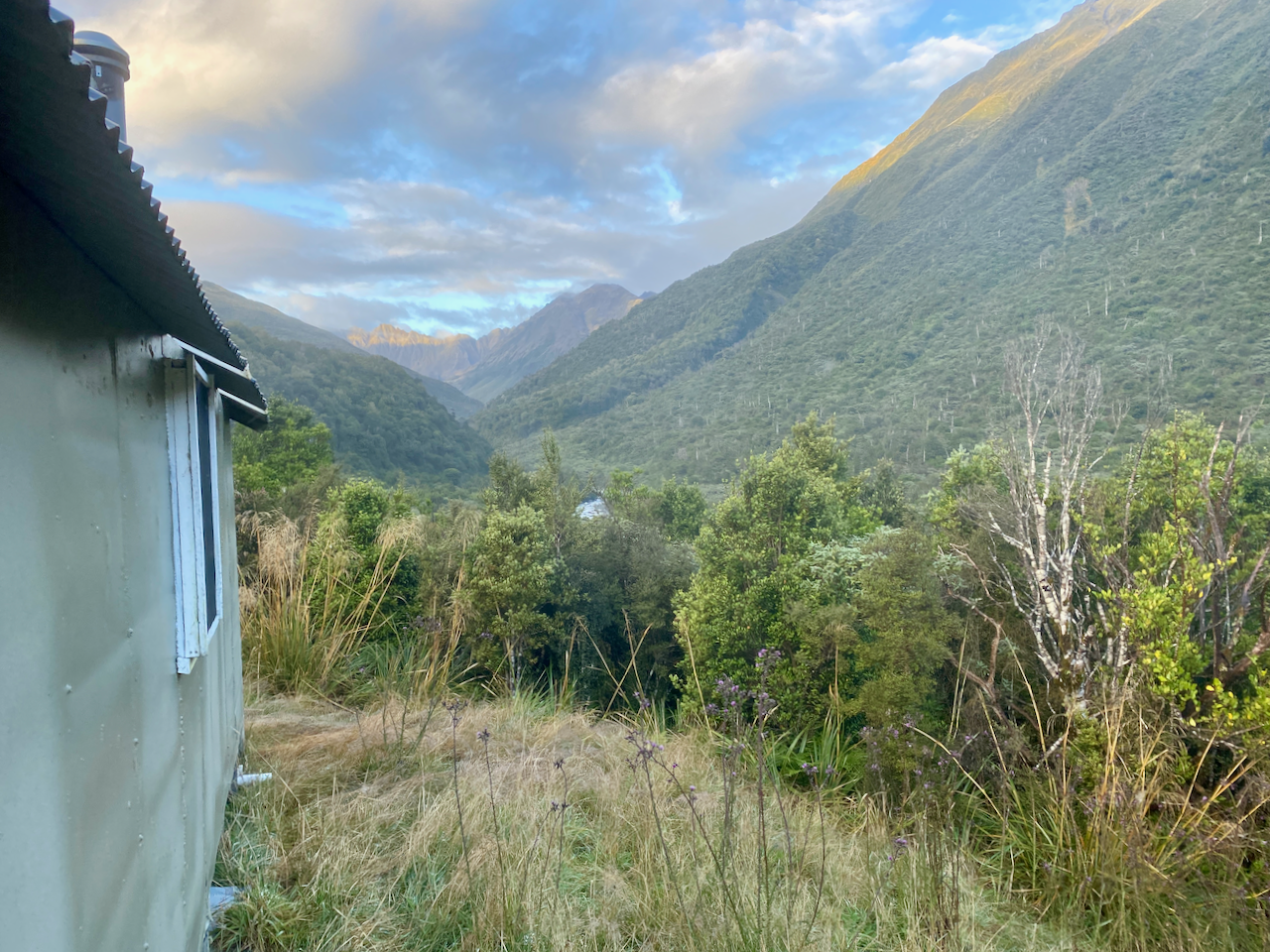
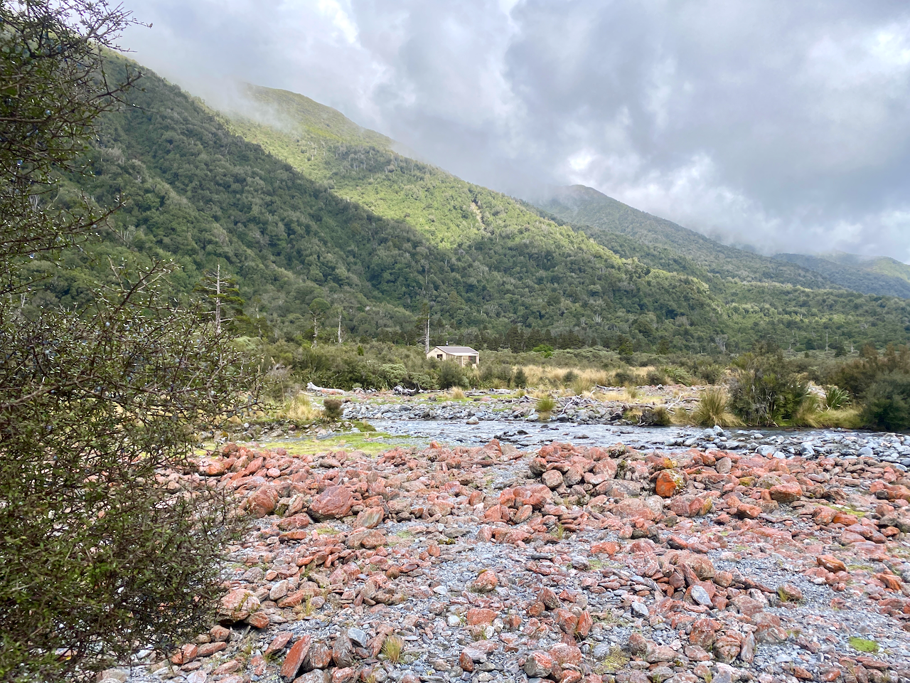
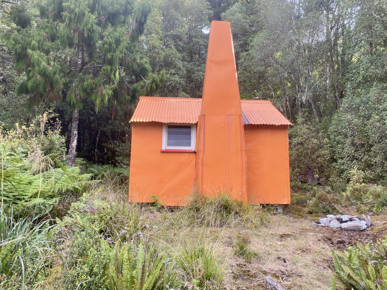
I almost missed the sign, but headed down the bank to the river. There was no hope I was going to keep my boots dry here, so I ensured nothing was in my pockets and waded on it, using my poles to help stabilise me against the flow of the river. The water at its highest didn’t quite reach my crotch thankfully, and I made it without much of an issue. I then headed up a thin trail into the woods that climbed somewhat steeply at points, but eventually levelled out through the thin trees. I passed the point on my GPS map and kept walking to eventually come out at a little hut. This one had an old style fireplace and no toilet. So I set about getting ready for the evening, getting wood in ready for a fire. There were plenty of tools in the hut, so I got a spade and found a nice place to dig a hole away from the trail, for tomorrow morning’s business. Then I settled in, got the fire going and chilled out for the evening.
Day 12 – Mid Styx Hut to Hans Bay Campsite – 17.7 km – 6 hours – Pink
I awoke the next morning feeling good and ready for my final day in the wilderness, as tomorrow will be mostly a road walk from the DOC campsite to Hokitika. I was lying in bed thinking about getting up when it began to rain, so I got moving. I’d seen warnings that after heavy rain the Tyndall Creek and Styx River are dangerous to cross, and the first part of my day would be walking along Tyndall Creek. Halfway though getting ready it began to pour which disheartened me and I lay back in my bed considering staying in the hut for the day. Then I heard footsteps outside and opened the door to find two guys wet from the rain. They were just passing through and headed on along the trail. This pushed me to get moving and I packed, did my morning ablutions and headed out 30 minutes later. I weaved quickly through the forest along the trail for a kilometre until it began descending steeply, eventually coming out at Tyndall Creek.
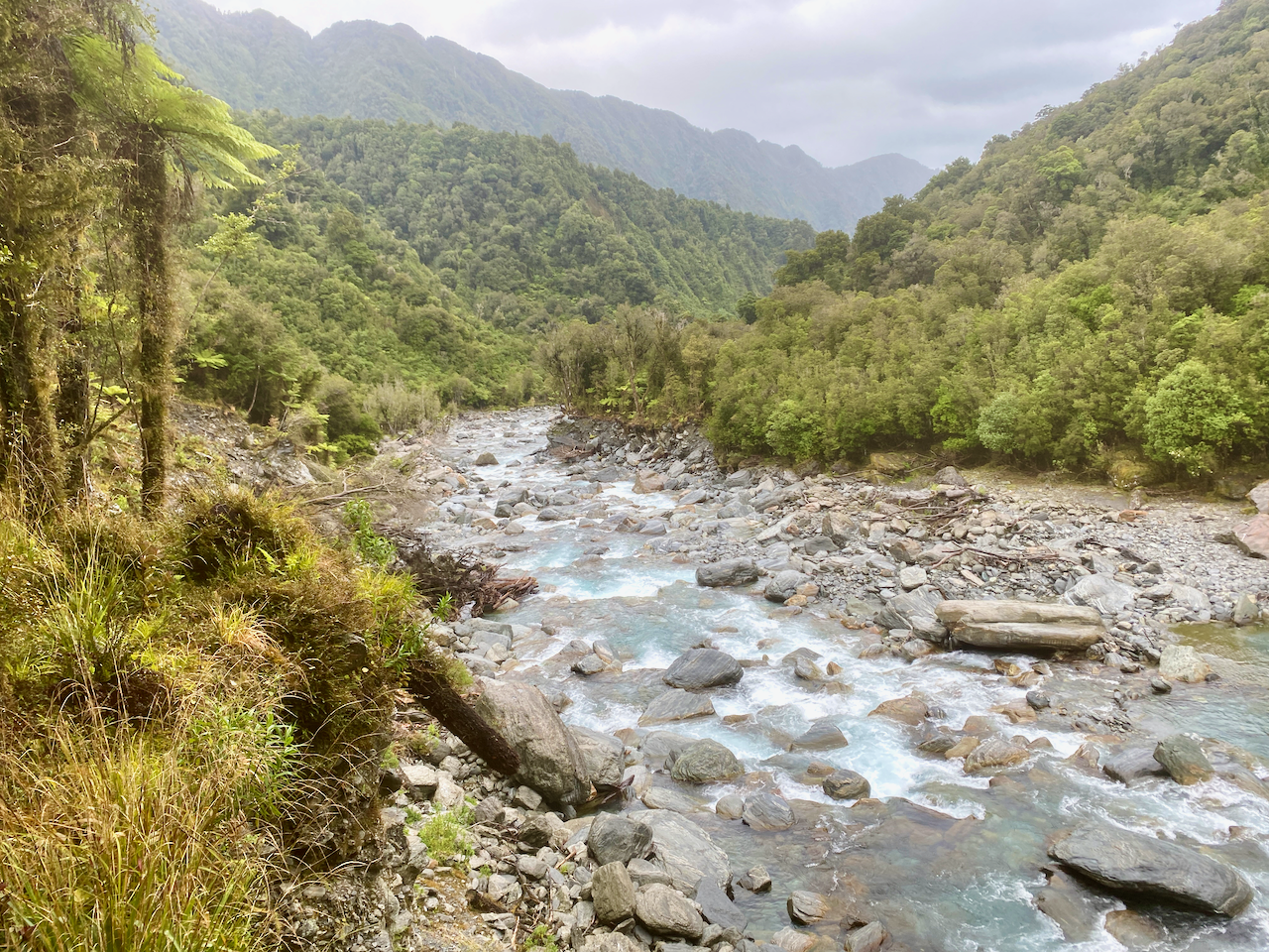
After the warnings, I was nervous about following the creek as I was expecting to spend a lot of time climbing over the rocks in the raging creek as I’d done down Newton Creek. But I found much of the trail was on either side, through the trees and bushes, crossing it several times.

After 45 minutes, I emerged at the Styx River, crossed Tyndall Creek one last time before heading along the top of the bank on the true left side of the river – the left side in the direction it is flowing. I wandered through the forest at the top of the bank for 500m before climbing down a small creek to grassy plains.
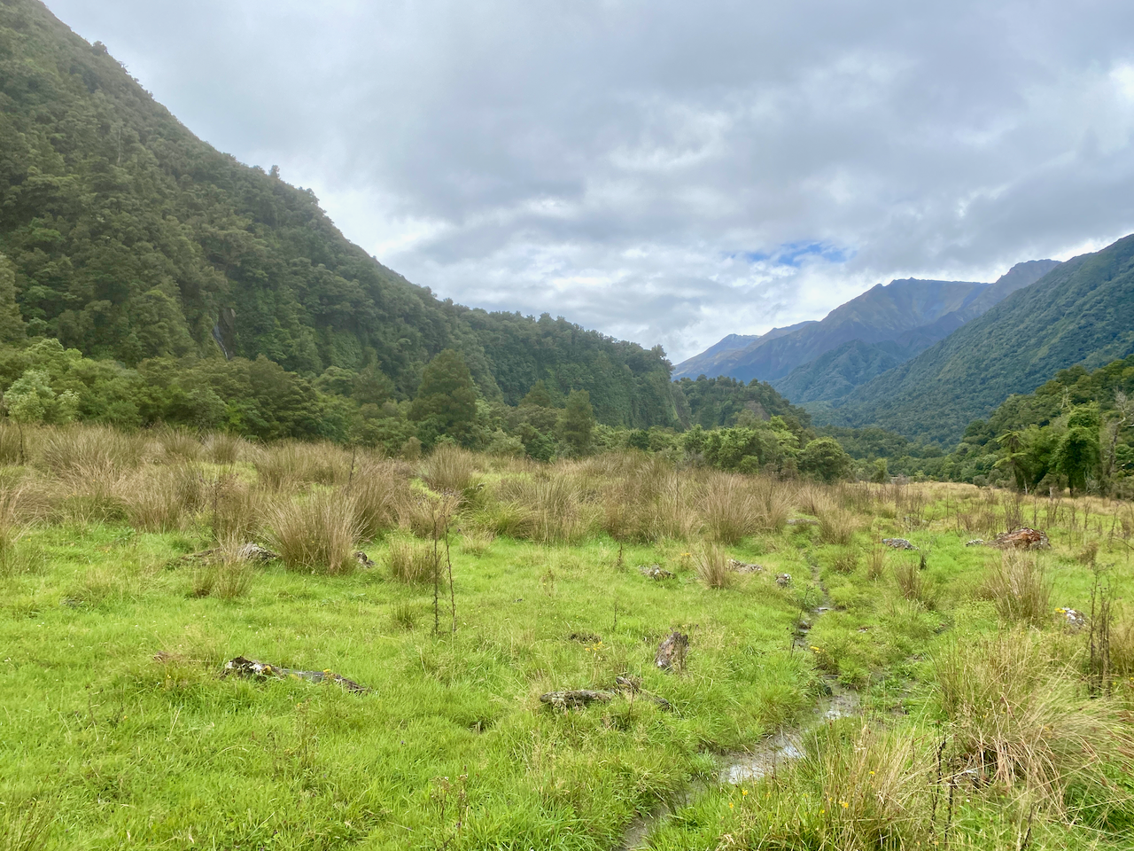
I followed the plains for a kilometre and a half, occasionally diving into the forest. At the last hut there had been a map telling me where I was to cross the Styx river safely and it was near where I’d planned to begin climbing to Brown Hut. But due to the on-the-fly changes I’d made to my walk, along with the weather, I decided to skip this final climb and walk to the car park instead. I found the location the map had said and crossed the river without difficulty, again using my poles to stabilise me. On the other side I found the original trail and walked for less than 100m before the trail ended at a massive rock slide. This forced me to cross the river again. And again, it wasn’t difficult. Then another kilometre along, I saw a marker on the far side of the river so crossed a third time and found a 4 x 4 track.
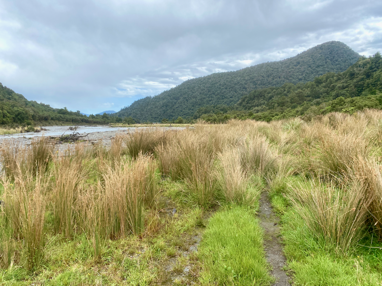
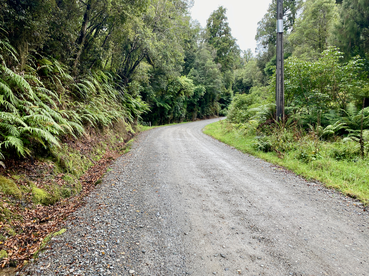
I followed this for nearly a kilometre before finally emerging at the carpark. I knew if I stopped for any length of time the sand flies would feed, so I began the walk to my campsite hopeful that I might be randomly picked up like I had been on my road walk on day 6. The walk along Dorothy Falls Road to the campsite was about 6 km.
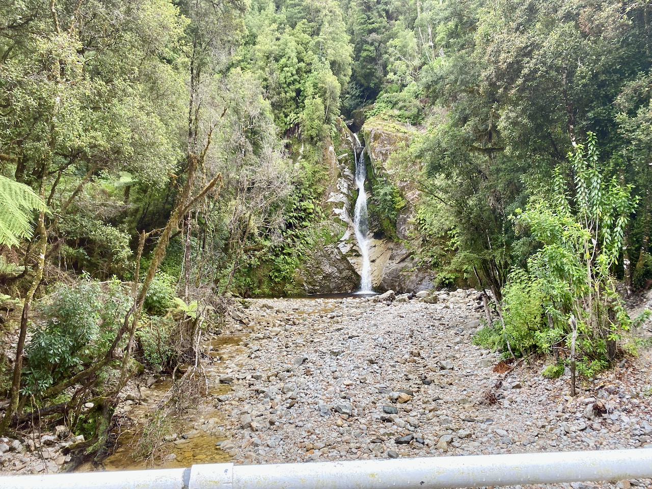
The road tracked through the forest for a bit, climbing here and there before passing the falls.
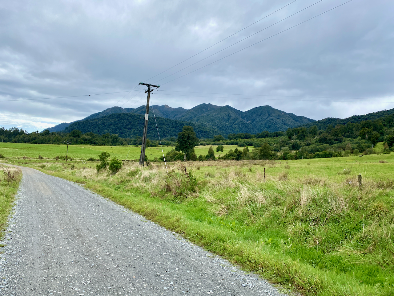
It rained on and off but not heavily as I passed some grazing fields with views of the mountains. I was passed by about a dozen vehicles from cars to large RVs, but no-one offered me a ride. Note, I wasn’t trying to hitch, just wondering if anyone would kindly offer me one.
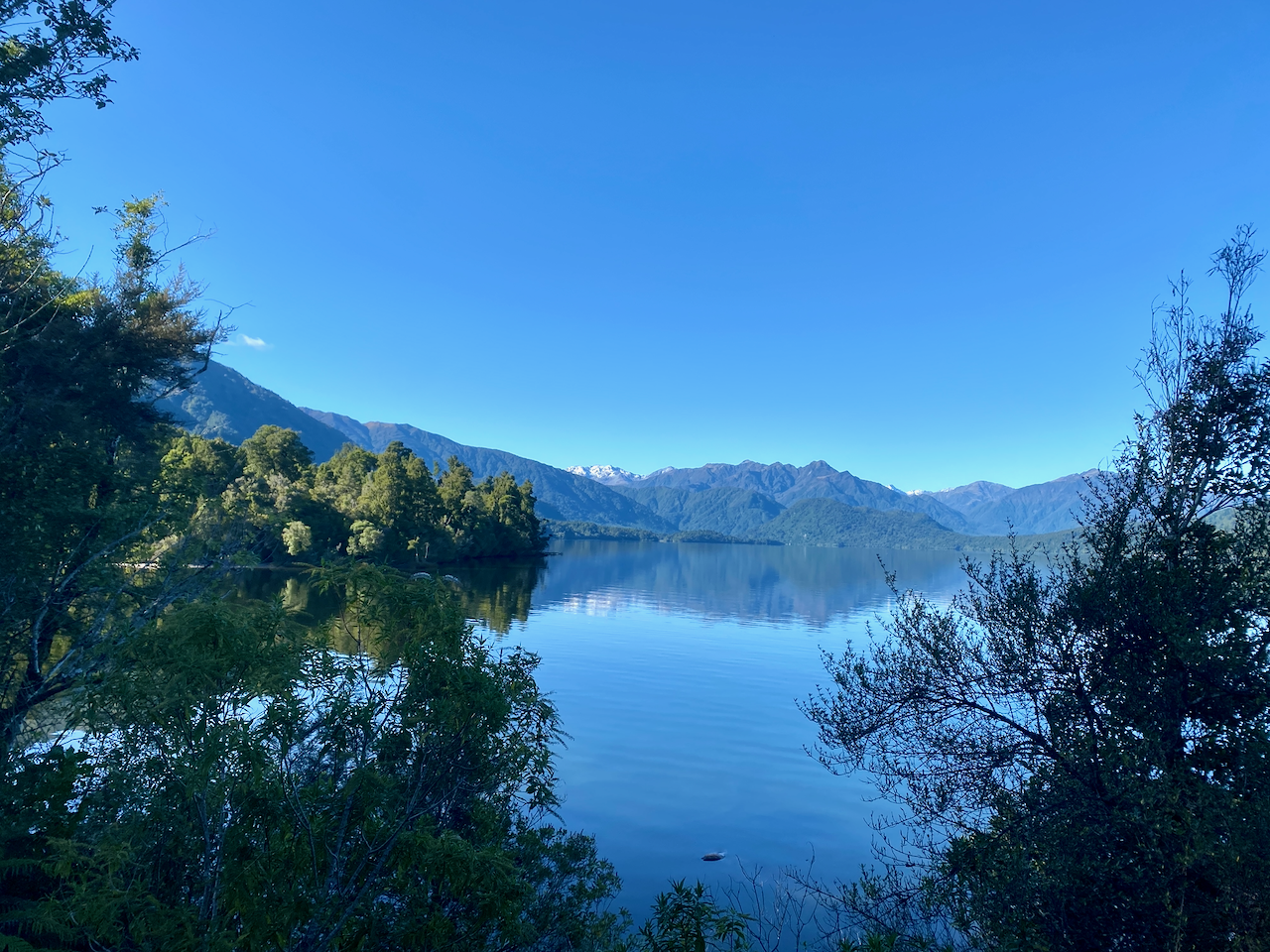
My first sighting of the lake was half way along, a narrow gap of water with mountains on the far side.
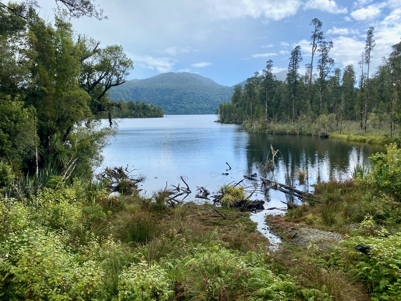
The road the road weaved through more forest to emerge beside the lake. I walked the final couple kilometres as the road turned from the stones to tar seal and I knew the campsite was near when I rounded a corner to see a large cell tower.
I found the camp and walked around looking for a spot away from the RVs, of which there were plenty, and pitched my tent. This was the first I’d used it in the 12 days I’d spent walking. While it’s only light, the items I’d carried only to use on this particular night would come to 2.5 kilos more than 10% of my pack weight. When set up, I relaxed in the sun, drying clothes and boots while reading and catching up on everything I’d missed online over the past 6 days.
Day 13 – Hans Bay Campsite to Hokitika Central – 21 km – 1 hours – Red
I shouldn’t really include this day in my walk, as I decided not to walk the three hour trail along the ridge, instead trying to hitch a lift into Hokitika. It was a little cold over night in my tent as I’d gotten used to sleeping in huts with a fire. After having breakfast and packing, I set out along the road, putting my thumb out for the first time. I worked out it would take me 5 hours to walk the 21 km to Hokitika and was more than happy to walk if no-one picked me up. A handful of cars passed me before the end of the lake.
I then headed along Lake Kaniere Road – which sounds like you are saying Lake Canary – and had walked a total of 3 kilometres before a van pulled over to pick me up. A tour operator had just dropped a host of people off near the lake to ride bicycles back to Hokitika. We chatted the 20 minutes to the town, but as it was too early to book into my accommodation, he took me on a tour of the town.
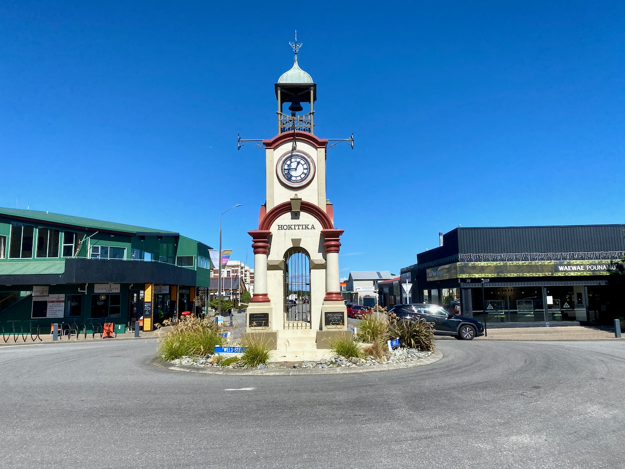
Afterwards he dropping me off at a laundrette that he owned where I did all my washing and lay me tent out to dry in the glorious sun. When all was dry, I headed into town for lunch and then to my accommodation.
Overall
The thirteen day walk was different than I expected. I didn’t expect the first 6 days to be so flat along the Harper Pass, or that there would be so many TA walkers, but it was a good build up to being on a long term hike. In turn, I was expecting the second part to be more rugged and peaceful with big climbs and long descents, but it was more brutal than I expected. I’m glad I chose to take an emergency beacon this time just in case although thankfully I didn’t need it. I enjoyed my walk, but the overall most exhausting part was the rain, which overall made the trek less fun.
I do chalk it up as an achievement, crossing the large set of mountains in the country I grew up in, and marks the end of a year of walking in New Zealand.
Until next time,
The Lone Trail Wanderer

I can’t get over how beautiful this is! What an adventure. I couldn’t imagine doing this, but I love the images.