In late February 2023 I embarked on my longest walk in New Zealand, 13 days across the Southern Alps of the South Island. Go back to Days 7 – 8 or to the beginning Days 1 – 3.
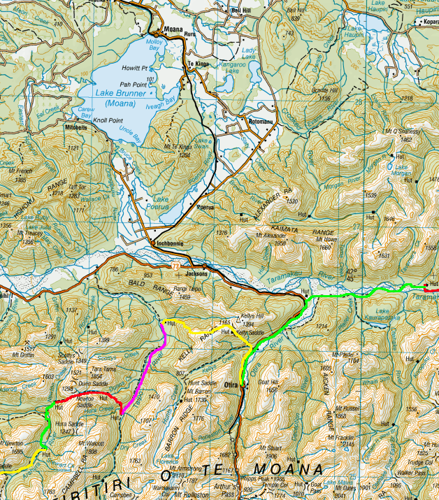
Day 9 – Mid Taipo Hut to Newton Creek Hut – 6.9 km – 11 hours – Red
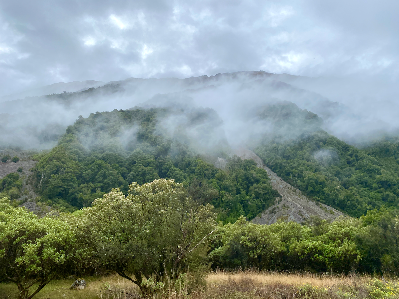
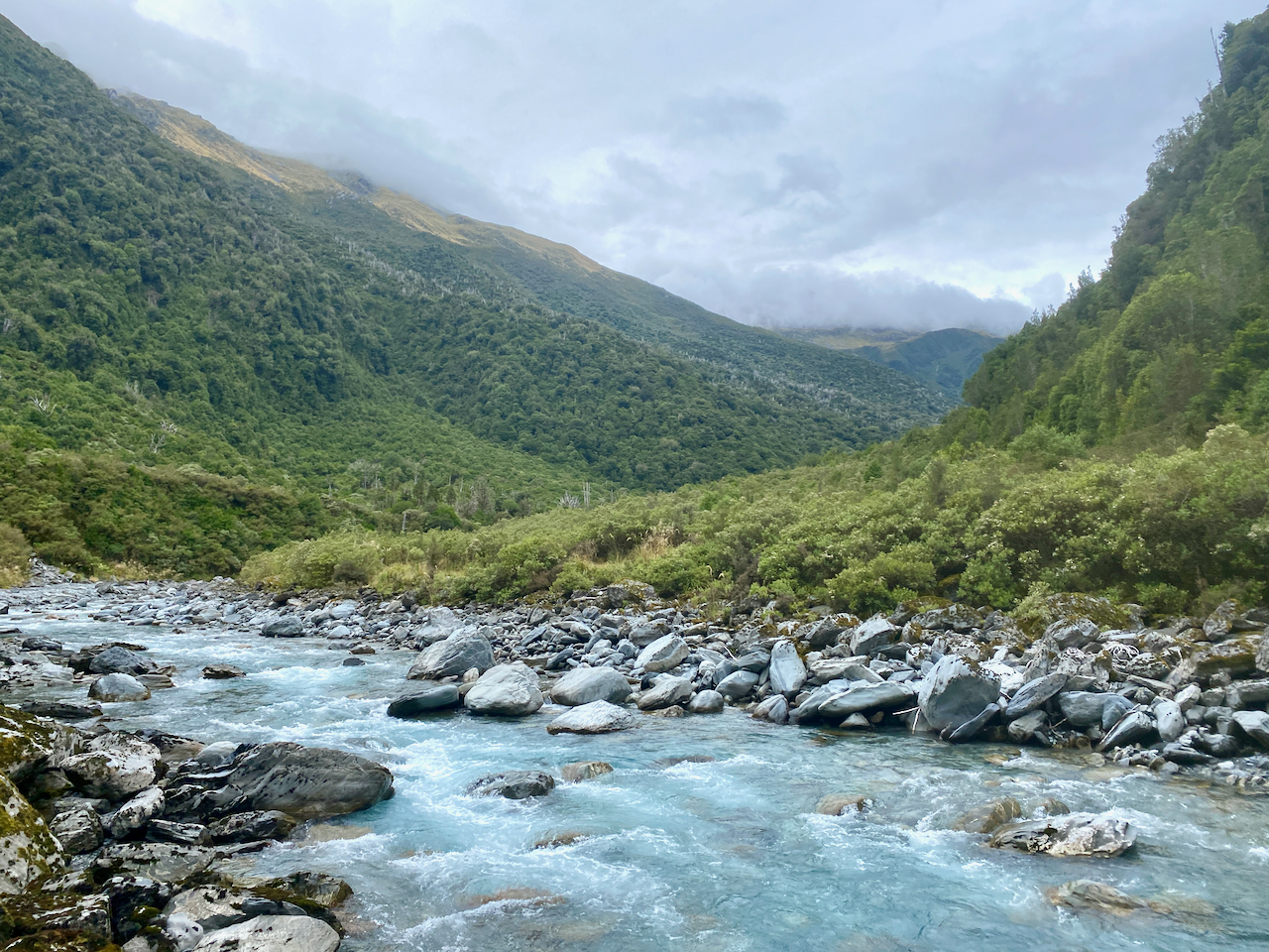
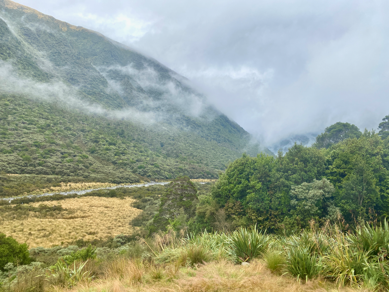
It had rained a little overnight and as today would be a long difficult day, I wasn’t pleased that everything would be wet. Clouds hung atop the ridges, and I hoped they’d blow over. In the hut were instructions to get to the beginning of today’s climb, so I followed them back to the turn off and easily found the trail leading up the mountain.
While I’d been told the trail would be steep, it wasn’t as bad as expected. I’d imagined the climb from yesterday after the three war cableway, just much longer. But it turned out to be a moderate climb, fairly constant up rocks and roots only damp from the overnight rain.
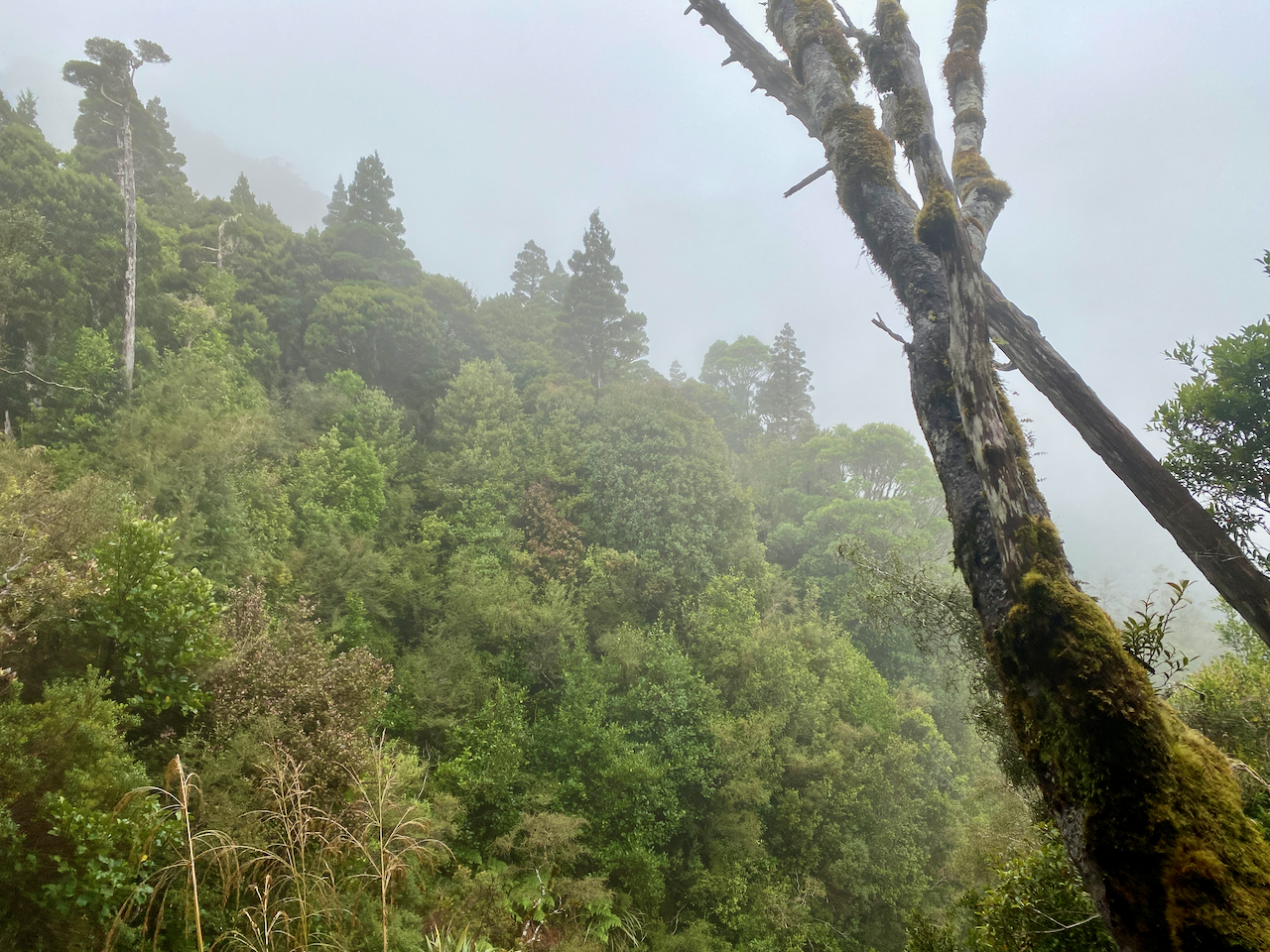
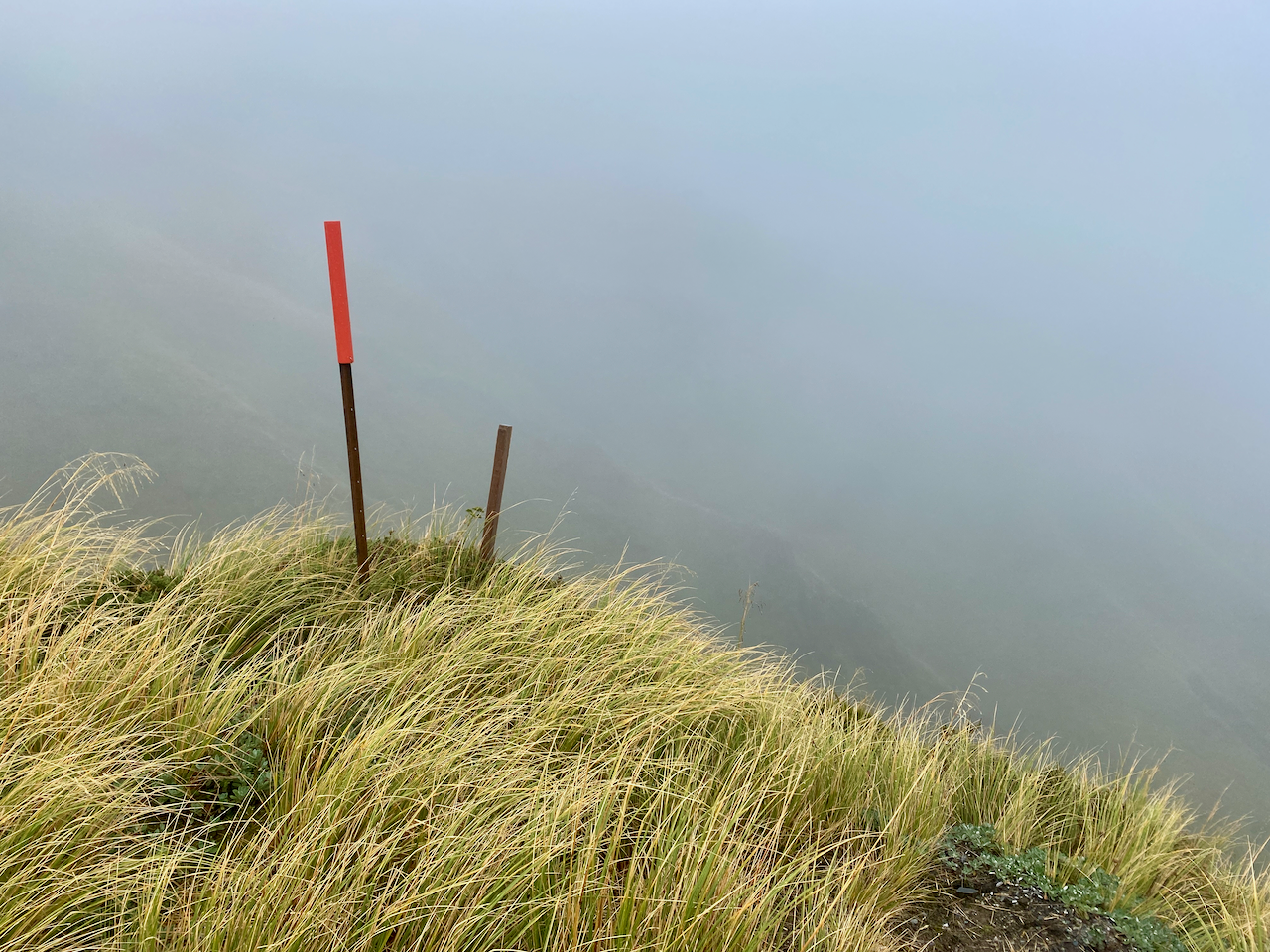
And, after 90 minutes I popped out at the top amidst the mist.
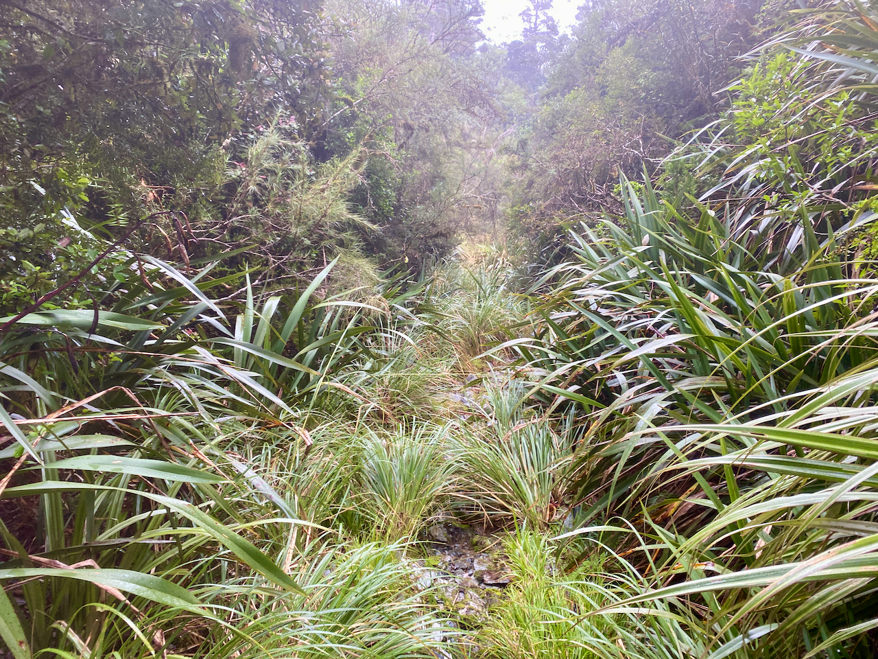
The sign at the bottom had said 2 hours to the Dunn Creek Hut, but it took another hour to make my way through wet flax and vegetation.
A couple of wet stream crossings and I crossed a marshy, grassy mud patch leading up to hut. It was in better shape than I’d expected, but the heating had been removed and I’m glad I’d decided not to stay there. I took my boots off, brewed a coffee and ate some lunch.
Half an hour later, I headed out again across the boggy grasslands following the trail markers.
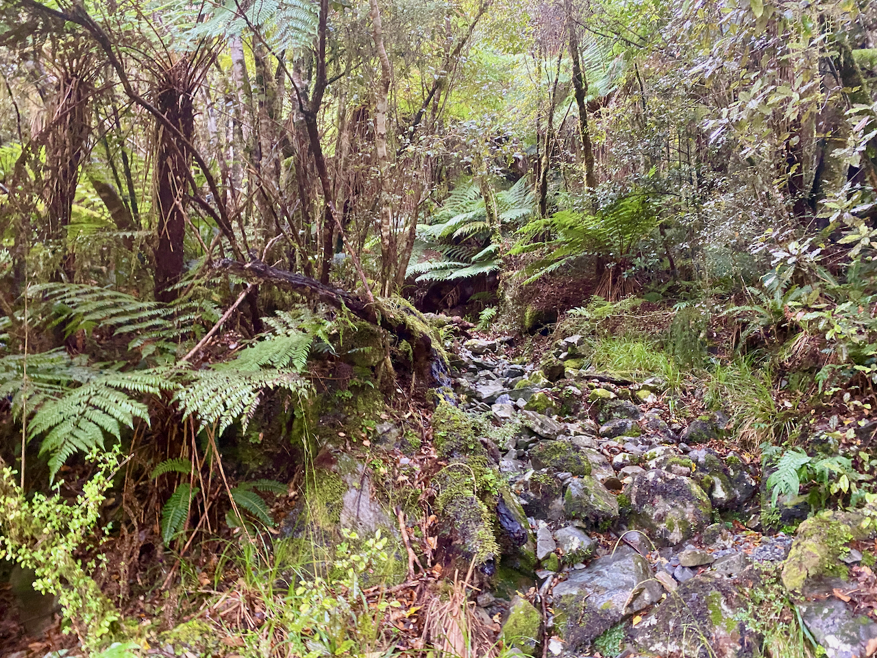
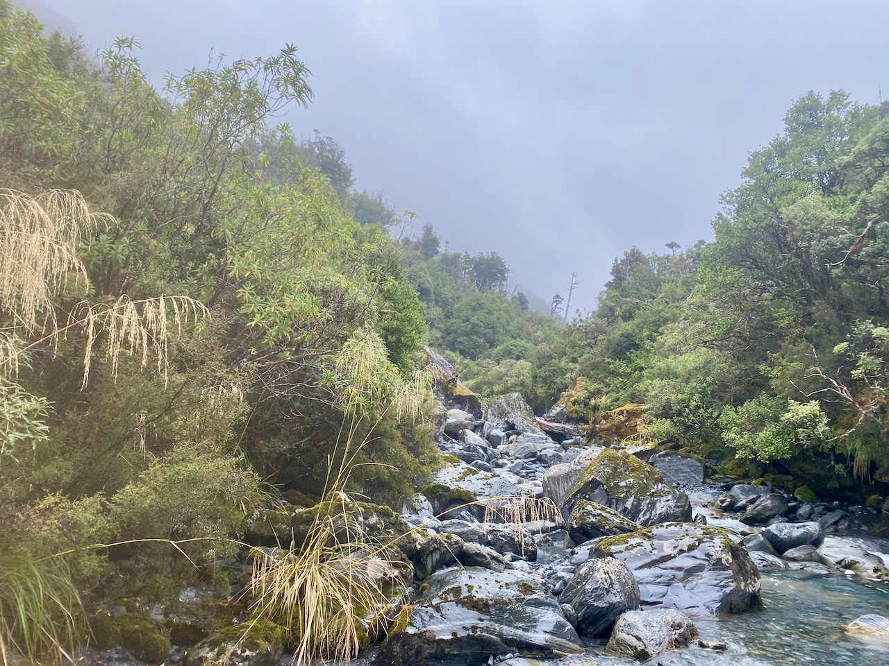
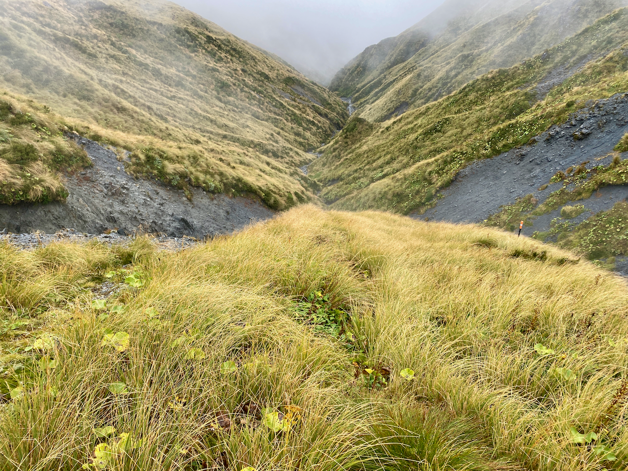
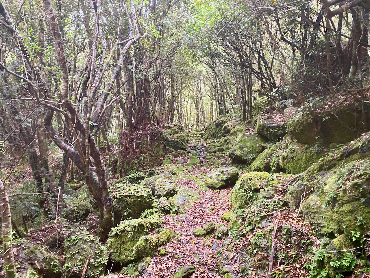
Much of the climb to Newton Saddle was up Dunn Creek, and it was pretty lively as I went. The trail pushed up the centre of the creek over wet rocks and wasn’t very pleasant as it was slippery and slow as I tried to ensure each step was stable. Thankfully over the hours I climbed, the creek grew thinner. At one point I must have climbed up the wrong rocky gully as lost sight of the regular orange markers. My GPS confirmed I was off track and I was forced to bush whack my way across the grassy mountain slope until I saw the correct creek with the markers. Going down would have cost me extra time.

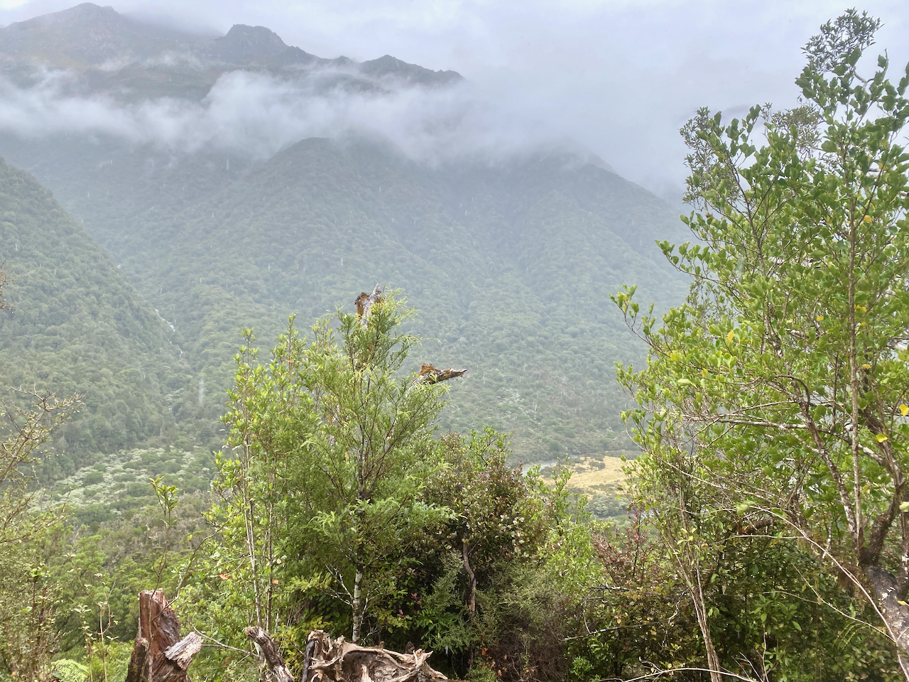
I was mostly dry as I walked, but the occasional gust of cold wind from across the saddle was pretty miserable. I saw the markers go up the very steep side of the grassy bank away from the creek, and I knew this was the final climb to the saddle. It was hard going. I couldn’t use my poles, so let them dangle from my wrists with the straps. Each step was finding a footing and dragging myself up by the grass, bit by bit until I got 30 metres from the top when I could again use my poles. I finally got over the top and looked down to regard where I came from…
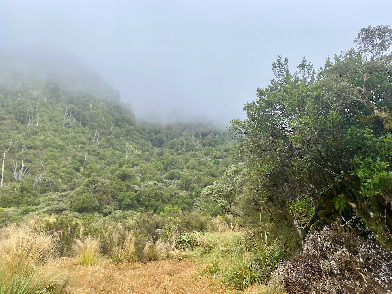
The hundred or so metres across the saddle was fairly flat and it felt good to not have to climb. I stopped at the top of the descent and looked down.
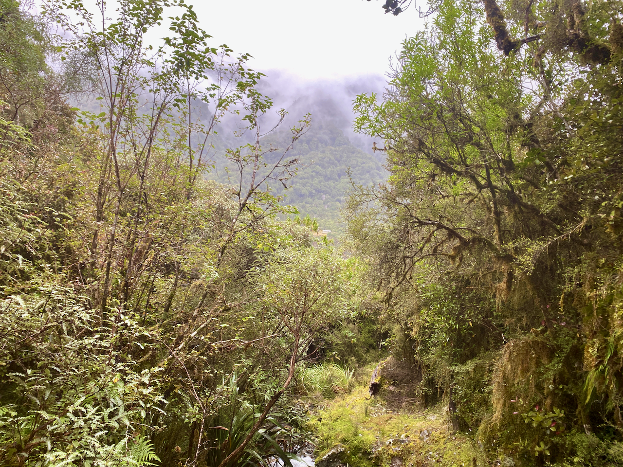
The climb down was the opposite of the ascent. It was easy going at the top, trickles of water in the rocks, but as I went it got thicker and heavier the trail going down the centre of the Newton Creek. I descended into the mist which grew bright from the occasional ray of the sun, only to fade again. With several other water flows joining the creek it got heavier and the rocks larger. I slipped several times, catching myself on my poles, bending them slightly under the strain. Sometimes I had to let go of them and catch myself on my arms in the water. I don’t remember bashing my ribs, but perhaps coming down hard on my arms caused bruising on my left side. It didn’t affect my walking, or carrying, only turning over at night. I had scratches and bruises down much of my legs and again wished I’d brought the full length gators.

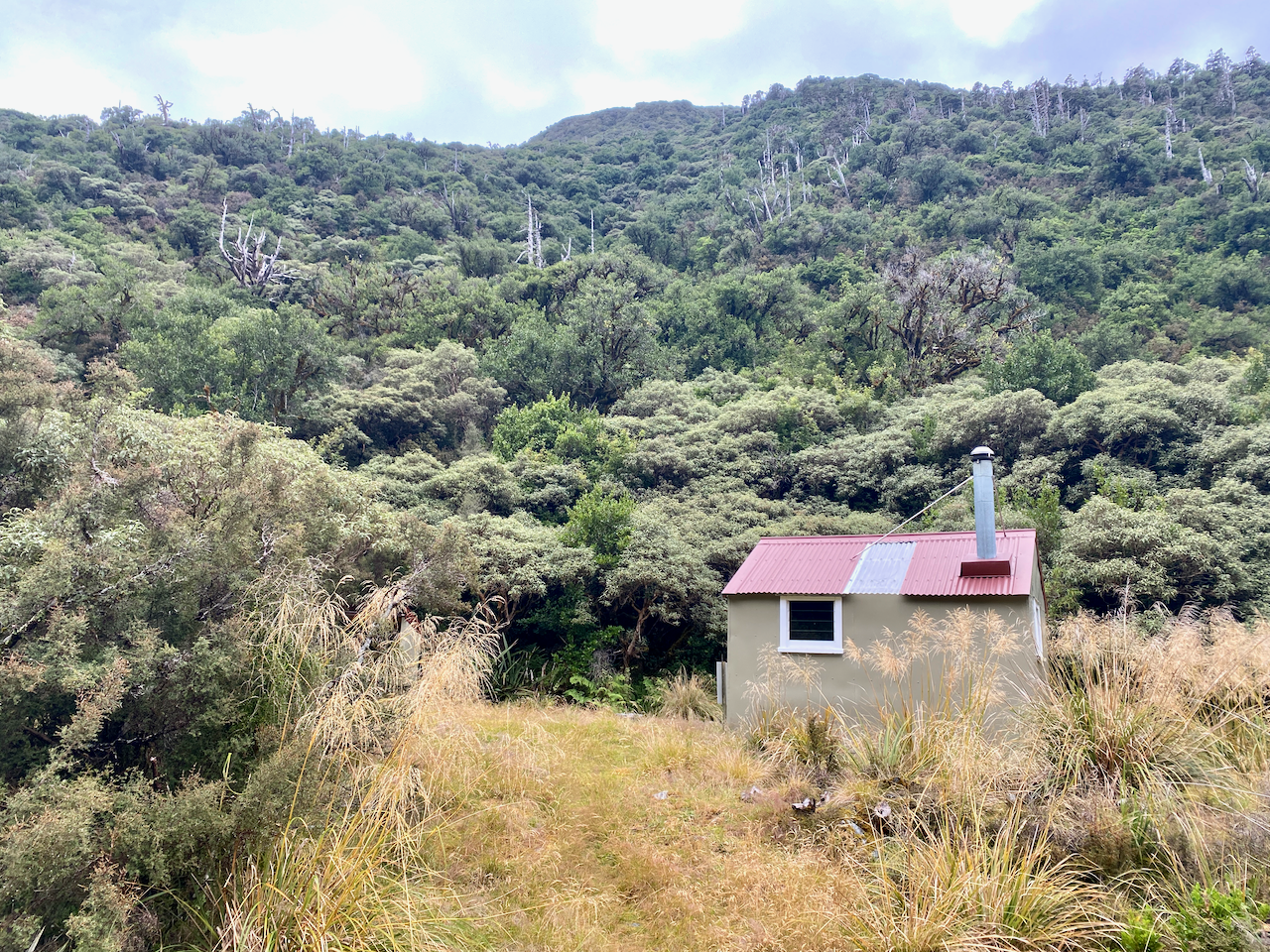
The day was getting on and I realised I wasn’t going to make it to the hut I’d originally planned to stay in. There was another, closer one, so I decided to walk there. But again, because I hadn’t preplanned it on my digital map, I had to guess where it was. And at 7:30 pm, I was also starting to worry that I was losing daylight. Based on where I thought the hut was, I’d likely be walking in the semi dark with my head lamp. Thankfully I train for endurance, so even though I’d been going for more than 10 hours, I still had more in me. Another large creek joined the Newton Creek, making it just too wild to be rock hoping in a raging river. Thankfully the trail finally cut along the side for the first time during this descent. Then, as I followed the trail, I came out onto a grassy patch and looked over to see a hut. I wondered about there being another hut not shown on the map, but went over to it and it turned out to be the hut I was looking for and hour earlier than I predicted. The sense of relief was unimaginable. I set about getting out of my wet gear, having a wet wipe ‘hikers’ shower and getting into warm clothing. I topped up my water for the next day from the river, set out all my gear before getting the fire going. I cooked some dinner and just stared into the fire for what felt like hours.
Day 10 – Newton Creek Hut to Mudflats Hut – 5.1 km – 3.5 hours – Green
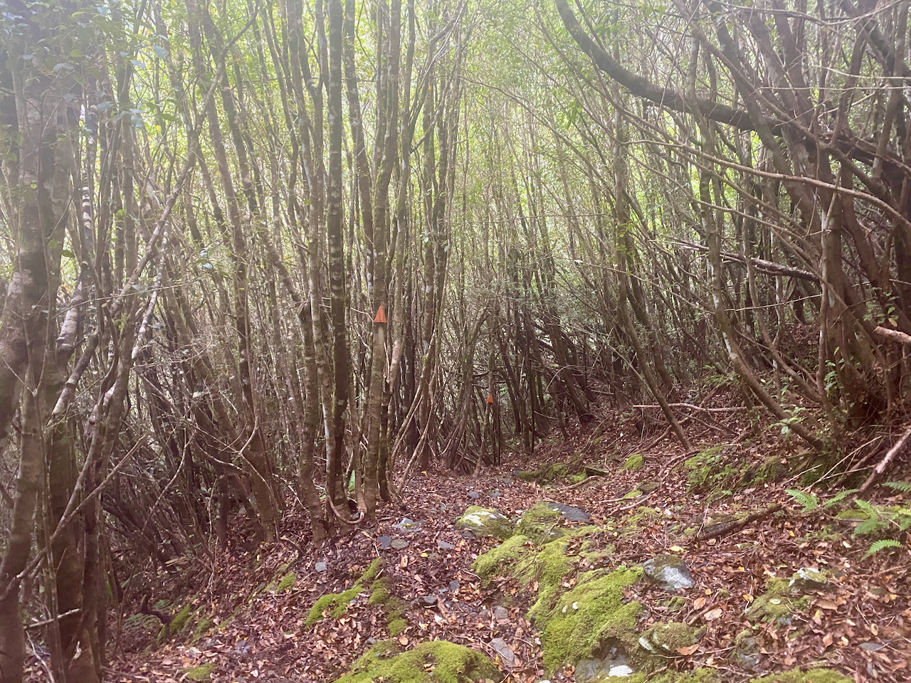
After belting myself around yesterday, I woke somewhat refreshed and ready to continue my trek. I packed up and headed out into the wet morning grass. The trail continued through the woods beside the raging river and it wasn’t long before I arrived at the 200m descent I’d been expecting last night. I’m glad I didn’t have to do it in the twilight or the dark, the slippery roots and steep trail was slow going as I had to be careful of every step. Half way down there was a grove of thin trees giving me something to hang onto as I descended.
I finally got to the bottom after an hour and came out at the Arahura River, which I stood little chance of crossing. But, according to the map, around the corner was a triple wire crossing, so I began rock hoping along, careful on the slippery boulders. Then, it began to spit, heralding in the rain.
There was a small climb up to the wire bridge, but according to the map the other side was going to be a bit of a bush whack as I climbed to a trail. But, I found that the trail had changed, and straight from the end of the bridge it began to climb. It wasn’t as steep as the earlier descent, and got my blood pumping. At the top of the climb the trail went both ways and was quite wide.
I figured this would be a brief patch of wide trail, but was pleasantly surprised. For several kilometres, the trail stayed wide and flat. Perhaps this was part of an old settlers trail and had been around for many decades, maybe even from the 1800s, with only the occasional stream crossing that was a little rocky. It continued to rain, but there was a fair covering, so I wasn’t affected too much. I also got views of the grassy river plains below.
Then came the descent along a small stream heading towards the hut, and while I’d planned to walk further today, the constant rain was bugging me, so I decided after the extreme day yesterday, I’d get to the Mudflats Hut and call it a day.
The trail down wasn’t hard and I emerged at the base of the mountain on the wet grassy plains in the rain. I crossed a long wire bridge and crossed more grassy lands before I was forced up a steep climb where I came out at the hut. The rain was still coming down, so I ducked inside and got prepared for the night, a hiker’s shower, a change of clothes, collecting for firewood etc. I’d been there two hours in the ongoing rain when I heard footsteps outside and a slight German girl appeared at the door. She’d come along the river I was heading up tomorrow. We chatted for a couple of hours as I lit the fire before I got on with my evening.
Next, the final part, Days 11 – 13 of my Southern Alps Crossing.
The Lone Trail Wanderer
