Today was my second day in the Bunya Mountains and after sleeping the night in my van, I was up early and preparing for two 4-hour hikes followed by a 3-hour drive home.
Today’s hikes run into each other at the Cherry Plains Lookout and could be combined, but I chose to separate them and stop for lunch in between.
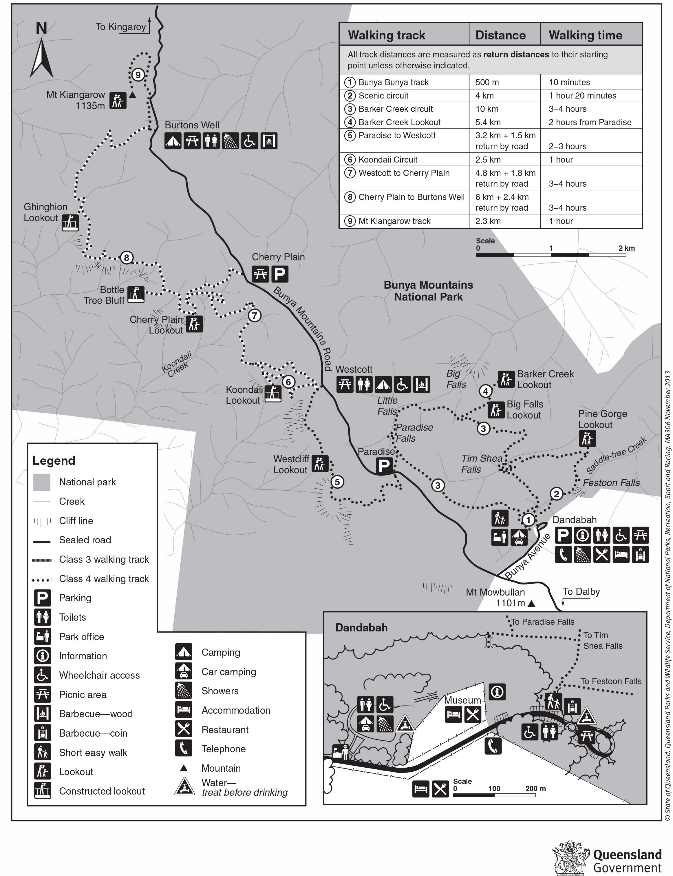
Map is owned by and used with courtesy of Queensland Government. Please visit that site for more detailed information on hiking in this region.
Westcliff and Cherry Plain Lookouts – 11.4km
This hike begins at Paradise Carpark, an area I came close to on yesterday’s hike past Paradise Falls. Yesterday’s hike was on the northern side of the Bunya Mountains, today’s hikes are both on the southern side.
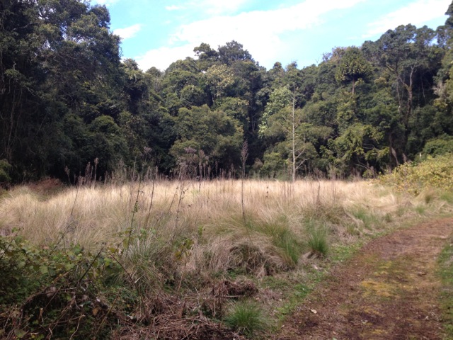
The walk began in a forest similar to yesterday’s. I quickly came to a place called Little Pocket, a small glade in the middle of the forest. It would make a great place to camp or for a picnic.
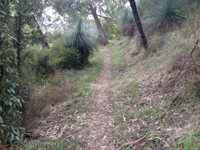
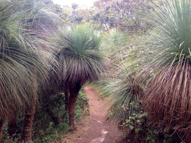
The trail continued on the other side of the pocket with many ferns growing on either side. The trail meandered through the forest with the typical sound of the whip birds singing to each other.
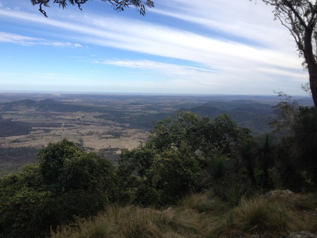
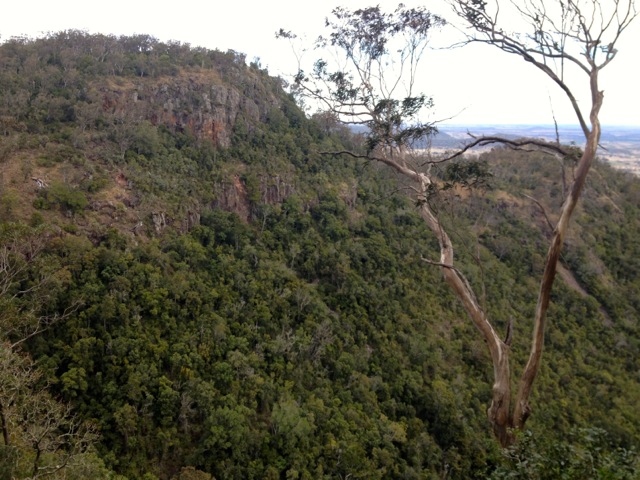
A slanted, tree laden cliff face dropped away on my left giving vegetation obscured views of the plains to the south heading to Toowoomba. I soon arrived at the Westcliff Lookout which gave me clearer views of the plains.
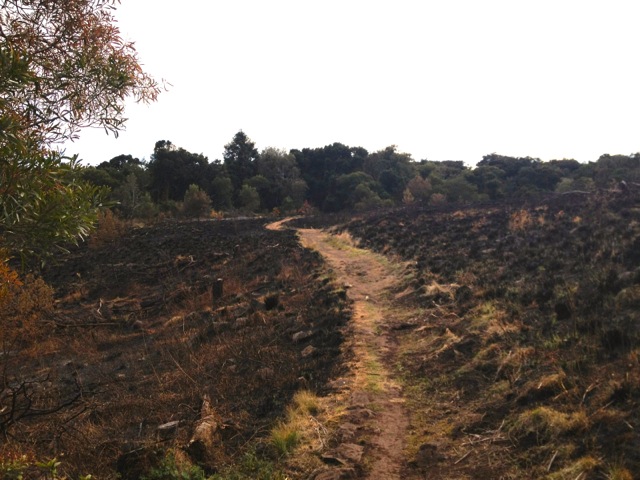
I walked back into the forest and eventually came to a burned area with new green shoots. The land is hardy and while I think this was burned as part of Queensland’s back burning campaigns for the dry summers, it’s always amazing to see the new green shoots pushing up through the blackened ground. At the far side of the of the area I emerged into the Westcott Camping area where I’d spent the night.
I continued along the trail and headed downhill towards the Koondali Lookout and then on to the Valley View Lookout. Both gave the same sprawling views to the south.

The trail led back into the forest, but this time the vegetation along the sides had changed. The ferns had been replaced with the sharp spiky leaves of stinging nettles and cacti. I’m glad I wore long pants today! The trail eventually winds its way back towards the road. So far much of the walk had been fairly flat or slowly heading down, not what I expected in the mountains.

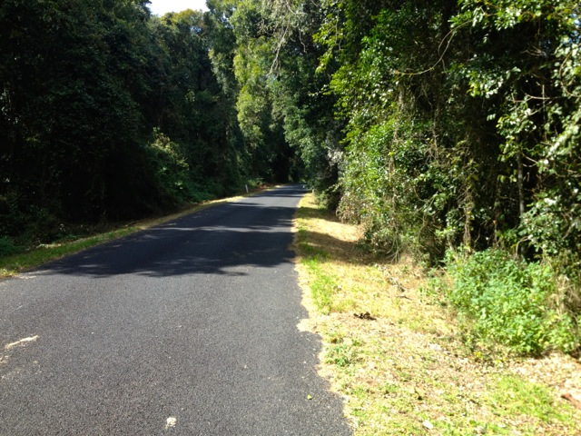
When I got back to the road, I followed it towards Paradise Carpark, some 3.5 km away. This turned out to be the hardest part of the hike as the road climbs steep hills directly to the carpark. The trail is suggested to take 4.5 hours, but it only took me 2.5.
Mount Kiangarow and Cherry Plain Circuit – 10.7km
I drove from Paradise Carpark to Burton’s Well Carpark and stopped for lunch. I then set out along the trail which quickly came to a junction at the bottom of Mount Kiangarow, the tallest mountain in the National Park. While it didn’t take long to climb the 1.1km trail, it was actually nice to be climbing something, albeit rather gently.
At the top the lookout is rather small with only a slim area to view from. A little disappointing, but you often get that.
Back at the junction I headed south and then east along the cliff line. As per the end of the last hike, the vegetation at the side of the path was mainly nettles around the trees. The path again headed downwards, this time a little more apparent than earlier today.

The Ghinghoin Lookout gave the same views south as much of the other lookouts. The trail then began to climb, not harshly, just long enough to keep the body working. While walking around the edge of the cliff, a bluff came into view and I could see a lookout platform on it. It was not a harsh climb, but after 16km of walking today my legs were starting a quiet burn.
The lookout was surprising easy to get to and I sat for a moment to give my legs some time before heading back up along the path. My last stop before the road was the Cherry Plain Lookout which was overgrown and I wasn’t sure exactly what I was looking out over.
The trail then joined the one I’d walked this morning and made its way for 1km to the road. This time I only had 2.4km of road to walk but again it was the steepest and hardest part of the hike.
I arrived back at the van ready for my trip home.
Overall, the Bunya Mountains are a beautiful place to walk with greatly varying vegetation depending on which side of the mountains you are on.
Next weekend I’m heading off to Crows Nest National Park.
The Lone Trail Wanderer
