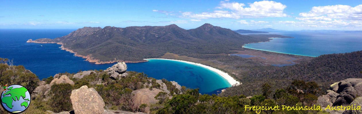
This week I took my hiking group into the Green Mountains section of the Lamington National Park. I’ve done several walks in the Green Mountains including the Gold Coast Hinterland Great! Walk and the West Canungra Creek Circuit. There are many walks in this national park and I was looking for a less intense one for the group.
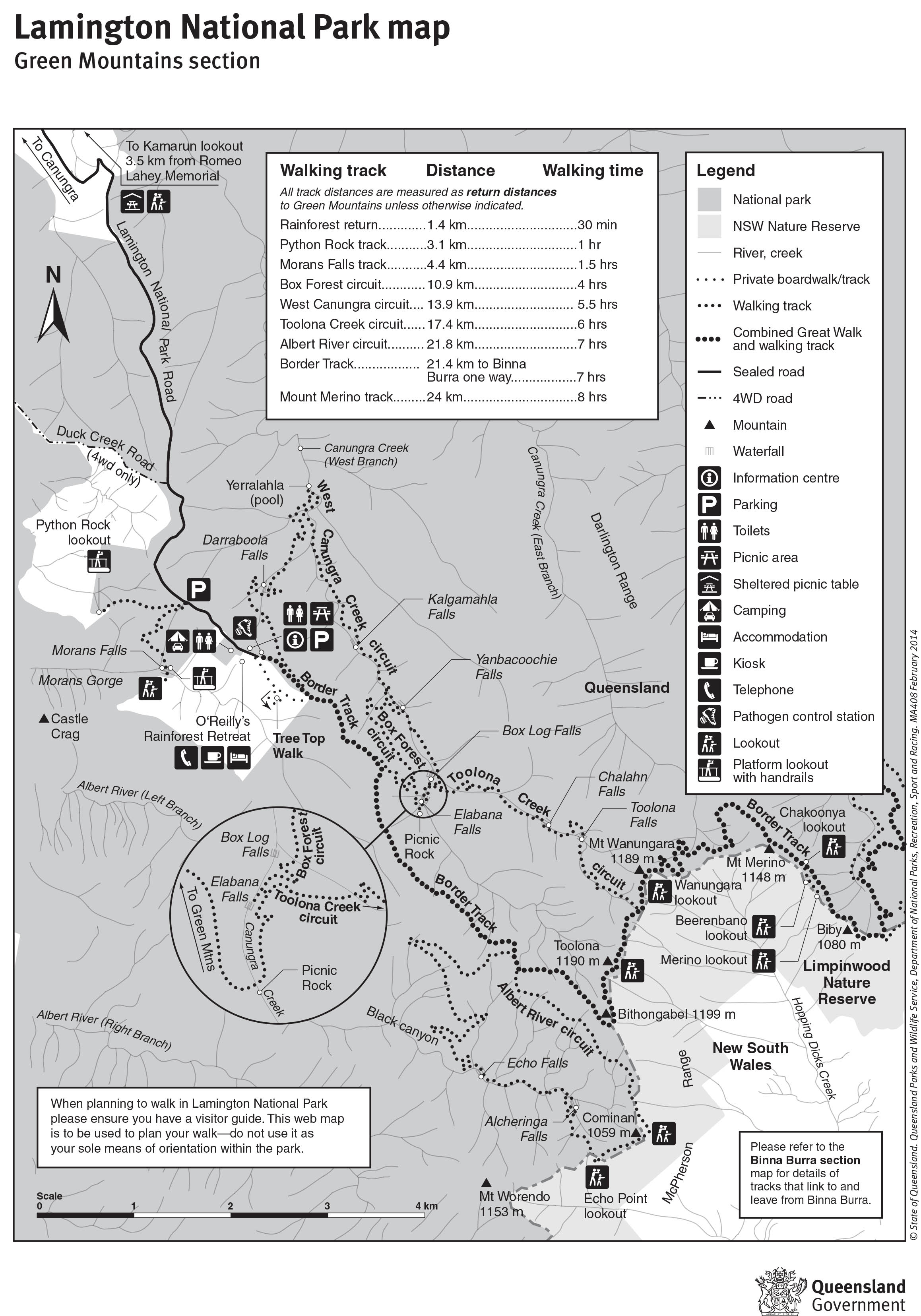
Map is owned by and used with courtesy of Queensland Government. Please visit that site for more detailed information on hiking in this region.
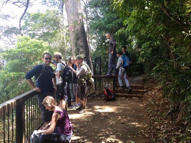
Getting to the start of the hike was slow along the thin winding roads where some drivers could have gone faster if they got out and pushed. Eventually, my intrepid band of 14 set out along the road heading towards Moran Falls. This particular hike mixed a couple of circuits and included a section off-track.
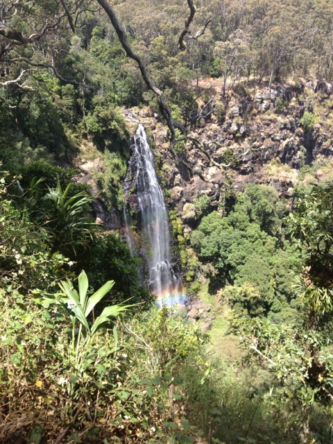
We left the road and headed along a cemented track down the hill for 2km to the Moran Falls Lookout. At the time of writing it hadn’t rained much in Queensland for a few months, so I was hoping there would be some falls to see. But as we came to a viewpoint across from the falls, we weren’t let down. The Moran Falls drop 80m to a small pool and was a pleasant view so early in the hike.
From the falls, we continued around the top of the cliffs buried in trees to a bridge across the creek flowing to the waterfall.

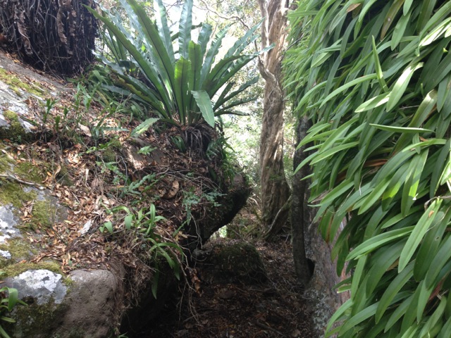
Off-track, we followed the creek…

…to an open area of rock at the top of the falls where we could stand on the rocky ledge looking down to the base of the waterfall and along the valley.
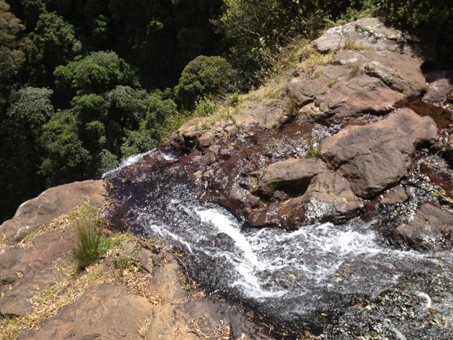
In the background is the mountainous Scenic Rim including Mt Lindsey, Mt Barney and Mt Maroon. While we hadn’t walked far, we decided to stop for lunch.
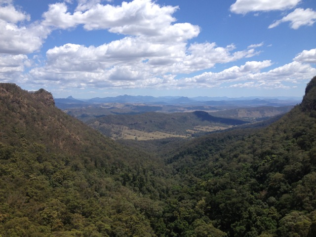
After lunch, we continued along a steep dirt track up a hill. This was perhaps the most difficult part of the day and during this time the group began to break into faster and smaller groups. We continued following the path along a ridge until it opened up on one side to an unnamed lookout.

The views of the next ridge were great, as was the tree-lined valley between the two. We continued along the ridge until we came to the Balancing Rock. It had been cordoned off, so we resisted getting too close.

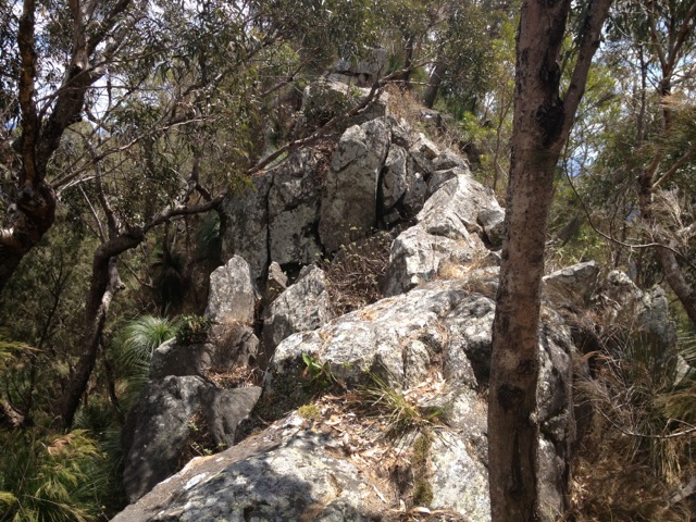
Beside Balancing Rock the track continued along a more precarious part of the ridge. The group stopped at the lookout as two of us continued along the ridge to a protruding crag at the end called Castle Crag, with views in most directions.
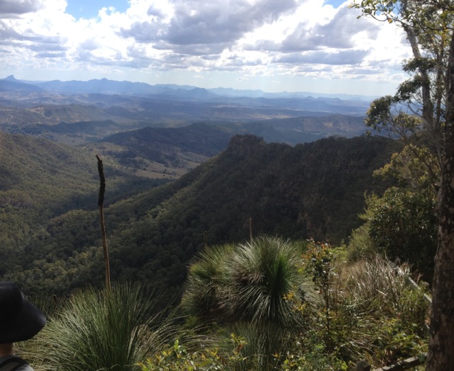
Returning to the group and we continued up another steep dirt road to a large clearing and along a short boardwalk to Moonlight Crag – a large wooden lookout giving us again great views of the mountain ranges and Castle Crag.
Again we continued on, diving into the rainforest along the thin track marked by pink ribbons. As we headed in, the group broke in two, the fast and the slow. The front group walked on to a small grotto known as the Orchid Grove…
…and then on again towards Lyrebird Lookout. Unfortunately, the sign to the lookout wasn’t prominent and we went past it to an open clearing that held the foundations of several buildings from decades before. It was unclear what these buildings had once been used for. We waited for the other group but when they didn’t arrive, headed back along the trail, making our way through the rainforest to an overgrown track and on to a well attended track. A kilometre further on we arrived back at the start point and waited for the second group to arrive. They weren’t far behind, having found Lyrebird Lookout and returned a different way through the rainforest back to the start point.
Overall, the walk wasn’t a difficult one, but it was an adventure with some great views. Next week, however, I take a group to climb Mount Barney, the most difficult hike I plan to do in Queensland. It’s the third tallest mountain in South East Queenland – the tallest being Mt Superbus from our climb last week – and has a suggested time of 10 hours, 5 hours up and 5 hours down. I’m sure my legs won’t be thanking me, but the views should be fantastic…
The Trail Wanderer
