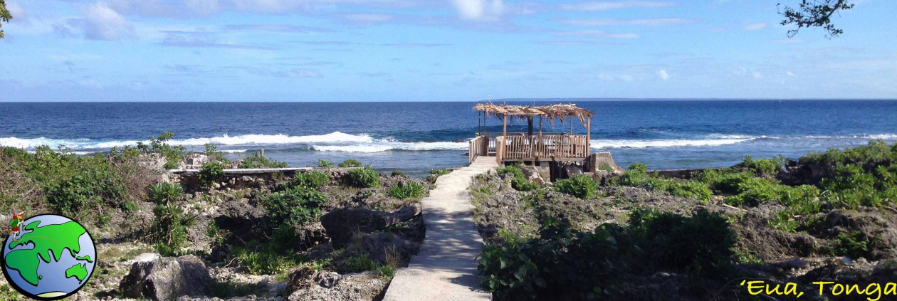
A couple of days after my hike in the Tararua Ranges, I drove to Taranaki for another hike. Like that earlier hike, the weather got in the way, but I still got to walk on Mt Taranaki after trying several times this year.

Since being back in New Zealand, I’ve been planning the Around the Mountain hike in Taranaki. But in February, a wave of heavy rain came over the North Island on the week I was to do it, so I flew to Queenstown and did The Routeburn trek instead. In March, another wave of heavy rain took the entirety of NZ, so again I cancelled it. As the cooler months were upon us, I left it until the end of the year. The Around the Mountain track has high and low trails along most of its length to allow for people wanting different grades of difficulty. However, there are three parts where there is only one option, and during the winter of heavy rain, a slip wiped out the largest of the three, closing the hike indefinitely. So I was left with its baby sister hike, The Pouakai Circuit, which can be done over 2 days, but I decided to split it over 3.

Day 1 – North Egmont Information Centre to Holly Hut
I stayed in a hostel in New Plymouth and on the morning of the hike, watched cloud cover the entire region. I couldn’t see the mountain from the city, but the weather was due to clear up. So, in the afternoon I headed out to the North Egmont Information Centre. Even as I approached the mountain, it was enveloped in clouds. I spoke to the lady at the information centre and watched the repeating weather forecast on their TV.

At 1pm I finally set out up the manicured wooden steps following the sign that said I should be walking that way.

According to the topographic map on my phone, I had about 90 minutes climbing before I met the trail that would take me around the mountain and then another 2 and a half hours until I arrived at Holly Hut. After 30 minutes, the clouds blew off and I finally got a good look at the mountain.
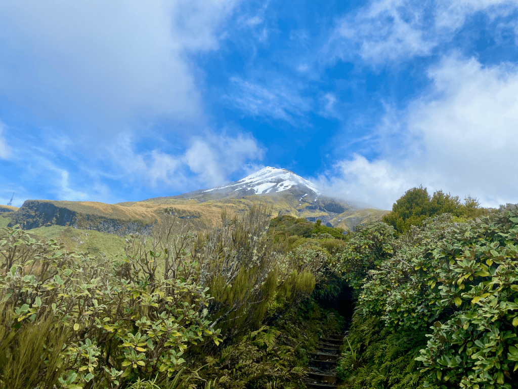
The climb wasn’t difficult and the steps made it easier. After a while, as I pushed on, the steps turned into a stony trail.

The main Holly Hut Trail was muddier with fewer of the wooden steps and more raw rock to climb over. However, beside the trail were pallet sized stacks of wrapped wood dropped off by chopper. It looked like they intend to lay a kind of boardwalk along the track, which would stop the mud and would also make it easier, not to mention more accommodating for tourists. I walked on and eventually came over a ridge to see the Ahukawakawa – the Sphagnum Moss Swamp – nestled in the crown of several lesser peaks.

The muddy trail continued joining a boardwalk for the last hundred metres to the Holly Hut. In the hut were two other walkers, an American girl and a local guy. We chatted and drank Korean alcohol she’d brought with her from the Pouakai Hut the night before. Then when the hut lights came on – solar powered with a darkness sensor – we all retired to our separate sleeping rooms, of which there were three in the Hut.
Day 2 – Holly Hut to Pouakai Hut
The sky was clear overnight and plentiful stars were out and it stayed that way into the morning. The local guy had left early, and the American girl and I ate breakfast and chatted. Then after she headed off, I walked the side trek down to Bells Falls behind the hut. As today’s walk is short – 2 hours – adding an extra hour would give me something to do. I headed out down a less defined track avoiding large puddles and pushing grasses aside to get through. I even got a good view out to the sea in the west.
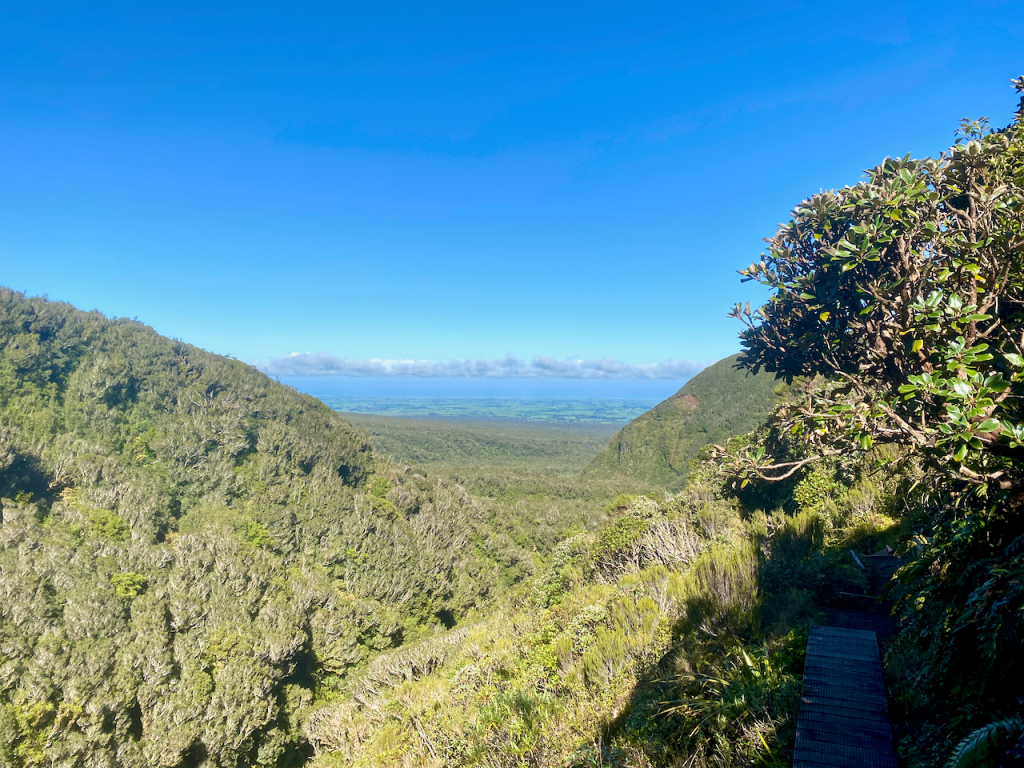
I followed the trail attached to the side of a large mound The Dome, dropping some two hundred metres in height until I came to the junction with the closed Around the Mountain trail. Five minutes later and I was rock hopping across the side of the river to see Bells Falls.
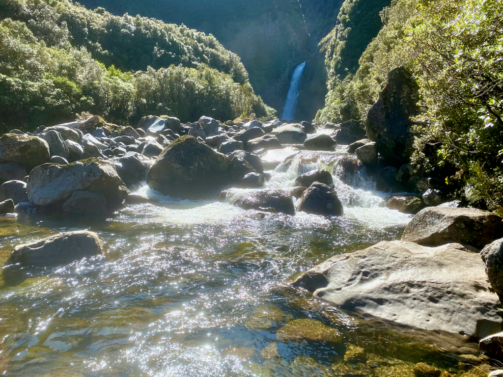
I climbed back along the trail back towards the hut. I had almost arrived when I heard a chopper overhead. When I came out at the hut, there were workmen there and the chopper that had delivered bags of firewood. They were also swapping out the shit crates – the large plastic crates the long drop toilets sit on that fill up with… well, shit, and toilet paper. I had to wait until they’d finished and flown away before I could continue.

I donned my pack and headed off just as two ladies with day packs arrived. I walked the 10 minutes back to the junction and took the route downhill towards the Ahukawakawa swamp. The trail is a wooden boardwalk all the way, and half way down I met a girl sitting in an information booth. We chatted before I continued on.

When I got down to the swamp itself, it was mostly tussock grass. I continued across it and over the Stony River on a footbridge – the river flows to the west where it cascades down Bells Falls. I climbed the hill on the far side on manicured wooden steps and a fair way up looked back to see the Ahukawakawa, the river, the mountain and the little green dot that was the Holly Hut at it’s base.

I pushed on, getting to the top of the ridge and around to a nice rocky outcrop beside the trail where I stopped for lunch. After eating, I continued on behind a large mound poetically named Hump. On the other side, I came to a rocky area with the trail heading down. I followed it for several minutes before arriving at the hut. I chose a bed and dropped my pack. Many groups of day walkers were coming up from the Mangorei Track. They would come across the deck to use the toilets, or go inside and have lunch on the tables. Across from the hut is another mound, this one unnamed. I chose to climb it to get away from the daywalkers and sat looking back at the Pouakai Hut.

Later, an older gentleman arrived, and we chatted for the afternoon. He’d come up from the Mangorei road end just for the night to relive his youth where he’d climbed Taranaki six times. Later an older couple arrived for the night, they’d walked the same route I had, but instead of stopping at Holly Hut had crossed the Ahukawakawa. They would be finishing the circuit the next day with me.
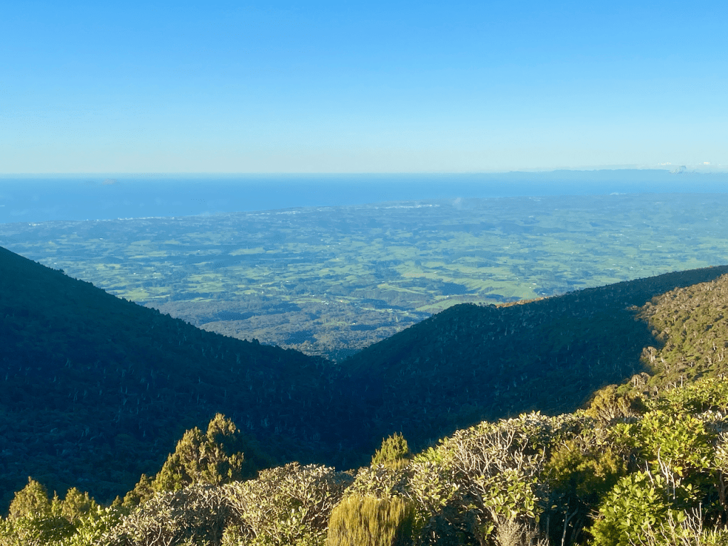
That afternoon I got several shots of New Plymouth when the clouds weren’t hanging low over it.

And even one in the dead of the night.

Day 3 – Pouakai Hut to Mangorei Rd
In the middle of the night, the wind picked up and the clouds swallowed us. When we awoke, visibility was at 20m or so. To finish the circuit, the three of us would have to climb over Henry Peak with the heavy wind gusts. I climbed up to the junction without my pack to check out the situation and found the winds rather strong.
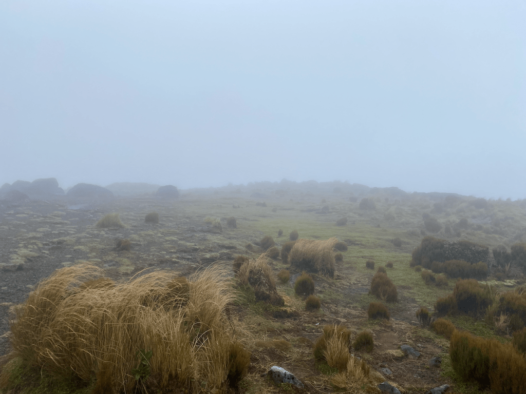
We decided that climbing a mountain without any cover would be dangerous. The lone older guy offered to drive us around to the information centre when we got down, which sealed the deal for the three of us. We headed down the manicured wooden steps for the next two hours.

At the bottom, the lone man’s wife met us with their camper van and were driven to the end. This is the route we should have taken it.
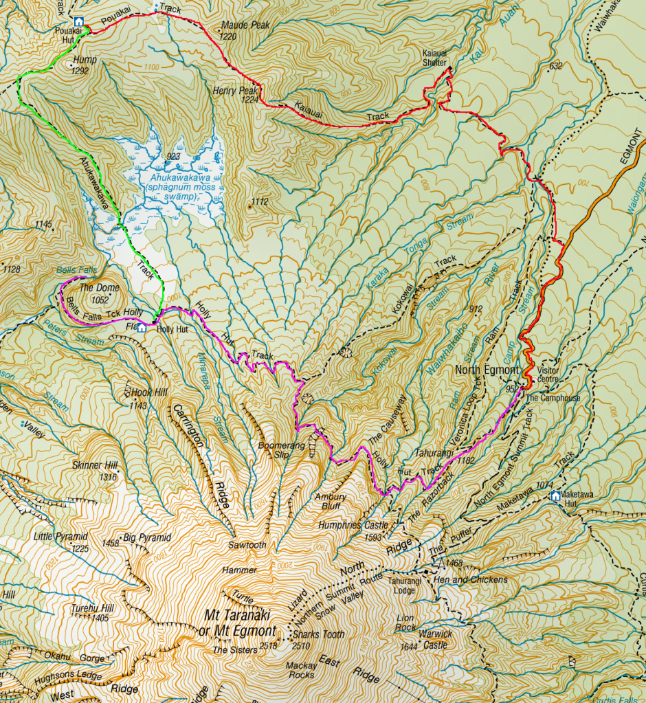
Overall
Without completing the last part of The Pouakai Circuit, I would rate the walk as fairly easy due to much of it being manicured. I do like how they are making it more accessible for tourists and day walkers and I hope they fix the trail for Around the Mountain so that one day I can come back and complete.
The Lone Trail Wanderer
