In late February 2023 I embarked on my longest walk in New Zealand, 13 days across the Southern Alps of the South Island. Go back to Days 1 – 3.
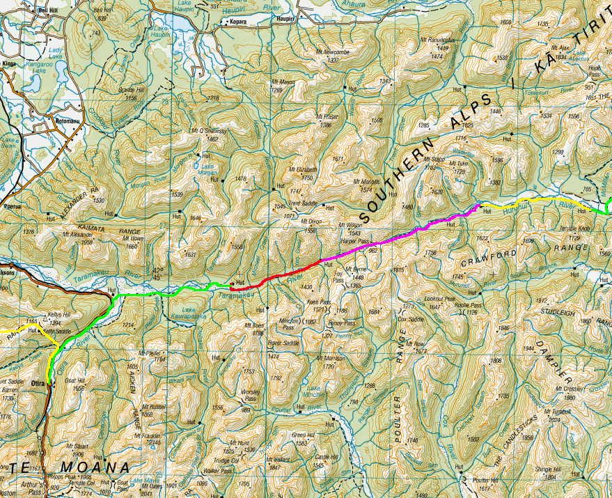
Day 4 – Hurunui No. 3 Hut to Locke Stream Hut – 15 km – 6 hours – Pink
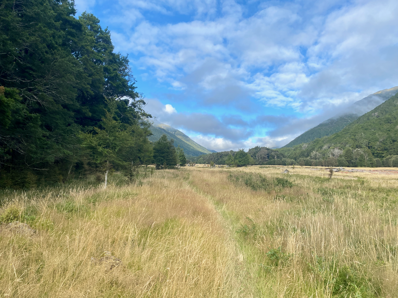
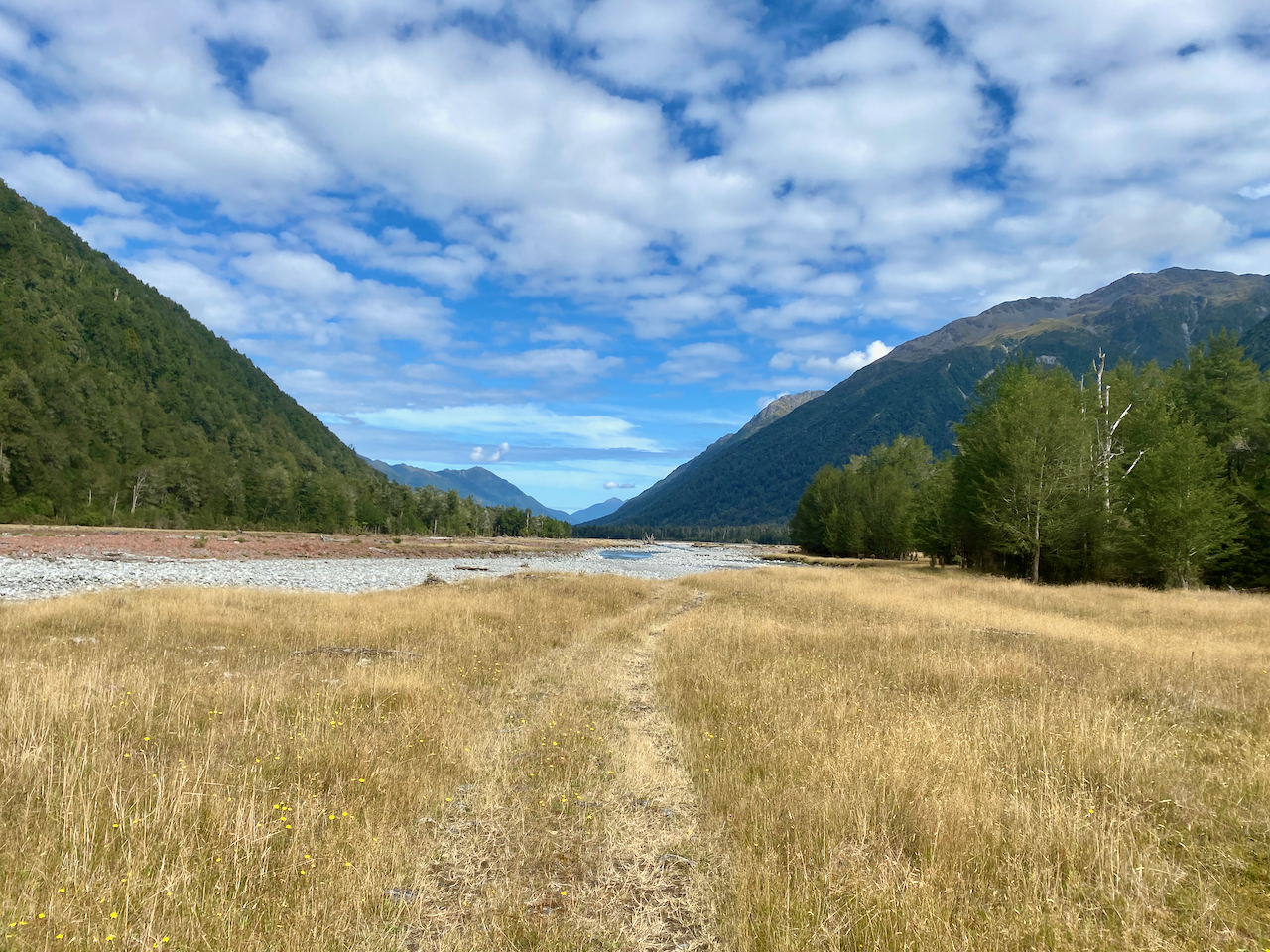
Thankfully the sun came out today as it will be the hardest day so far, taking me over Harpers Pass at 967m. I headed out along thee grassy plains feeling pleased that the rain had passed for the time being, although that didn’t mean the grass wasn’t wet from dew.
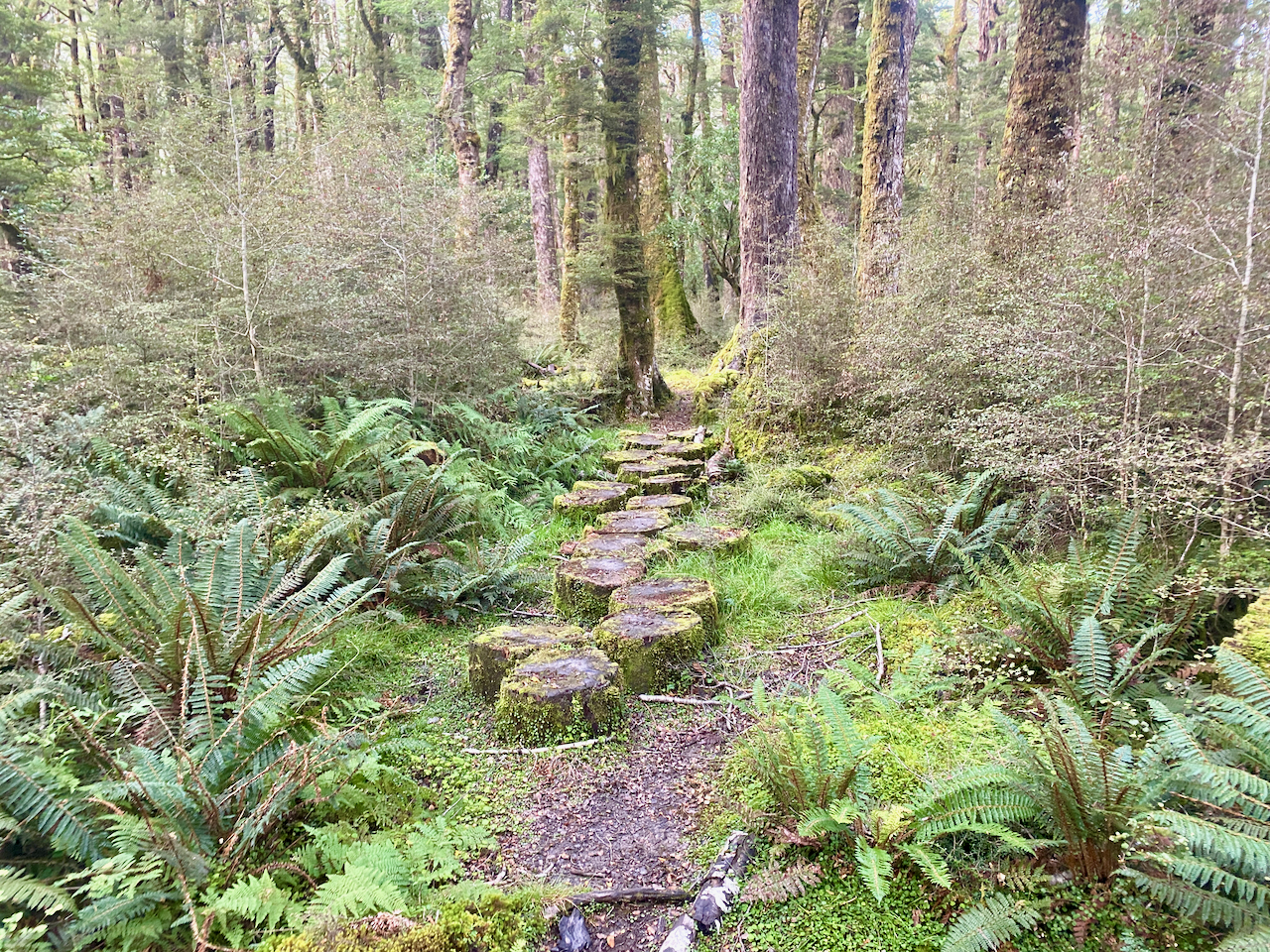
The trail headed into the forest for a while, with laid out tree stumps covering the muddy patches. Good, but still slippery.
I soon came to the three wire bridge and crossed, pushing uphill a little in the woods.

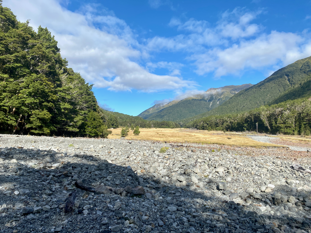
Until once more coming out onto the flat via a rocky landscape before arriving at a small hut called Cameron’s Hut, which has only one workable bunk. I’d planned to stay here last night, but a walker the night before had persuaded me not to.
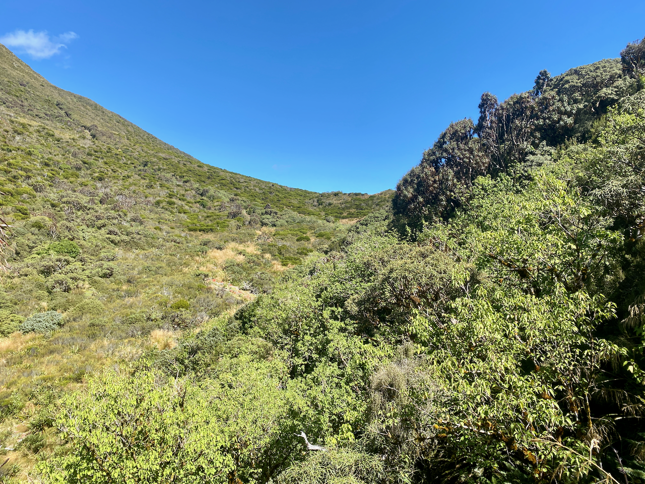
I marched on up the trail as it steadily began to climb, planning to stop at the Harper Pass Bivvy for lunch near the top.
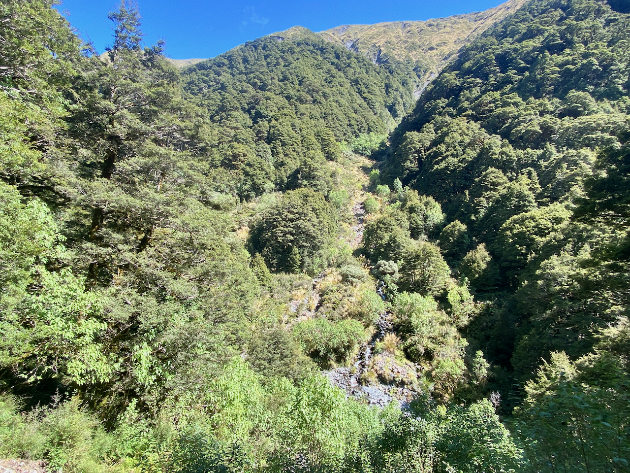
I got to the bivvy an hour later, and stopped for lunch with two people there. And as they left, the three that had been following me since day 2 arrived. I ate my lunch in the sun with them, then letting them go first, I headed up the final climb to the top of the pass.
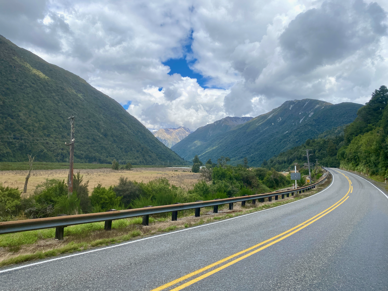
The trail down the other side was steep and rocky, and I’d been warned I’d be getting wet feet. I finally got a good view down onto the valley I’d be walking into and continued down the very steep trail, slipping a handful of times, but nothing serious.

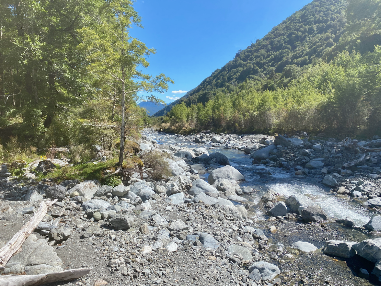
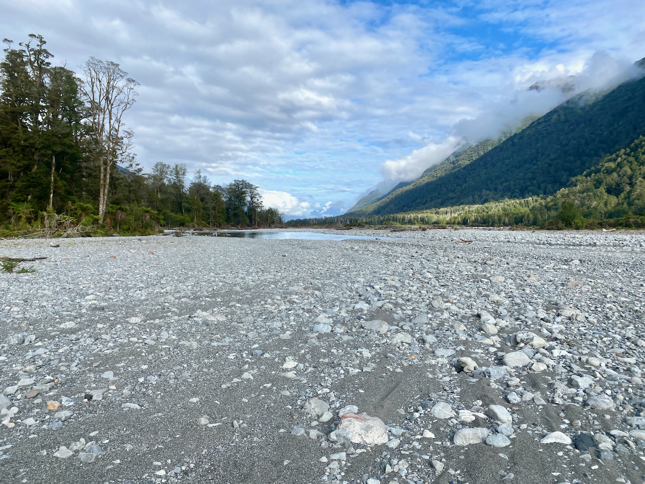
I eventually came to another three wire bridge and crossed into a rocky riverbed where I rock hopped all the way down, scrambling up the bank in a couple of cases to get away from the water.
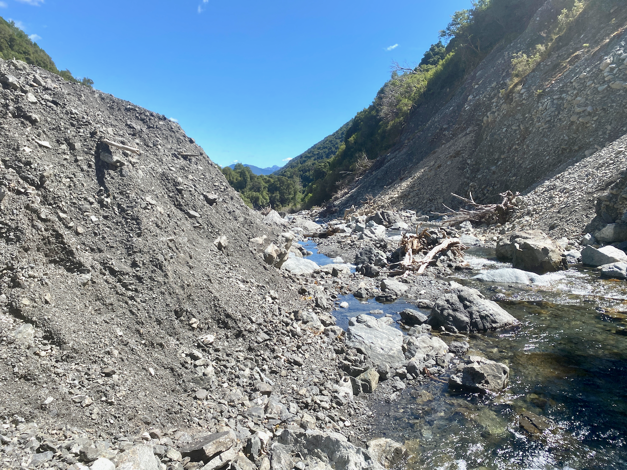
The rocky river continued, as I climbed one of the banks and walked in the woods for a bit, then back to rock hopping.
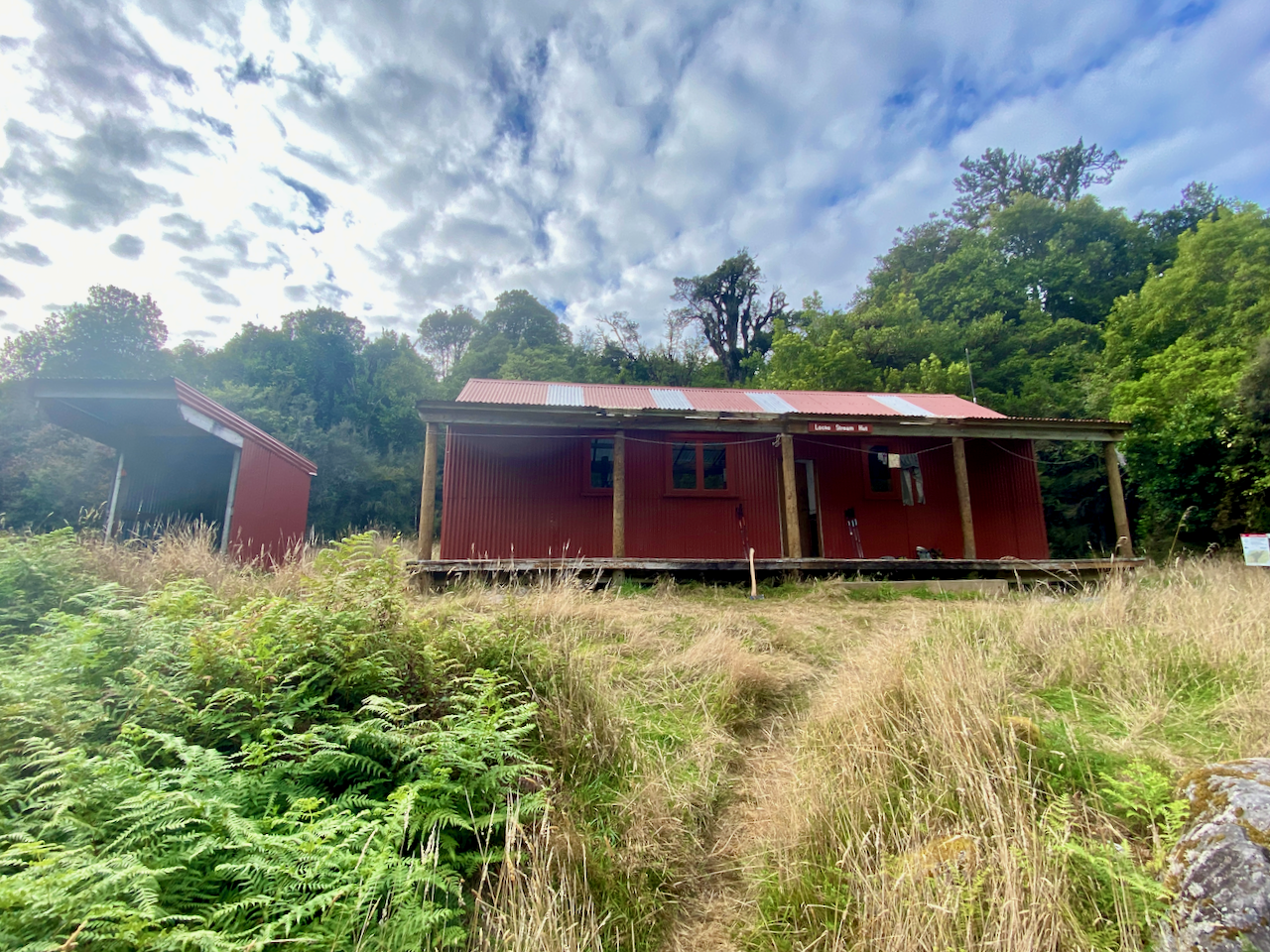
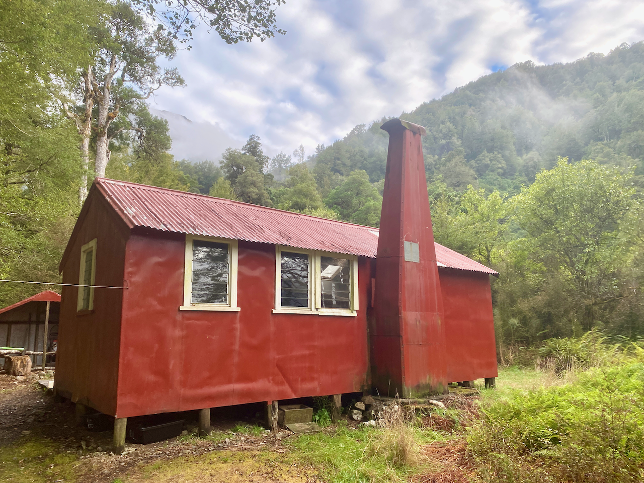
I came around the corner to spy people in the river. I climbed the bank to find the Lock Stream Hut where I’d be staying for the night. It was warm enough that there was no need for a fire, which was good as we couldn’t find any. With the only water that from the river, I topped up from there trying to avoid the sandflies that were eagerly waiting for me. I also did some washing in the river and laid it out to dry, then sat reading my book in the sun, or at least trying to, as again the sandflies swarmed us all, even covered in repellant.
Day 5 – Locke Stream Hut to Kiwi Hut – 8.4 km – 2.25 hours – Red
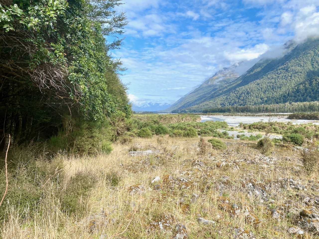
Again, my preplanning had stated a fairly long day today, but in revision, it turned out to be little more than 2 hours. But as my following day was a firm booking at a backpackers, I didn’t want to turn up a day early. I headed out from the hut and across some rugged landscape.
The trail lead me across the river, and I spent some time walking back and forth trying to find the best location to ensure I wouldn’t get my boots wet. I eventually found it and headed across into the grassy plains.

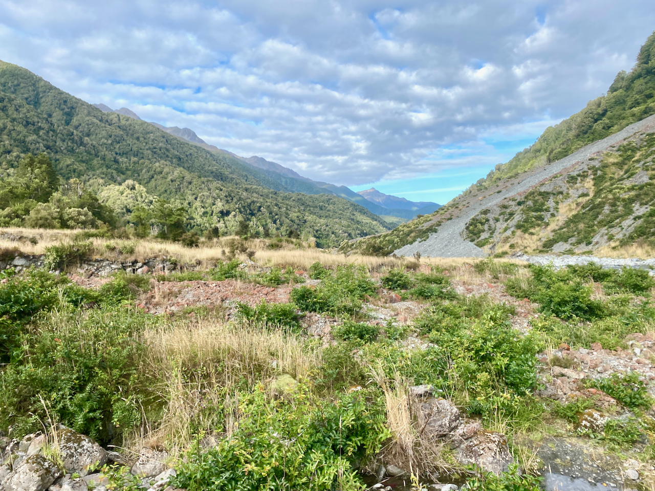
The trail rambled through the red rocks fairly common along this route, but staying on the true right of the river.

Most of it was along a grassy plain beside the river, with forest on the right.
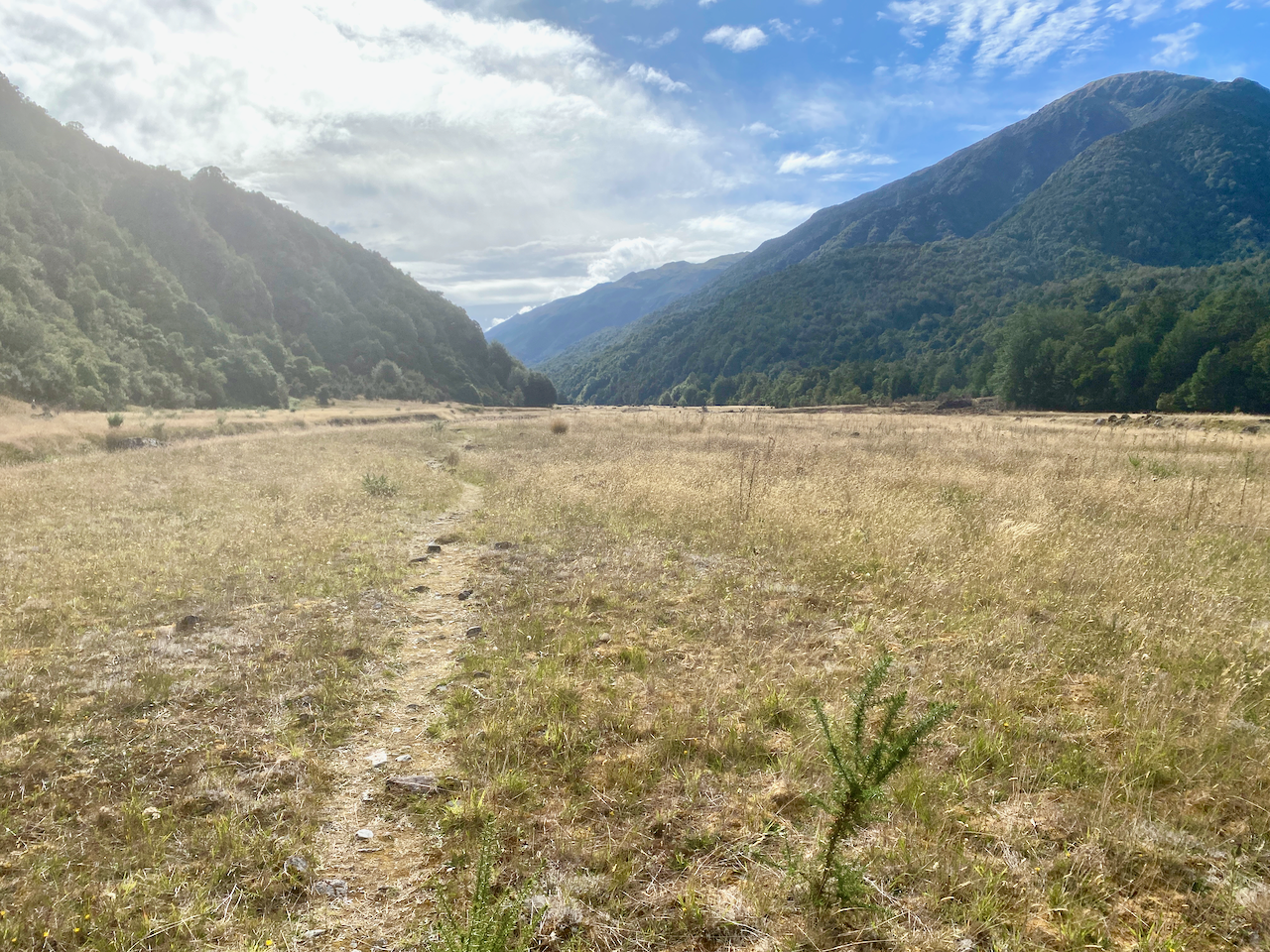
I followed the trail on, seeing no-one else as I walked, the weather becoming better.
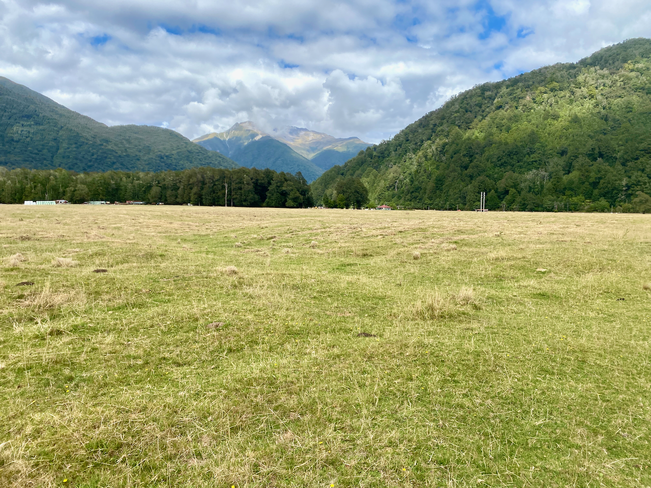
After a while I came to a sign to Kiwi Hut, pointing into the forest. I headed in, following the trail through to a large grassy paddock and up a bank. It was warm and before lunch when I arrived. I scouted for some wood and dragged it back to the wood shed, but felt there would be no need to start a fire, so didn’t bother cutting it up. A couple arrived and stopped for lunch. I brewed coffee and chatted with them before they left.
I then changed, cleaned the hut, checked the water and just chilled for a few hours until a large group of TA walkers arrived. More people would arrive during the day until all 7 beds were full and there were three tents out on the grassy patch.

Day 6 – Kiwi Hut to Rata Lodge Backpackers Otira – 21.45 km – 6 hours – Green
I headed out the next day looking forward to having a hot shower and staying in a real bed. Soon after heading out, I crossed the river which had split in two on the river plain. The first I found a way to rock hop across, but the second was not so easy. I finally had to remove my boots and wade over without them.
Then over the course of the next handful of hours, I walked along the grassy field slowly making my way towards where I guessed the road would be. I came to a large gorse forest and was forced along an old river bed to avoid it. This cut me through some forest, back to the river bed, through a small portion of gorse, before I finally exited down a bank to the grassy plains.
The plains widened and I followed a 4 x 4 trail across it. As I walked I began to hear the occasional vehicle in the distance. My hopes of keeping my boots dry, however, died quickly as the trail crossed many brooks with few other means to cross than to wade through or remove them. After the first couple I gave up and just let me boots get wet.

I trailed across the grassy plains, finally making it to the rivers, of which there were again two. By that stage, I’d all but given up trying to stay dry and just waded straight in. Then with soggy boots, I was up a bank and crossing a farm paddock toward the road.
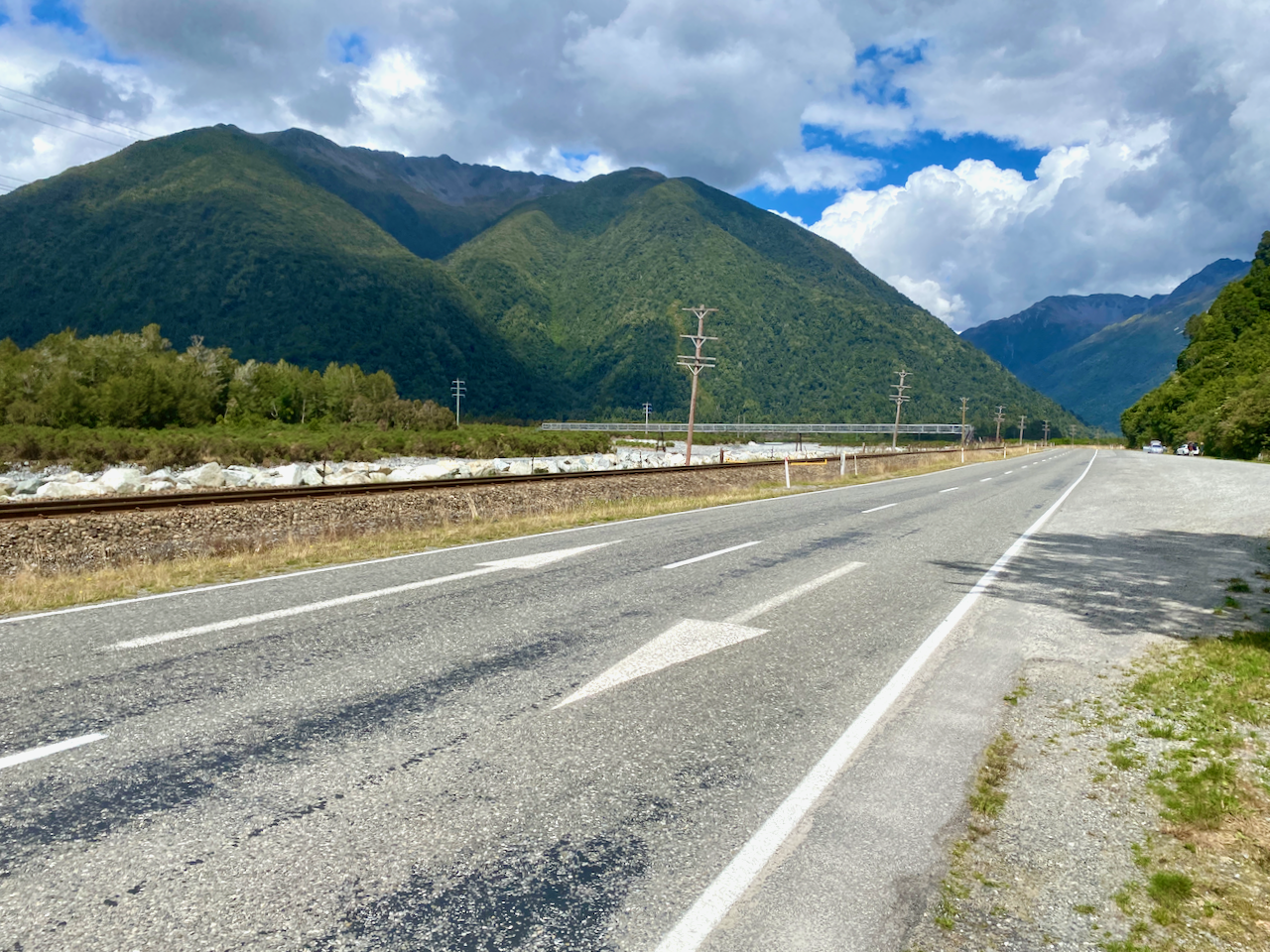
I stopped briefly for lunch, but sandflies… So I picked up my pack and headed off along the road towards Otira and the backpackers. I thought it was only 6 or 7 km, but I have since learned it was closer to 11. I also decided to not thumb a lift, but should someone offer a ride I’d take them up on it. Several km along the road I came to the Morrison Foot Bridge spanning the river and railway tracks. TA walkers commonly camp on the other side of the bridge, or arrive here and hitch a lift to Otira or Arthur’s Pass Village. This is the last location I’d be encountering walkers from the Te Araroa. From here it was going to be much quieter.
I walked a further 3km, and next to the location where I’d be beginning my walk tomorrow, a car stopped and a pair of women picked me up. They’d been hiking in the mountains in the area too. They drove me the remaining 3km to the the backpackers where I checked in, had a hot shower, then headed along the road to the cafe for a hot meal. Unfortunately, as I was not staying at his establishment, the owner wouldn’t sell me a beer. I’d just have to wait another week until I arrived in Hokitika.
Next, Days 7 – 8 of my Southern Alps Crossing.
The Lone Trail Wanderer
