Road Trip! – Brisbane to Adelaide

As the first part of my three month adventure around the lower states of Australia, I drove across country to Adelaide, South Australia. To get there, I traveled 2,058km and set foot in four different States, all over the course of 3 days.

For the trip, I bought what I call a sleeper van. Henceforth known as the Pointy Brick.

wpid-dscn0110-2012-11-13-12-46.jpg

It’s a ’96 Mitsubishi Express kitted out with a bed in the back and storage under the bed for all my needs. I bought the van from a backpacking couple that had just driven from Darwin to Brisbane without issue. I picked it up 2 months early so I could get the feel of it, and get it prepared for the trip. Over the course of these prep months, I took it to various national parks around South East Queensland. I put it through its paces and it survived. 2,058km is a long way in an old van, so I had it serviced before I left, just to be sure. The one thing I’m aware of in the Pointy Brick is its small gas tank, meaning I’d have to manage my fuel and fill up often.

Day 1 – Brisbane to Coonabarabran

I headed out of Brisbane on the morning of November 10, 2012 in the pouring rain.

wpid-dscn0081-2012-11-13-12-46.jpg

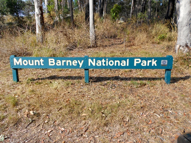
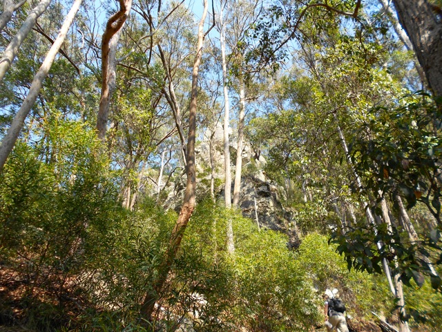
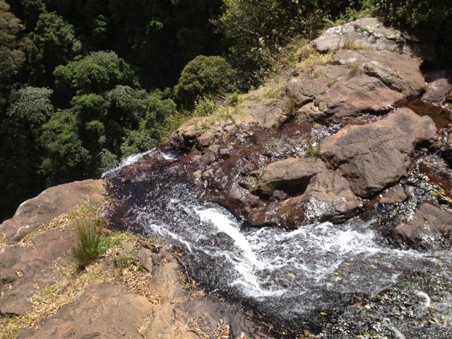
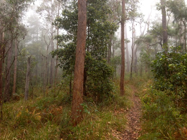
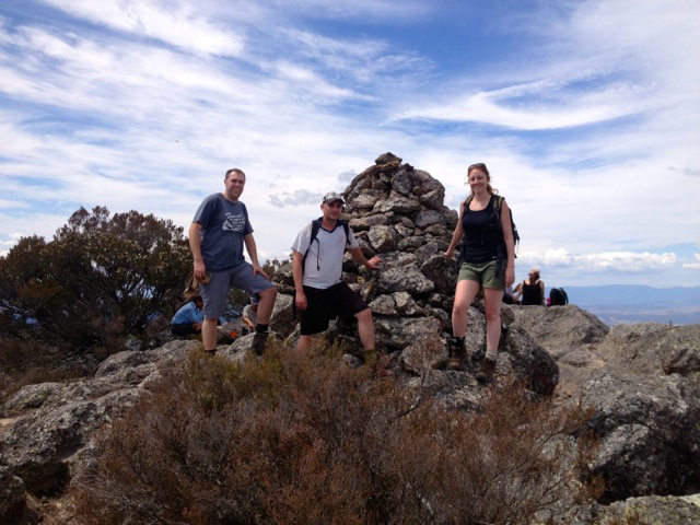
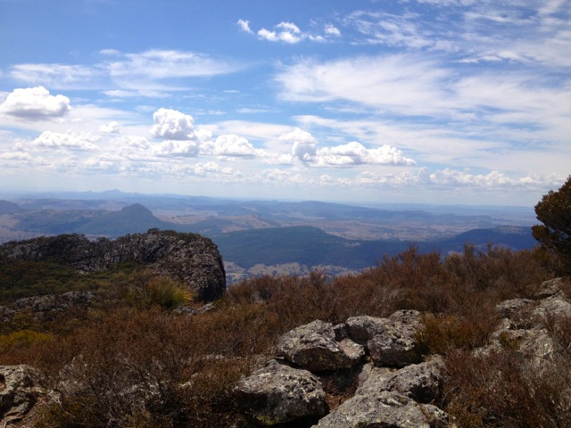
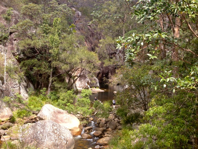
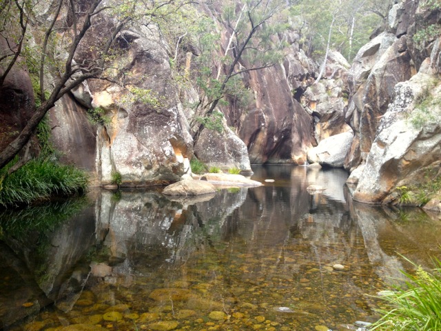
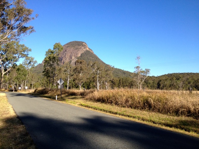
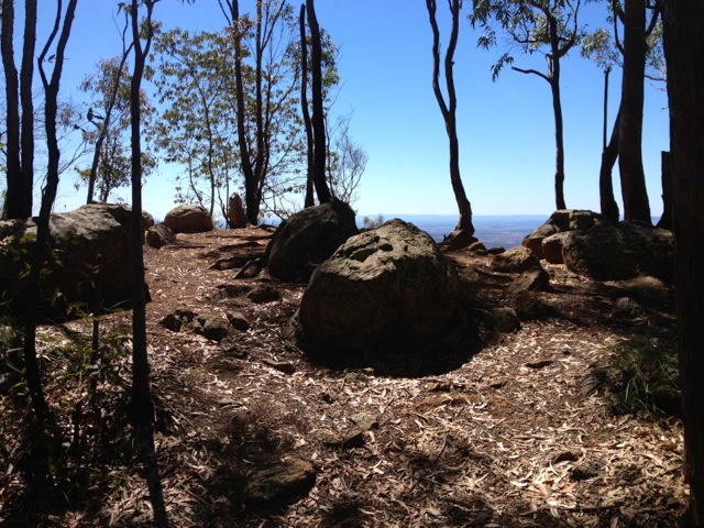
Yeah, goodbye Brisbane, I know it’s sad that I’m leaving, but you don’t have to cry about it… I headed out onto the Ipwich Motorway, pointed myself west and drove. The motorway was pretty quiet as I headed along a familiar stretch of road heading for the Main Range mountains. The rain slowed as I passed through Cunningham’s Gap and headed on to Warwick. The spires of the Main Range were some of the few mountains I was to pass on this journey and I took a last few pictures as I drove through.

wpid-dscn0086-2012-11-13-12-46.jpg

I passed Warwick shortly after and continued west along a road I had not travelled before. While the weather kept up its farewell the Pointy Brick had no trouble dealing with the wet weather and didn’t leak. With music blaring, I continued on the Cunningham highway to Goondiwindi on the New South Wales border. By this time the rain had stopped, but the clouds still remained. The entrance to the border town had a yellow blossoms strewn across the road. I filled up and headed back out and across the border.

wpid-dscn0100-2012-11-13-12-46.jpg

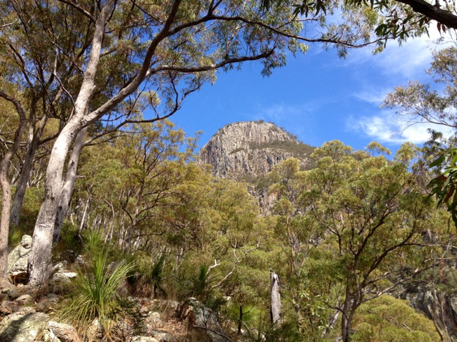
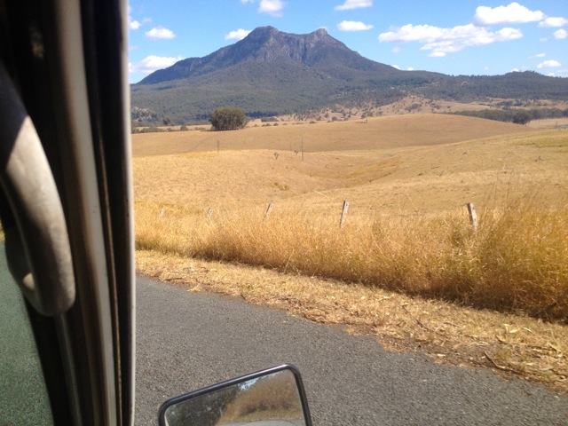
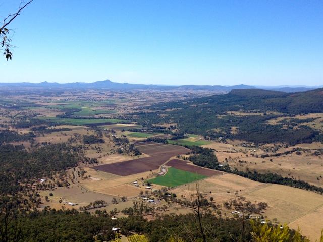
In NSW, I followed the Newell Highway south and straight away noticed the change in road conditions. For the most part, the roads are good in NSW, wider and better maintained. The speed limit on the highway is also 110km – which is something I had only seen on 2 Queensland Motorways. 110km/h is a big number for the Pointy Brick. I’ve had it just over 120km/h, but since I didn’t buy it for speed and power, I was not worried. On either side of the road are large fields of wheat for as far as the eye can see. There is the occasional tree, but otherwise wheat all yellow and wavy. This is pretty much how it was for more that 200km as I drove through Moree to Narrabri. Near Narrabri are some mountains – Yay! – but only a couple. And if I was ever back this way I wouldn’t mind climbing Mt Kaputar.

wpid-dscn0103-2012-11-13-12-46.jpg

This is Australia and of course you see a lot of kangaroos. They are everywhere and I think I must have seen more than a hundred of them. It’s not as cool as it sounds, though as I only saw two that were actually alive. That’s right. The rest were roadkill. Some were months old, others only days. All of it sad.

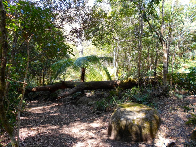
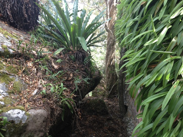
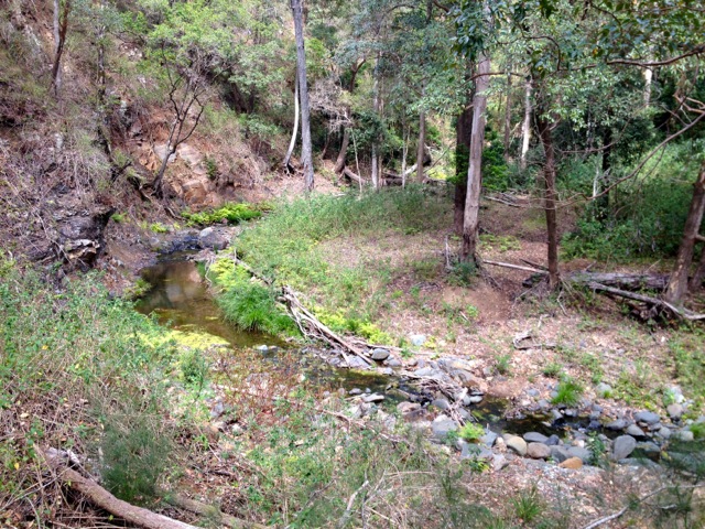
After Narrabri theres a large forest and nature reserve, which was a change of scenery.

wpid-dscn0107-2012-11-13-12-46.jpg

I eventually arrived in Coonabarabran at 7pm, which is after dark in Queensland, but not so in NSW because of day light savings. I cooked dinner and settled in with a glass of wine and watched something on my laptop.

wpid-dscn0108-2012-11-13-12-46.jpg

Day 2 – Coonabarabran to Hay

One thing to know about small towns, the coffee is generally crap! Some coffee is better than no coffee though, so I put up with it. I headed off along the Oxley Highway towards Gilgandra and then back onto the Newel Hwy to Dubbo.

Today the weather had cleared and became warmer, plus the wind picked up. The thing about driving in a vehicle shaped like a brick is it gets blown around by the wind. And when you are screaming along at 110km/h and a road train goes past the other way, you have to hang onto the wheel to keep it steady. Don’t forget the constant fields of wheat.

wpid-dscn0116-2012-11-13-12-46.jpg

Dubbo is a pleasant large town in Mid-NSW although its coffee is crap too. Not long out of Dubbo I came across a sign that told me I was entering Bland Shire. It wasn’t kidding, between Dubbo and West Wyalong there’s not much to see: wheat fields and road trains. I travelled through Peak Hill, Parkes, Forbes and kept myself busy on the way to West Wyalong listening to an audiobook by Robert Rankin.

Beyond West Wyalong, the next sign announced I was entering The Outback, NSW. From there the landscape changed dramatically. It became wild and desolate. Hardy plants grew, but not much else in this wasteland.

wpid-dscn0125-2012-11-13-12-46.jpg

With it, the heat increased and as I shot across country in the Pointy Brick the air rushing past my window was hot. I continued nervously, watching my temperature gauge and it did increase, but not too much.

I arrived in Hay, mid afternoon and quickly located the Caravan Park, cooked myself a pork yellow curry before setting myself up for the night.

Day 3 – Hay to Adelaide

I set out early the following morning in hope of avoiding the heat, but the heat got up before I did. I headed across the barren Hay Plains along the Stuart Highway. The heat was high and the wind hot as I charged across the land. The temperature gauge sat warmer than usual, but still below half – I’d checked the water levels before leaving and all was good.

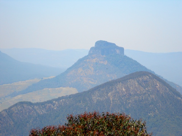
Past Balranald, the massive wheat fields appeared again. To the north beyond the horizon was Mungo National Park with its twin peaks, shame I would have liked to have seen it. Oh how I longed to see mountains. I filled up at Euston and continued along the Victorian border to the beautiful city of Mildura after crossing the Murray River.

wpid-dscn0136-2012-11-13-12-46.jpg

Coming in to Mildura there is plenty of colour in the trees and the surrounds, no doubt because of the river.

wpid-dscn0131-2012-11-13-12-46.jpg

I stopped for lunch in Mildura and found an amazing pastry shop. Then I was off again, across the Victorian countryside. The land to the south of the Murray river was still warm and had large crops of Lavender but was otherwise more of the same. The temperature gauge held steady and after an hour, I reached the South Australian border and was stopped at Quarantine where they looked through my food – of which I had little – but still confiscated my small bag of potatoes. You can’t bring fruity items into SA. I didn’t think my spuds would count, but they did.

wpid-dscn0140-2012-11-13-12-46.jpg

When you enter Renwick, just over the border, you know you’ve arrived in wine country. With the Murray River going through it, there are massive vineyards everywhere. The road wends its way through the lush green land. It becomes cooler too, with a cool wind refreshingly going past.

wpid-dscn0141-2012-11-13-12-46.jpg

The last couple of hundred km into Adelaide passed quickly in an obviously more fertile area. I was pleased when the hills of Adelaide appeared on the horizon, something not flat! There was a couple of interesting trees that I wish I’d had my camera ready for. The Shoe Tree with about 30 pairs of shoes hanging from it. Then about a kilometre further on was the Bra Tree. There must have been more than a dozen bras of different colours handing from the branches…

In Adelaide, Apple Maps sent me on a tiki tour of the central city – stupid Apple maps, bring back Google maps! – and I eventually arrived at my friends’ house. Overall, the Pointy Brick and I arrived safely with no issues. A good beginning to the adventure.

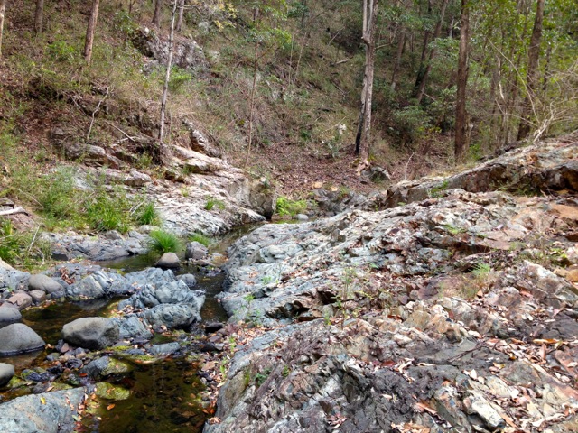
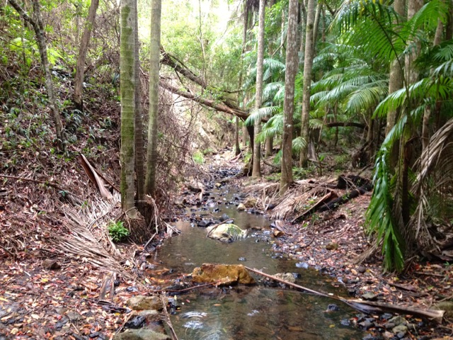
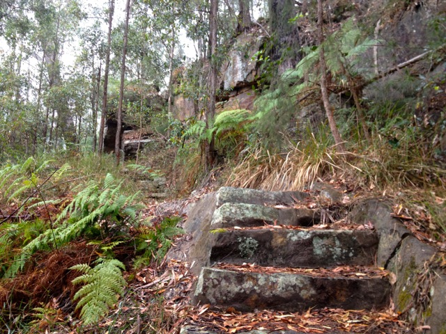
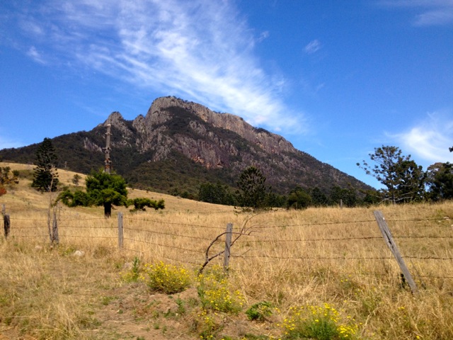
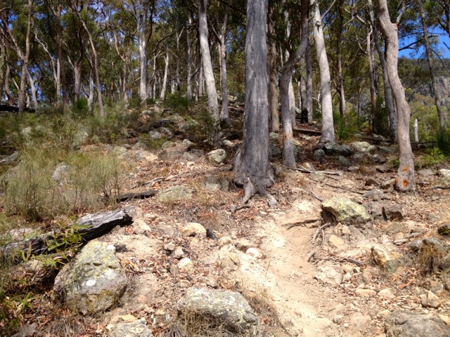
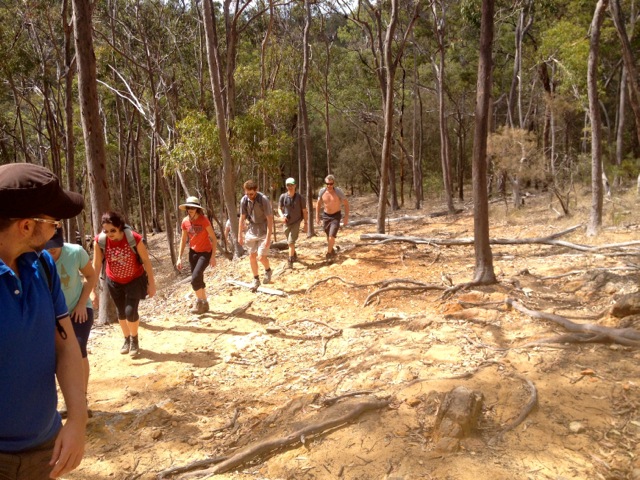
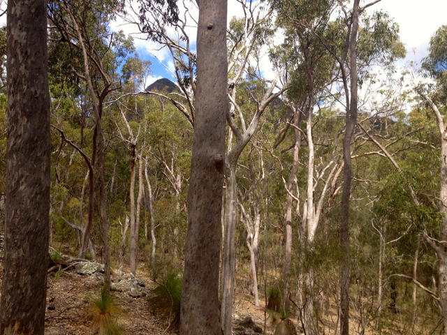
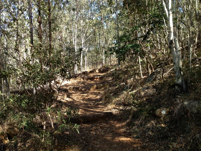
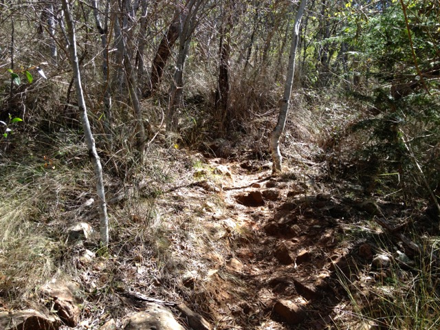
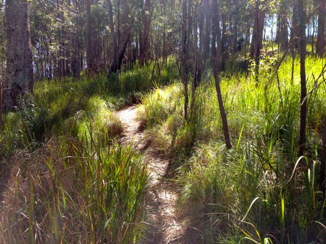
Next, after a couple of days in Adelaide, I’m walking the Yurebilla Trail, three days in the Adelaide Hills.

The Lone Road Tripper

The Plan

At the end of this week I will be leaving Queensland and embarking on the beginning of a crazy adventure. This will see me walking around the southern states of Australia for 3 months before winging it to South America for more adventures. The initial plan was to take 12 months, but why set a timeframe on adventure?

What follows is a break down of my plan for the next 3 months including locations and the activities I’ve planned for in those locations.

wpid-seaustralia2-2012-11-7-08-01.jpg

Nov 10-12
Brisbane to Adelaide – South Australia
Road Trip
2058km

Brisbane to Coonabarabran – 705km
Coonabarabran to Hay – 671km
Hay to Adelaide – 682km

SOUTH AUSTRALIA
Nov 13-14
Explore Adelaide
Nov 15-17
Yurrebilla Trail – 3 day hike in Adelaide Hills
54Km

Nov 17 – Birthday
Nov 18-20
Kangaroo Island
Short hikes and Wildlife Sanctuary

Sunday November 18:

Drive: Adelaide to Cape Jervis 108km

Ferry from Cape Jervis to Penneshaw

Penneshaw to Western Ki Caravan Park and Wildlife Reserve 138km

Nov 21 – 22
Drive: Cape Jervis to Naracoorte – 407km
Naracoorte Adventure Caving

Nov 22
Grampians Mountains Victoria
Naracoorte to Halls Gap – 218km
Stop off in Little Desert National Park

VICTORIA
Nov 23-28
Grampians National Park
Major Mitchell Plateau – 2 days
Mt Gar – Briggs Bluff Circuit – 2 days
Day walk – MacKenzie Falls section
Day walk – Halls Gap Section

Nov 29
Grampians National Park to Brisbane Ranges National Park – 196km
Road Trip
1 day

Nov 30-Dec 3
Brisbane Ranges National Park
Burchell Trail – 4 day hike

Dec 4
Brisbane Ranges to Melbourne – 62km
Road Trip
1 day

TASMANIA
Dec 7-8
Ferry to Tasmania and Drive to Cradle Mountain

Melbourne to Tasmania via ferry 459km
Devonport to Discovery Holiday Park – Cradle Mountain 80.5km

Dec 9
Bus from Cradle Mountain to Penguin the prepare for walk
1 day

Dec 10-18
Penguin Cradle trail
9 day hike

Dec 19-20
Rest days around Cradle Mountain with Numerous Day walks
Wild Cave Tours – Full Day Adventure Caving

Dec 21
Drop Vehicle off at Lake St Clair (214km) and bus back to Cradle Mountain

End Of Mayan Calendar

Dec 22-29
Overland Track: Cradle Mountain to Lake St Clair
8 day hike
Christmas on the trail

Dec 30
Drive from Lake St Clair car park to Devonport then Ferry to Melbourne
Lake St Clair car park to Devonport 247km Road Trip
Tasmania to Melbourne via ferry 459km

Dec 31
NEW YEARS EVE
Melbourne

VICTORIA
Jan 1
Melbourne to Wilsons Promontory Road trip (223km)
1 day

Jan 2-4
Wilsons Promontory South End Hike – 3 days

Jan 5
Wilsons Promontory to Mitchell River National Park 240km
1 day

Mitchell River National Park to Buchan Caves 128km
Caving

Jan 6
Buchan to Alpine National Park 216km
1 day

Jan 7-9
Alpine National Park
Big River, Mt Bogong Circuit – 3 day Hike

Jan 10-13
Drive to Kosciuzko National Park
4 days with stop offs:
Mt Buffulo National Park
Chiltern-Mount Pilot National Park
Burrowa-Pine Mtn National Park

NEW SOUTH WALES
Jan 14-18
Mt Kosciuzko National Park
Yarrangobilly Caves
Bogong Wilderness – 2 day hike
Whites River Hut, Rolling Ground, Dicky Cooper Bogong– 2 day hike – modified
5 days

Jan 19-25
Jindabyne
On The Beach – Convention

AUSTRALIAN CAPITAL TERRITORY (ACT)
Jan 25-28
Canberra
Cancon – Convention

Return to Brisbane
Jan 28 – 30 Canberra to Sydney via Flinders 315km – Stay with Family
Jan 31 Syndey to Port MacQuarrie 379km
Feb 1 Port MacQuarrie to Ballina 364km
Feb 2 Ballina to Brisbane 177km

Feb 2-5
QUEENSLAND
Brisbane

Feb 6
NEW ZEALAND
Auckland

Feb 21
SOUTH AMERICA
Buenos Aires – Argentina
Ushuaia – Argentina

What am I going to do when I am there???

Have the time of my life!!!!

See you on the trails!

The Lone Trail Wanderer.

Mt Barney – South-East Ridge to East Peak

Mt Barney is a pair of peaks on the border between Queensland and New South Wales. It’s the third tallest mountain in South-East Queensland. While it’s only 1354m above sea level – a molehill compared to many of the world’s mountains – it’s up there by Australia’s standards.

DSCN0029

For my last outing with my hiking group before I leave Queensland I arranged to climb the lesser known trail up Mt Barney’s South-East Ridge.  The South Ridge is the more common way up for this trip will be our descent.  The South-East Ridge is more difficult as it’s steeper and more exposed in several places.

Mt Barney – South East Ridge to South Ridge Circuit – 16.5km – 10 hours – difficulty: very hard.

The hike has an estimated 10-hour length, so I arranged for the group to meet at 6.30 a.m. outside the information booth in Rathdowney. With 7 of us in attendance, we drove to the car park at the base of the mountain. Thankfully the signs confirmed where we were supposed to be, as the mountain and most of the area was shrouded in low cloud. A bit of a contrast to the fact the temperature was supposed to rise to a muggy 30ºC today.

wpid-dscn0033-2012-10-23-08-02.jpg

The car park is about 3.5km from the beginning of the South-East Ridge trail, along a dirt road that works its way towards the mountain by crossing a couple of small hills. There is only one way to find the South-East trail, the letters SE carved into the trunk of a tree beneath a cross. What the cross means I’m not sure, perhaps an ominous message left by previous climbers?

DSCN0036

The thin dirt track began at a gentle slope but grew steadily steeper as it worked its way towards a rocky spire.

DSCN0038

At our backs as we climbed, the wedding cake topped Mt Lindsey and for much of the morning, cool breezes flowed from the east.

DSCN0058

The climb was anything but easy, and the 7 of us stopped regularly, usually when the ridge came to a flat area every 100m or so. The trail changed constantly, moving between dirt and root steps, to rocky steps cut from sheer gullies with plentiful handholds to smooth rock scrambling.

DSCN0045

At the top of the short flat areas we often looked down on something different, a sheer cliff face here, a long rock gully there or down on top of a mini forest. Each time we’d scramble up to the top of a ridge we’d find the great spire of the next one staring down at us. This gave the sense that the mountain just keeps going, on and on.  But eventually we climbed over a ridge to find we’d run out of mountain.  The top of the Eastern Peak is an open rocky area giving us a total 360º view.

DSCN0066

Unfortunately, because of the early November heat the views from the mountain were hazy. The heat also brought out many bugs that seemed to dance in the air around us.  They seemed quite attracted to the smell of our sunscreen as we reapplied.

DSCN0067

We stopped for lunch before heading down a vague trail that led towards the saddle between East and West peaks.  We climbed down flat rocks with the rocky spire of the more difficult West Peak ahead of us.

DSCN0069

Thankfully for grippy hiking boots the decent wasn’t difficult and we arrived at the saddle in short order. The saddle is a small rainforest and has a space set aside for camping.

DSCN0074

The South Ridge trail, also known as Peasant’s Ridge, was more difficult than the ascent of the South-East ridge. While it wasn’t as arduous, it was far more humid, with the trees hiding not only the sun, but easterly breeze as well.  This meant our descent was in the full humidity, so it was hot and uncomfortable.

DSCN0078

Eventually, we made it to the bottom and headed towards the car park. This was perhaps the hardest part of the day. After climbing the mountain, we were hot, tired and sore.  The four kilometres of dirt road just seemed to go on forever and the two small hills we’d climbed at the beginning of the day seemed each as tall as Mt Barney itself.

Finally, eight hours after we began we made it back to the vehicles, then it was back to Rathdowney for a well-earned beer.  An excellent final hike in Queensland.

The Lone Trail Wanderer.

Moran Falls and Lyrebird Lookout Circuits – Lamington National Park

This week I took my hiking group into the Green Mountains section of the Lamington National Park. I’ve done several walks in the Green Mountains including the Gold Coast Hinterland Great! Walk and the West Canungra Creek Circuit.  There are many walks in this national park and I was looking for a less intense one for the group.

Lamington National Park: Green Moutains section map

Map is owned by and used with courtesy of Queensland Government.  Please visit that site for more detailed information on hiking in this region.

Getting to the start of the hike was slow along the thin winding roads where some drivers could have gone faster if they got out and pushed. Eventually, my intrepid band of 14 set out along the road heading towards Moran Falls. This particular hike mixed a couple of circuits and included a section off-track.

IMG_1348

We left the road and headed along a cemented track down the hill for 2km to the Moran Falls Lookout. At the time of writing it hadn’t rained much in Queensland for a few months, so I was hoping there would be some falls to see. But as we came to a viewpoint across from the falls, we weren’t let down. The Moran Falls drop 80m to a small pool and was a pleasant view so early in the hike.

IMG_1345

From the falls, we continued around the top of the cliffs buried in trees to a bridge across the creek flowing to the waterfall.

IMG_1349

Off-track, we followed the creek…

wpid-img_1355-2012-10-15-07-55.jpg

…to an open area of rock at the top of the falls where we could stand on the rocky ledge looking down to the base of the waterfall and along the valley.

IMG_1351

In the background is the mountainous Scenic Rim including Mt Lindsey, Mt Barney and Mt Maroon. While we hadn’t walked far, we decided to stop for lunch.

IMG_1352

After lunch, we continued along a steep dirt track up a hill. This was perhaps the most difficult part of the day and during this time the group began to break into faster and smaller groups. We continued following the path along a ridge until it opened up on one side to an unnamed lookout.

IMG_1358

The views of the next ridge were great, as was the tree-lined valley between the two. We continued along the ridge until we came to the Balancing Rock. It had been cordoned off, so we resisted getting too close.

IMG_1360

Beside Balancing Rock the track continued along a more precarious part of the ridge. The group stopped at the lookout as two of us continued along the ridge to a protruding crag at the end called Castle Crag, with views in most directions.

IMG_1362

Returning to the group and we continued up another steep dirt road to a large clearing and along a short boardwalk to Moonlight Crag – a large wooden lookout giving us again great views of the mountain ranges and Castle Crag.

IMG_1372

Again we continued on, diving into the rainforest along the thin track marked by pink ribbons. As we headed in, the group broke in two, the fast and the slow. The front group walked on to a small grotto known as the Orchid Grove…

IMG_1375

…and then on again towards Lyrebird Lookout. Unfortunately, the sign to the lookout wasn’t prominent and we went past it to an open clearing that held the foundations of several buildings from decades before.  It was unclear what these buildings had once been used for. We waited for the other group but when they didn’t arrive, headed back along the trail, making our way through the rainforest to an overgrown track and on to a well attended track. A kilometre further on we arrived back at the start point and waited for the second group to arrive. They weren’t far behind, having found Lyrebird Lookout and returned a different way through the rainforest back to the start point.

Overall, the walk wasn’t a difficult one, but it was an adventure with some great views. Next week, however, I take a group to climb Mount Barney, the most difficult hike I plan to do in Queensland. It’s the third tallest mountain in South East Queenland – the tallest being Mt Superbus from our climb last week – and has a suggested time of 10 hours, 5 hours up and 5 hours down. I’m sure my legs won’t be thanking me, but the views should be fantastic…

The Trail Wanderer

Lincoln Wreck and Mt Superbus – Main Range National Park

In 1955, an RAAF Lincoln bomber flying a sick baby from Townsville to Brisbane went down in bad weather, crashing 50m from the top of Mt Superbus. The sole survivor of the crash was a ginger Kelpie.

This week, I took a small team from my hiking group to climb Mt Superbus and find that Lincoln Wreck. This hike wasn’t going to be easy and it wouldn’t help that it was forecast to be 33ºC and muggy or that all we had was a sketchy set of instructions.

As the trip to the beginning of the hike was a long way from our meeting place, I camped out in my van the night before. It certainly made the early start the next day a little easier.

The meeting point is the usual spot, Aratula BP, an hour outside of Brisbane. The hike starts a further 80km into the Main Range along a dirt road with a couple of stream crossings, which could have been more of a hazard if it had actually rained in Queensland over the past months. At one slightly deeper crossing, we were forced to leave half of the cars behind and pile into my van for the last several kilometres to a pleasant looking farm.

wpid-img_1311-2012-10-9-07-41.jpg

Through the gate, we headed along a dirt road which we believed was the beginning of the hike. But after following the dirt road a couple of kilometres we finally discovered a National Park sign and a thin trail that was the actual start point.

wpid-img_1314-2012-10-9-07-41.jpg

We walked through overgrown rainforest for about two kilometres following the thin trail, slowly working our way uphill. Sometimes we taller walkers were forced to crawl to follow the trail.

At some points along the hike we followed pink ribbons attached to trees, but mostly we followed the vague trail. About an hour in, however, the trail petered out and we were left without markers in the overgrown rainforest. And being immersed in trees, there were no reference points, not even the mountain we knew was there. Our instructions directed us south east, so with compasses out, we headed off-trail in search of a more obvious trail.

As we walked we found a downed tree across the gully like a bridge.

wpid-img_1315-2012-10-9-07-41.jpg

We then climbed a wet gully, continuing south east. At the top we located the trail we’d been looking for and followed it. While unsure exactly where we were, we stopped for lunch before continuing along the trail, following it deeper into the rainforest.

The trail ended abruptly at a rocky gully and we discussed our options. It was 1.30pm with sunset due at 5.45pm. We’d been walking nearly 3 hours, so we had to judge how long push on before turning back, allowing ourselves time to return to the vehicles before sunset. After a search around the bottom of the gully, we located a tin arrow nailed to a tree, a marker mentioned in the instructions! We decided to follow the arrow and it led us up the rocky gully.

wpid-img_1320-2012-10-9-07-41.jpg

The rocky gully climbed upwards rather steeply, occasionally forcing us to climb short cliffs and avoid both stinging nettles and Gympie Gympie plants, touching either is not suggested.  We scaled a large fallen tree trunk, which posed more of an issue for the shorter legged members of the group. At the top of one short cliff we located the bomber’s engine block.

wpid-img_1317-2012-10-9-07-41.jpg

This prompted us to continue climbing.  A little further up we were distracted by some pink markers that led us nowhere, so we returned to the gully and continued climbing.

wpid-img_1324-2012-10-9-07-41.jpg

Eventually after a series of intense scrambles, we found the bomber’s fuselage wreckage, a solitary wing and a mess of other metal.

wpid-img_1327-2012-10-9-07-41.jpg

We stopped for a short break before beginning the long journey back to the vehicles.  We would have liked to have continued to the top of Superbus, but with the short winter days, it was best not to.

wpid-img_1322-2012-10-9-07-41.jpg

The climb down was fairly straightforward and on arriving back at the tin arrow, we again located the main trail. We followed it back and discovered where we had lost the trail.

We arrived back at the vehicles as the sun began to set and drove back to Aratula hotel for the obligatory post hike beer.

wpid-img_1329-2012-10-9-07-41.jpg

Overall, while we started late and lost the trail going in, we found the wreck and got out before sunset. A great adventure and an intense hike with a good bunch of people.

The not so Lone Trail Wanderer

Ravensbourne National Park

IMG_1247

Ravensbourne National Park is a small park only a handful of kilometres from Crows Nest National Park.  The weekend I was here it threatened rain, but I still intended to walk as many trails as I could.

Day 1 

Cedar Block Walk
With the threat of rain I headed up to Gus Beutels Lookout.

IMG_1248

Cedar Block is a very short walk through the rain forest and served as a warm up for the day. I guess if I had to write a description, I would say… ‘there are trees and then it ends’. Warmer after the brief walk, I headed down the road to the beginning of the next walk.

Rainforest, Palm Creek and Buaraba Creek Circuits.
While these three circuits are separate hikes, the Buaraba Creek Circuit traverses both of the others before heading off track and into the forest. Off Track, that doesn’t sound like me? Never.

I headed out from the car park along the trail and into the trees. It was not long before I came to the beginning of the rain forest circuit to the right, so I climbed the steps and headed off around it. While it was a nice walk, all those tree-like things really got in the way of any kind of a view. After about 30 minutes I arrived back at the main trail and continued on.

IMG_1256

It was not long before I came to the Palm Creek Circuit. I headed along this trail and guess what? Trees. While I like walking in the forest, I do find it a little boring. I prefer rocky ridges and mountains for the challenges and the views. But often, hidden away in these forests are cool things, like waterfalls, creeks and caves. And that’s what I found at the end of the Palm Creek Circuit, a series of low caves.

IMG_1267

Beyond the caves an ungraded track continued – the Buaraba Creek Circuit. The trail soon turned into a dirt road that headed further into the National Park. The road slowly climbed towards something, although it was hard to tell exactly what. At a crossroads I turned north to another junction, where the path descended steeply towards the creek.

IMG_1271

At the bottom, I took a break.

IMG_1275

On the other side, I climbed a steep rocky hill until it too reached a junction and I headed back downhill. For most of the walk, I had seen Lantana along the side of the track, but here it started to encroach upon the trail. I fought through some of it as I followed a lesser walked track. But after a fair distance – and only a few scratches – I decided I had gone too far and decided to climb down a thin trail towards the creek. Somewhere along the other side of the creek there was a graded track leading back to the other circuits, I just had to find it.

IMG_1279

It was about then that it began to rain – only lightly at first, but slowly gaining momentum. Thankfully I’d brought my jacket and a bag cover. Off trail hiking in the rain is dangerous; rocks and dirt get slippery and I did end up on my arse a couple of times. I worked my way along the creek slowly and carefully, crossing back and forth I eventually came to a grove of palms and soon after the steps I was looking for.

At the top of the steps I found a rocky ridge line. Yay for rocks!

IMG_1282

The graded track continued ahead of me as the rain grew heavier. And what happens when it rains in the rainforest? Mist. The forest took on a whole different and very beautiful appearance.

IMG_1283

In the rain, I quick marched for about three kilometres back to the car park and dry clothing. Then I was off to the caravan park for the night and a hot shower.

Day 2

Mt Perseverance Circuit
Today it was back to the usual beautiful Queensland weather with no signs of rain.  While yesterday I did the official trails, today I am going to do a trail only found in the book: Take a walk in SE Queensland.

Because it’s not an official hike, finding the Mt Perseverance Circuit became the biggest issue of the day and the entrance is not clearly marked. After driving along gravel roads for a while, I did eventually find it.  It’s near Lot 20. Ignore the old ‘keep out’ sign which near it as it relates to the paddock next to it.

The trail for the entire hike is a wide dirt track and is an easy grade through the rainforest for 7.5km.

IMG_1289

About half way in, the dirt road climbs to Mt Perseverance. It’s not a hard climb and at the end there is a fire tower, but it’s a little anti-climactic as the tower is fenced off and the views are pretty sparse. I stopped for a break before continuing with the circuit. After another 45 minutes I returned to my van.  Over, a good stroll, but not a very exciting walk.

The Lone Trail Wanderer.

Mt Barney National Park – Mt Maroon

At nearly 1000m above sea level, Mt Maroon stands out because of its jagged rocky parapets.

IMG_1202

Today’s my second walk in the Mt Barney National Park, having walked to the Lower Portals yesterday. Similar to yesterday, I arranged to meet the group at the sleepy town of Rathdowney.

Once the small group had arrived we drove to the trailhead. The walk begins at a pond and as ducks frolicked in the water we headed along a grassy path. The path turned quickly to dirt and then to rock as it climbed, initially at a slight gradient before getting steeper.

IMG_1206

The four of us climbed slowly up the slope of the shorter rocky spire beside Mt Maroon. The dirt, rock and root steps led us steadily through the sparse tree-covered slope, giving the occasional peek at the surrounding land and the rocky parapet of the main mountain.

IMG_1209

Grass Trees began to appear as we climbed and the terrain turned more rocky. We climbed around it and over a small series of boulders.

IMG_1212

It was here that the trail changed.  We headed down across the top of a steep gully towards the main rock face. The trail became sand mixed with ash from a fire several years earlier and soon began to climb again. The trail turned quite steep and there were several places we had to scramble over rocks. This was the hardest part of the hike and we quickly made our way up through it, working our way along the rocky wall.

IMG_1214

Small bamboo-like trees began to grow in a grove as we climbed through more rocky out crops until we eventually arrived at the saddle where the trail flattened out.

IMG_1216

To our left, a short path led to a large flat rocky out crop.  We climbed it and at the top we had out first real taste of the views. We also discovered that the rocky parapet we’d thought was the summit was only the middle peak of three.  The top peak beckoned us higher.

IMG_1218

The climb to the top peak was not hard compared with the rest of the climb. More of a scramble over large slabs of rock lying on top of each other. Following one of our racier companions, we quickly climbed the distance to the top and just stood in awe at the view around us. At the top of Mt Maroon, there are few trees, a large cairn…

IMG_1225

…and 360º views across the fantastic landscapes around us.

Just to the south on the state border the peaks of Mt Barney.

IMG_1227

To the side of Mt Barney and across the border is Mt Lindsey with its unique rocky spire.

IMG_1224

To the west we could see Mt Greville, Mt Edwards and Moogerah Lake.

IMG_1228

To the north, the parapet of Mt Maroon, the middle peak being part of a rocky crater.

IMG_1231

The only downside of the Mt Maroon climb was the number of people waiting for us at the top. Several groups had all decided to climb the mountain today and there was a veritable party going on up there.

The four of us kept to ourselves as we ate lunch. Then after 30 minutes of the glorious view the thought of a beer persuaded us to begin our descent. The steeper parts were trickier coming down but didn’t cause any problems.  After about 90 minutes we arrived back at the cars and headed back to Rathdowney for a well-earned beer.

The Trail Wanderer.

Mt Barney National Park – Lower Portals

This weekend I’m heading to Mt Barney National Park where I have arranged to walk two different hikes.  Today, I am taking a group on a the casual walk to the Lower Portals, and then tomorrow, I am taking another group to climb the more intense Mt Maroon.

I organised to meet the group at the little township of Rathdowney.  Once we had all arrived,  we convoyed to the car park at the base of Mount Barney. As we drove we passed the rocky face of Mt Maroon, which beckoned me for tomorrow’s climb.

IMG_1176

From the car park it’s 3.7km to the Lower Portals, a set of stony passages where water passes when it comes down the mountain. With Mt Barney above us to the south, we headed into the light forest on a rocky trail.

IMG_1177

We climbed over small hills on the way through the forest. To be honest, other than the occasional view of Mt Barney through the trees, the walk wasn’t very interesting.

IMG_1178

But the group made up for that and after 45 minutes we stopped at a rocky stream for a break.

IMG_1180

After our break we crossed the stream and walked south along the bank for another 10 minutes before trail ended abruptly.

IMG_1187

Massive boulders blocked our path further along the stream and we figured we had reached the Lower Portals.  It was all very anticlimactic.

IMG_1188

Until… We located a gap in one of the rocks and climbed up through it.

IMG_1196

Like a secret garden, the true beauty of the Lower Portals appeared. Beyond the boulders and perhaps a dozen metres along, the stream opened up to a pool with a gorge on the far side.  And at the far end of the small gorge, the Lower Portals.

IMG_1191

The tall rocky sides of the gorge were beautiful as a backdrop to the pool and stream.

IMG_1192

We hung around for half an hour more, taking in the views, before returning along the same trail to the car park.

Tomorrow, Mt Maroon.

The Trail Wanderer.

Moogerah Peaks National Park – Mt Greville

Today I arranged for my hiking group to join me to climb Mt Greville. Mt Greville is across the lake from Mt Edwards and has a harsh looking rocky side.

IMG_1102

The mountain is also known as kangaroo mountain, as from certain angles it looks like a grazing kangaroo.

IMG_1110

For my last group hike I ended up with nearly 45 walkers.  With Mt Greville being a more difficult climb, I decided to limit the numbers. This time 16 people registered and of those, 13 arrived at the usual meeting place in Aratula, where we drove as a convoy to the car park.

The initial part of the walk is a vehicle track heading across the grass at the base of the mountain. The vehicle track quickly turns into a rocky trail and cuts up a gently slope to a sign pointing us towards Palm Gorge. This would be the last sign we would see today. From here the track gets very rocky and steep. Thankfully most of us are in hiking boots.

IMG_1112

The slope intensifies and we begin to see a stone cliff wall ahead that looks to block our progress.  As we approach the wall, we notice a small channel of rock to the right leading to a rocky gorge.

IMG_1114

There are trees dotted around and dead palm fronds everywhere. We pick our way up through the gorge which at times is barely two metres across.

IMG_1117

There was a deep sense of beauty during our climb and a sense of being small. Before we even reached the top, this gorge helped to make Mt Greville one of my favourite hikes in South East Queensland.

IMG_1118

We emerged from the gorge covered in sweat and rested for a few minutes to let the stragglers catch up.

IMG_1124

When we set off again it felt like we were somewhere else. The rocky gorge gave way to a tree-lined dirt trail with grass along either side.  We could see the top of the mountain vaguely through the tree canopy to the north. The climb continued more steeply and we quickly arrived at a lookout giving views across to the ramparts of the Main Range.

IMG_1126

As we neared to summit, Grass Trees began to appear as they tend to do near the top of most peaks in this region. We pushed on and before we knew it we arrived at the large cairn at the top, where we shed out bags and rested.

IMG_1132

The views from the top were minimal, hidden behind the trees, but a couple of short tracks lead down to viewing points on either side. To the north, I got down to a rock slab that gave me good views along the Main Range and Mt Edwards beside Moogerah Lake.

IMG_1129

Along the short southern track I was awarded with views over the mountains to the south, including Mt Barney in the distance – the site of my next walk with the group.

IMG_1130

On the way down, we retraced out steps to the top of the Palm Gorge but took an alternate route. The South East track leads through some dense bush and open rocky slopes. It can be a little confusing going down, but with plenty of eyes, we easily spotted the trail of cairns and orange arrows. This slope proved more picturesque and allowed for a view to the south, west and occasionally to the north.

IMG_1141

We stopped here and there to look down a gorge or from the top of a cliff. The slope was sometimes steep, but you gotta love the grip of quality hiking boots. We soon dropped back into the forest and followed an easier track until we came to the previously mentioned sign. From there it was fairly flat and easy-going back to the car.

Mt Greville was a most enjoyable climb with a great group of people. I highly recommend this climb to anyone who is fit enough to climb it.

Afterwards the group stopped in to the Aratula Hotel for the obligatory post hike beer.

Next week, a bit of a rest and a couple of minor walks in D’Aguilar National Park.

The Lone Trail Wanderer.

Moogerah Peaks National Park – Mt Edwards and Mt French

Happy first day of spring in Queensland! This weekend I’ve driven out to Moogerah Peaks National Park, about an hour south-west of Brisbane, to explore some of the vocalic peaks in the park.  Today I’ll be exploring two of the easier ones, while tomorrow I tackle the more challenging Mt Greville with my hiking group.

IMG_1066

Mt Edwards – 6.5km return
From Aratula, my usual starting point for walks in this region, Mt Edwards’ tree covered cone can’t be missed, it’s right there at the end of town.

To get to the trailhead, you drive about 10 km from town to the Lake Moogerah Picnic area overlooking the lake. The lake itself isn’t huge, but it’s larger than Lake Perseverance in the Crows Nest National Park, where I was last weekend. It’s beautiful although the noise pollution from jet boats can be heard for kilometres around. Mt Greville rises from the far side of the lake with the Main Range Ramparts behind it.

IMG_1053

At one end of the lake is a dam which must be crossed to get to the trailhead. The dam gives better views of the Main Range and Mt Greville, but also of Mt Edwards and it’s companion, Little Edward.

IMG_1058

The trail climbs at a fairly steep angle from the beginning, initially along a sealed path then up dirt steps with plentiful tree roots for stability. The trail cuts through the trees and gives a sprinkle of sun as you go. About a kilometre in, a family came back the other way, with two young boys and their father wearing sandals.

IMG_1068

The steep steps continue, weaving their way through the trees and up the side of the mountain. Other than the vista of Little Edward it’s difficult to get good views during the climb because of the tree cover, with the occasional view back at the lake.

IMG_1069

The trail pushes onwards without respite at the same steepness as it began. This constant climbing is the hardest thing about this walk, but it certainly gets the sweat flowing.

IMG_1072

Towards the top the trail changes, finally flattening out briefly…

IMG_1073

…before emerging at the summit.

IMG_1074

A trail leads along the top in both directions to different viewing points, all giving pretty much the same amazing views north. It’s a shame trees obscure views in all other direction as I would have liked to have seen better views of the lake or along the Main Range ramparts.

IMG_1078

I hung around at the top for half an hour to dry my shirt and have lunch before heading down again. On the way down, I heard a noise beside the path and stopped to watch a foot long grass snake slither past. It was the cutest thing and must have only been young for its size.

I was back at the van 2 hours after I’d started and after a quick stop at the cafe for an ice block, I was off to the next spot for the day.

Mt French Cliffs – 4km return 

Mount French is used by rock climbers as the cliff faces to the north are good for technical climbs.  The top of Mt French is long and flat with a car park at its summit.

IMG_1096

I walked to Logan Lookout and along the cliff tops for a few minutes admiring the views.

IMG_1089

I wandered back along the other side, where there is a short loop and some views of the Main Range.

20 minutes later I was back at the van and heading off again.

Main Range National Park – Palm Grove – 3.6km
With a couple of hours of sunlight to kill before I nestled down for the evening, I decided to head back out to the Main Range and do one of the short walks I hadn’t previously done. This one skirts the cliffs at the base of Mt Cordeaux.

From the beginning it’s easy to tell you are in the rain forest, as the heat of the day just disappears and it feels rather wintery.

IMG_1106

The walk wasn’t hard but to keep warm I had to walk fairly quickly. There were some short views west from the mountains but most of the walk is along the side of a fairly sheer tree-lined bank under the cover of trees. There are some large specimens here although many have been attacked by strangler figs.

IMG_1107

After an hour I arrived back at the van and headed off to the camping ground to get ready for Mt Greville tomorrow.

The Lone Trail Wanderer.