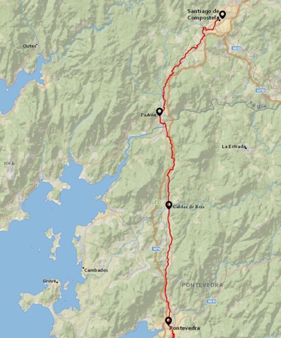
In late August 2020, with the world still under the heel of the COVID-19 pandemic, I walked the Portuguese Coastal Camino de Santiago over 12 days.
Back to Days 3, 4 & 5
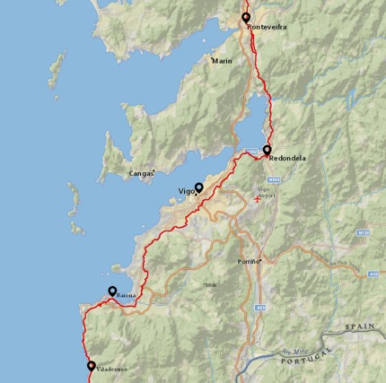
Day 6 – Villadesuso to Baiona – Spain – 14.6km
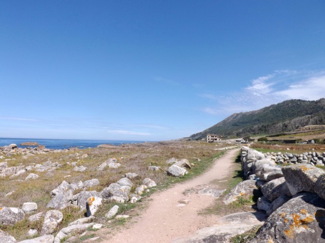
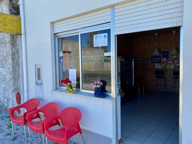
I left the Albergue looking for coffee and breakfast as I walked through the Villadesuso with nice views of the coast. I then ran into a Portuguese couple I’ve seen for the past two days and walked with them to Mougás, 2km away, where I found a cafe. After eating, I continued on along the side of the road, occasionally dipping down to the seaside before climbing back again. I met a carver outside his shop who was very friendly and offered me a stamp for my credential. We chatted for a bit, and I bought a Camino shell from him for my pack.
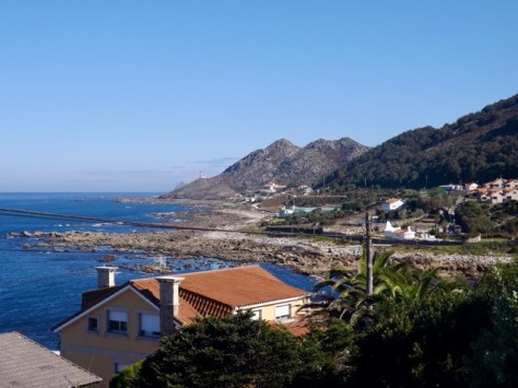
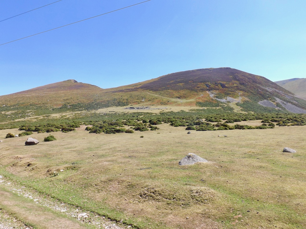
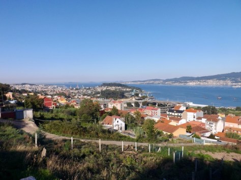
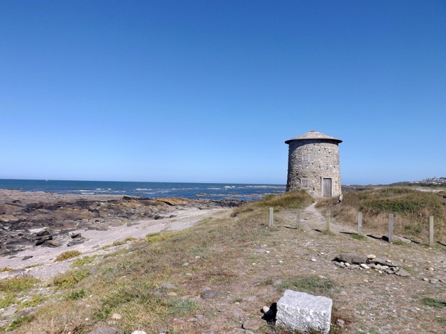
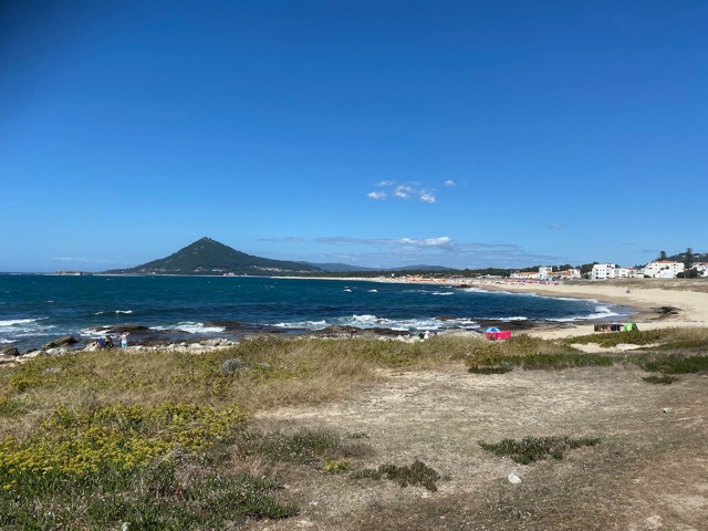
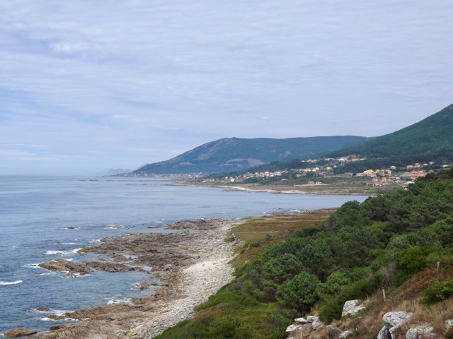
I continued along the coast, and when I reached the village of As Mariñas, with its small lighthouse, the trail climbed a hill. It was again nice to climb something, but it wasn’t difficult.
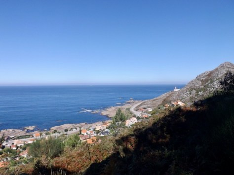
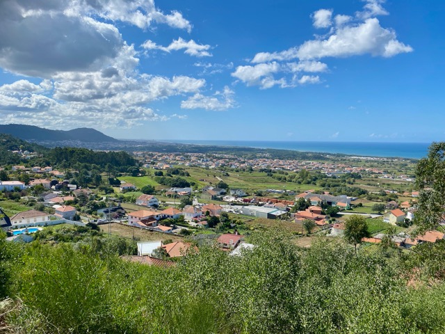
On the other side, the trail led down into the edge of a built-up area with views out onto the bay.
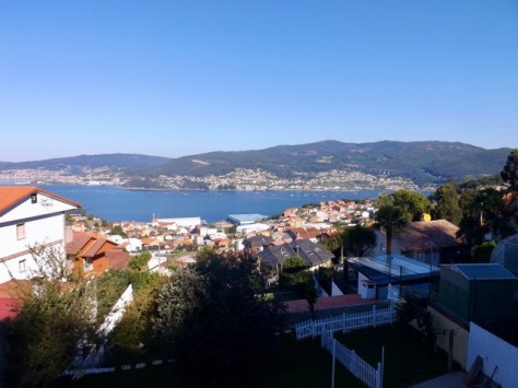
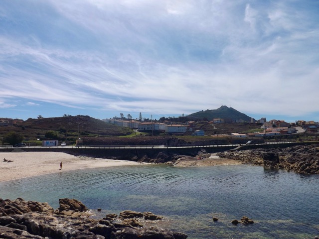
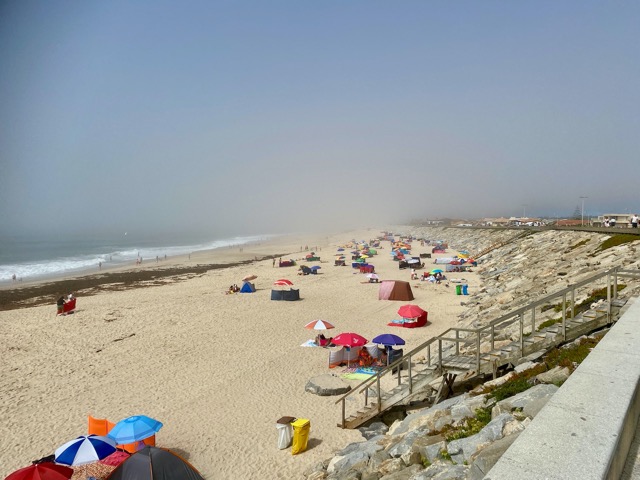
Further along and found the Portuguese couple at a pilgrim rest area. We walked on together for 3km before arriving into Baiona, a large tourist town on the beach. They continued on while I located my Albergue and showered before heading into town for lunch and a beer.
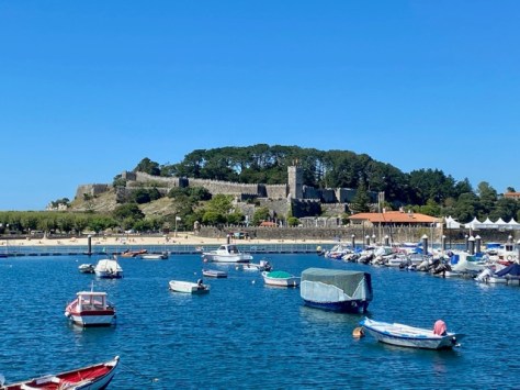
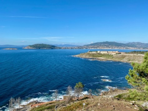
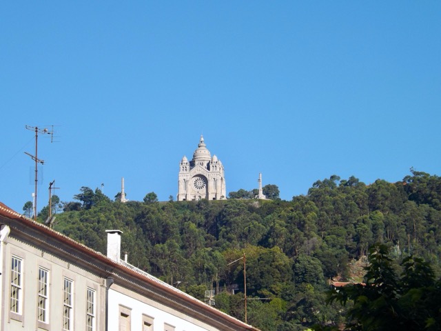
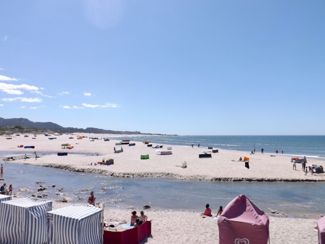
Afterward, I explored the tight streets, investigated the front of the castle on the peninsula, including the beaches on each side. I then went for a walk to the end of the bay, where I climbed a hill to the statue of the Virgin Mary – Virgen de la Roca.
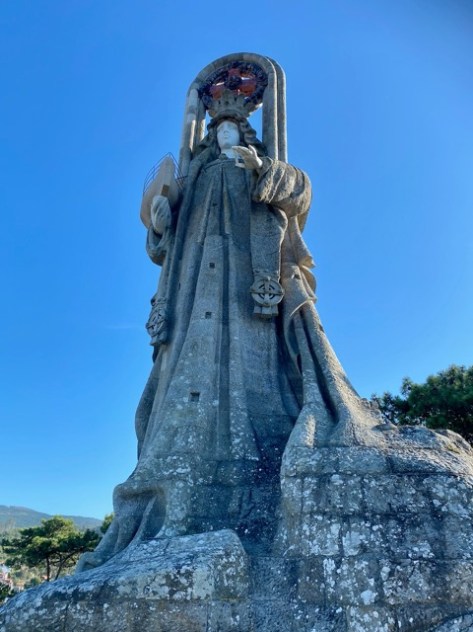
The height also gave me great views across the bay.
Day 7 – Baiona to Vigo – Spain – 30km
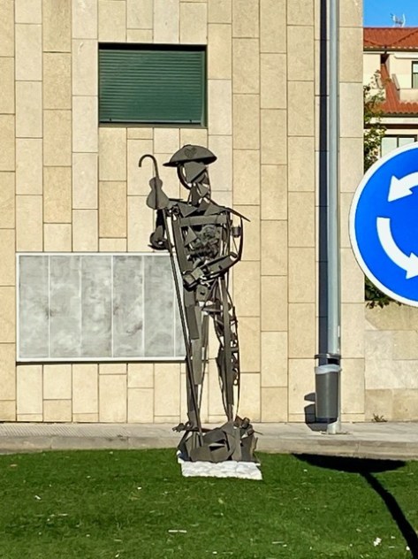
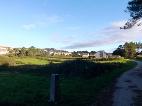
As much of today will be a slow process of walking into increasingly built-up urban sprawl, I was prepared for a boring day. I walked out of my hostel, and along the road to a local cafe for coffee, before finding a panaderia for some fresh baked goods. I then walked down the coastline road to the end of the shops before following it inland and up the hill towards A Ramallosa. After several kilometres through back streets, I came to Nigrán and, on the far side of a roundabout, found the statue of a pilgrim.
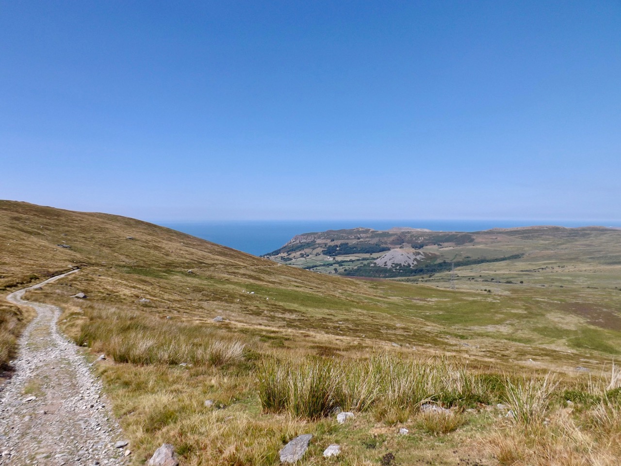
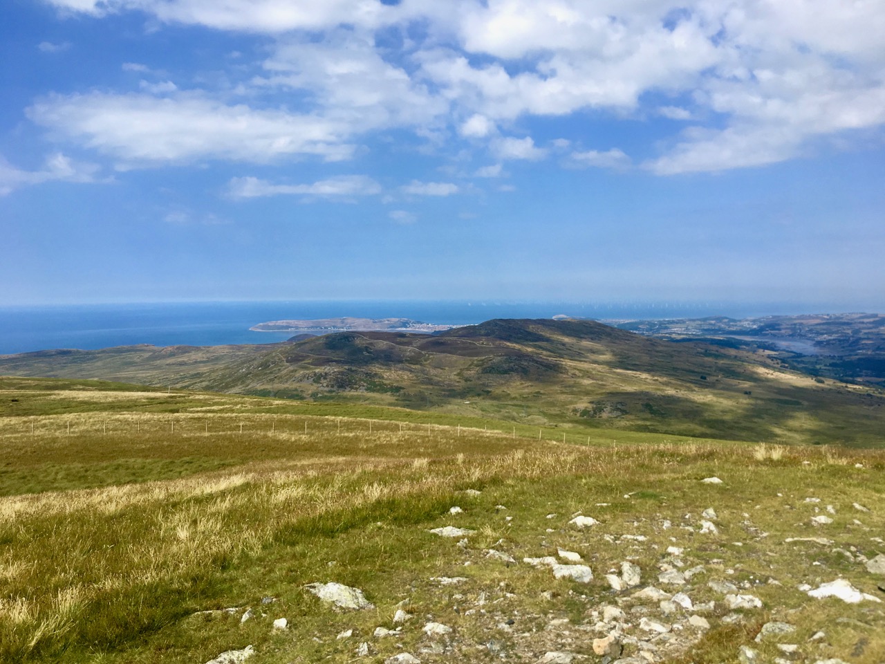
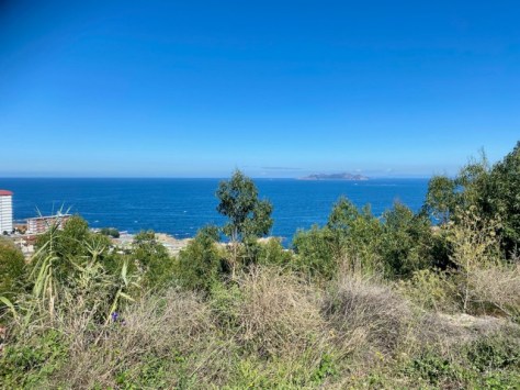
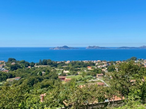
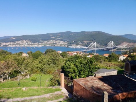
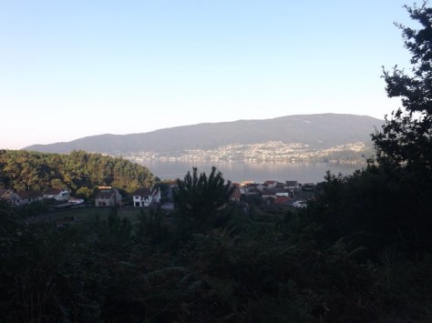
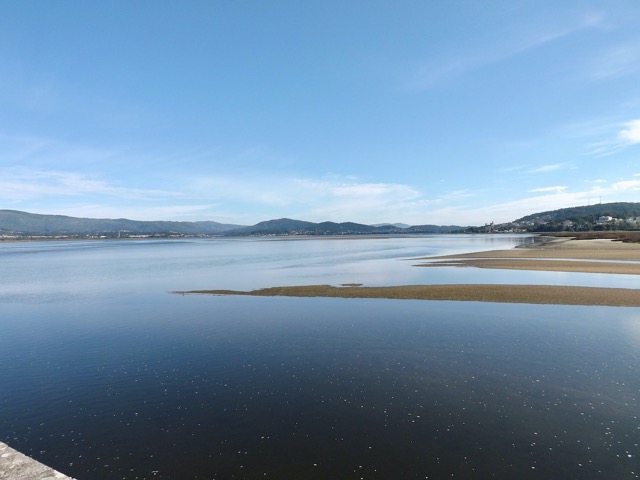
After Nigrán, the path began to climb but remained in the sprawl. As before, the height offered some views, this time across the bay of Ría de Vigo to two large islands, Illa de San Martiño and Illa de Monteagudo.
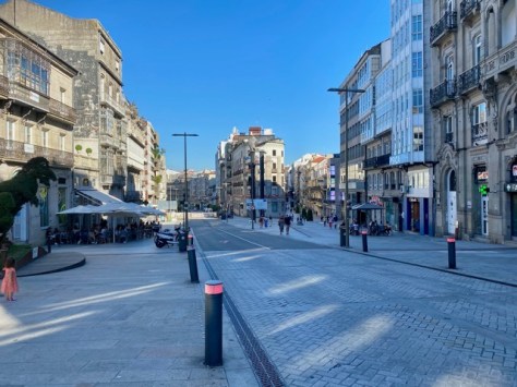
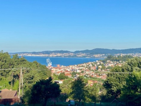
The path continued along, giving more views of the islands, but grew more steadily built up. I rounded the edge of the bay and entered the main built-up areas after Coruxo and began to see tall buildings in the distance. For much of the rest of the day, I walked through busy central city streets and roads. There is a fair amount to explore in Vigo, but it was hot, and I was footsore from all the pavement, so didn’t hang around. I then discovered my hostel was in the old town, a fair way away from the trail, so put my head down and marched on. I eventually arrived to find my hostel in what appeared to be a run-down area with plenty of graffiti and empty buildings. But after checking into the hostel and showering, I went for a wander. I turned a corner and came out on an open area filled with cafes, and on the far side, it opened into a large commercial area.
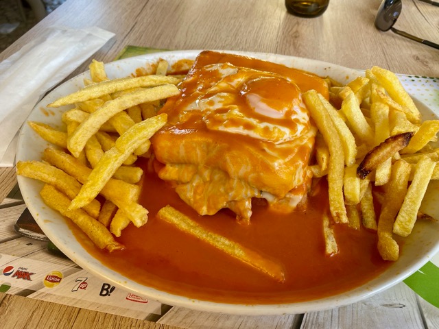
I hung around the area, chilling out at a restaurant, enjoying people watching and seeing the culture of the area as I drank beer. When darkness fell, other bars and restaurants opened, including a pizza place. I have enjoyed local food but had a hankering I just had to sate.
Day 8 – Vigo to Redondela – Spain – 17.5km
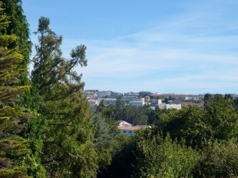
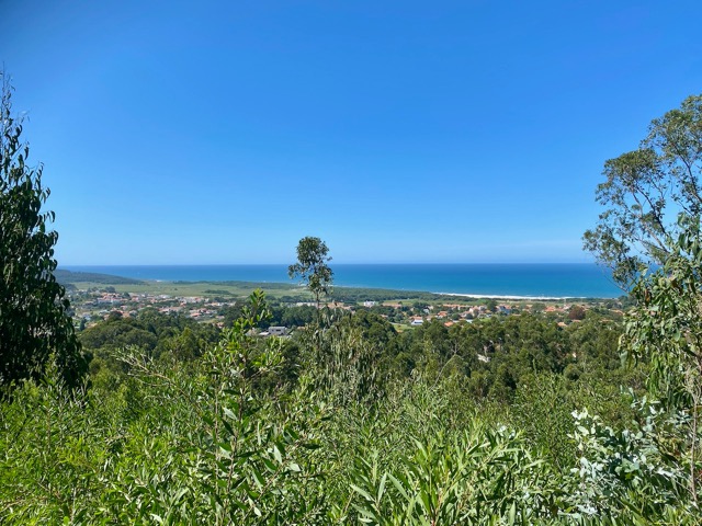
After breakfast in a local cafe, I headed a couple of kilometres up the hill back to the main path and continued on. The heat started early today, but it’s only a short day, so I wasn’t in a hurry. Over the next couple of kilometres, the path climbed up to about 150m and stayed there for much of the rest of the day, allowing me to enjoy the views along the way.
The trail and the views continued as I walked through the higher urban areas.
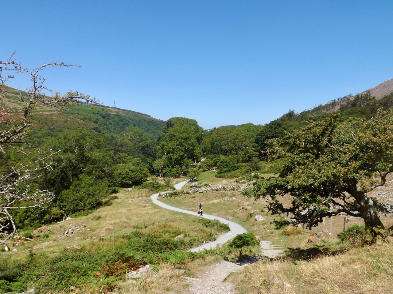
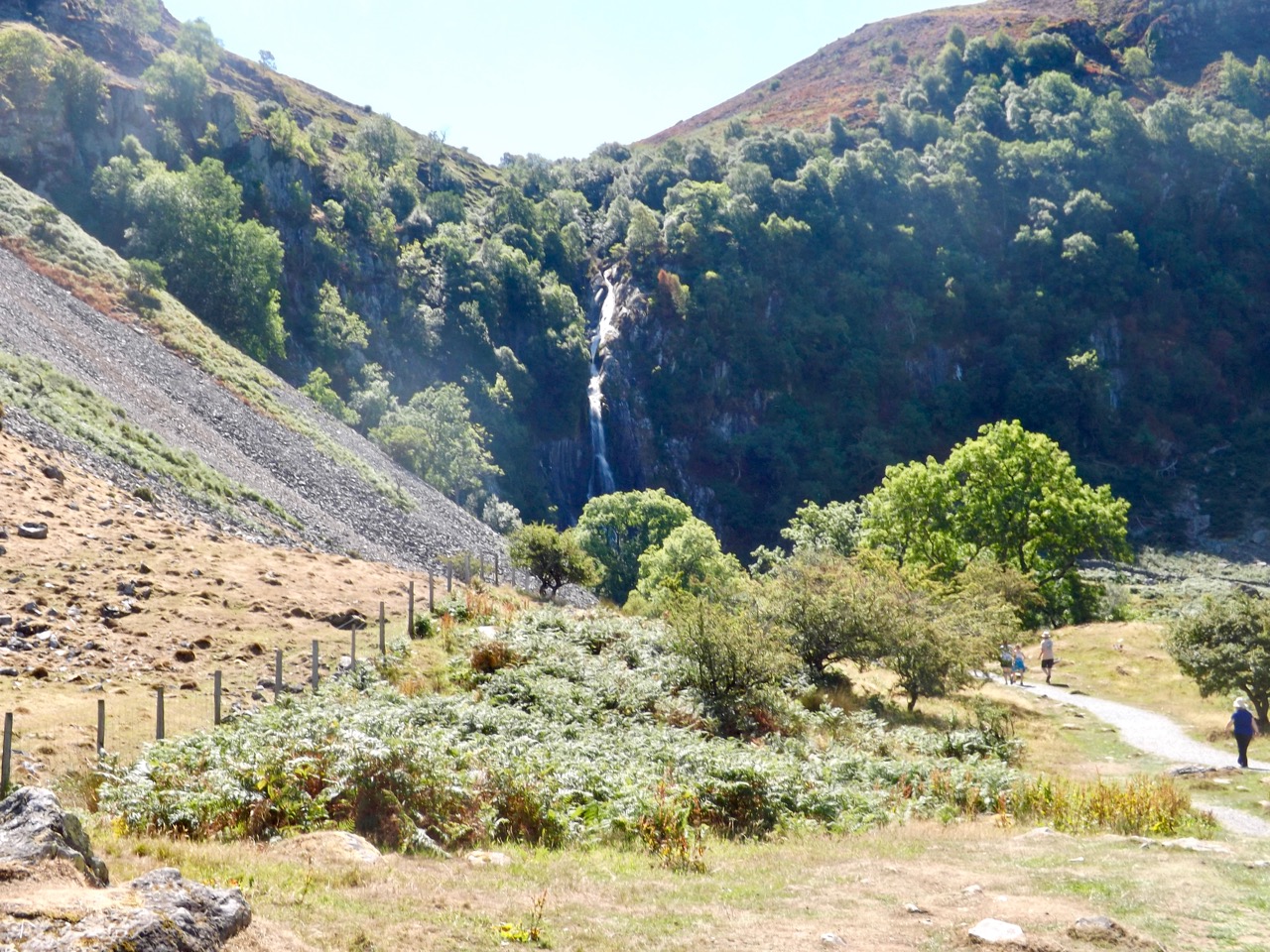
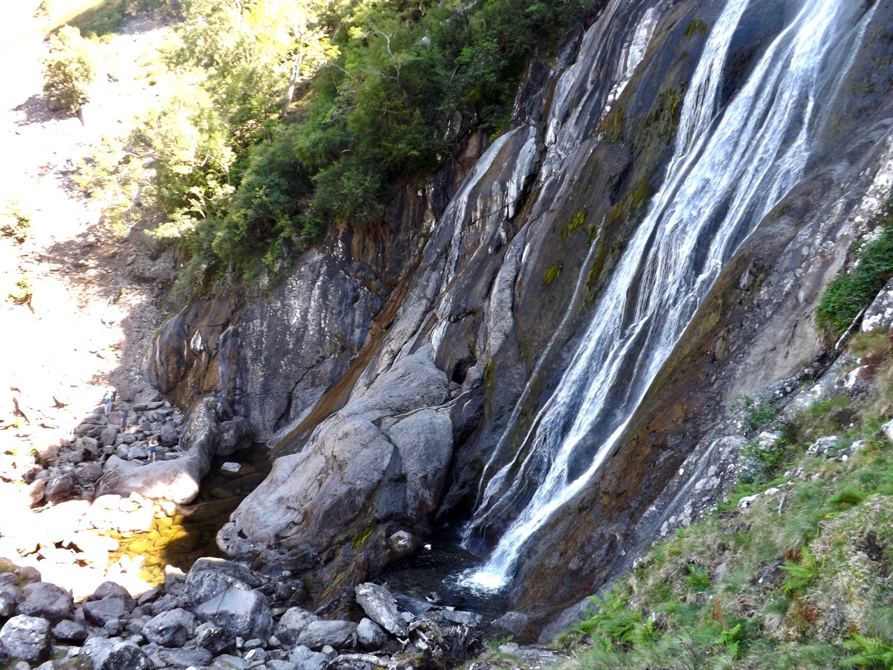
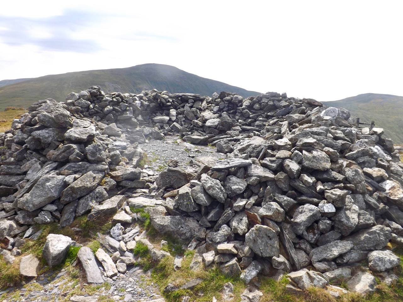
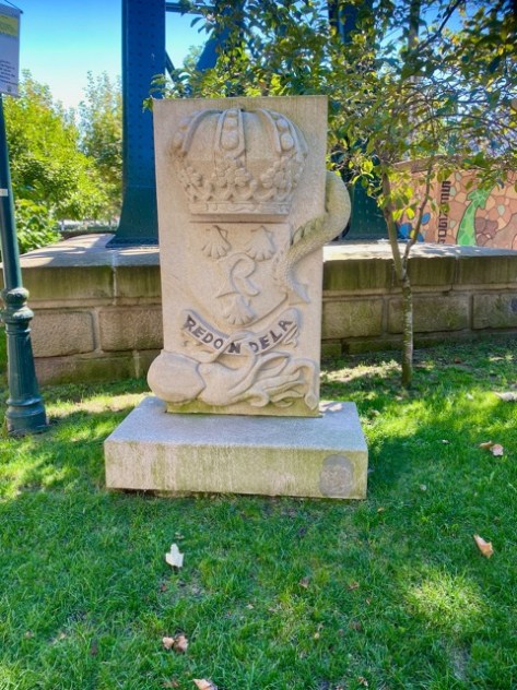
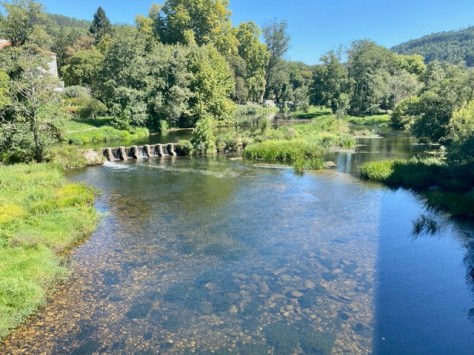
The pavement joined Senda de Agua – water track – a dirt path through the forest, past a small waterfall, and this painted rock.

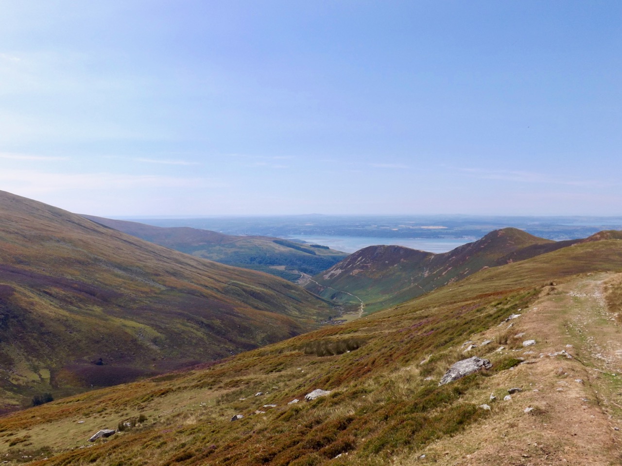
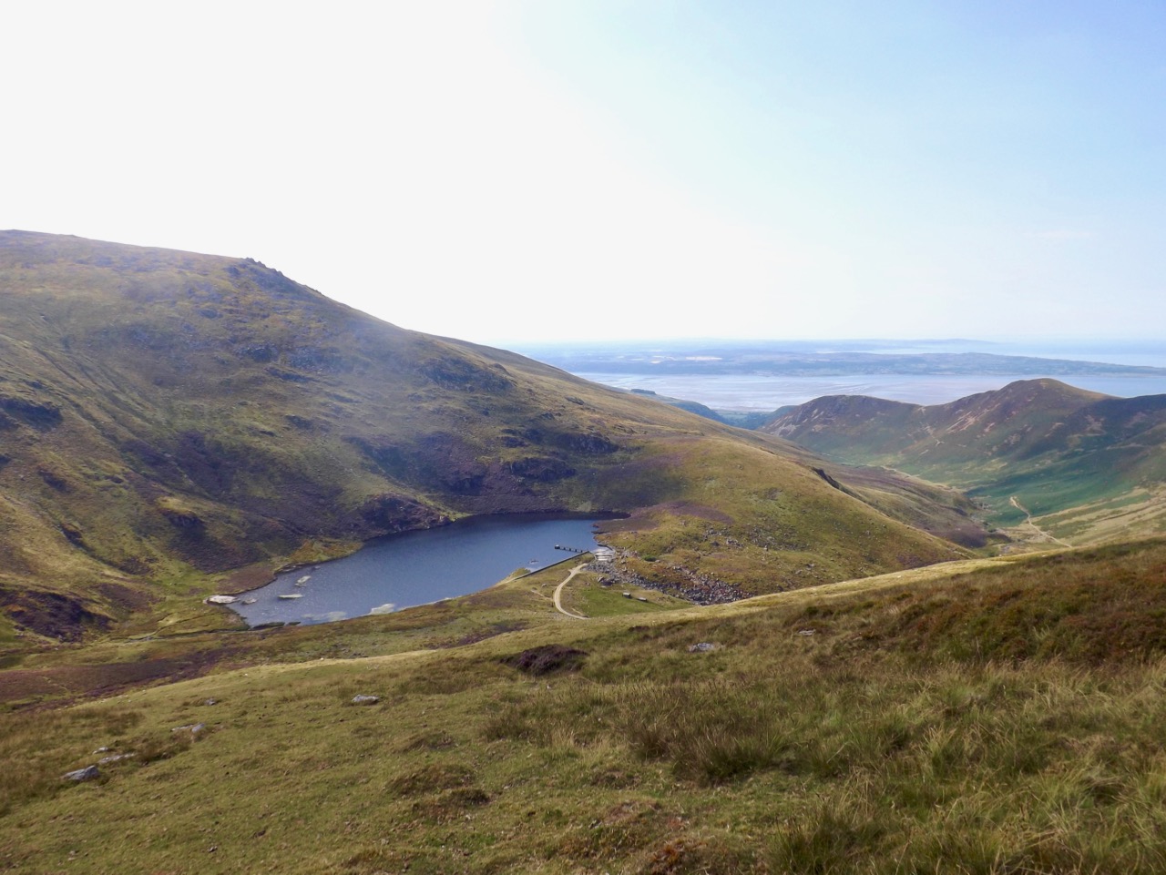
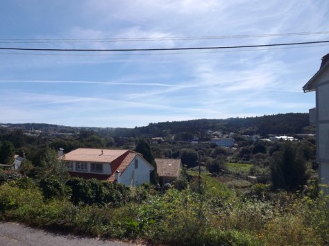
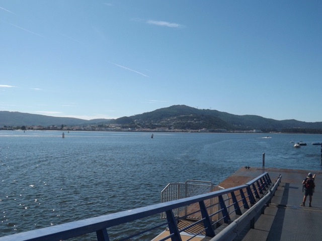
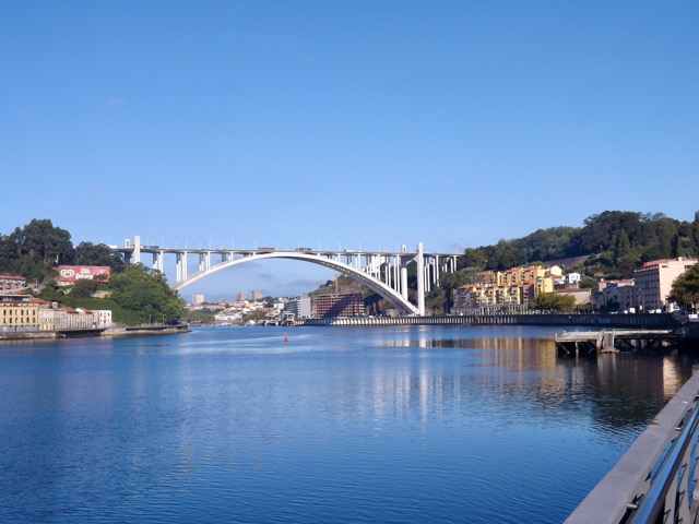
After several hundred meters, the track came out into the suburbs again, giving a view of Ponte de Rande before disappearing back into the forest.
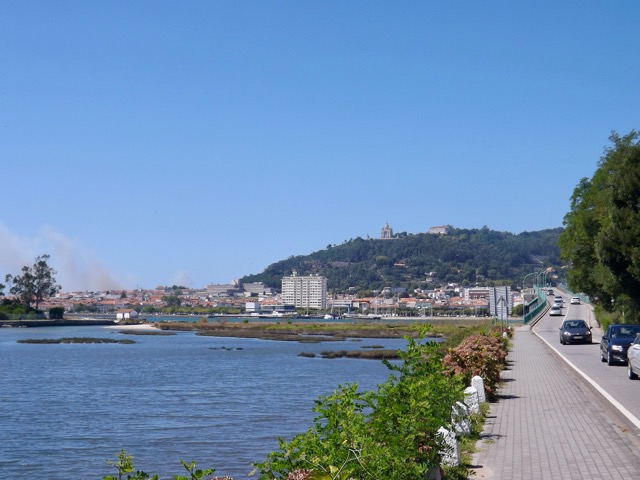
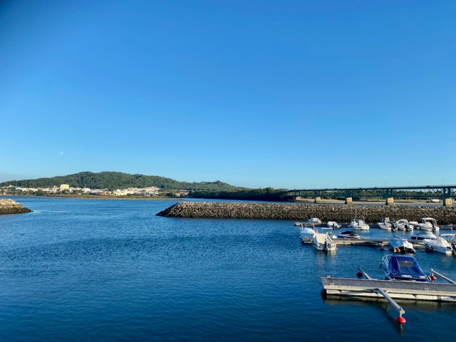
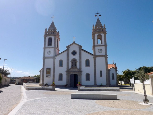
I began descending and emerged at another urban area near a church – the Igrexa parroquial de Santo André de Cedeira – with another view across the harbour.
From there, it was all downhill into Redondela, which is the official end to the Portuguese Coastal Camino. But this isn’t the end of my walk, the Central Route from Porto also stops here, and this is the trail I’ll follow the rest of the way to Santiago. The heat is apparent, and so is the fact the two trails have connected, as there are many more pilgrims on the streets and in cafes.
After finding my Albergue, I showered and headed back into town, where I found the Celtic Lead Irish Bar and enjoyed lunch and a couple of beers. I then met up with a Portuguese couple I’d crossed paths with since Esposende, and we wandered the hot streets before finding our way back to the Celtic Luad for more beer.

Day 9 – Redondela to Pontevedra – Spain – 19.7km
As I prepared for today’s walk, I watched several groups of pilgrims go past in the dark outside the hostel. I’m up early today as it’s going to be another hot one. And now I’m on the Central Route, the number of pilgrims has noticeably increased. I head out and follow the cobbled town roads on my way out of town. After passing several peregrinos, I stopped on the main road for breakfast and a coffee. I then raced on along the road for a short time before coming to a street vendor selling fruit and drinks, but more importantly, offering stamps. I stopped for another coffee before heading off again, passing a group of five Spanish girls on the side of a busy highway. The path then led through a small village with a pair of Albergues and yet more pilgrims. The hard road turned to a dirt road surrounded by trees and began climbing slowly as it made its way around the end of the Ria de Vigo bay.
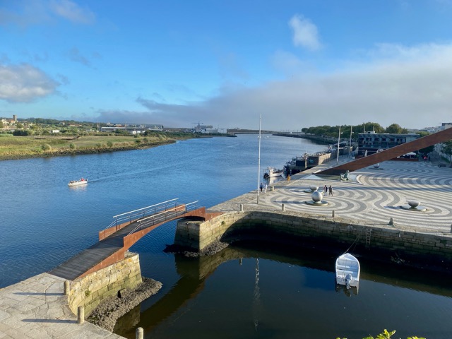
The trail headed back into a built-up area before heading down a steep downhill to the main road. At the end of the bay, I came into the village of Arcade and crossed the river that fed into the bay.

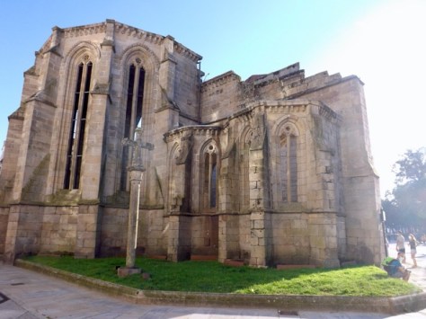
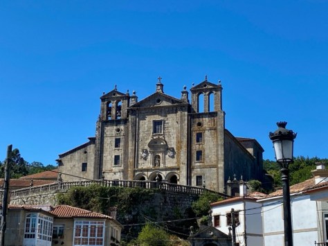
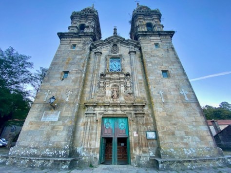
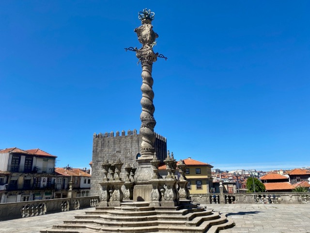
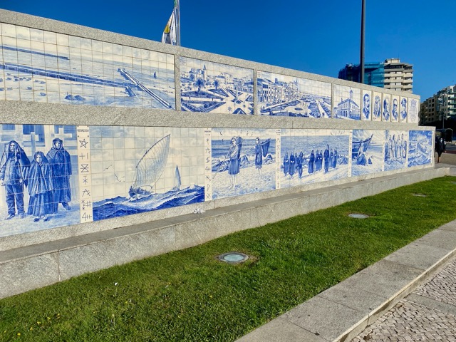
On the bridge, I ran into the Portuguese couple. I walked with them for the rest of the day following the road through several villages as we made our way to Pontevedra, the capital city of Galicia. We stayed in the same Albergue and after showering we walked around the city to see its sights, two grand churches…

…a bridge, a convent, and the ruins of an ancient church.
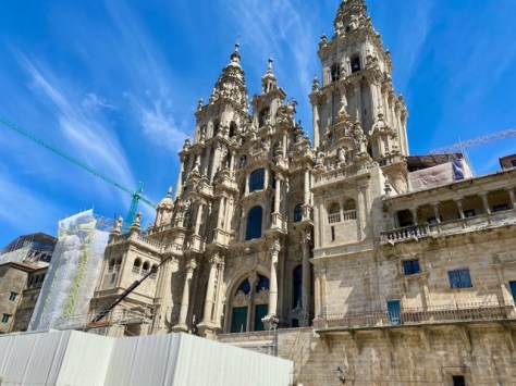
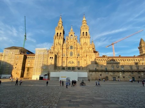
Next, Days 10, 11 & 12, where I finish my pilgrimage in Santiago de Compostela.
The Lone Trail Wanderer


 re
re