While it took ten months to work my way up the massive continent of South America, three months seemed only a short time to explore the Central America sub-continent even though it’s barely larger than Colombia. But since I was in the neighbourhood…

Panama
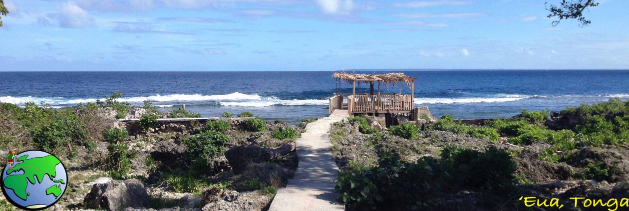
San Blas Islands
With no straightforward bus route from Colombia to Panama, I chose a five-day cruise through the San Blas Islands, finishing in Panama City. The San Blas Islands are a glorious chain of islands in the Caribbean Sea, but make sure you do your research as the cruises aren’t always up to standard.

Panama City
After so long in South America Panama City feels a little like home with its massive skyscrapers, malls, cinemas and fast food chains. When travelling long-term you lose the sense of time and on arrival in Panama days before Christmas I forget that it was prime holiday season for the locals. With most of the holiday destinations booked solid and long lines to get on any buses, I decided to spend the holidays hanging around the city. While there I visited the colonial old quarter of Casco Viejo, the canal and the ruins of Panama Viejo.

Being in Panama City feels like being in the United States. There are so many Americans and I rarely needed to use my spanish skills as most people spoke english.

Bocas del Toro
After the holiday break I headed west to Bocas del Toro, an archipelago on the border of Costa Rica. In the surf/party town I took the opportunity to spend a day on a catamaran snorkelling around the reefs and another sitting in a hammock at the hostel.

Boquete
Then taking a chicken bus, I spent three days in the cooler climes of the mountain town of Boquete. While there I climbed the tallest mountain in the country – Volcán Barú. The views were wonderful from the top, but starting the 26km hike at midnight is difficult. So to recover I spent time in some natural hot springs just outside of town.

Costa Rica
San José
Costa Rica has a reputation for being the most expensive country in Central America. From the capital, San José, I took a tour to the top of a volcano before boating along a river to see monkeys, a sloth, caimans, crocodiles and many different types of birds. It was during this tour that Iguana was served for lunch.

Liberia
Next I headed north to the city of Liberia from where I visited the beach town of Playa del Coco and a set of waterfalls.

Nicaragua
San Juan del Sur
My first stop in Nicaragua was the surf town of San Juan del Sur. A beautiful place to spend a couple of days with bars and beach-front restaurants aplenty. The town even has a statue of Christ atop a hill at the end of the beach.

Isla Ometepe
No trip to Nicaragua is complete without catching the ferry across Lake Nicaragua to Ometepe Island with its pair of volcanos. Cruising around the volcanos on a scooter is a lot of fun, visiting beaches, cafés and thermal pools. Both volcanos are climbable and a group of us scaled the largest of the two.

Granada
Next, I was on a bus to the touristic city of Granada at the northern end of the lake for some amazing food and a visit to yet another volcano, this one spewing smoke from the crater within its crater.

León
Then a quick stop off on the city of Léon to go hurtling down the side of an active volcano on a volcano board.

Honduras and El Salvador
With limited time, I set foot only briefly in both countries, mainly at customs on the borders. San Salvador, the capital of El Salvador seemed nice though for the thirty minutes we stopped there for lunch.
Guatemala
Antigua
Most travellers in Central America rave about Guatemala. I arrived into Antigua to find another touristic city at the base of another volcano. Unlike other parts of Central America, Antigua has a lot of colonial architecture, although after numerous earthquakes over the centuries, many are in ruins.

San Pedro la Laguna
I enjoyed a couple of days in San Pedro la Laguna on Lago Antitla with its thin streets, crazy Tuk Tuk drivers, great small restaurants and amazing lake views.

Flores and Tikal
Then after a brief visit back in Antigua, I caught a bus to the north of the country to the island of Flores on Lago de Petén Itzá.

Flores is a tourist destination and gateway to the great Maya ruins of Tikal, where I spent several hours exploring.

Belize
Caye Caulker
Then on the one year anniversary of my time in Latin America I arrived in Belize, an english speaking country. Staying on the party island of Caye Caulker, I spent some time in the pristine waters snorkelling with Nurse sharks and Eagle Rays, some larger than I am.

Mexico
While Mexico is actually in North America I included the southern portions as part of my Central American adventure. From Caye Caulker, I caught a ferry to Chetumal in Mexico and stopped for the night before heading on.
Palenque and Yaxchilán
After an eight-hour bus ride I arrived at the city of Palenque to continue The Maya Ruins Trail I began at Tikal. My first stop was the peaceful ruins of Yaxchilán and its connected site of Bonampak on the Guatemalan Border.

Next it was to the Palenque ruins only twenty minutes out of the city.

Merida and Uxmal
Four hours north in the Yucatán is Merida, a large and popular touristic city and the nearby ruins of Uxmal and one of its satellite cities, Kabah.

Valladolid and Chichén Itzá
Then it was across to the city of Valladolid to see Mexico’s most visited archaeological site, Chichén Itzá, seen by more people every year than Peru’s Macchu Pichu.

Tulum
Then it was back to the Caribbean Coastline to the town of Tulum and the Maya fortress of the same name.

Cancún and Playa del Carmen
The final distinction in my thirteen month trip through Latin America, Cancún, where I did little more than prepare for my exit from Latin America, but managed a quick visit to the beaches at Playa del Carmen.

Next, is a well deserved rest from travelling for six months to save and plan a year through Asia.
Adios America Latina,
The World Wanderer.


