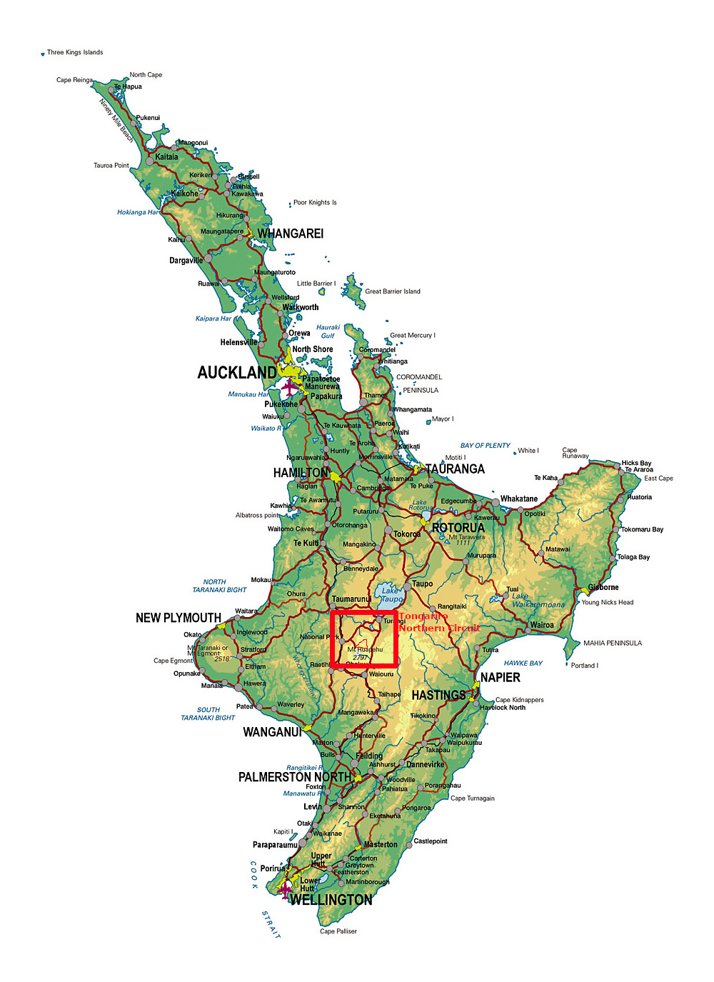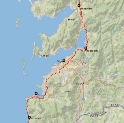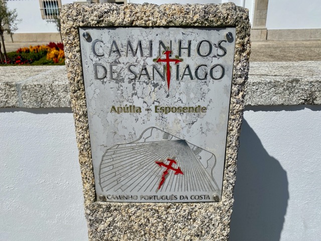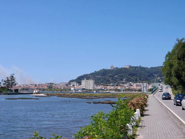
In mid February 2023, I found a gap in the rainy summer and headed to the central North Island of New Zealand to walk the four day Tongariro Northern Circuit. See Day 2 here.

Day 3 – Oturere Hut to Waihuhuno Hut – 3 hours 45 min – 8.1 km (Green trail)
While the hut was full overnight, I’m thankful for being in one of the quieter smaller rooms, especially when people started moving around in the morning. Day three is the shortest of the hike, with a stated 3.75 hours of walking before arriving at the next hut. With Day 4 also being a shorter day some people merge the two and walk out on Day 3. I’m taking the more chilled approach and walking two short days.
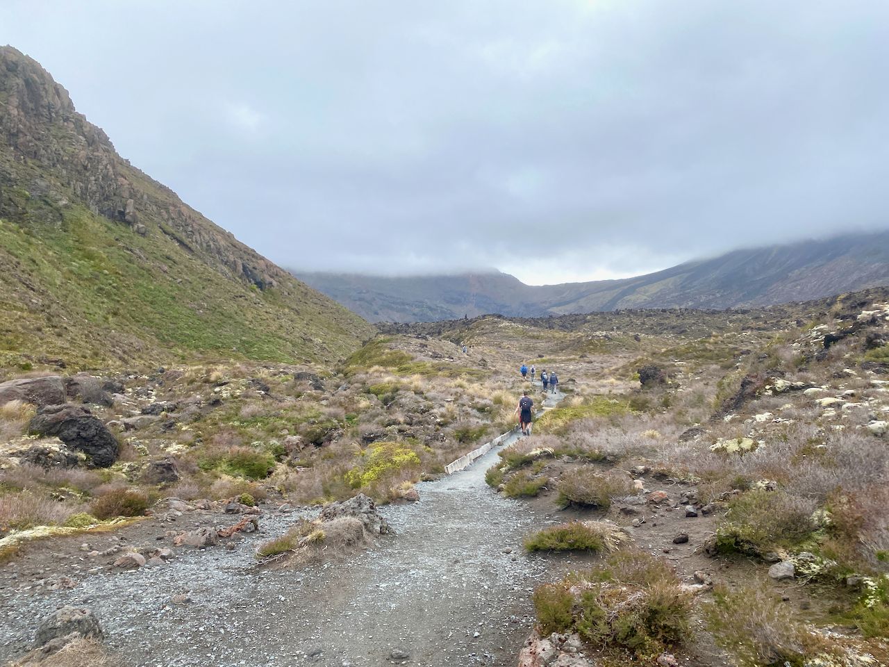
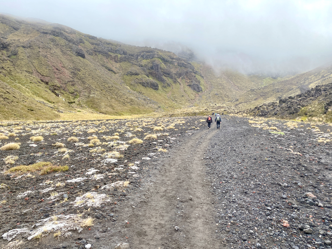
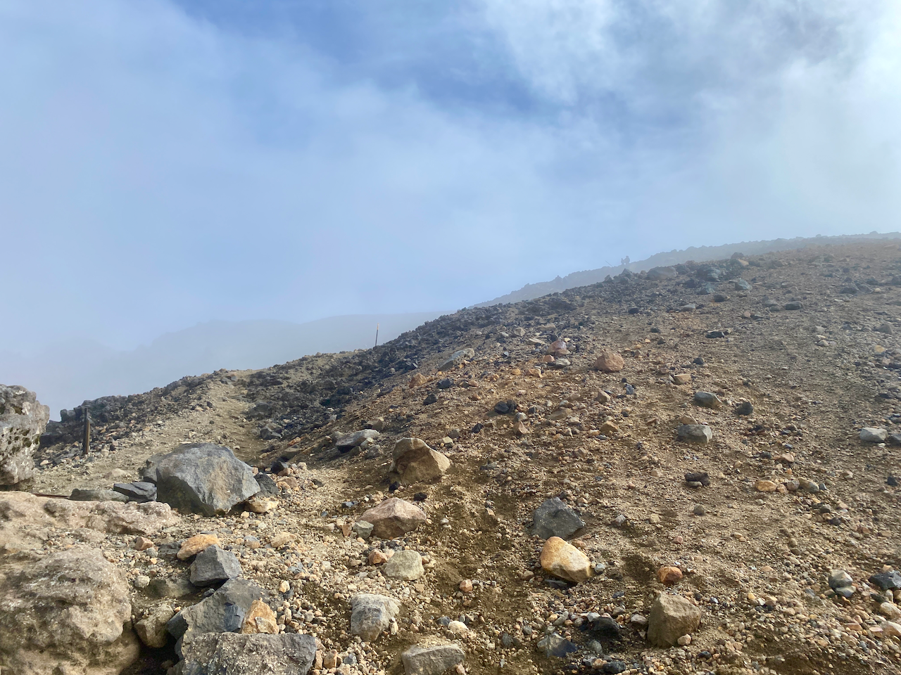
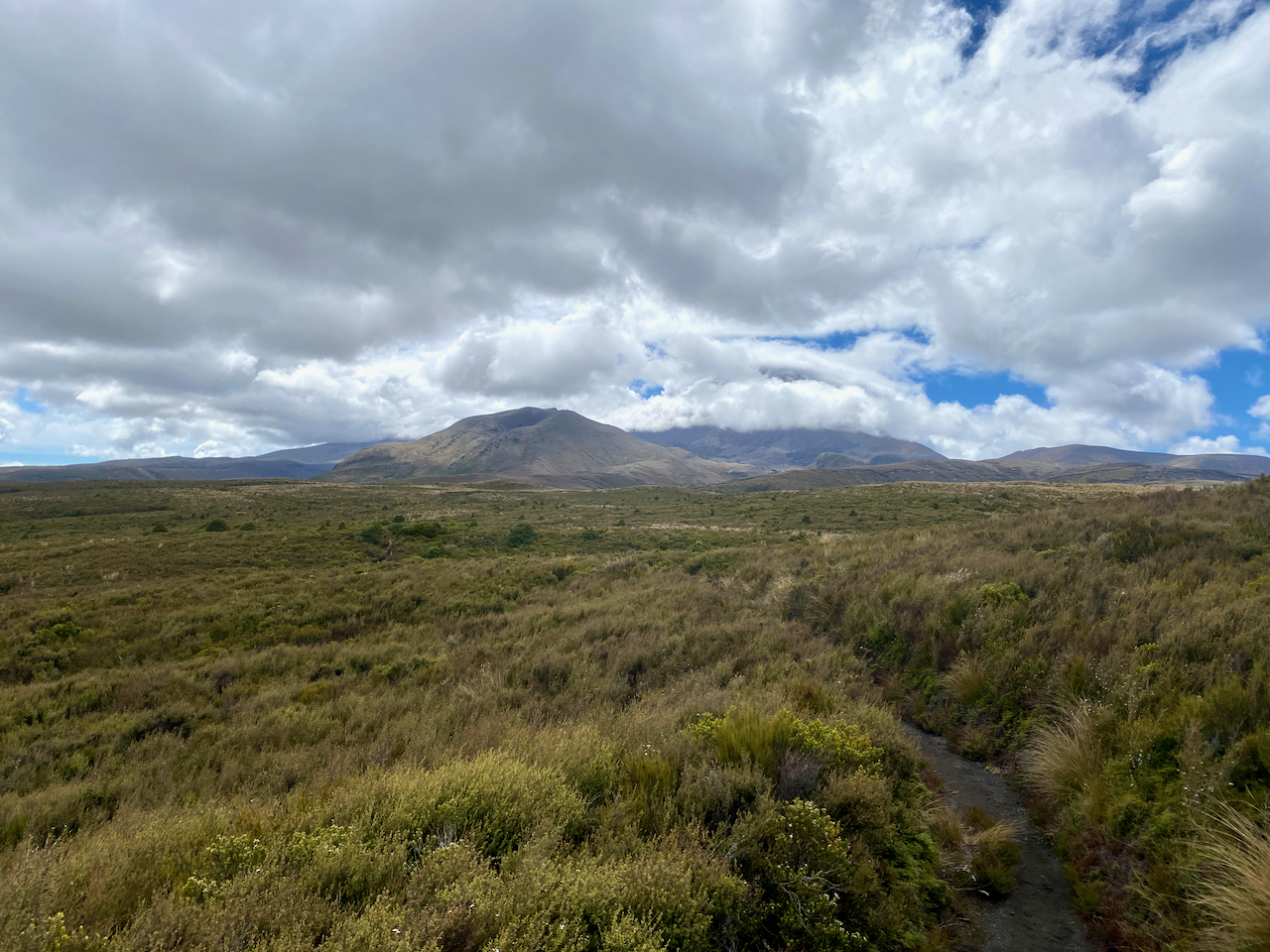
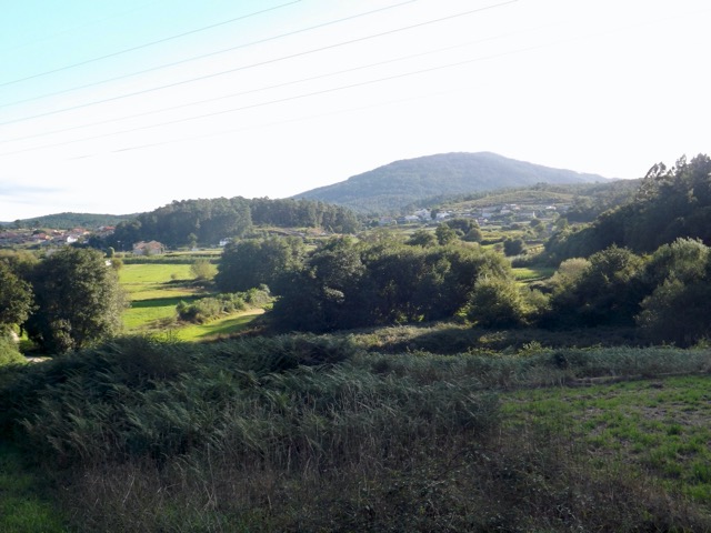
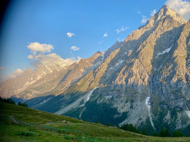
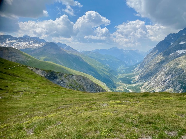
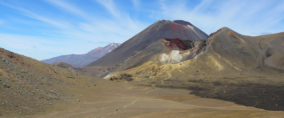
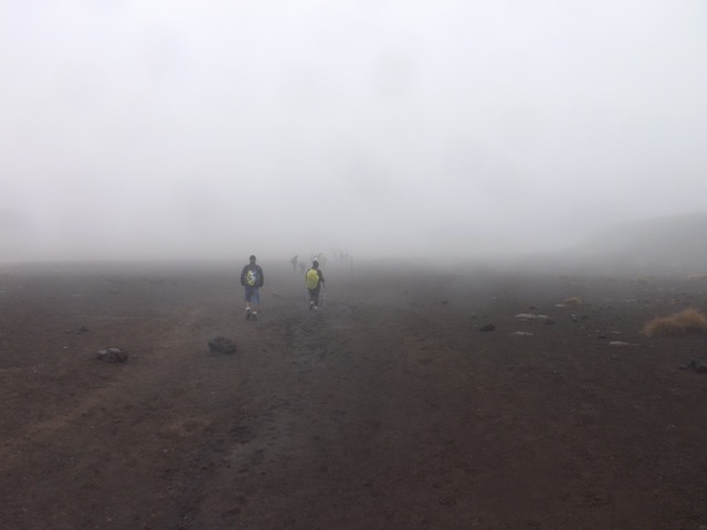
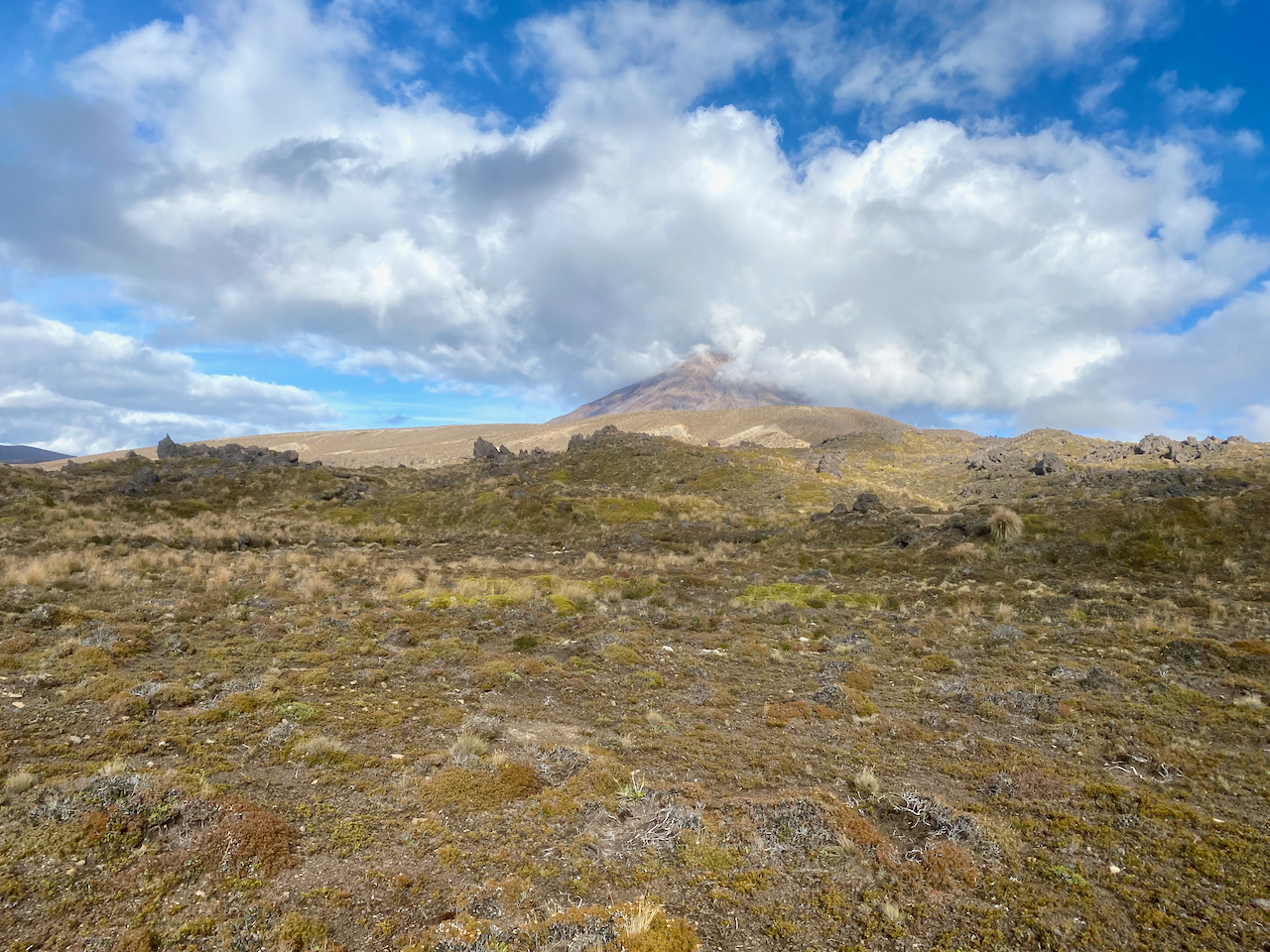
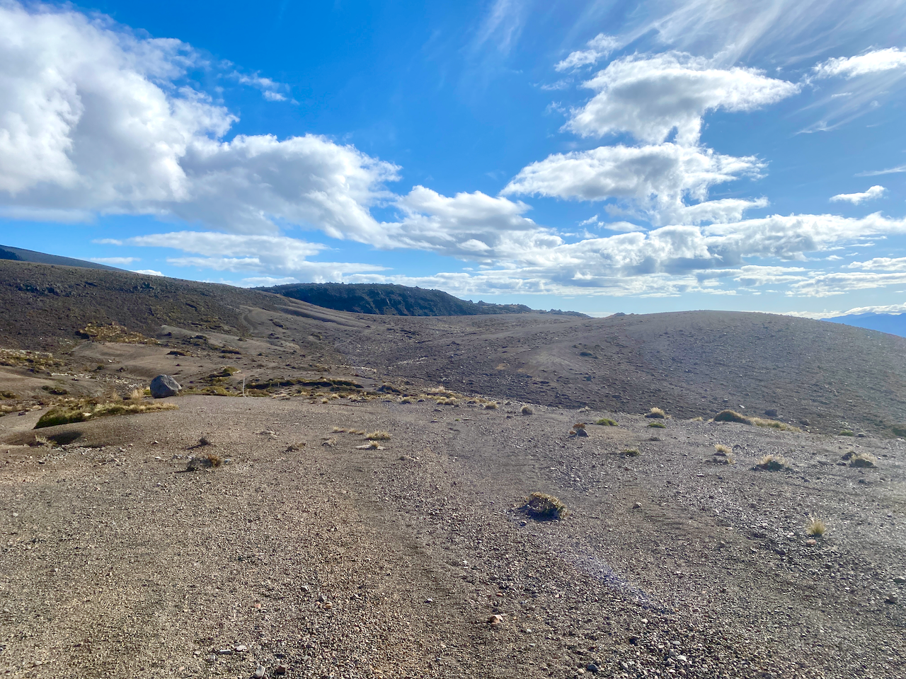
I headed out from the hut in the sun and back into the sandy hellscape of the final hour of yesterday’s walk. Clouds hung quietly around Ngauruhoe as I walked.
I soon headed down the descent of the day, a steady but short rocky downhill towards a babbling brook running down from the mountains. In the distance I could see the Australian family.
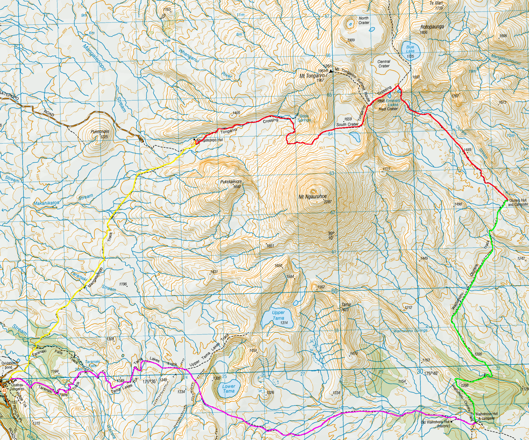
On an easy path, I quick marched up the next small climb, nothing too taxing.
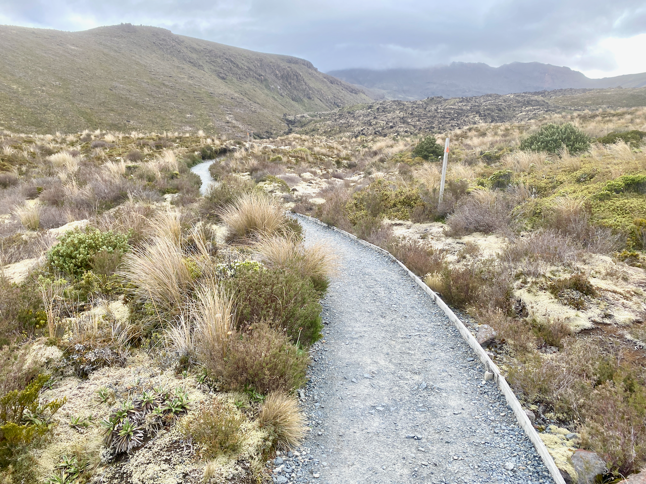
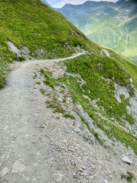
For the next hour, the trail undulated up and down rocky and sandy short hills. I flew past the Aussie family who were, in their own words, just ambling today.
Heading ever towards a tree covered ridge line in the distance, I spied the Italian newlyweds ahead.
With the tree covered ridge to one side, I sped along a sandy ridge to eventually pass the Italians on the downward climb at the end.

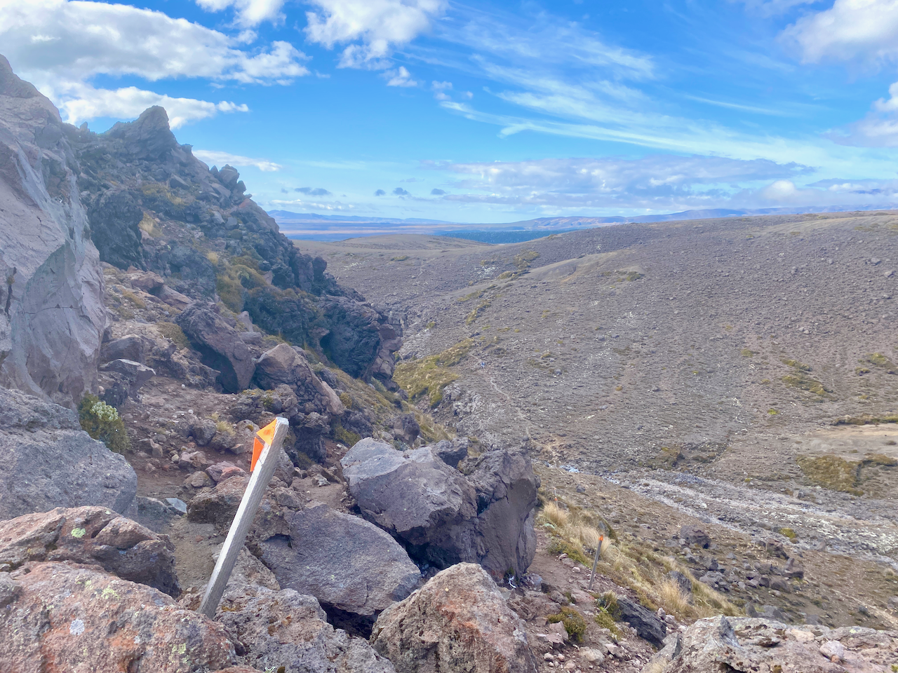
Halfway down, the trail dove into the trees.

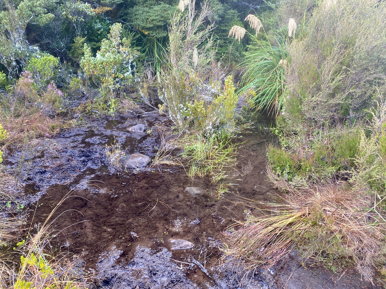
At the bottom, beside a large stream the mud puddles began. Nothing too seriously thankfully.
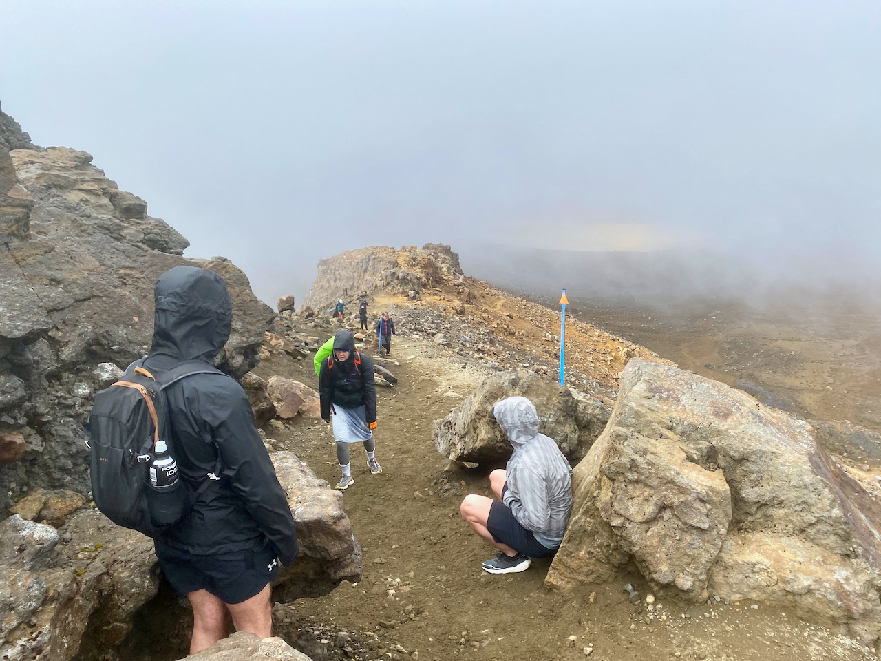
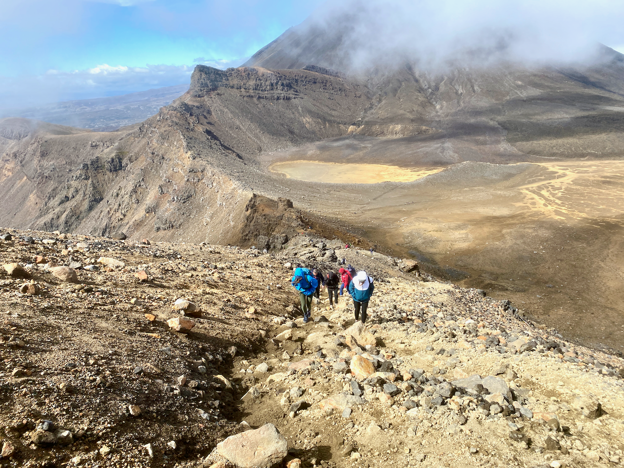
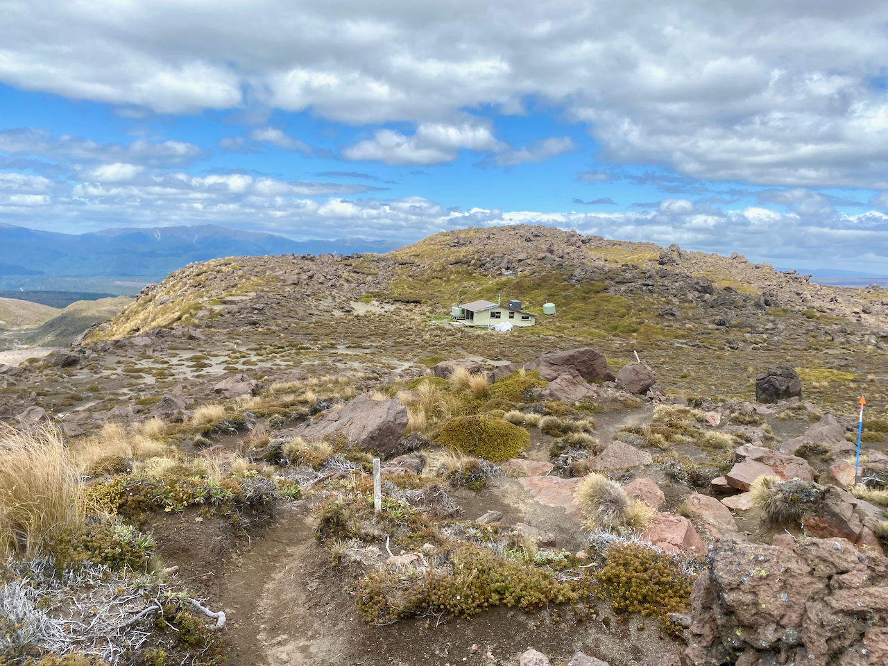
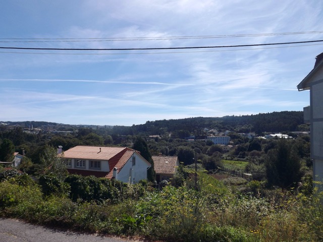
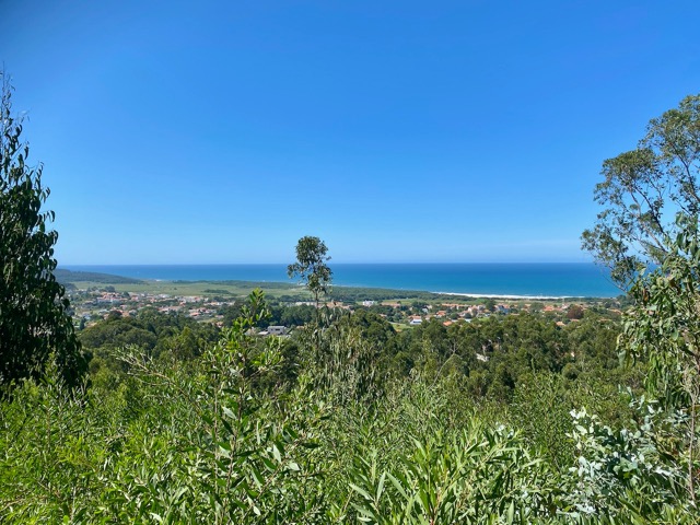
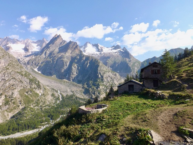
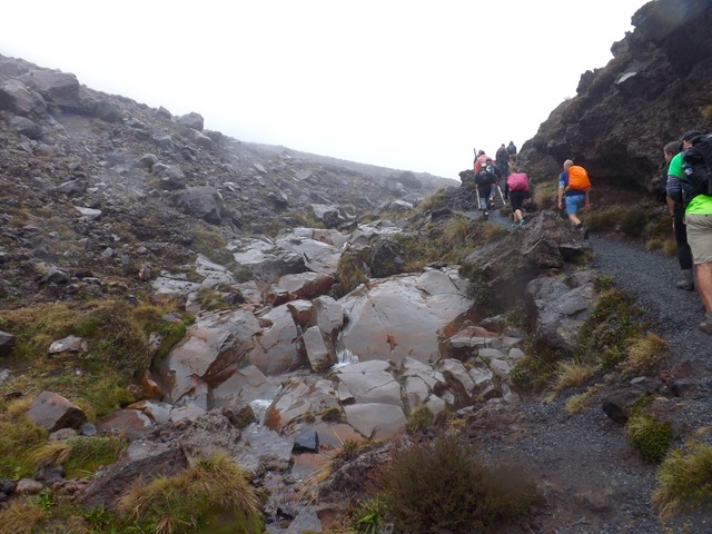
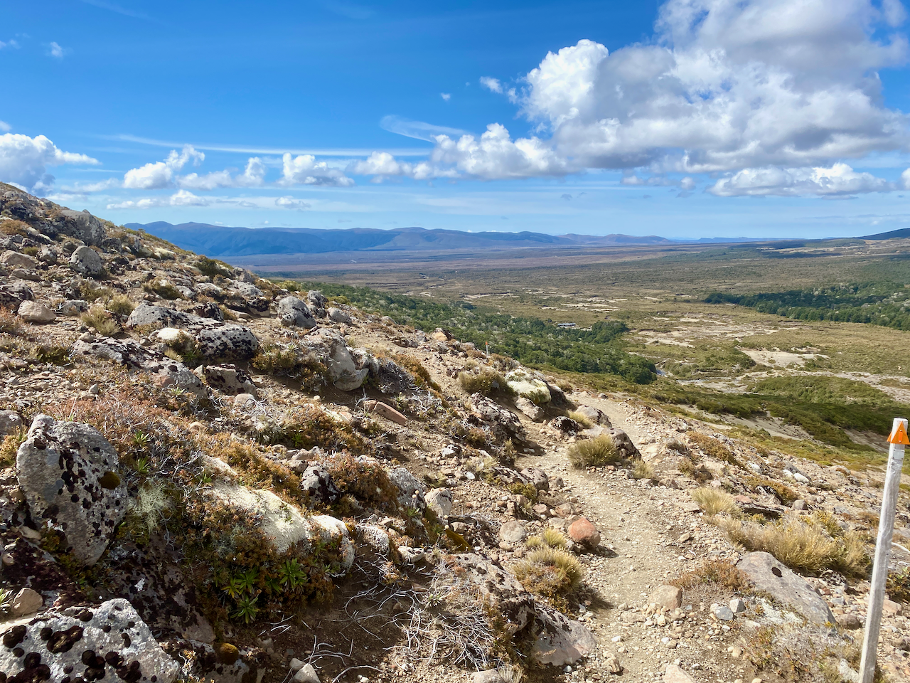
Then the steepest climb of the day, up to the top of the tree-covered ridge, passing a trail runner and two groups of hikers heading the other way. I came out of the woods at the top, climbed a small hillock off the trail and sat for 10 minutes in the sun. Then heading down the other side I got the first views of the tonight’s hut.
Compared to the previous two huts, this one was a veritable mansion with large bedrooms and a massive indoor and outdoor seating area. Inside the main windows gave great views of the Mt Ngauruhoe. In the afternoon, the rain came in spits and spurts. Up behind the hut, to one side of tomorrow’s path, in the tussock was what I described as the 4G zone, although spottier than previous huts. At one point there were a bunch of us in the tussock 4G zone, hunting the service in what became known as 4G yoga as we stretched this way and that with our phones.

Overall, the walking time was supposed to be 3 hours 45 minues, but I managed it in 2 hours 20 minutes including the 10 minute sit down at the stop of the last ridge.
Day 4 – Waihuhuno Hut to Whakapapa Village – 5 hours 45 minutes – 15.4km (Pink trail)
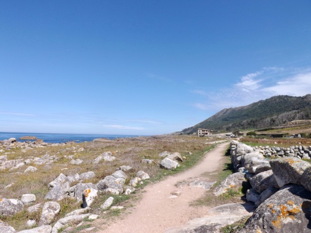
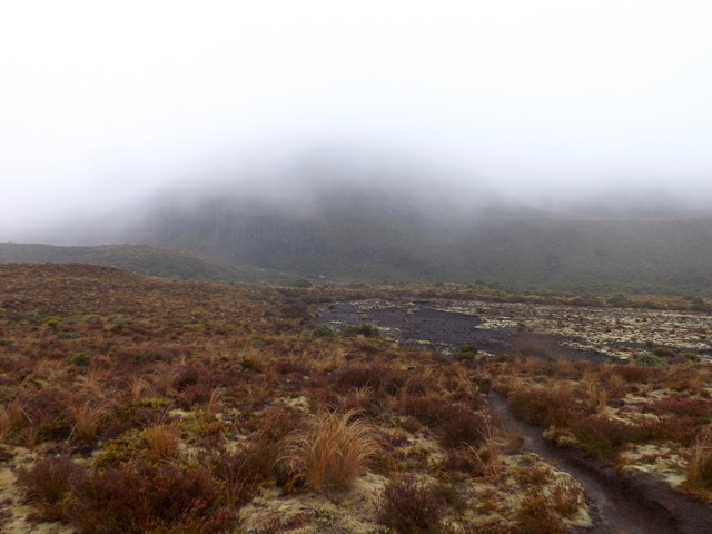
The hut was fine overnight, with the usual issues revolving around those who want to get away early waking everyone while trying to be quiet. With a day estimated at 5 hours and 45 minutes, I planned to leave at 8am so that I’d finish at 1:45 and then arrive at my accommodation at the 2pm check in time. But as today is fairly flat, I’ll likely finish early. I set out into the overcast day, headed past the 4G tussock patch and up some stairs. After ten minutes I came past the turnoff to the old Waihuhuno historic hut. I stopped to check it out.

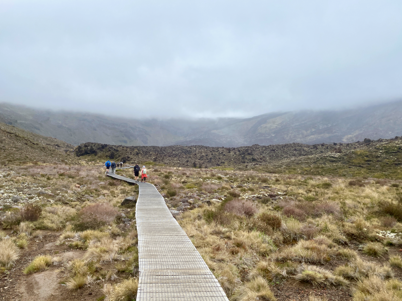
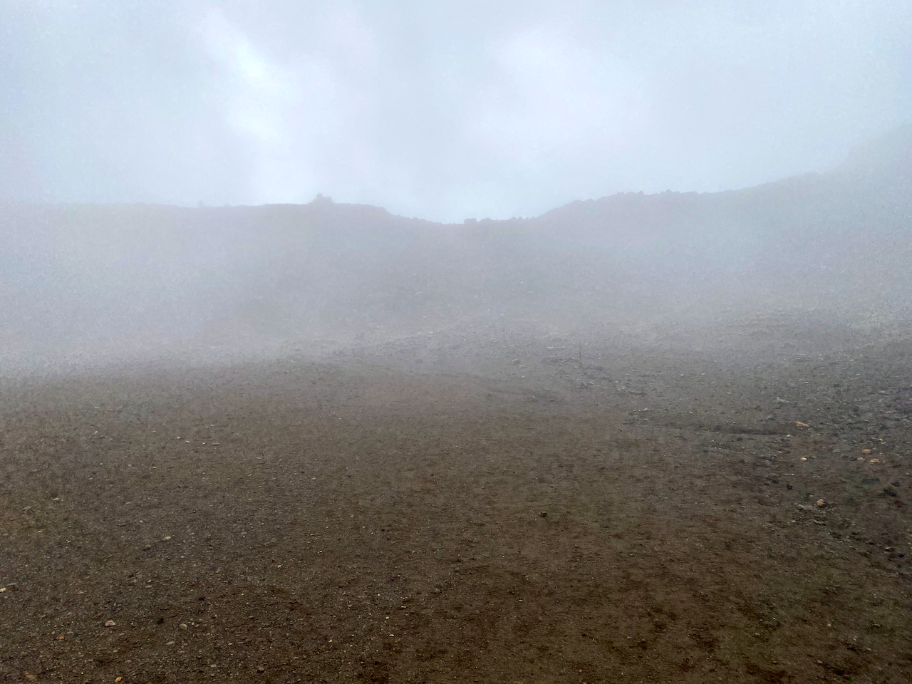
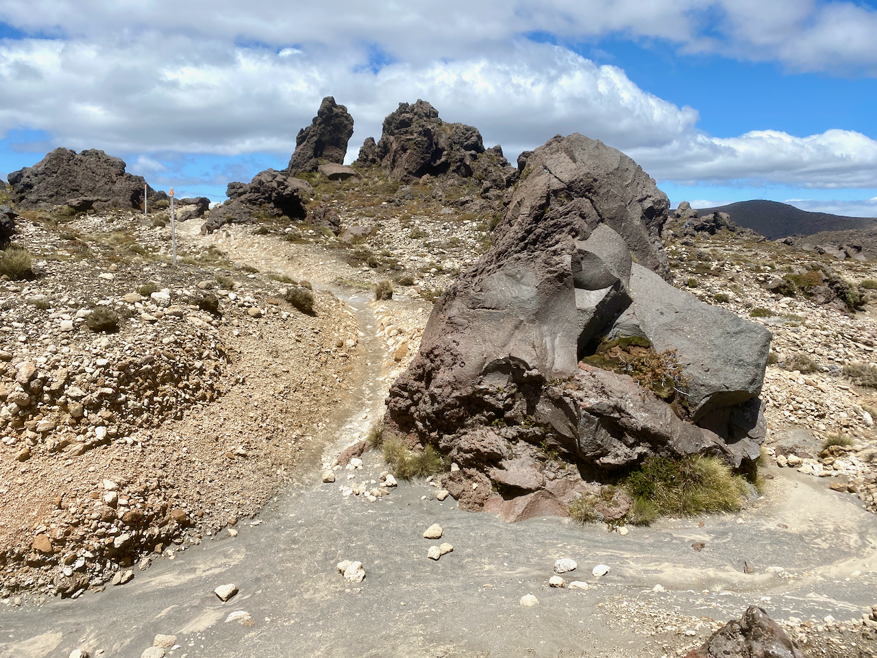
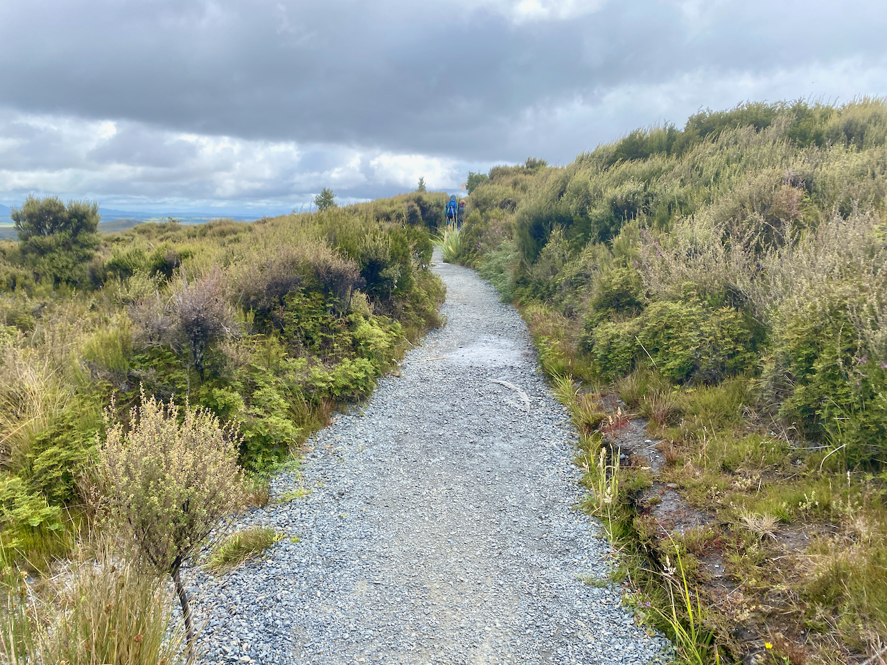
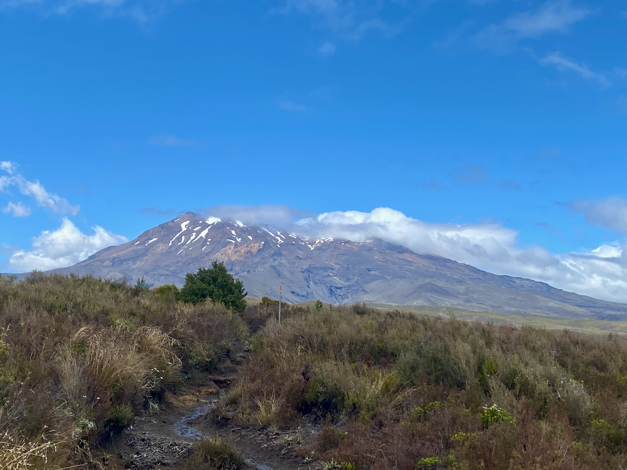
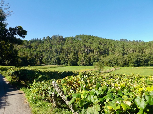
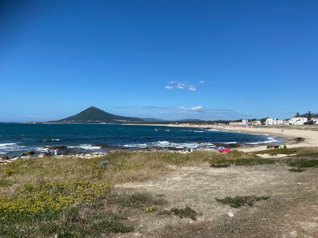
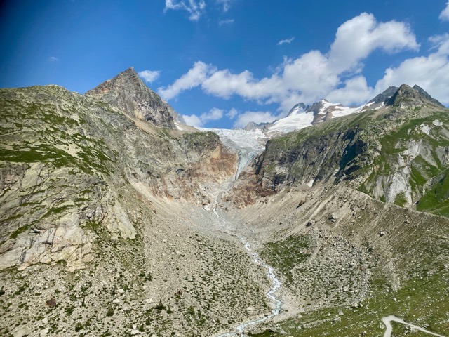
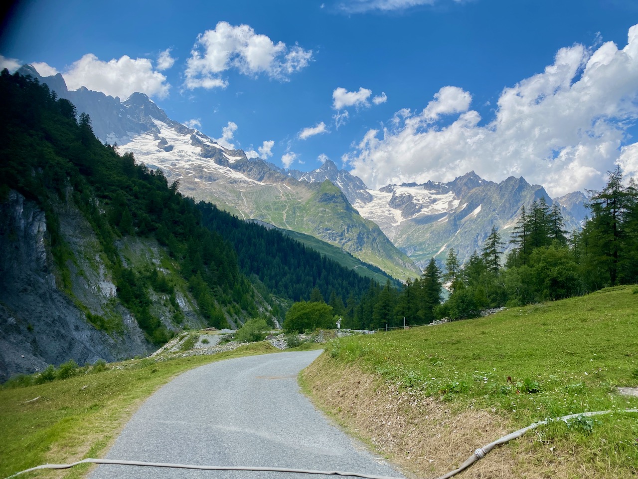
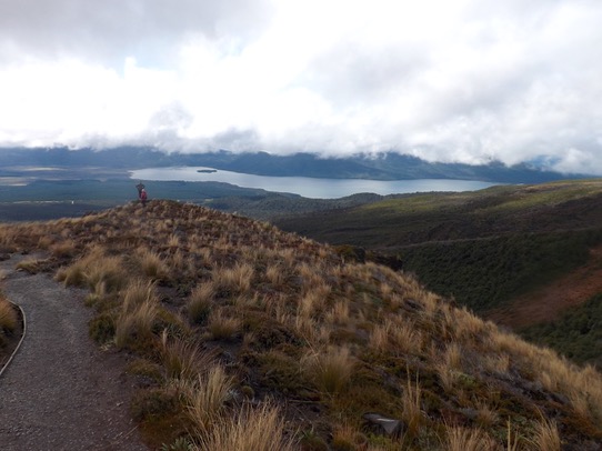
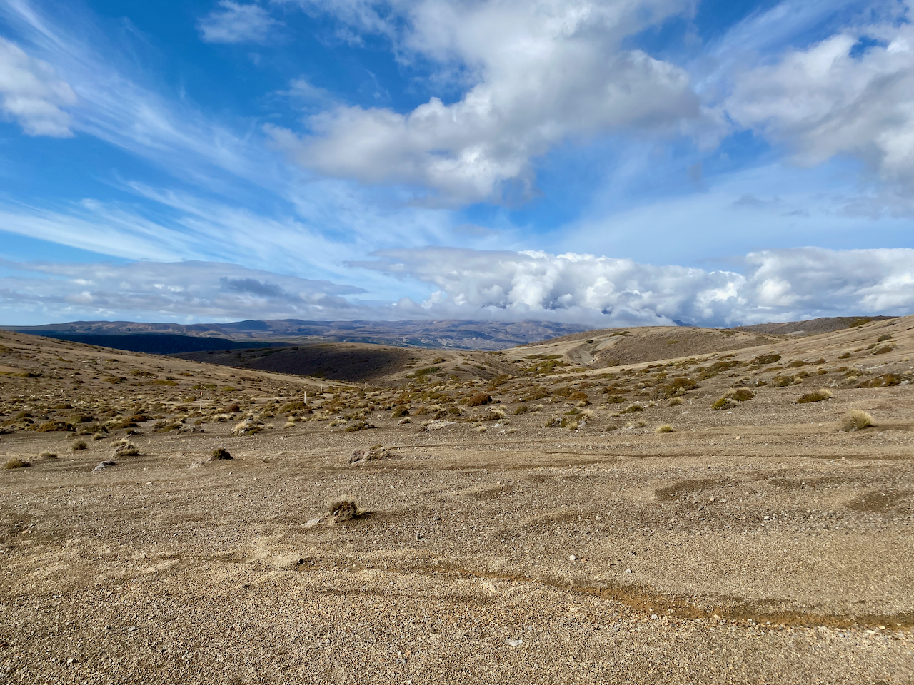
I set out again across the tussock covered plains, ever so slightly undulating, the low cloud covering the top of Mt Ngauhuhoe. As this hike circumnavigates the volcanic cone, and because it was Mt Doom in the Lord of the Rings, I think this hike should be renamed to The Mordor Circuit.

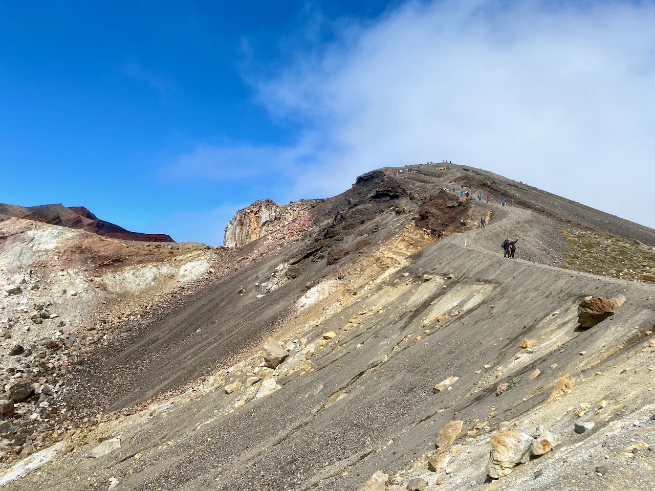
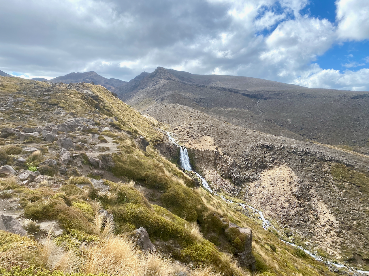
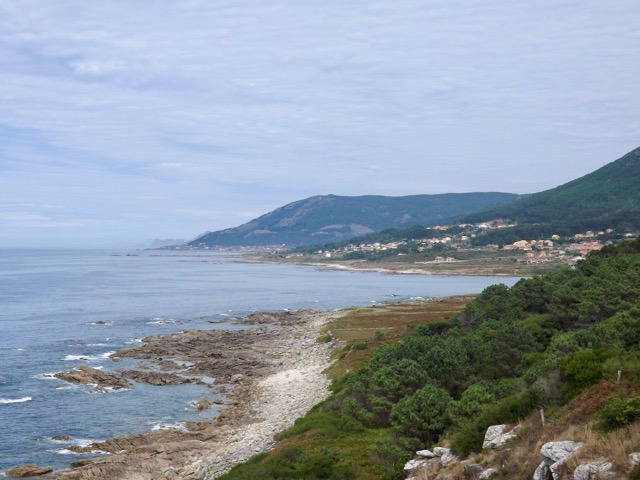
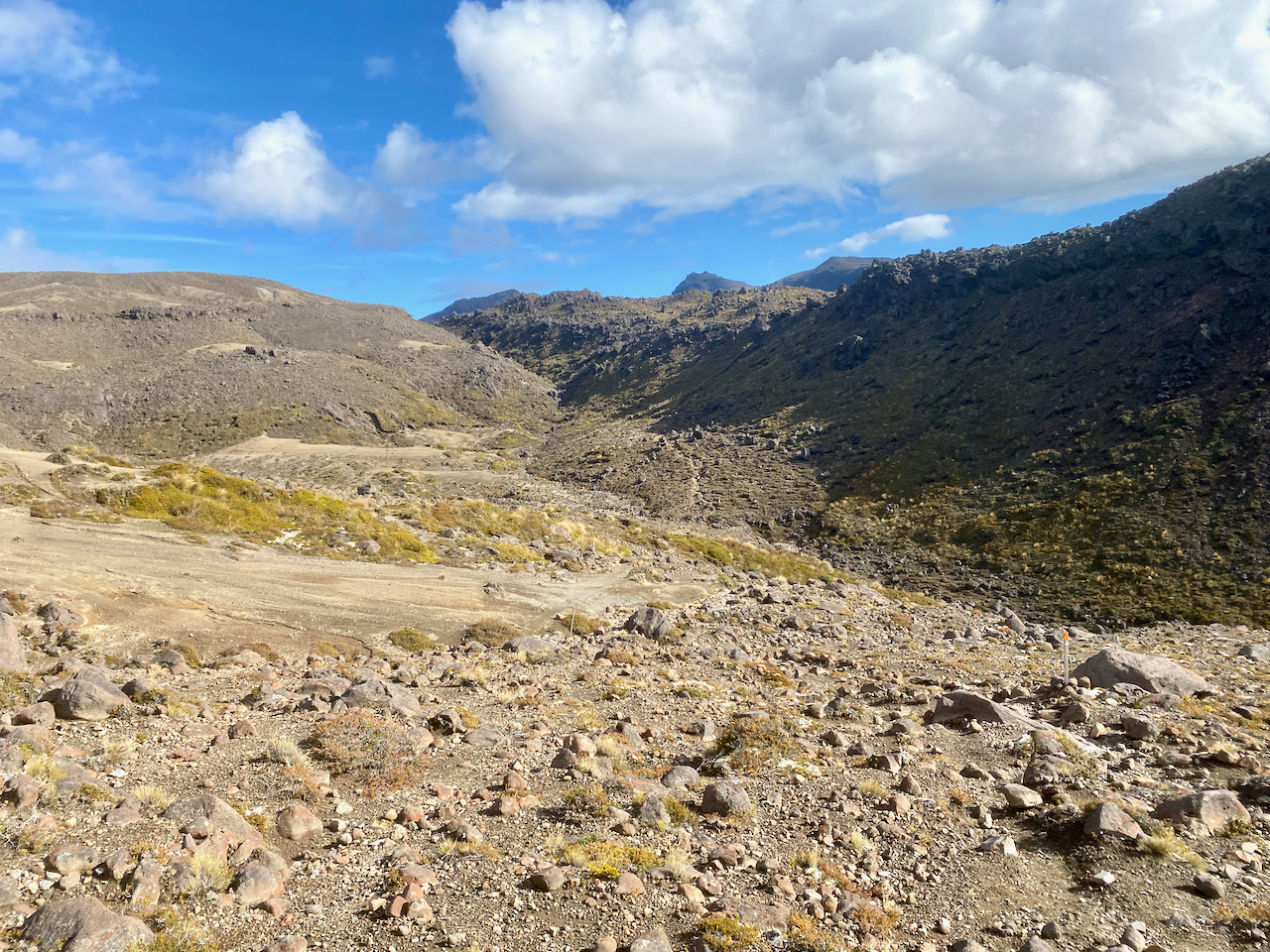
Today’s section has no large ascents or descents, but a very slow, almost unnoticeable, climb to the mid point, a dip down to one of the many streams on the trail, then a climb to the day’s highpoint.

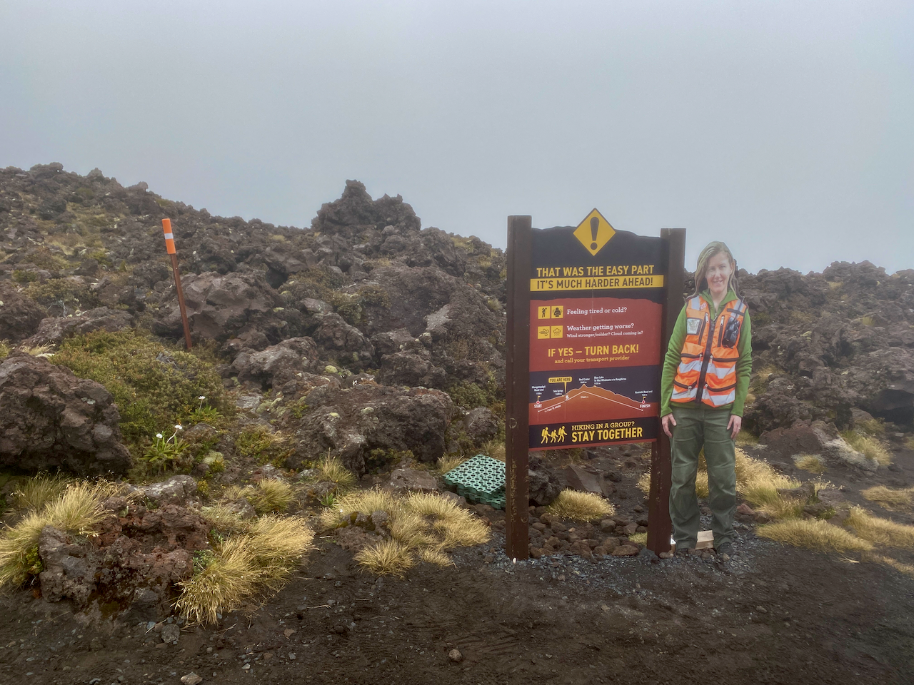
At that highpoint, there is a T-junction, one way leading to the Tama Lakes, and the other continuing on to the the end of the trail. I stopped for a break at the junction, near the toilet that cannot be seen as it is camouflaged to look like the tussock plains. This is not the only toilet of its kind in the National Park, wherever tourists can walk, there are toilets, and as they walk out to the Tama Lakes, there’s one here.

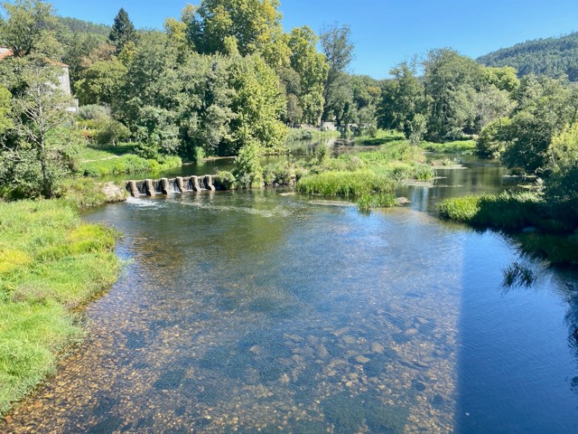
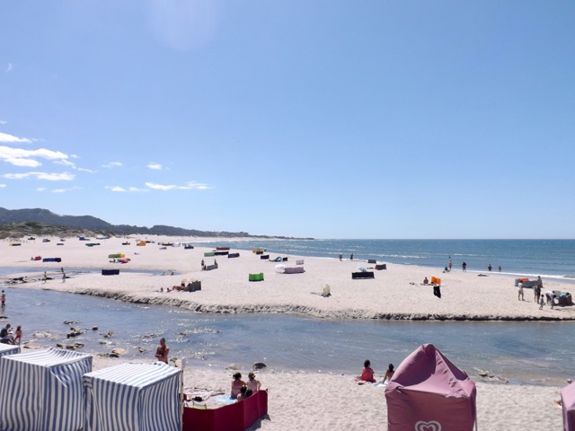
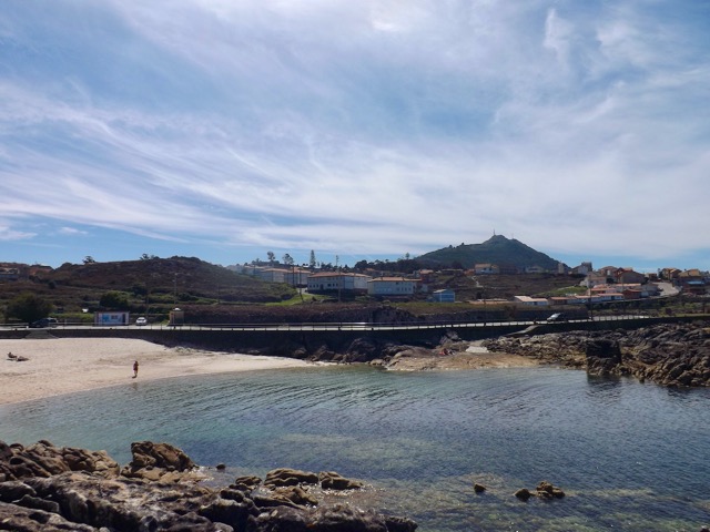
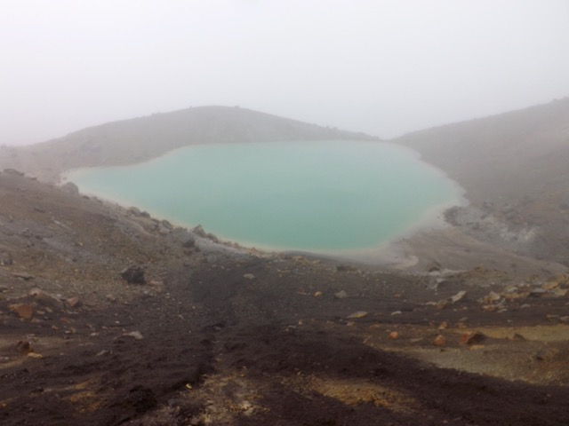
There are two Tama Lakes, the Upper being 45 minutes walk from this junction and the Lower being only 10 minutes walk. I wasn’t keen to walk all the way too the Upper Tama Lake, so leaving my pack at the invisible toilet, I made my way to the Lower Tama Lake.

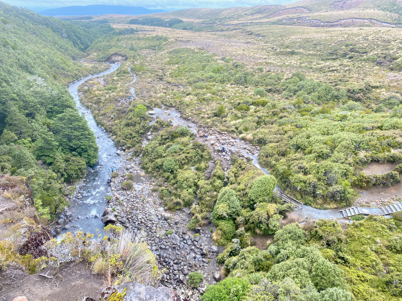
After a quick photo, I trotted back, had a snack, donned my pack and headed off again. From here on I would begin to cross paths with more and more day walkers. The trail began to undulate more but nothing overly difficult. And after an hour, I came to a rather busy location. I dropped my pack amidst many tourists, and climbed down some steep steps to view the Taranaki Falls.

I then climbed back to my pack, and stood at the top of the falls looking down.
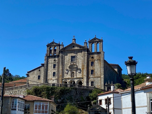
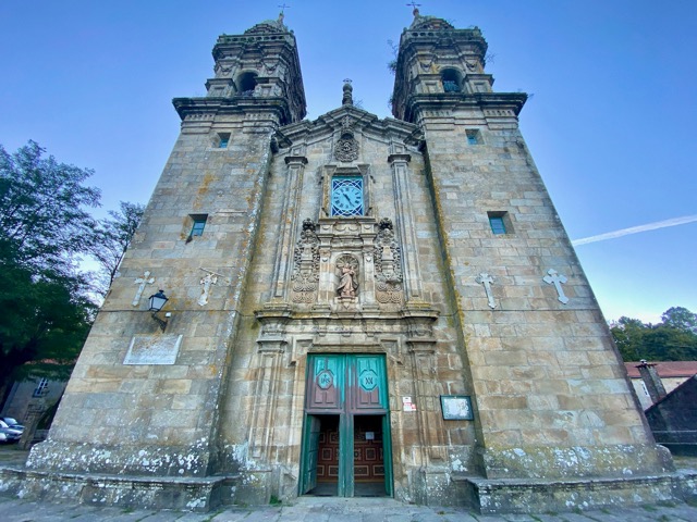
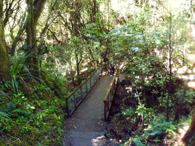
A sign near the waterfall said 1 hour to the Whakapapa Village, twenty minutes longer than I had estimated, so I got my skates on. After 10 minutes, I saw the recently closed Tongariro Chateau in the distance, I kept my march on. I cut through some woods, and when I emerged, ten minutes before the end of the track, I stopped to take my final shot of Mt Doom.

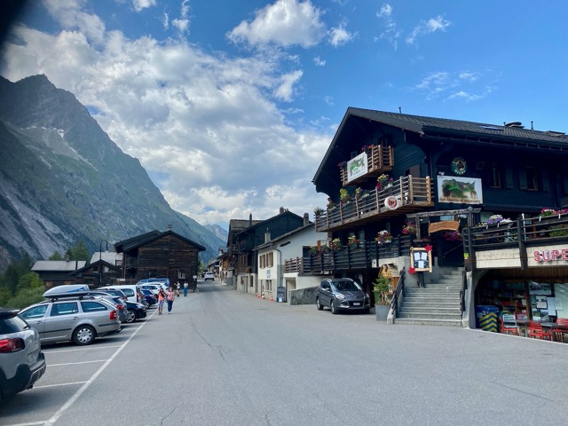
When I reached the end of the trail, I walked past the chateau to the place where I had left my vehicle. It was 12:15, the time I’d estimated mid today’s walk, and even with the short side track to the Lower Tama Lake, I still came in an hour and a half early.
Overall
The Mordor Circuit, officially known as the Tongariro Northern Circuit, was a good walk although, to be honest, days 1, 3 and 4 just felt like alternative ways to get to and from the main attraction, the Tongariro Alpine Crossing. In comparison, these three days put together don’t come close to the sheer exhilaration of the Alpine Crossing in effort, beauty, and reward. In saying that, I still enjoyed my four days on the trail.
The Lone Trail Wanderer.